Old Maps of New Castle, Pennsylvania for Metal Detecting
Plan your next treasure hunt with 31 historic maps of New Castle. Find old homesites, ghost towns, trails, and gathering spots that may be lost to time — perfect for identifying promising metal detecting locations.
- Locate forgotten sites: Uncover places like long-lost settlements, abandoned rail lines, or gathering spots.
- Plan better hunts: Use map overlays combined with LiDAR or satellite views to narrow in on historically rich areas.
- Made for detectorists: Thousands of hobbyists use these maps to discover relics, coins, and hidden history.
Use these historic maps to boost your research and find new opportunities beneath the surface of New Castle.
New Castle, PA maps
(31)- 1902 Map of New Castle, 1956 Print
 1902 New Castle1956 Print · USGSLawrence and Beaver counties were industrial powerhouses at the turn of the century, defined by a massive intersection of river and rail. Researchers can trace the complex rail networks of the Pennsylvania RR and find historic hubs like New Castle, Ellwood City, and New Galilee.
 - 1904 Map of Newcastle
 1904 Newcastle1904 Print · USGSLawrence and Beaver Counties are captured at a peak of industrial expansion during the early 1900s, when the river valleys were heavy with rail traffic. Genealogists and historians can trace the early footprints of Newcastle, the remote Thompson Run Mines, and the vanished Irish Ripple Newport PO.6 unique versions available
 - 1905 Map of Neshannock, 1960 Print
 1905 Neshannock1960 Print · USGSNear the Pennsylvania-Ohio border after the turn of the century, the river valleys were heavy with steam rail and industry. Researchers can trace historic station stops like Skidmore Eastbrook Sta and local landmarks like the White Chapel or Neshannock Falls.
 - 1907 Map of Neshannock
 1907 Neshannock1907 Print · USGSMercer and Lawrence counties are shown here at the height of the steam and electric rail era. Genealogists and local historians can trace family-named landmarks like Books Woods School, Mathews School, and Fayetteville Fay PO.5 unique versions available
 - 1950 Map of Cleveland
 1950 Cleveland1950 Print · USGSCovers New Castle, including Cleveland, Akron, and other nearby areas
 - 1951 Map of Canton
 1951 Canton1951 Print · USGSThe industrial heartland of Ohio and Pennsylvania reached its mid-century peak during this era of heavy rail and river transit. Genealogists and historians can trace the development of steel towns like Aliquippa and Weirton alongside the Ohio River and major lines of the Pennsylvania RR.
 - 1953 Map of Canton
 1953 Canton1953 Print · USGSThe industrial heartland of Ohio and Pennsylvania is captured at its mid-century peak in this detailed regional survey. Genealogists and historians can trace the vast rail networks of the Pennsylvania RR and find local landmarks like Nimisila Reservoir and Tappan Reservoir.
 - 1956 Map of Cleveland, 1967 Print
 1956 Cleveland1967 Print · USGSNortheast Ohio and Western Pennsylvania are shown at their industrial height during the mid-fifties, from the steel mills to the lakeshore. Researchers can trace the massive Ravenna Arsenal, the Ohio Turnpike, and vanished rail sidings of the B & O RR.3 unique versions available
 - 1957 Map of Canton, 1971 Print
 1957 Canton1971 Print · USGSThe industrial heartland of eastern Ohio and western Pennsylvania comes alive in this mid-century survey of the Ohio River Valley. Trace the heritage of rail and river commerce through Pittsburgh, the massive steel towns along the Ohio River, and major junctions on the Pennsylvania RR.3 unique versions available
 - 1958 Map of Bessemer, 1959 Print
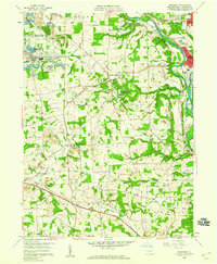 1958 Bessemer1959 Print · USGSWestern Lawrence County in the late fifties shows a landscape shaped by coal, quarrying, and heavy rail. Genealogists can trace family names and local burials at Madonna Cem or Mount Jackson Cem while following the Pennsylvania RR corridor.4 unique versions available
 - 1958 Map of New Castle South, 1960 Print
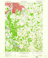 1958 New Castle South1960 Print · USGSLawrence County industrial life is captured here in the late fifties, showcasing the complex rail networks and mining operations south of New Castle. Researchers can trace family roots through numerous parish sites and rural schools like St Nicholas Cem, Greenwood Ch, and Rural Hill Sch.4 unique versions available
 - 1958 Map of New Castle North, 1960 Print
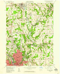 1958 New Castle North1960 Print · USGSLawrence County was undergoing significant post-war growth in the late fifties as residential neighborhoods expanded north from New Castle toward New Wilmington. Researchers can locate long-standing institutions like Westminster College and trace family plots at Oak Park Cemetery or Neshannock Church Cemetery.5 unique versions available
 - 1962 Map of Canton
 1962 Canton1962 Print · USGSThe industrial heartland of Eastern Ohio and Western Pennsylvania thrives in the early sixties as steel mills and rail lines dominate the river valleys. Genealogists and historians can trace local landmarks like McKinley National Memorial, Malone College, and industrial sites such as Republic Steel Corp.2 unique versions available
 - 1962 Map of Cleveland
 1962 Cleveland1962 Print · USGSNortheast Ohio and the Pennsylvania borderlands appear here during the industrial peak of the early sixties. Genealogists and historians can trace the expansive rail lines of the Nickel Plate Road and the growth of suburbs from Parma to Lyndhurst.
 - 1986 Map of East Liverpool
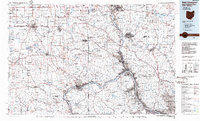 1986 East Liverpool1986 Print · USGSThe tri-state border region in the 1980s reveals a landscape shaped by the Ohio River and a massive rail network. Researchers can trace the industrial footprint of East Liverpool and Midland or locate inland landmarks like Pine Lake and Strip Mines.2 unique versions available
 - 1986 Map of Youngstown, 1988 Print
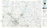 1986 Youngstown1988 Print · USGSThe industrial corridor of the Mahoning Valley and the collegiate towns of Western Pennsylvania are captured here in the mid-eighties. Researchers can trace the rail lines of the Conrail network or locate historical sites like Churchill and Crown Hill Cem.2 unique versions available
 - 2010 Map of New Castle South, 2010 Print
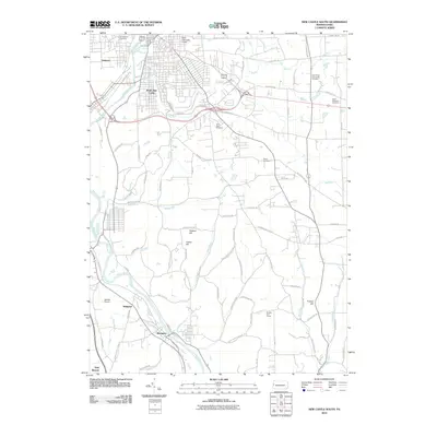 2010 New Castle South2010 Print · USGSThe industrial river valleys of Lawrence County come into focus in the early 2000s as the Shenango River and Beaver River guide local settlement. Researchers can trace family roots at Saint Vitus Cemetery or explore the corridor between South New Castle and Wampum.
 - 2010 Map of Bessemer, 2010 Print
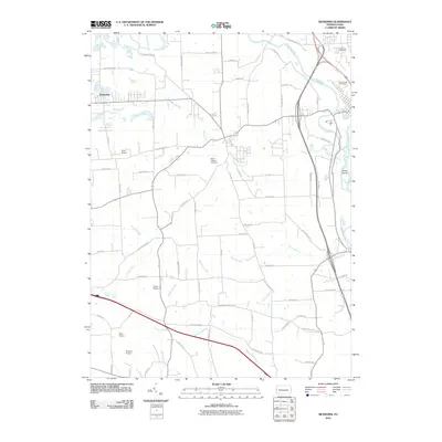 2010 Bessemer2010 Print · USGSLawrence County, Pennsylvania, is captured here in the early 21st century, showing a landscape of rural airfields and river valleys. Genealogists can locate Madonna Cemetery or trace aviation history at Gwin Airport and Evans Airport.
 - 2010 Map of New Castle North, 2010 Print
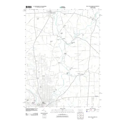 2010 New Castle North2010 Print · USGSNorth of the industrial hub of New Castle in the early 21st century, this area of Lawrence County preserves a dense network of rural settlements and family cemeteries. Genealogists can trace local heritage through sites like Saint Josephs Cemetery or the historic Fayette Chapel near the banks of Neshannock Creek.
 - 2013 Map of Bessemer, 2013 Print
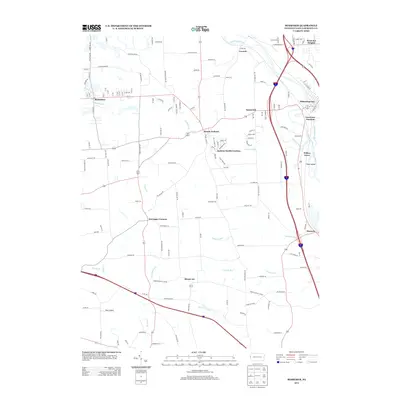 2013 Bessemer2013 Print · USGSLawrence County’s river valleys and upland settlements are captured here in the early twenty-first century. Researchers can trace the confluence of the Shenango River and Mahoning River or locate family roots in Bessemer, Mount Air, and Moravia.
 - 2013 Map of New Castle South, 2013 Print
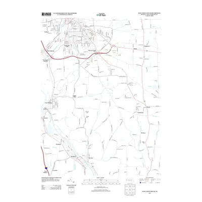 2013 New Castle South2013 Print · USGSThe industrial corridor south of New Castle is shown here in the early 21st century as it follows the rivers and rail lines. You can trace the development of riverside towns like Wampum, Chewton, and West Pittsburg or find landmarks like Jackson Airport.
 - 2013 Map of New Castle North, 2013 Print
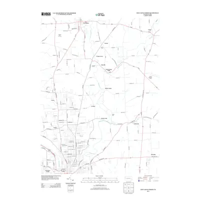 2013 New Castle North2013 Print · USGSLawrence County in the early twenty-first century reveals a landscape where the urban fringes of New Castle meet the rural boroughs of New Wilmington and Volant. Researchers can trace the winding paths of Neshannock Cr through local hamlets like Neshannock Falls, Eastbrook, and Coaltown.
 - 2016 Map of New Castle North, 2016 Print
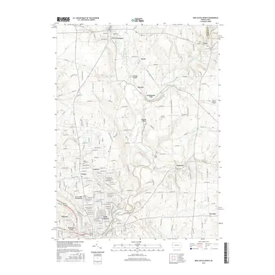 2016 New Castle North2016 Print · USGSLawrence County and the northern outskirts of New Castle are shown here in the mid-2010s, where academic institutions and rural villages meet. Genealogists and historians can trace the grounds of Westminster Coll and several local cemeteries, including Fair Oaks Cem and Volant Cem.
 - 2016 Map of Bessemer, 2016 Print
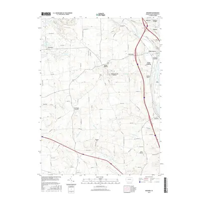 2016 Bessemer2016 Print · USGSLawrence County at the turn of the century reveals a complex hub of river confluences and rail infrastructure south of New Castle. Researchers can trace historic cemeteries like Mount Jackson Cem and industrial-era settlements from Mahoningtown to Bessemer.
 - 2016 Map of New Castle South, 2016 Print
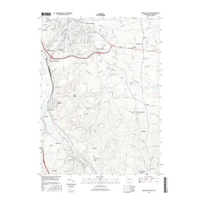 2016 New Castle South2016 Print · USGSLawrence County's industrial and river-valley corridor is captured here in the mid-2010s, showing the dense settlement patterns south of New Castle. Researchers can trace historical railroad hubs at New Castle Junction or locate family roots at Saint Vitus Cem and Greenwood Cem.
Showing maps 1-25 of 31
Top cities near New Castle
- Youngstown historical maps
- Hermitage historical maps
- Sharon historical maps
- Unity historical maps
- Struthers historical maps
- Beaver Falls historical maps
See more
Top neighborhoods of New Castle
- East Side historical maps
- Lower East Side historical maps
- West New Castle historical maps
- South Side historical maps
- Croton historical maps
- Sheep Hill historical maps
See more
Frequently asked questions
- What are the different types of historical maps available for New Castle?
- What is the oldest map of New Castle?
- Where can I purchase historical maps of New Castle for my home or office?
- Where can I download high-res historical maps of New Castle?
- Are there historical topographic maps available for New Castle?
- Is there historical aerial imagery available for New Castle?
- Where are historical maps of New Castle sourced from?