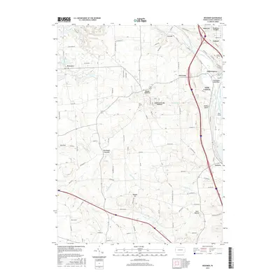
2016 Map of Bessemer
USGS Topo · Published 2016About this map
The Beaver River and Shenango River converge south of New Castle at the turn of the 21st century, defining a landscape marked by industrial rail history and small crossroads settlements. This map illustrates the intricate transportation network of Lawrence County, where the B & O RR and major highways thread between established communities like Mahoningtown and Lawrence Junction. The western portion of the quadrangle is dominated by the borough of Bessemer and the unique cultural landscape of S.N.P.J.
Find a feature on this map
91 named features on this map. Tap any name to fly to it.
Don’t see what you’re looking for? This feature index may not catch every label — zoom into the map to look around manually.
Map Details
Editions of this 2016 Bessemer Map
This is the sole edition of this map. No revisions or reprints were ever made.
Other maps of this area

1902 · New Castle
USGS Topo · 1:62,500

1904 · Newcastle
USGS Topo · 1:62,500

1905 · Neshannock
USGS Topo · 1:62,500

1906 · Youngstown
USGS Topo · 1:62,500

1907 · Neshannock
USGS Topo · 1:62,500

1907 · Columbiana
USGS Topo · 1:62,500

1908 · Youngstown
USGS Topo · 1:62,500

1909 · Columbiana
USGS Topo · 1:62,500

1950 · Cleveland
USGS Topo · 1:250,000

1951 · Canton
USGS Topo · 1:250,000