2010s Maps of Union Township, Pennsylvania
Explore 16 historic maps of Union Township from the 2010s. These maps offer a rare glimpse into what life looked like during the 2010s — showing old roads, neighborhoods, homes, and landmarks that have changed or disappeared over time.
Whether you're researching your family's past, planning a metal detecting trip, or studying how Union Township's landscape evolved across the 2010s, these high-resolution maps are a powerful tool for exploring the history of this region.
- Focus on a specific era: All maps on this page are from the 2010s, giving you a focused view of this time period.
- See what’s changed: Compare century-old streets, trails, and buildings to today's modern landscape using overlays and satellite layers.
- Research with precision: Use these maps for genealogy, historical research, land use analysis, or educational projects.
- View, download, or print: Maps are fully viewable online in high resolution, and can be downloaded or printed for your own records.
Start exploring Union Township's history through authentic maps from the 2010s. This is your window into the past.
Union Township, PA maps
(16)- 2010 Map of New Castle South, 2010 Print
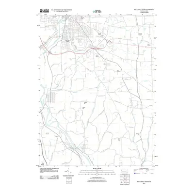 2010 New Castle South2010 Print · USGSThe industrial river valleys of Lawrence County come into focus in the early 2000s as the Shenango River and Beaver River guide local settlement. Researchers can trace family roots at Saint Vitus Cemetery or explore the corridor between South New Castle and Wampum.
 - 2010 Map of Bessemer, 2010 Print
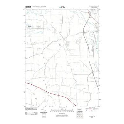 2010 Bessemer2010 Print · USGSLawrence County, Pennsylvania, is captured here in the early 21st century, showing a landscape of rural airfields and river valleys. Genealogists can locate Madonna Cemetery or trace aviation history at Gwin Airport and Evans Airport.
 - 2010 Map of New Castle North, 2010 Print
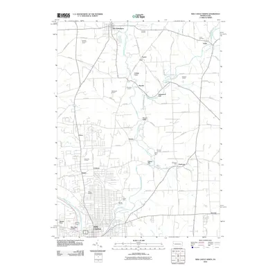 2010 New Castle North2010 Print · USGSNorth of the industrial hub of New Castle in the early 21st century, this area of Lawrence County preserves a dense network of rural settlements and family cemeteries. Genealogists can trace local heritage through sites like Saint Josephs Cemetery or the historic Fayette Chapel near the banks of Neshannock Creek.
 - 2010 Map of Edinburg, 2010 Print
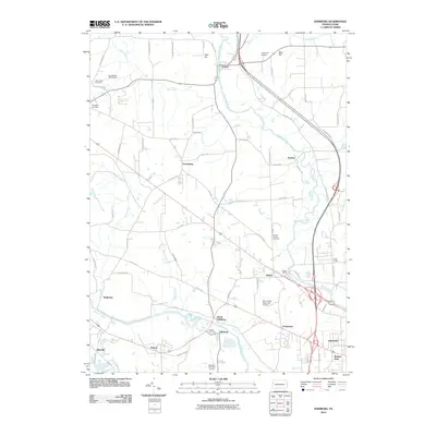 2010 Edinburg2010 Print · USGSLawrence County at the start of the 2010s shows a landscape of river-valley settlements and quiet crossroads. Researchers can trace family history through sites like Ashton Cemetery, Kings Chapel, and the small community of Frizzleburg.
 - 2013 Map of Bessemer, 2013 Print
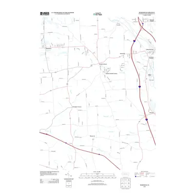 2013 Bessemer2013 Print · USGSLawrence County’s river valleys and upland settlements are captured here in the early twenty-first century. Researchers can trace the confluence of the Shenango River and Mahoning River or locate family roots in Bessemer, Mount Air, and Moravia.
 - 2013 Map of New Castle South, 2013 Print
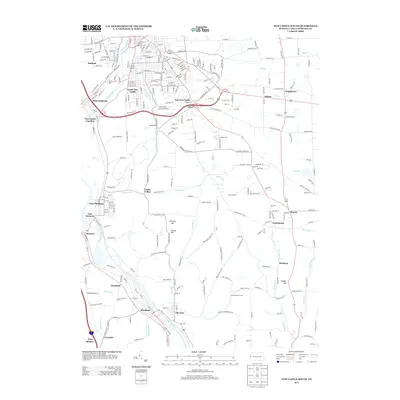 2013 New Castle South2013 Print · USGSThe industrial corridor south of New Castle is shown here in the early 21st century as it follows the rivers and rail lines. You can trace the development of riverside towns like Wampum, Chewton, and West Pittsburg or find landmarks like Jackson Airport.
 - 2013 Map of Edinburg, 2013 Print
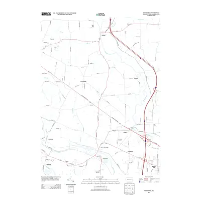 2013 Edinburg2013 Print · USGSLawrence County at the start of the 2010s shows a landscape of river-valley settlements and quiet crossroads. Genealogists and local historians can locate smaller hamlets like Frizzleburg and Peanut or trace the development around Edinburg and Kings Chapel.
 - 2013 Map of New Castle North, 2013 Print
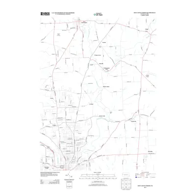 2013 New Castle North2013 Print · USGSLawrence County in the early twenty-first century reveals a landscape where the urban fringes of New Castle meet the rural boroughs of New Wilmington and Volant. Researchers can trace the winding paths of Neshannock Cr through local hamlets like Neshannock Falls, Eastbrook, and Coaltown.
 - 2016 Map of Edinburg, 2016 Print
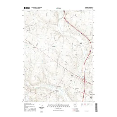 2016 Edinburg2016 Print · USGSLawrence County settlements are meticulously documented here in the mid-2010s, showing the residential and transit patterns between the river valleys. Trace local roots at Ashton Cem or explore the geography of places like Frizzleburg, Peanut, and Pulaski.
 - 2016 Map of New Castle North, 2016 Print
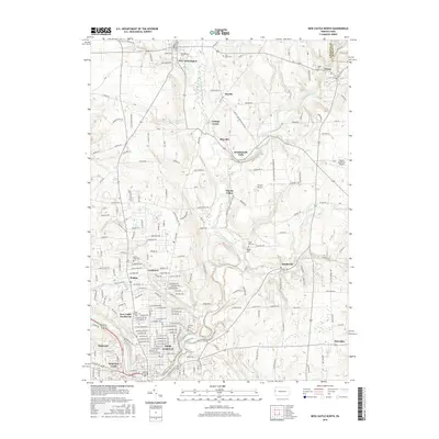 2016 New Castle North2016 Print · USGSLawrence County and the northern outskirts of New Castle are shown here in the mid-2010s, where academic institutions and rural villages meet. Genealogists and historians can trace the grounds of Westminster Coll and several local cemeteries, including Fair Oaks Cem and Volant Cem.
 - 2016 Map of Bessemer, 2016 Print
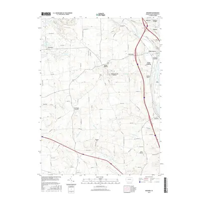 2016 Bessemer2016 Print · USGSLawrence County at the turn of the century reveals a complex hub of river confluences and rail infrastructure south of New Castle. Researchers can trace historic cemeteries like Mount Jackson Cem and industrial-era settlements from Mahoningtown to Bessemer.
 - 2016 Map of New Castle South, 2016 Print
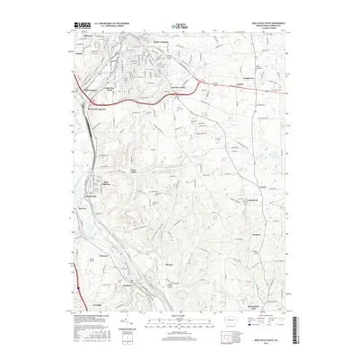 2016 New Castle South2016 Print · USGSLawrence County's industrial and river-valley corridor is captured here in the mid-2010s, showing the dense settlement patterns south of New Castle. Researchers can trace historical railroad hubs at New Castle Junction or locate family roots at Saint Vitus Cem and Greenwood Cem.
 - 2019 Map of Edinburg, 2019 Print
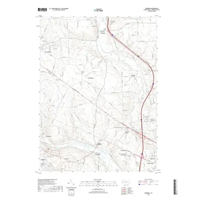 2019 Edinburg2019 Print · USGSLawrence County settlements and river valleys are captured here in the late 2010s. Genealogists can trace family landmarks at Hopewell Cem and Saint Lawrence Cem, or locate historic hamlets like Peanut and Frizzleburg.
 - 2019 Map of New Castle North, 2019 Print
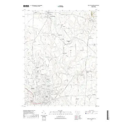 2019 New Castle North2019 Print · USGSLawrence County's northern corridor comes alive in the late 2010s, showing the settled valleys between New Wilmington and New Castle. Genealogists can trace family names through numerous sites like Fayette Lutheran Cem and Saint Josephs Cem.
 - 2019 Map of Bessemer, 2019 Print
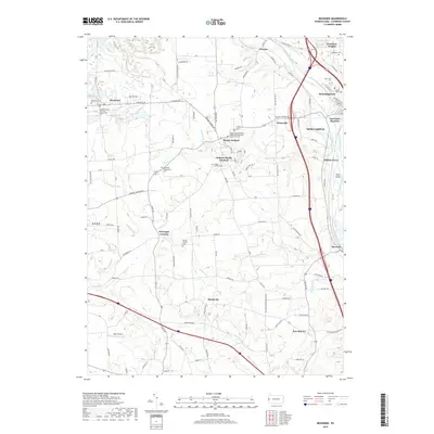 2019 Bessemer2019 Print · USGSLawrence County at the confluence of the Mahoning and Shenango rivers comes alive in this detailed look at its rail and river heritage. Researchers can trace the heritage of local congregations and families at Bethel Church, Bessemer Cem, and the Westfield Presbyterian Church.
 - 2019 Map of New Castle South, 2019 Print
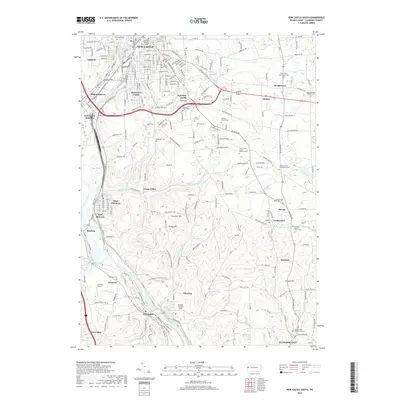 2019 New Castle South2019 Print · USGSLawrence County is shown here in the late twenty-teens as a landscape shaped by river valleys and heavy rail infrastructure. Researchers can trace historic family plots at Harmony Baptist Church Cem or explore the rail heritage of New Castle Junction and Mahoningtown.
End of results
Showing maps 1-16 of 16
Top cities near Union Township
- Youngstown historical maps
- New Castle historical maps
- Hermitage historical maps
- Sharon historical maps
- Unity historical maps
- Struthers historical maps
See more
Top neighborhoods of Union Township
- Belmar Park historical maps
- Harbor historical maps
- Oakland historical maps
- Oakwood historical maps
- Parkstown historical maps
- Westview Heights historical maps
Frequently asked questions
- What are the different types of historical maps available for Union Township?
- What is the oldest map of Union Township?
- Where can I purchase historical maps of Union Township for my home or office?
- Where can I download high-res historical maps of Union Township?
- Are there historical topographic maps available for Union Township?
- Is there historical aerial imagery available for Union Township?
- Where are historical maps of Union Township sourced from?