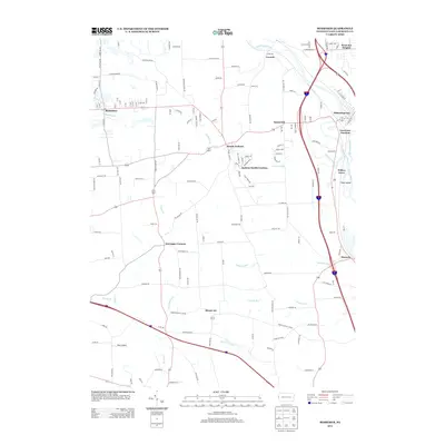
2013 Map of Bessemer
USGS Topo · Published 2013About this map
Bessemer and Mount Jackson anchor this portion of Lawrence County, where the convergence of the Mahoning River and Shenango River forms the headwaters of the Beaver River. This river junction, historically critical for transportation and early industrial siting, remains a central geographic feature near Lawrence Junction and Mahoningtown. The landscape transitions from these river corridors to the rolling uplands of the west, dotted with residential clusters like Jackson Knolls Gardens and Sunnyside.
Find a feature on this map
146 named features on this map. Tap any name to fly to it.
Don’t see what you’re looking for? This feature index may not catch every label — zoom into the map to look around manually.
Map Details
Editions of this 2013 Bessemer Map
This is the sole edition of this map. No revisions or reprints were ever made.
Other maps of this area

1902 · New Castle
USGS Topo · 1:62,500

1904 · Newcastle
USGS Topo · 1:62,500

1905 · Neshannock
USGS Topo · 1:62,500

1906 · Youngstown
USGS Topo · 1:62,500

1907 · Neshannock
USGS Topo · 1:62,500

1907 · Columbiana
USGS Topo · 1:62,500

1908 · Youngstown
USGS Topo · 1:62,500

1909 · Columbiana
USGS Topo · 1:62,500

1950 · Cleveland
USGS Topo · 1:250,000

1951 · Canton
USGS Topo · 1:250,000