Old Maps of Harveys Lake, Pennsylvania for Genealogy
Trace your family roots with 23 historic maps of Harveys Lake. These high-res maps reveal old neighborhoods, homesites, landmarks, and streets — helping you uncover where your ancestors lived and how the area evolved over time.
- Explore historic neighborhoods: Identify where your relatives may have lived in the 1800s or 1900s.
- Compare maps over time: Trace the changes in streets, buildings, and landmarks for multi-generational research.
- Perfect for genealogy & ancestry research: Used by family historians and researchers to map out lineage and migration.
These maps are an incredible resource for exploring your personal connection to Harveys Lake's past.
Harveys Lake, PA maps
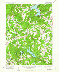
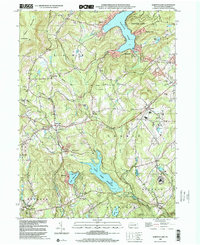
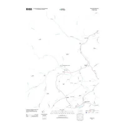
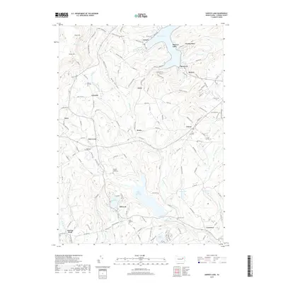
(23)- 1891 Map of Harveys Lake, 1962 Print
 1891 Harveys Lake1962 Print · USGSLuzerne and Wyoming counties are shown here in the late nineteenth century as the timber and rail industries transformed the mountains. Researchers can trace the Lehigh Valley R.R. through Noxen and locate early lake settlements like Laketon and Idetown.
 - 1893 Map of Harvey Lake
 1893 Harvey Lake1893 Print · USGSThe northern Pennsylvania Highlands are captured here in the late nineteenth century, just as the lumber industry was reshaping the landscape. Genealogists and historians can trace the early rail spurs of the Lewis Lumber R. R. and locate family-named hamlets like Cease Mills, Rittenhouse, and Sweet Valley.6 unique versions available
 - 1946 Map of Harveys Lake, 1962 Print
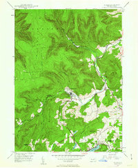
 1946 Harveys Lake1962 Print · USGSLuzerne County's Back Mountain region appears here in the mid-1940s, characterized by its deep glacial lakes and highland ridges. Researchers can locate vanished landmarks like the Santee Sch, Wordan Place, and numerous family burial grounds including Kocher Cem.5 unique versions available
 - 1946 Map of Noxen, 1963 Print
 1946 Noxen1963 Print · USGSWyoming County settlement and mountain terrain are captured here just after the war, showing the area's transition into Luzerne County. Genealogists can trace family footprints in small hamlets like Noxen, Evans Falls, and Beaumont, or locate the Childrens Welfare Center and Faggles.5 unique versions available
 - 1949 Map of Noxen
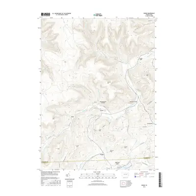
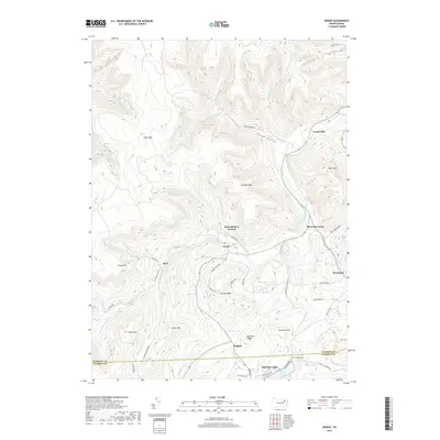
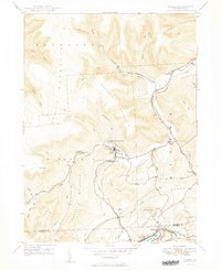 1949 Noxen1949 Print · USGSThe mountainous border of Wyoming and Luzerne counties comes into focus in the years after the war, showing the industrial and social hubs of the region. Local researchers can trace the Lehigh Valley rail corridor through Noxen and locate landmarks like the Childrens Welfare Center and Harvey Lake.2 unique versions available
 - 1949 Map of Harvey Lake
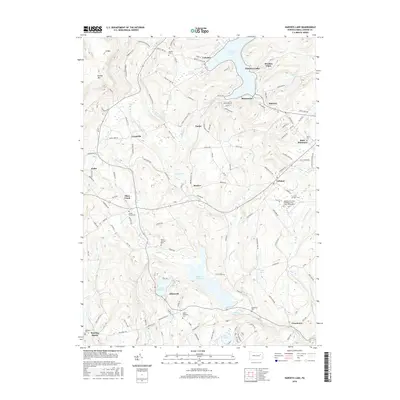
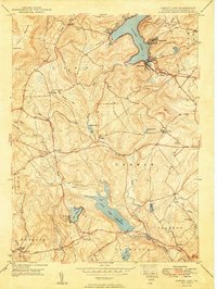 1949 Harvey Lake1949 Print · USGSLuzerne County's lake country is captured here during the late 1940s, showing the early development of resort and rural life. Genealogists can trace family names through landmarks like Wordan Place, Laketon, and the St Anns Cem.2 unique versions available
 - 1954 Map of Williamsport
 1954 Williamsport1954 Print · USGSNorth-central Pennsylvania in the mid-fifties is defined by the winding West Branch Susquehanna River and its industrial valley. Local historians can trace the massive Susquehanna Ordnance Depot and the extensive rail networks of the Pennsylvania Railroad.
 - 1960 Map of Williamsport
 1960 Williamsport1960 Print · USGSNorth-central Pennsylvania in the mid-twentieth century was a vital corridor of rail and river industry stretching from the New York line to the coal regions. Genealogists can trace the rail networks of the Pennsylvania RR and Lehigh Valley RR connecting towns like Williamsport, Towanda, and Lock Haven.
 - 1962 Map of Williamsport, 1966 Print
 1962 Williamsport1966 Print · USGSNorth-central Pennsylvania was a landscape of industrial river hubs and vast state woodlands in the early sixties. Researchers can trace the path of the Pennsylvania Railroad through Williamsport and explore the remote reaches of Bucktail State Park.5 unique versions available
 - 1965 Map of Williamsport
 1965 Williamsport1965 Print · USGSNorth-central Pennsylvania in the mid-1960s is defined by the industrial river towns and vast timberlands of the Allegheny Plateau. Researchers can trace historic rail lines like the Erie Lackawanna and Reading as they thread through Williamsport, Lock Haven, and Jersey Shore.
 - 1966 Map of Williamsport
 1966 Williamsport1966 Print · USGSThe Susquehanna Valley was a hub of transit and industry in the mid-seventies, where the river's West Branch connected major college towns and timberlands. Researchers can trace historical rail lines like the Reading or locate regional landmarks from Jersey Shore to Ricketts Glen State Park.
 - 1984 Map of Williamsport East, 1985 Print
 1984 Williamsport East1985 Print · USGSThe Susquehanna River valley and Allegheny highlands come together in this mid-eighties survey of central Pennsylvania. Trace family roots at Muncy Cem or locate institutional landmarks like Lycoming College and the State Correctional Institution at Retreat.2 unique versions available
 - 1999 Map of Harveys Lake, 2001 Print
 1999 Harveys Lake2001 Print · USGSLuzerne County's uplands are captured here at the end of the century, showing a landscape defined by the waters of Harveys Lake and Pikes Creek Reservoir. Researchers can trace local history through sites like Wordan Place, St Anns Cem, and the Rock Sch.
 - 2010 Map of Noxen, 2010 Print
 2010 Noxen2010 Print · USGSCovers Harveys Lake, including Dallas Township, Noxen Township, and other nearby areas
 - 2010 Map of Harveys Lake, 2010 Print
 2010 Harveys Lake2010 Print · USGSCovers Harveys Lake, including Dallas Township, Lehman Township, and other nearby areas
 - 2013 Map of Harveys Lake, 2013 Print
 2013 Harveys Lake2013 Print · USGSCovers Harveys Lake, including Dallas Township, Lehman Township, and other nearby areas
 - 2013 Map of Noxen, 2013 Print
 2013 Noxen2013 Print · USGSCovers Harveys Lake, including Dallas Township, Noxen Township, and other nearby areas
 - 2016 Map of Harveys Lake, 2016 Print
 2016 Harveys Lake2016 Print · USGSCovers Harveys Lake, including Dallas Township, Lehman Township, and other nearby areas
 - 2016 Map of Noxen, 2016 Print
 2016 Noxen2016 Print · USGSCovers Harveys Lake, including Dallas Township, Noxen Township, and other nearby areas
 - 2019 Map of Noxen, 2019 Print
 2019 Noxen2019 Print · USGSCovers Harveys Lake, including Dallas Township, Noxen Township, and other nearby areas
 - 2019 Map of Harveys Lake, 2019 Print
 2019 Harveys Lake2019 Print · USGSCovers Harveys Lake, including Dallas Township, Lehman Township, and other nearby areas
 - 2023 Map of Harveys Lake, 2023 Print
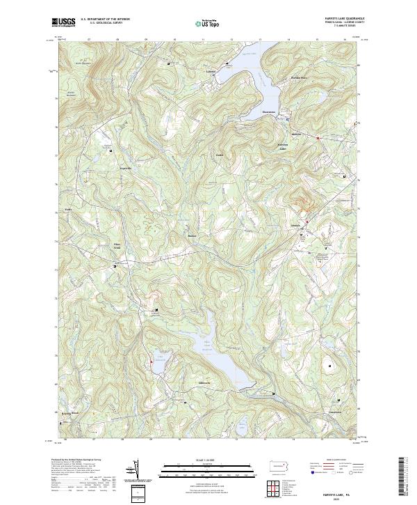 2023 Harveys Lake2023 Print · USGSHarveys Lake and the surrounding Back Mountain communities are captured in this recent survey of the Luzerne County highlands. Researchers can trace family history through numerous burial sites like Lehman Center Cem and Saint Anns Cem, or locate the Pennsylvania State University Wilkes-Barre campus.
 - 2023 Map of Noxen, 2023 Print
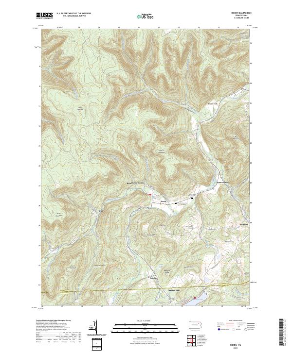 2023 Noxen2023 Print · USGSThe mountain valleys of Wyoming County are documented here in detail, showing the settlement patterns along Bowman Creek. Researchers can locate family burial sites like Orcutt's Grove Cem Dymond Section and trace old routes through Noxen and Stull.
End of results
Showing maps 1-23 of 23
Top cities near Harveys Lake
- Wilkes-Barre historical maps
- Kingston historical maps
- Nanticoke historical maps
- Plains Township historical maps
- Dallas Township historical maps
- Kingston Township historical maps
See more
Top neighborhoods of Harveys Lake
Frequently asked questions
- What are the different types of historical maps available for Harveys Lake?
- What is the oldest map of Harveys Lake?
- Where can I purchase historical maps of Harveys Lake for my home or office?
- Where can I download high-res historical maps of Harveys Lake?
- Are there historical topographic maps available for Harveys Lake?
- Is there historical aerial imagery available for Harveys Lake?
- Where are historical maps of Harveys Lake sourced from?