
1946 Map of Noxen
USGS Topo · Published 1963About this map
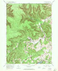
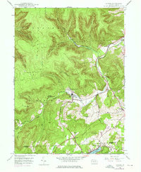
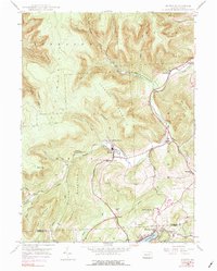
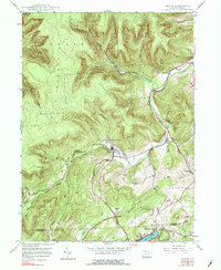
Noxen serves as the central hub of this mid-century landscape, positioned at the confluence of Bowman Creek and several mountain runs. The settlement pattern is defined by the steep elevation changes of the Endless Mountains region, with homes and roads clustered in the narrow valley floor while massive landforms like Schooley Mountain and Noxen Mountain dominate the surrounding terrain. To the south, the transition into Luzerne County is marked by the presence of Harveys Lake, showing the early footprint of development around its northern shore.
Find a feature on this map
38 named features on this map. Tap any name to fly to it.
Don’t see what you’re looking for? This feature index may not catch every label — zoom into the map to look around manually.
Map Details
Editions of this 1946 Noxen Map
5 editions found
Other maps of this area

1891 · Harveys Lake
USGS Topo · 1:62,500

1893 · Harvey Lake
USGS Topo · 1:62,500

1893 · Pittston
USGS Topo · 1:62,500

1943 · Scranton
USGS Topo · 1:125,000

1945 · Meshoppen
USGS Topo · 1:62,500

1945 · Jenningsville
USGS Topo · 1:24,000

1945 · Meshoppen
USGS Topo · 1:24,000

1946 · Tunkhannock
USGS Topo · 1:62,500

1946 · Kingston
USGS Topo · 1:24,000

1946 · Dutch Mtn
USGS Topo · 1:24,000