2000s (21st Century) Maps of Lycoming County, Pennsylvania
Explore 37 historic maps of Lycoming County from the 2000s (21st Century). These maps offer a rare glimpse into what life looked like during the 2000s — showing old roads, neighborhoods, homes, and landmarks that have changed or disappeared over time.
Whether you're researching your family's past, planning a metal detecting trip, or studying how Lycoming County's landscape evolved across the 2000s, these high-resolution maps are a powerful tool for exploring the history of this region.
- Focus on a specific era: All maps on this page are from the 2000s, giving you a focused view of this time period.
- See what’s changed: Compare century-old streets, trails, and buildings to today's modern landscape using overlays and satellite layers.
- Research with precision: Use these maps for genealogy, historical research, land use analysis, or educational projects.
- View, download, or print: Maps are fully viewable online in high resolution, and can be downloaded or printed for your own records.
Start exploring Lycoming County's history through authentic maps from the 2000s. This is your window into the past.
Lycoming County, PA maps
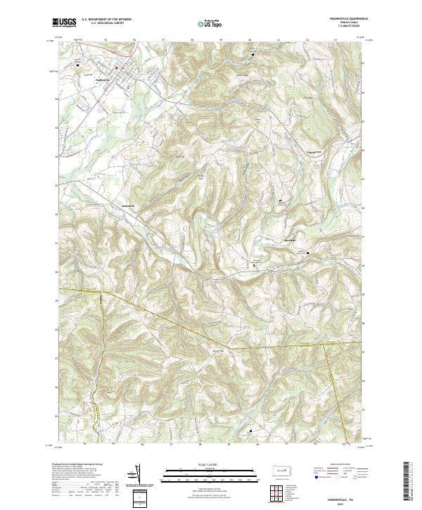
(37)- 2023 Map of Huntersville, 2023 Print
 2023 Huntersville2023 Print · USGSLycoming County’s ridge-and-valley landscape is documented here in recent years, showing the intersection of timberlands and rural community life. Genealogists and historians can locate family plots at Fairfield Cem or Webster Cem and trace the paths around Huntersville.
 - 2023 Map of Hillsgrove, 2023 Print
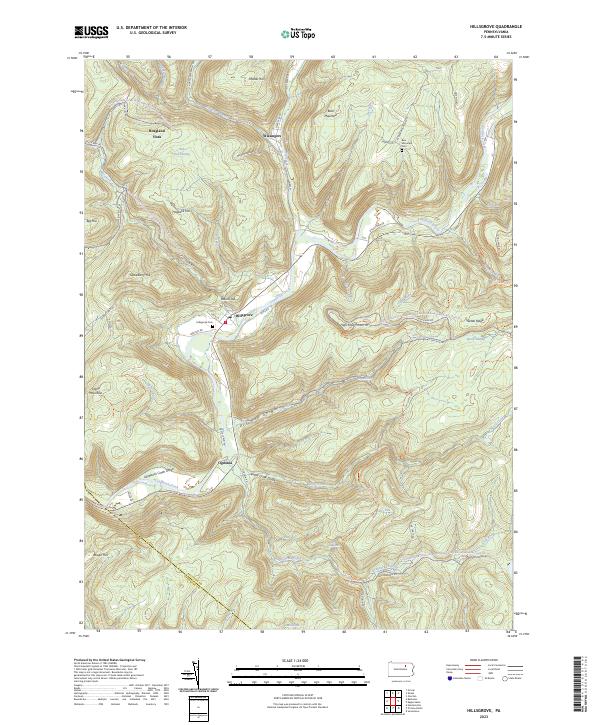 2023 Hillsgrove2023 Print · USGSSullivan County's deep valleys and timbered ridges are captured in this modern survey of the Loyalsock area. Researchers can find family cemeteries and remote settlements such as Hillsgrove, Ogdonia, and the riverfront grounds of Hillsgrove Cem.
 - 2023 Map of Lairdsville, 2023 Print
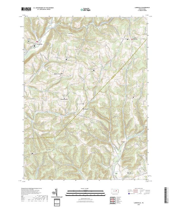 2023 Lairdsville2023 Print · USGSThe rural landscape of Lycoming and Columbia counties is meticulously documented here, showing the settlement patterns of this central Pennsylvania region. Family historians can trace ancestral sites at Germany Lutheran Church Cem, Ritters Crossroads, and the village of Unityville.
 - 2023 Map of Sonestown, 2023 Print
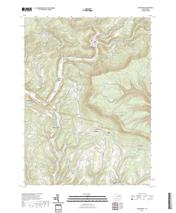 2023 Sonestown2023 Print · USGSSullivan County's high ridges and creek valleys are documented here in the early twenty-first century, showing the enduring rural layout of the region. Researchers can locate family landmarks like the Lungerville Cem and trace the paths through Muncy Valley or along Beaver Lake.
 - 2023 Map of Benton, 2023 Print
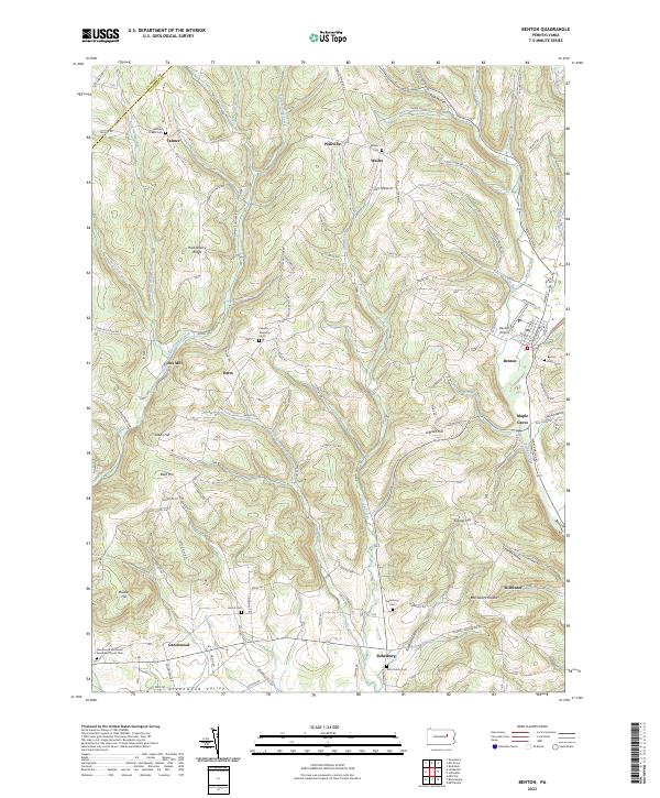 2023 Benton2023 Print · USGSUpper Columbia County settlements and agricultural valleys are captured here in modern detail. Genealogists can trace family landmarks across Greenwood Valley and locate ancestral sites at Rohrsburg Cem or the Wesley Chapel Cem.
 - 2023 Map of Ralston, 2023 Print
 2023 Ralston2023 Print · USGSNorthern Lycoming County settlements follow the path of Lycoming Creek in this contemporary survey of the Pennsylvania mountains. Genealogists can locate numerous burial sites such as Ralston Cem, Mcintyre Cem, and Newelltown Cem.
 - 2023 Map of Barbours, 2023 Print
 2023 Barbours2023 Print · USGSThis Lycoming County high-country landscape shows the deep valleys and ridges of the Loyalsock region in the 2020s. Genealogists and local historians can locate family sites near Barbours, Proctor, and Hoppestown, or trace the old roads leading to Barbours Cem and Coal Mine Hollow.
 - 2023 Map of Bodines, 2023 Print
 2023 Bodines2023 Print · USGSLycoming County, Pennsylvania, is shown here in the 2020s, centered on the creek-side communities of Bodines and Marsh Hill. Genealogists can locate rural burial grounds like Assumption Catholic Cem or trace family landmarks along Pleasant Stream and Wallis Run.
 - 2023 Map of Hughesville, 2023 Print
 2023 Hughesville2023 Print · USGSThe area around Hughesville in the 2020s shows a complex geography of ridges and creek valleys at the convergence of four counties. Genealogists can locate family burial sites at Saint James Cem or Moreland Lutheran Cem and trace old homesteads near Clarkstown.
 - 2023 Map of Elk Grove, 2023 Print
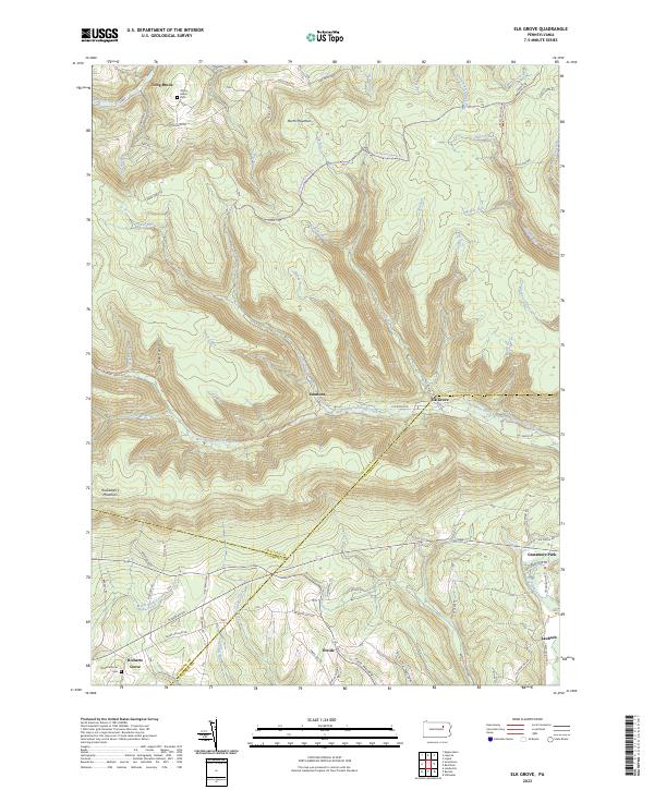 2023 Elk Grove2023 Print · USGSSullivan and Columbia counties meet in this highland region during the early twenty-first century, where the West Branch of Fishing Creek cuts through the plateau. Researchers can trace rural settlement patterns at Elk Grove, Richarts Grove, and Emmons, or locate family sites near York Hollow and Grassmere Park.
 - 2023 Map of Montoursville South, 2023 Print
 2023 Montoursville South2023 Print · USGSLycoming County at the Susquehanna's west branch is seen here in recent years as the urban centers of the north meet the quiet ridges to the south. Genealogists can locate numerous burial sites such as Edgewood Cem and the Washington Presbyterian Church Cem.
 - 2023 Map of Liberty, 2023 Print
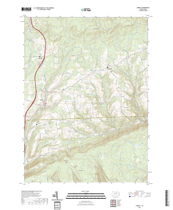 2023 Liberty2023 Print · USGSThe borderlands of Tioga and Lycoming counties remain a rugged rural landscape in the twenty-first century. Genealogists and local researchers can trace family lines through numerous sites like Friedens Lutheran Church Cem, Jew Hill, and the small community of East Point.
 - 2023 Map of Glen Union, 2023 Print
 2023 Glen Union2023 Print · USGSClinton County’s river-carved plateau is shown in modern detail as it remains today, defined by the isolated riverside settlements of Glen Union and Whetham. Genealogists and outdoor historians can trace the paths of Renovo Rd and the Coudersport Pike through the ridges of Hyner Mountain.
 - 2023 Map of Salladasburg, 2023 Print
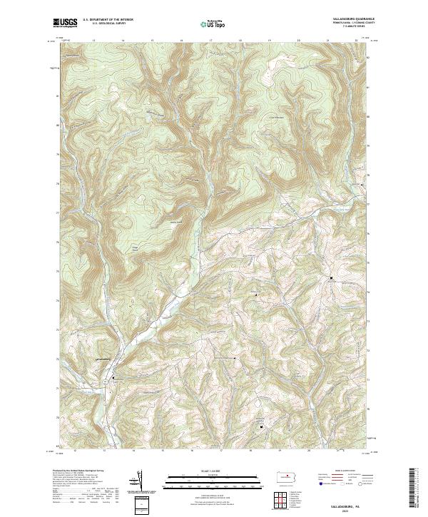 2023 Salladasburg2023 Print · USGSSalladasburg sits at the meeting of the forks of Larrys Creek in the early twenty-first century. Genealogists can find several family and church burial grounds, including Saint Johns Chapel Cemetery, State Road Cemetery, and the Salladasburg Cemetery.
 - 2023 Map of Nauvoo, 2023 Print
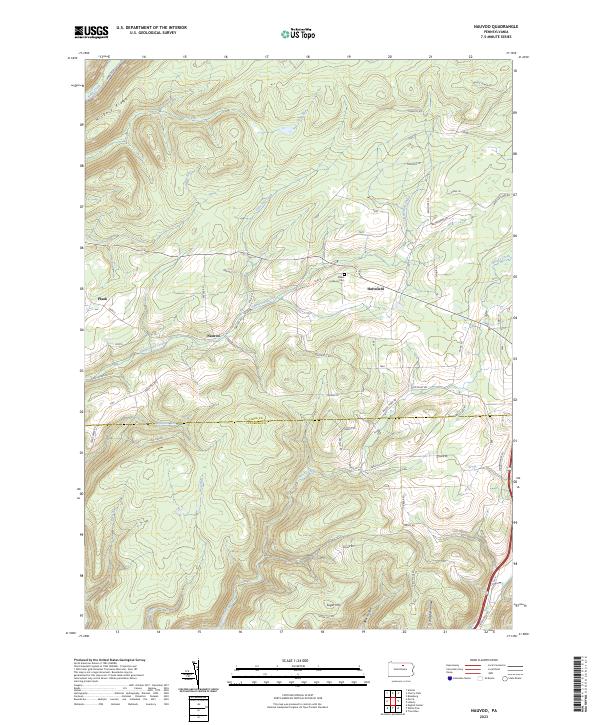 2023 Nauvoo2023 Print · USGSSettlements in the Tioga and Lycoming county borderlands are shown here in modern detail, illustrating a landscape of high ridges and deep hollows. Researchers can trace family sites near Nauvoo, locate the Salem Lutheran Cem, and follow the drainages of Zimmerman Creek and Blacks Creek.
 - 2023 Map of Slate Run, 2023 Print
 2023 Slate Run2023 Print · USGSLycoming and Potter counties are shown here in the 2020s, centered on the historic village of Slate Run. Researchers can trace old timber-era footprints along the Pine Creek Rail Trl and locate local family sites at the Slate Run Methodist Cem or Slate Run Baptist Cem.
 - 2023 Map of Linden, 2023 Print
 2023 Linden2023 Print · USGSThe river valleys of Lycoming County are captured here in modern detail as they transition from the Susquehanna banks to the southern ridges. Researchers can trace rural lineages through the Sanders Family Plot, explore the community of Antes Fort, and locate the Saint Peter's Lutheran Church Cem.
 - 2023 Map of English Center, 2023 Print
 2023 English Center2023 Print · USGSLittle Pine Creek flows through this Lycoming County valley, where the small communities of English Center and Carsontown remain nestled in the hills. Researchers can locate several burial grounds including English Center Cem and Hill Cem while tracing names like Stahlneckers Pond.
 - 2023 Map of Waterville, 2023 Print
 2023 Waterville2023 Print · USGSLycoming County at the head of the Pine Creek Gorge shows a landscape defined by its deep valleys and historic river settlements. Trace family roots at Mount Pleasant Cem or follow the Pine Creek Rail Trl through Waterville and Ramsey.
 - 2023 Map of Cedar Run, 2023 Print
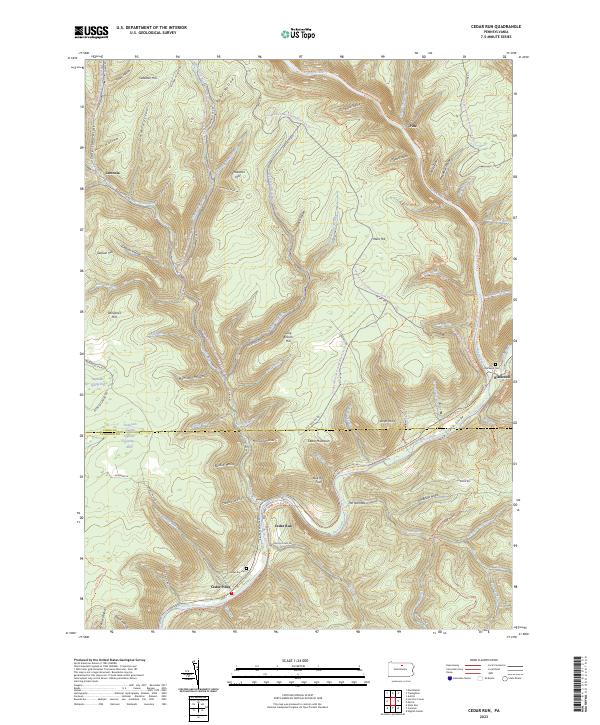 2023 Cedar Run2023 Print · USGSTioga and Lycoming Counties are shown here in the 2020s, centered on the dramatic incision of the Pine Creek Gorge. Modern researchers can trace the historic village sites of Cedar Run and Leetonia alongside the expansive Pine Creek Rail Trl.
 - 2023 Map of Morris, 2023 Print
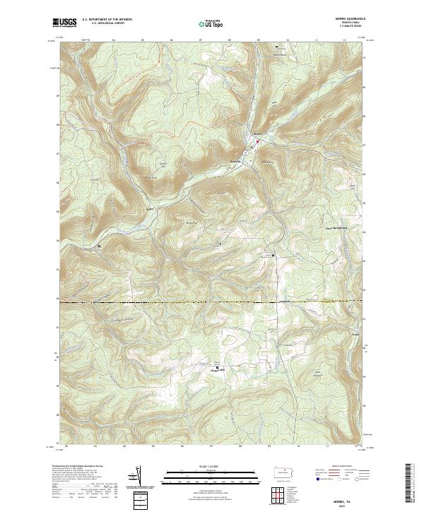 2023 Morris2023 Print · USGSTioga County highlands meet the Lycoming border in the early 2020s, showing the enduring valley settlements along Babb Creek. Genealogists can trace family footprints at Antrim Cem, Mount Pleasant Cem, and the historic crossroads of Oregon Hill.
 - 2023 Map of Jersey Mills, 2023 Print
 2023 Jersey Mills2023 Print · USGSLycoming and Clinton counties are mapped here in the early twenty-first century, showing a landscape defined by Pine Creek and its surrounding ridges. Researchers can locate family landmarks like the Haneyville Cem and trace the historic Coudersport Pike across the high plateau.
 - 2023 Map of Lee Fire Tower, 2023 Print
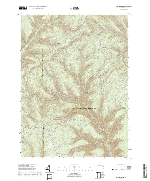 2023 Lee Fire Tower2023 Print · USGSNorthern Pennsylvania’s high forest country is captured here where three counties meet. Trace historic industrial paths through Gas Well Hollow, follow the winding Slate Run Rd, or locate the remote crossing at Francis-Leetonia.
 - 2023 Map of Montoursville North, 2023 Print
 2023 Montoursville North2023 Print · USGSNorth of Williamsport in the 2020s, the terrain rises into the high ridges of the Allegheny Plateau. Genealogists can locate several family burial sites including the Scott Family Graveyard and Quaker Hill Cem near Loyalsockville.
 - 2023 Map of Muncy, 2023 Print
 2023 Muncy2023 Print · USGSTracing the West Branch Susquehanna River through Lycoming County, this survey shows the regional hubs of Muncy and Montgomery in the early twenty-first century. Researchers can locate numerous historic burial sites such as Hill Burial Grounds and the Friends Meeting House in Pennsdale.
Showing maps 1-25 of 37
Top cities of Lycoming County
- Williamsport historical maps
- South Williamsport historical maps
- Montoursville historical maps
- Jersey Shore historical maps
- Montgomery historical maps
- Duboistown historical maps
See more
Frequently asked questions
- What are the different types of historical maps available for Lycoming County?
- What is the oldest map of Lycoming County?
- Where can I purchase historical maps of Lycoming County for my home or office?
- Where can I download high-res historical maps of Lycoming County?
- Are there historical topographic maps available for Lycoming County?
- Is there historical aerial imagery available for Lycoming County?
- Where are historical maps of Lycoming County sourced from?