2000s (21st Century) Maps of Corydon Township, Pennsylvania
Explore 20 historic maps of Corydon Township from the 2000s (21st Century). These maps offer a rare glimpse into what life looked like during the 2000s — showing old roads, neighborhoods, homes, and landmarks that have changed or disappeared over time.
Whether you're researching your family's past, planning a metal detecting trip, or studying how Corydon Township's landscape evolved across the 2000s, these high-resolution maps are a powerful tool for exploring the history of this region.
- Focus on a specific era: All maps on this page are from the 2000s, giving you a focused view of this time period.
- See what’s changed: Compare century-old streets, trails, and buildings to today's modern landscape using overlays and satellite layers.
- Research with precision: Use these maps for genealogy, historical research, land use analysis, or educational projects.
- View, download, or print: Maps are fully viewable online in high resolution, and can be downloaded or printed for your own records.
Start exploring Corydon Township's history through authentic maps from the 2000s. This is your window into the past.
Corydon Township, PA maps
(20)- 2011 Map of Cornplanter Bridge, 2011 Print
 2011 Cornplanter Bridge2011 Print · USGSCovers Corydon Township, including Sheffield Township, Glade Township, and other nearby areas
 - 2011 Map of Westline, 2011 Print
 2011 Westline2011 Print · USGSCovers Corydon Township, including Lafayette Township, Westline, and other nearby areas
 - 2011 Map of Cornplanter Run, 2011 Print
 2011 Cornplanter Run2011 Print · USGSCovers Corydon Township, including Coldspring, South Valley, and other nearby areas
 - 2011 Map of Stickney, 2011 Print
 2011 Stickney2011 Print · USGSCovers Corydon Township, including Lafayette Township, Coldspring, and other nearby areas
 - 2013 Map of Stickney, 2013 Print
 2013 Stickney2013 Print · USGSCovers Corydon Township, including Lafayette Township, Coldspring, and other nearby areas
 - 2013 Map of Westline, 2013 Print
 2013 Westline2013 Print · USGSCovers Corydon Township, including Lafayette Township, Westline, and other nearby areas
 - 2013 Map of Cornplanter Run, 2013 Print
 2013 Cornplanter Run2013 Print · USGSCovers Corydon Township, including Coldspring, South Valley, and other nearby areas
 - 2013 Map of Cornplanter Bridge, 2013 Print
 2013 Cornplanter Bridge2013 Print · USGSCovers Corydon Township, including Sheffield Township, Glade Township, and other nearby areas
 - 2016 Map of Stickney, 2016 Print
 2016 Stickney2016 Print · USGSCovers Corydon Township, including Lafayette Township, Coldspring, and other nearby areas
 - 2016 Map of Cornplanter Run, 2016 Print
 2016 Cornplanter Run2016 Print · USGSCovers Corydon Township, including Coldspring, South Valley, and other nearby areas
 - 2016 Map of Cornplanter Bridge, 2016 Print
 2016 Cornplanter Bridge2016 Print · USGSCovers Corydon Township, including Sheffield Township, Glade Township, and other nearby areas
 - 2016 Map of Westline, 2016 Print
 2016 Westline2016 Print · USGSCovers Corydon Township, including Lafayette Township, Westline, and other nearby areas
 - 2019 Map of Stickney, 2019 Print
 2019 Stickney2019 Print · USGSCovers Corydon Township, including Lafayette Township, Coldspring, and other nearby areas
 - 2019 Map of Cornplanter Run, 2019 Print
 2019 Cornplanter Run2019 Print · USGSCovers Corydon Township, including Coldspring, South Valley, and other nearby areas
 - 2019 Map of Cornplanter Bridge, 2019 Print
 2019 Cornplanter Bridge2019 Print · USGSCovers Corydon Township, including Sheffield Township, Glade Township, and other nearby areas
 - 2019 Map of Westline, 2019 Print
 2019 Westline2019 Print · USGSCovers Corydon Township, including Lafayette Township, Westline, and other nearby areas
 - 2023 Map of Westline, 2023 Print
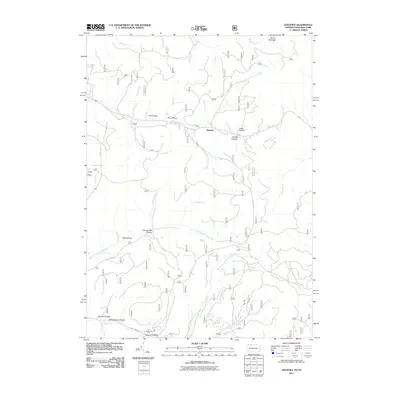
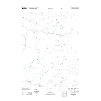
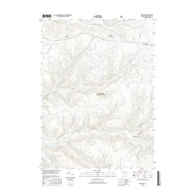
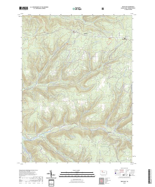 2023 Westline2023 Print · USGSMcKean County's highland forests and winding creek valleys are documented here in the early twenty-first century. Researchers can locate the mountain settlement of Westline, the Marshburg Cem, and the path of the North Country National Scenic Trl.
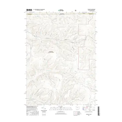
 - 2023 Map of Stickney, 2023 Print
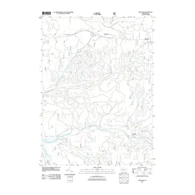
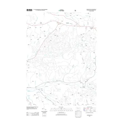
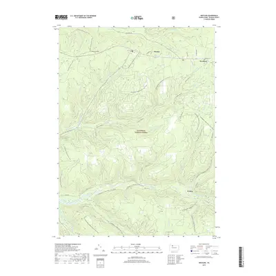
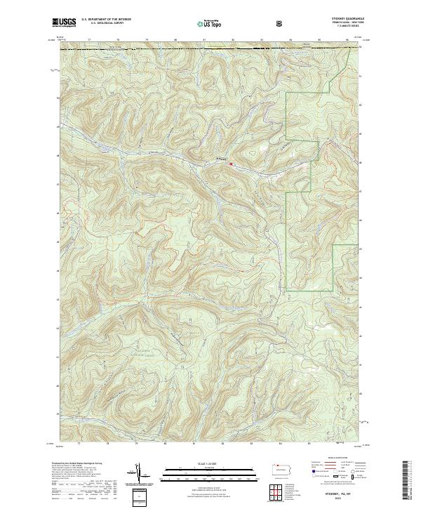 2023 Stickney2023 Print · USGSMcKean County at the turn of the twenty-first century reveals a landscape shaped by timber and forest recreation along the New York border. Trace old landmarks like Schoolhouse Hollow and Shingle Mill Hollow near the hamlet of Stickney.
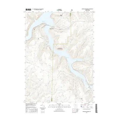
 - 2023 Map of Cornplanter Run, 2023 Print
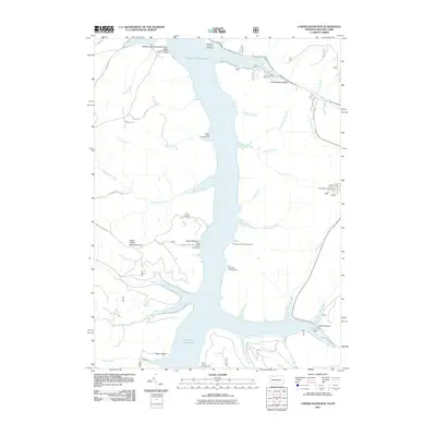
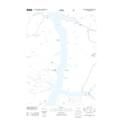
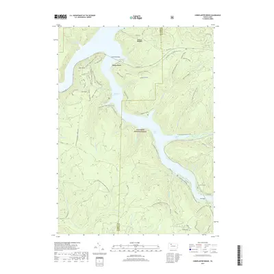
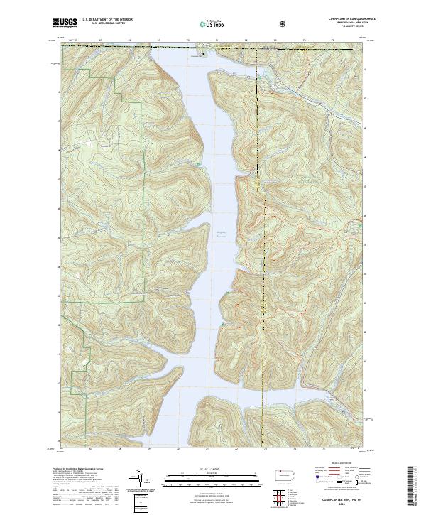 2023 Cornplanter Run2023 Print · USGSThe Allegheny National Forest meets the New York border in the 2020s, showing a landscape defined by the Allegheny Reservoir. Researchers can trace old routes like Cornplanter Road or find family landmarks at Riverview Cemetery and Roper Hollow.
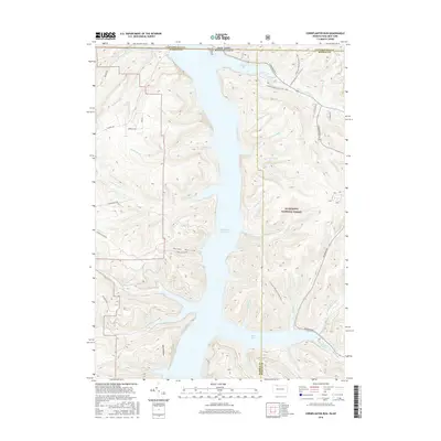
 - 2023 Map of Cornplanter Bridge, 2023 Print
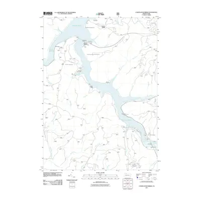
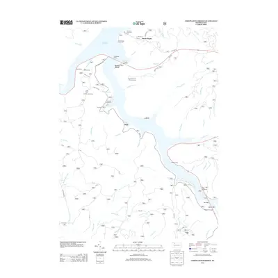
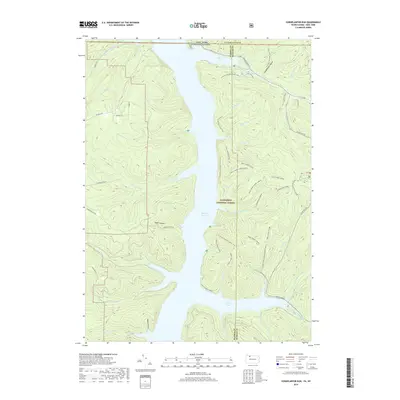
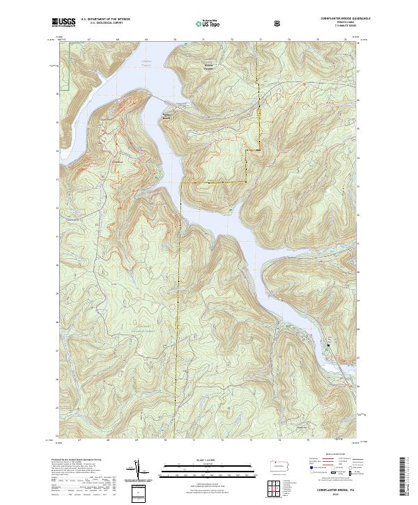 2023 Cornplanter Bridge2023 Print · USGSThe Allegheny National Forest meets the McKean County line in the early twenty-first century, centered on the massive Allegheny Reservoir. Researchers can trace old mountain roads and find local sites like Lone Pine Cem, Kinzua Heights, and Jakes Rocks.
End of results
Showing maps 1-20 of 20
Top cities near Corydon Township
- Bradford historical maps
- Salamanca historical maps
- Carroll historical maps
- Randolph historical maps
- Lafayette Township historical maps
- Sheffield Township historical maps
See more
Top neighborhoods of Corydon Township
Frequently asked questions
- What are the different types of historical maps available for Corydon Township?
- What is the oldest map of Corydon Township?
- Where can I purchase historical maps of Corydon Township for my home or office?
- Where can I download high-res historical maps of Corydon Township?
- Are there historical topographic maps available for Corydon Township?
- Is there historical aerial imagery available for Corydon Township?
- Where are historical maps of Corydon Township sourced from?