2010s Maps of Wetmore Township, Pennsylvania
Explore 28 historic maps of Wetmore Township from the 2010s. These maps offer a rare glimpse into what life looked like during the 2010s — showing old roads, neighborhoods, homes, and landmarks that have changed or disappeared over time.
Whether you're researching your family's past, planning a metal detecting trip, or studying how Wetmore Township's landscape evolved across the 2010s, these high-resolution maps are a powerful tool for exploring the history of this region.
- Focus on a specific era: All maps on this page are from the 2010s, giving you a focused view of this time period.
- See what’s changed: Compare century-old streets, trails, and buildings to today's modern landscape using overlays and satellite layers.
- Research with precision: Use these maps for genealogy, historical research, land use analysis, or educational projects.
- View, download, or print: Maps are fully viewable online in high resolution, and can be downloaded or printed for your own records.
Start exploring Wetmore Township's history through authentic maps from the 2010s. This is your window into the past.
Wetmore Township, PA maps
(28)- 2011 Map of Kane, 2011 Print
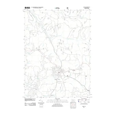 2011 Kane2011 Print · USGSThe plateau of McKean County comes into focus in this recent survey, centered on the historic crossroads of Kane. Researchers can trace old neighborhood lines and locate sites like Saint Callistus Cemetery, Mountain Grange, and the settlement of Jo Jo.
 - 2011 Map of James City, 2011 Print
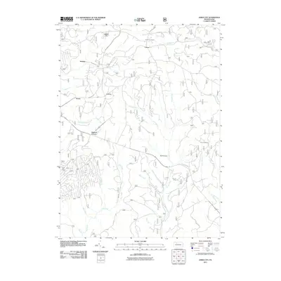 2011 James City2011 Print · USGSElk County at the start of the twenty-first century reveals a landscape of forest hamlets and winding waterways. Genealogists and researchers can locate family landmarks in James City and Highland Corners, or trace the remote Hanley Fire Tower.
 - 2011 Map of Westline, 2011 Print
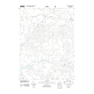 2011 Westline2011 Print · USGSThe Allegheny Plateau near Westline and Marshburg is shown in detail during the early 21st century. Researchers can trace the complex drainage of Kinzua Creek and Chappel Fork alongside forest roads leading to Klondike and Paines Summit.
 - 2011 Map of Wilcox, 2011 Print
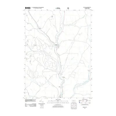 2011 Wilcox2011 Print · USGSElk County's river valleys and energy fields are documented here in the early twenty-first century as industry and recreation meet. Researchers can trace the layout of Wilcox, locate the Wardville Cemetery, and explore the reaches of the Nansen Oil and Gas Field.
 - 2011 Map of Russell City, 2011 Print
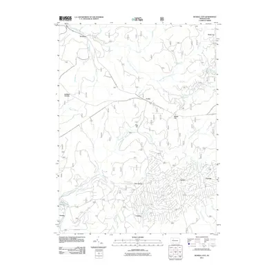 2011 Russell City2011 Print · USGSThe northern Pennsylvania woodlands are documented here during the early twenty-first century, showing a network of forest settlements and camps. Researchers can trace the layout of Russell City, Brookston, and the uniquely named Pigs Ear among numerous creek branches.
 - 2011 Map of Ludlow, 2011 Print
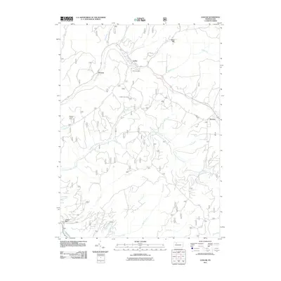 2011 Ludlow2011 Print · USGSThe timber and creek lands of Warren County are captured here in the early twenty-first century as the region maintains its forest heritage. Researchers can locate the Moriah Cemetery and trace the paths of East Branch Tionesta Creek through Ludlow and Wetmore.
 - 2011 Map of Mount Jewett, 2011 Print
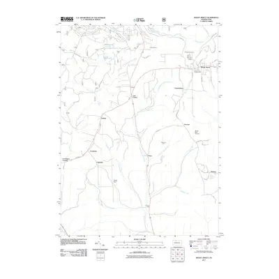 2011 Mount Jewett2011 Print · USGSMcKean County's high plateau is captured here in the early twenty-first century, showing the intersection of industry and rural settlement. Researchers can trace the legacy of the oil and gas fields near Burning Well, Halsey, and the quiet Bridge View Cemetery.
 - 2013 Map of Westline, 2013 Print
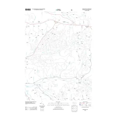 2013 Westline2013 Print · USGSIn this 2013 survey of McKean County, the rugged forest landscape of the Allegheny Plateau is captured in intricate detail. Genealogists and hikers can trace the winding roads and mountain streams surrounding Westline, Marshburg, and the heights of Paines Summit.
 - 2013 Map of James City, 2013 Print
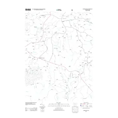 2013 James City2013 Print · USGSHighland Township and the surrounding timberlands are documented in the early twenty-first century as a network of camps and rural settlements. Genealogists and researchers can trace local routes like SACKETT RD to find landmarks such as the Hanley Fire Tower or the camps at Silver Creek Camp and Ben Hur Camp.
 - 2013 Map of Russell City, 2013 Print
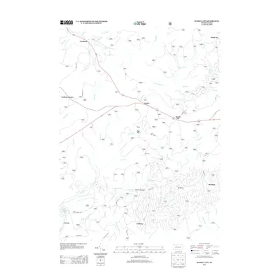 2013 Russell City2013 Print · USGSNorthwestern Pennsylvania forest lands appear in high detail in the early 2010s, showing a landscape of small settlements and logging history. Researchers can trace rural routes to Russell City, Pigs Ear, and Brookston along the S Br Tionesta Cr.
 - 2013 Map of Wilcox, 2013 Print
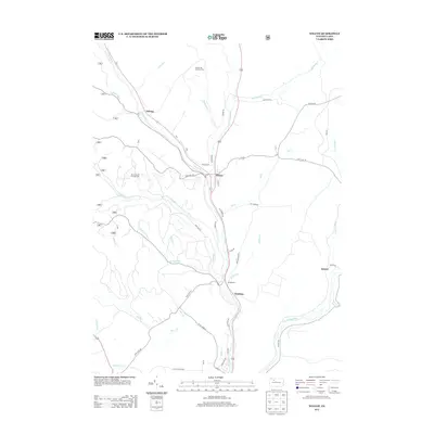 2013 Wilcox2013 Print · USGSElk County at the start of the 2010s shows a landscape deeply tied to its river valleys and energy resources. Local historians can trace the footprints of Wilcox, Dahoga, and the expansive Nansen Oil and Gas Field along the winding W Br Clarion River.
 - 2013 Map of Kane, 2013 Print
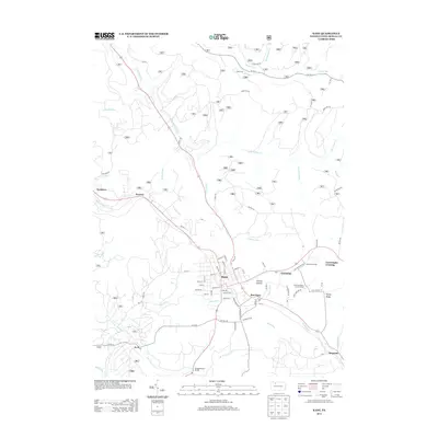 2013 Kane2013 Print · USGSThe borough of Kane and its surrounding McKean County highlands are captured here in the early twenty-first century. Researchers can trace local history through sites like the Free Methodist Church Camp, the Mountain Grange, and old settlements like Jo Jo and Preston.
 - 2013 Map of Mount Jewett, 2013 Print
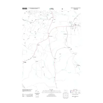 2013 Mount Jewett2013 Print · USGSMcKean County's industrial and forest heritage is on full display here in the early twenty-first century. Researchers can trace the layout of energy infrastructure and local settlements from Mount Jewett down to the Burning Well Oil Field and the crossroads at Lantz Corners.
 - 2013 Map of Ludlow, 2013 Print
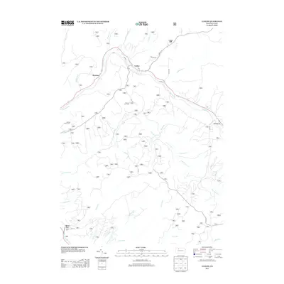 2013 Ludlow2013 Print · USGSThe northern Pennsylvania highlands near Ludlow appear in this recent survey of Warren County's deep woods and valley settlements. Researchers can trace historic access points like Olmsted Rd or locate rural landmarks including the Sheffield Lookout Tower and Hoffman Farm Camp.
 - 2016 Map of James City, 2016 Print
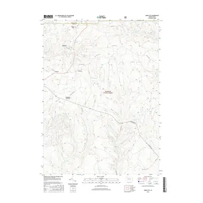 2016 James City2016 Print · USGSElk and McKean counties are captured here during a period of modern forestry and rural residency. Genealogists and hikers can trace the roads connecting James City, Highland Corners, and McKinley through the Allegheny National Forest.
 - 2016 Map of Kane, 2016 Print
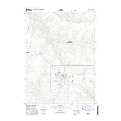 2016 Kane2016 Print · USGSMcKean County's highland forests are shown here during the mid-2010s, centered on the settled core of the borough of Kane. Researchers can locate family roots at Forest Lawn Cemetery or trace the routes of old logging hamlets like Jo Jo and Sergeant.
 - 2016 Map of Mount Jewett, 2016 Print
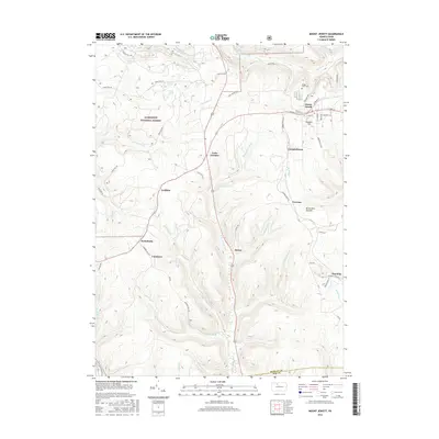 2016 Mount Jewett2016 Print · USGSMount Jewett and the surrounding Pennsylvania highlands are shown here in the mid-2010s as a landscape defined by timber and terrain. Researchers can trace family sites near Bridge View Cem and explore the historic footprints of Coontown, Halsey, and Hutchins.
 - 2016 Map of Ludlow, 2016 Print
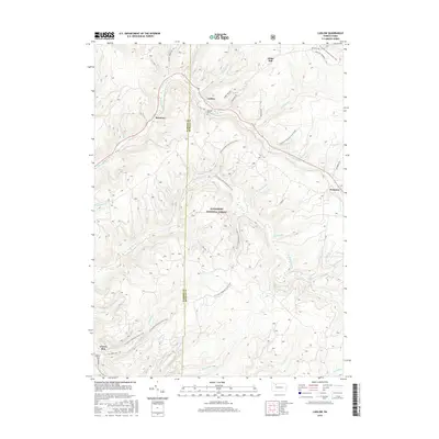 2016 Ludlow2016 Print · USGSThe northern Pennsylvania highlands appear in fine detail here as the twenty-first century began. Researchers can trace family sites at Moriah Cem, explore the early footprints of Ludlow and Roystone, and follow the N Country National Scenic Trail.
 - 2016 Map of Westline, 2016 Print
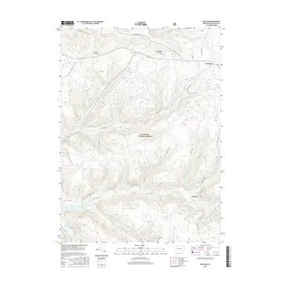 2016 Westline2016 Print · USGSCovers Wetmore Township, including Lafayette Township, Westline, and other nearby areas
 - 2016 Map of Wilcox, 2016 Print
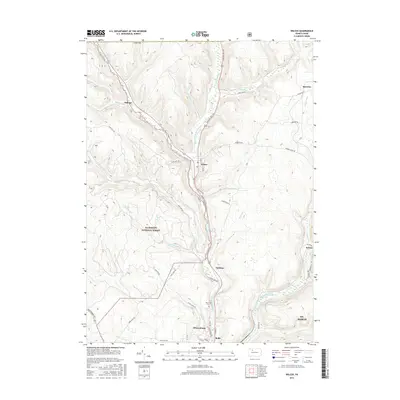 2016 Wilcox2016 Print · USGSElk County’s river valleys and the Allegheny National Forest are shown here as they appeared in the mid-2010s. Local researchers can trace family landmarks and small communities from Wilcox and Johnsonburg to the Wardville Cemetery and Dahoga.
 - 2016 Map of Russell City, 2016 Print
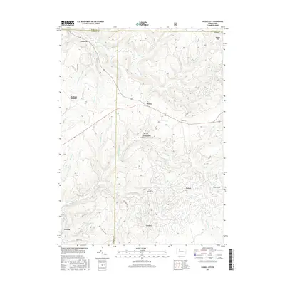 2016 Russell City2016 Print · USGSThe Pennsylvania backcountry within the Allegheny National Forest is mapped here during the mid-2010s. Researchers can locate remote settlements and crossroads like Pigs Ear, Brookston, and Windy City while tracing the winding headwaters of Bogus Run.
 - 2019 Map of James City, 2019 Print
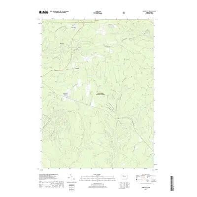 2019 James City2019 Print · USGSElk County's high forest plateaus are captured here in the late 2010s, showing the intersection of small township settlements and federal land. Researchers can locate the Highland Cem and trace recreation routes through James City or along Big Mill Cr.
 - 2019 Map of Russell City, 2019 Print
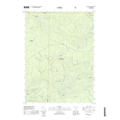 2019 Russell City2019 Print · USGSThe deep woods of the northern Alleghenies are revealed in this recent survey, showing the overlap of four Pennsylvania counties. Researchers can trace historic forest settlements like Brookston, Sheffield Junction, and the uniquely named Pigs Ear alongside the Brookston Cem.
 - 2019 Map of Wilcox, 2019 Print
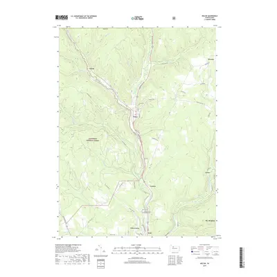 2019 Wilcox2019 Print · USGSElk County's high forest plateaus and river valleys are shown in detail as they appeared in the late 2010s. Researchers can locate family sites and local landmarks like Wilcox Cem or trace the early paths of Burning Well Rd and the Johnsonburg railroad line.
 - 2019 Map of Ludlow, 2019 Print
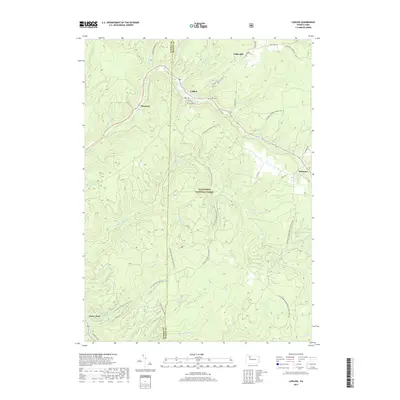 2019 Ludlow2019 Print · USGSThe Warren and McKean county line bisects this timbered region of the Allegheny National Forest as it appeared in the late 2010s. Modern hikers and genealogists can trace the N Country National Scenic Trail past historic sites like Moriah Cem and the settlement of Ludlow.
Showing maps 1-25 of 28
Top cities near Wetmore Township
- Saint Marys historical maps
- Kane historical maps
- Johnsonburg historical maps
- Lafayette Township historical maps
- Sheffield Township historical maps
- Wetmore historical maps
See more
Top neighborhoods of Wetmore Township
- Kanesholm historical maps
- Jo Jo historical maps
- Cartwrights Crossing historical maps
- East Kane historical maps
- Greendale historical maps
- Coontown historical maps
See more
Frequently asked questions
- What are the different types of historical maps available for Wetmore Township?
- What is the oldest map of Wetmore Township?
- Where can I purchase historical maps of Wetmore Township for my home or office?
- Where can I download high-res historical maps of Wetmore Township?
- Are there historical topographic maps available for Wetmore Township?
- Is there historical aerial imagery available for Wetmore Township?
- Where are historical maps of Wetmore Township sourced from?