2000s (21st Century) Maps of Mercer County, Pennsylvania
Explore 23 historic maps of Mercer County from the 2000s (21st Century). These maps offer a rare glimpse into what life looked like during the 2000s — showing old roads, neighborhoods, homes, and landmarks that have changed or disappeared over time.
Whether you're researching your family's past, planning a metal detecting trip, or studying how Mercer County's landscape evolved across the 2000s, these high-resolution maps are a powerful tool for exploring the history of this region.
- Focus on a specific era: All maps on this page are from the 2000s, giving you a focused view of this time period.
- See what’s changed: Compare century-old streets, trails, and buildings to today's modern landscape using overlays and satellite layers.
- Research with precision: Use these maps for genealogy, historical research, land use analysis, or educational projects.
- View, download, or print: Maps are fully viewable online in high resolution, and can be downloaded or printed for your own records.
Start exploring Mercer County's history through authentic maps from the 2000s. This is your window into the past.
Mercer County, PA maps
(23)- 2023 Map of Sharpsville, 2023 Print
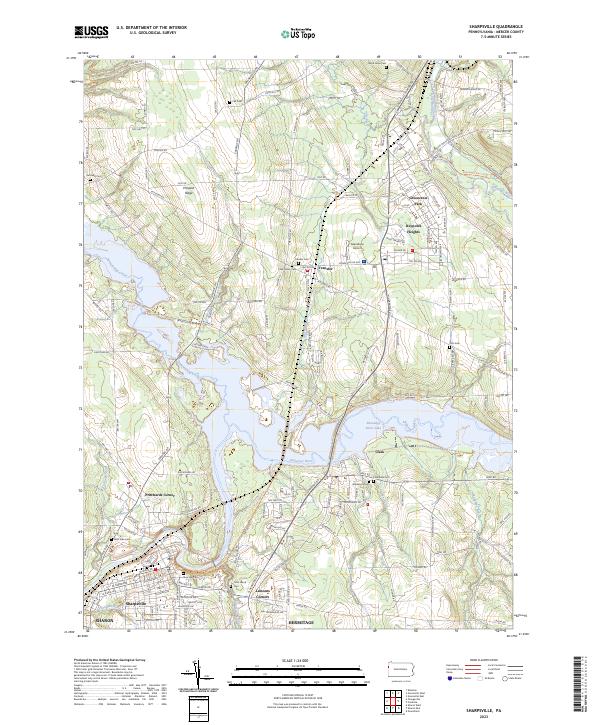 2023 Sharpsville2023 Print · USGSCovers Mercer County, including Hermitage, Sharon, and other nearby areas
 - 2023 Map of New Castle North, 2023 Print
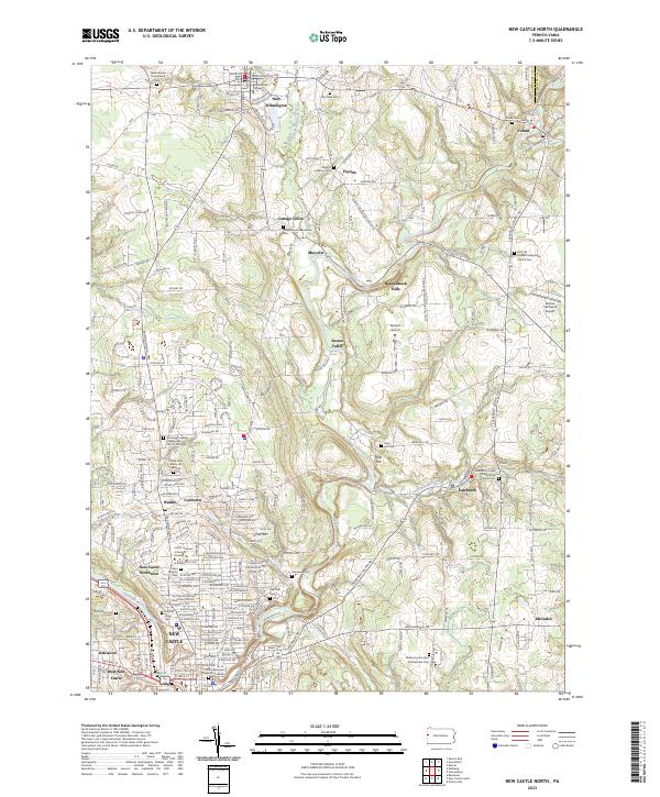 2023 New Castle North2023 Print · USGSCovers Mercer County, including New Castle, New Wilmington, and other nearby areas
 - 2023 Map of Edinburg, 2023 Print
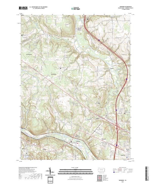 2023 Edinburg2023 Print · USGSCovers Mercer County, including Pulaski Township, Frizzleburg, and other nearby areas
 - 2023 Map of Slippery Rock, 2023 Print
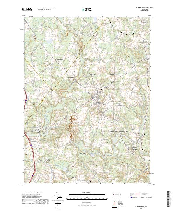 2023 Slippery Rock2023 Print · USGSCovers Mercer County, including Slippery Rock, Plain Grove Township, and other nearby areas
 - 2023 Map of Sharon West, 2023 Print
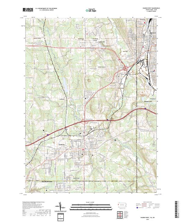 2023 Sharon West2023 Print · USGSCovers Mercer County, including Youngstown, Hermitage, and other nearby areas
 - 2023 Map of Greenville West, 2023 Print
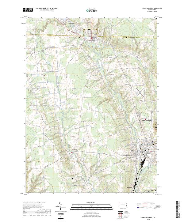 2023 Greenville West2023 Print · USGSCovers Mercer County, including Greenville, Shenango, and other nearby areas
 - 2023 Map of Greenville East, 2023 Print
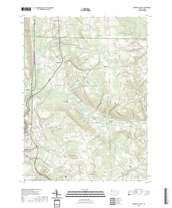 2023 Greenville East2023 Print · USGSCovers Mercer County, including Salem, Greenwood Township, and other nearby areas
 - 2023 Map of Sandy Lake, 2023 Print
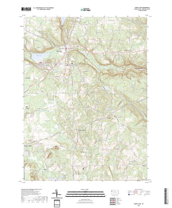 2023 Sandy Lake2023 Print · USGSCovers Mercer County, including Sandy Lake, New Vernon Township, and other nearby areas
 - 2023 Map of Jackson Center, 2023 Print
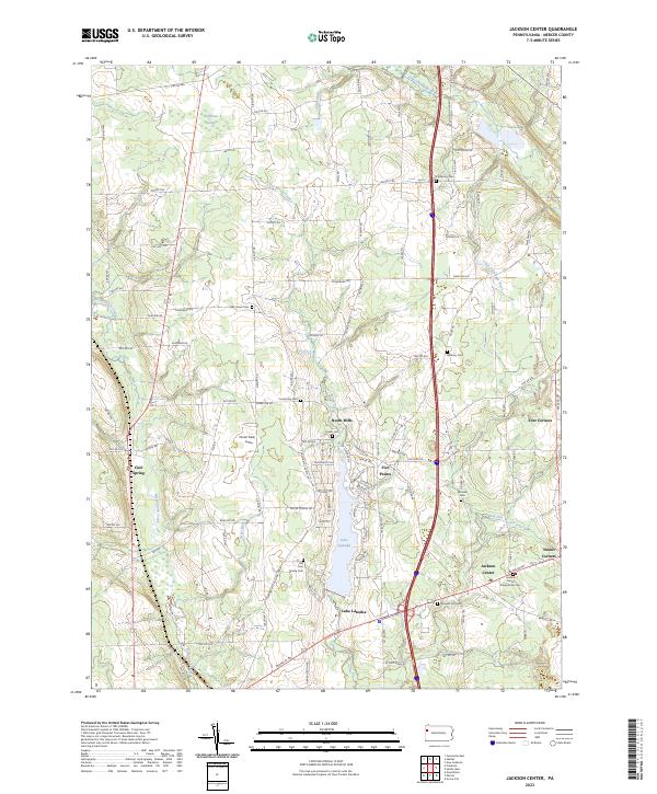 2023 Jackson Center2023 Print · USGSCovers Mercer County, including Fairview Township, New Vernon Township, and other nearby areas
 - 2023 Map of Greenfield, 2023 Print
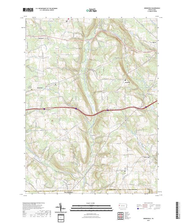 2023 Greenfield2023 Print · USGSCovers Mercer County, including New Wilmington, Springfield Township, and other nearby areas
 - 2023 Map of Mercer, 2023 Print
 2023 Mercer2023 Print · USGSCovers Mercer County, including Mercer, Springfield Township, and other nearby areas
 - 2023 Map of Hadley, 2023 Print
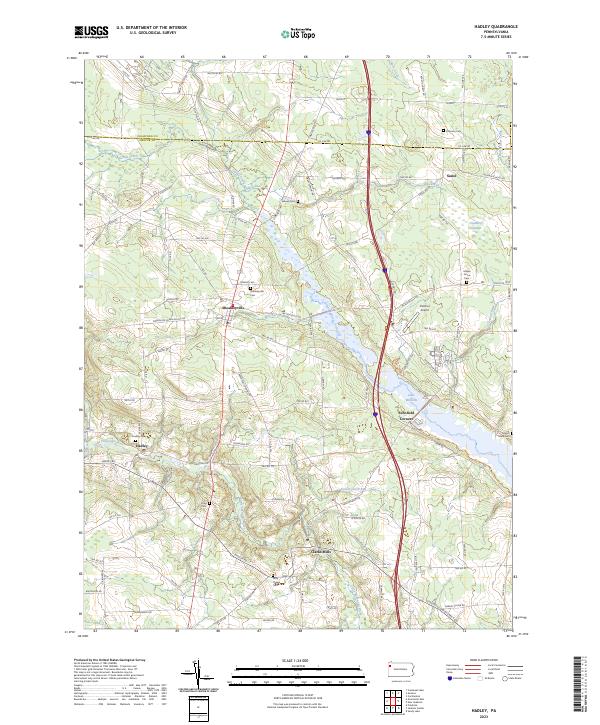 2023 Hadley2023 Print · USGSCovers Mercer County, including New Vernon Township, Sheakleyville, and other nearby areas
 - 2023 Map of Fredonia, 2023 Print
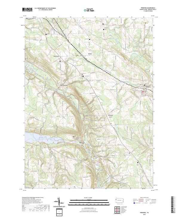 2023 Fredonia2023 Print · USGSCovers Mercer County, including Fairview Township, Fredonia, and other nearby areas
 - 2023 Map of New Lebanon, 2023 Print
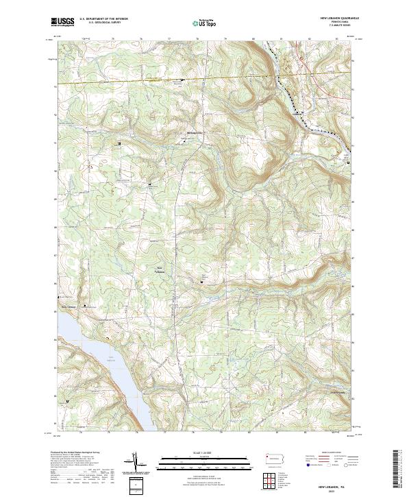 2023 New Lebanon2023 Print · USGSCovers Mercer County, including New Vernon Township, New Lebanon, and other nearby areas
 - 2023 Map of Sharon East, 2023 Print
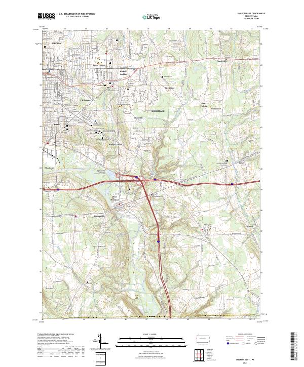 2023 Sharon East2023 Print · USGSCovers Mercer County, including Hermitage, Sharon, and other nearby areas
 - 2023 Map of Grove City, 2023 Print
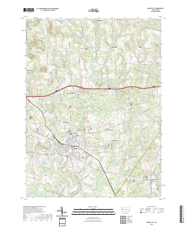 2023 Grove City2023 Print · USGSCovers Mercer County, including Grove City, Harrisville, and other nearby areas
 - 2023 Map of Harlansburg, 2023 Print
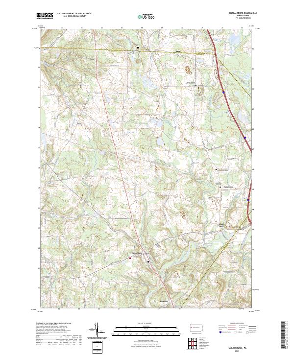 2023 Harlansburg2023 Print · USGSCovers Mercer County, including Plain Grove Township, Springfield Township, and other nearby areas
 - 2023 Map of Polk, 2023 Print
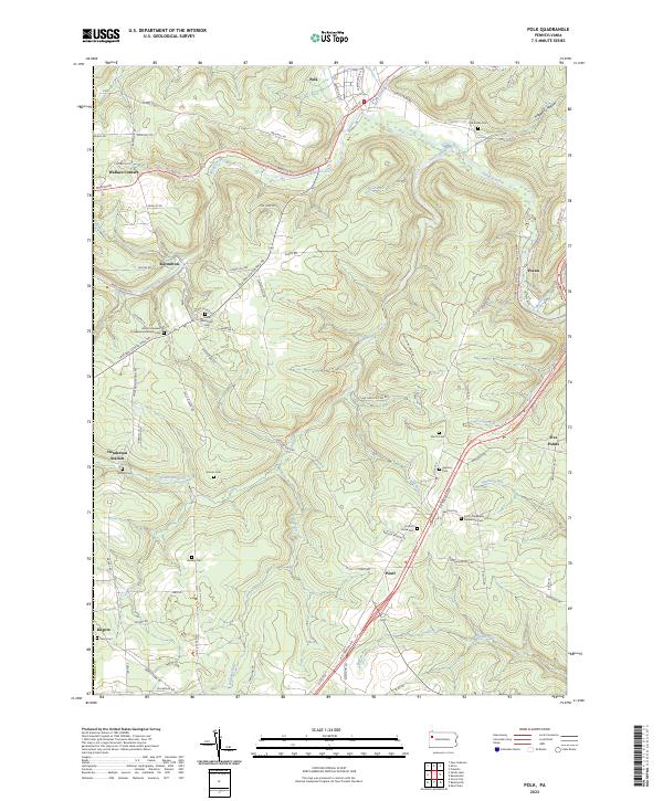 2023 Polk2023 Print · USGSCovers Mercer County, including Polk, Sandycreek Township, and other nearby areas
 - 2023 Map of Barkeyville, 2023 Print
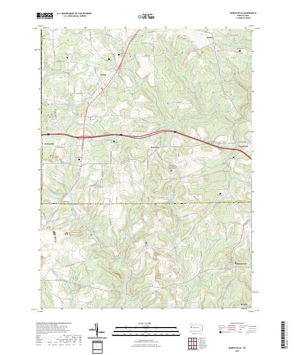 2023 Barkeyville2023 Print · USGSCovers Mercer County, including Barkeyville, Irwin Township, and other nearby areas
 - 2023 Map of Utica, 2023 Print
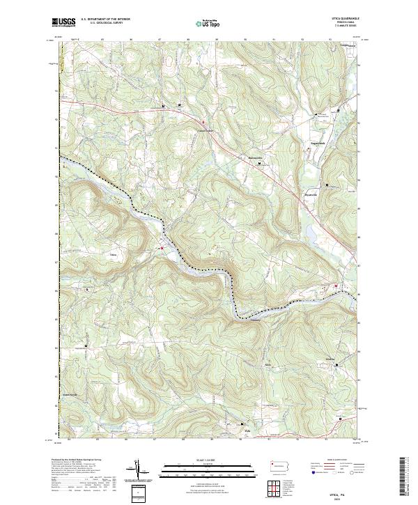 2023 Utica2023 Print · USGSCovers Mercer County, including Sugarcreek, Polk, and other nearby areas
 - 2023 Map of Orangeville, 2023 Print
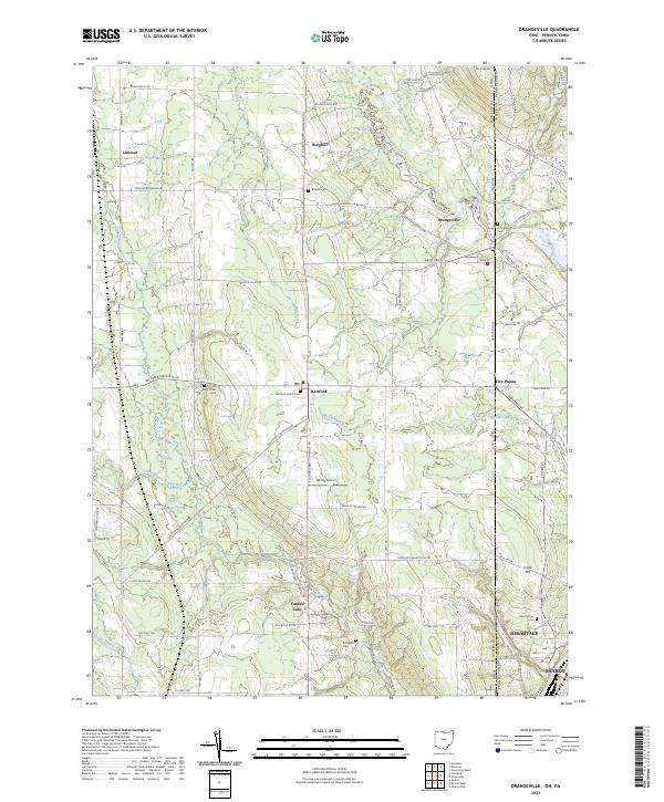 2023 Orangeville2023 Print · USGSCovers Mercer County, including Hermitage, Sharon, and other nearby areas
 - 2023 Map of Campbell, 2023 Print
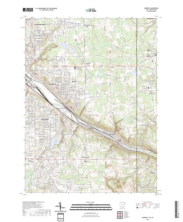 2023 Campbell2023 Print · USGSCovers Mercer County, including Youngstown, Struthers, and other nearby areas
 - 2023 Map of Kinsman, 2023 Print
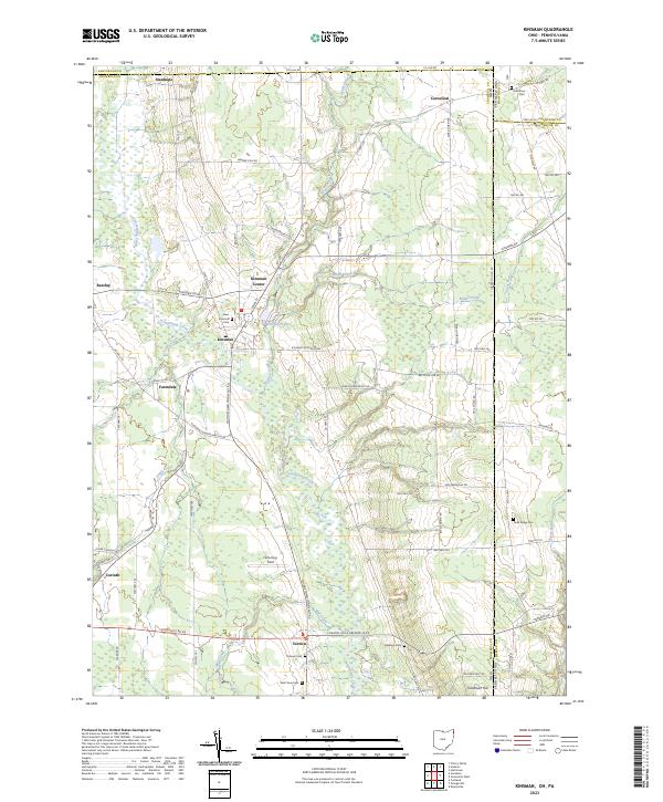 2023 Kinsman2023 Print · USGSCovers Mercer County, including Kinsman Township, Kinsman, and other nearby areas
End of results
Showing maps 1-23 of 23
Top cities of Mercer County
- Hermitage historical maps
- Sharon historical maps
- Grove City historical maps
- Farrell historical maps
- Greenville historical maps
- Sharpsville historical maps
See more
Frequently asked questions
- What are the different types of historical maps available for Mercer County?
- What is the oldest map of Mercer County?
- Where can I purchase historical maps of Mercer County for my home or office?
- Where can I download high-res historical maps of Mercer County?
- Are there historical topographic maps available for Mercer County?
- Is there historical aerial imagery available for Mercer County?
- Where are historical maps of Mercer County sourced from?