Old Maps of Fairview Township, Pennsylvania for Genealogy
Trace your family roots with 20 historic maps of Fairview Township. These high-res maps reveal old neighborhoods, homesites, landmarks, and streets — helping you uncover where your ancestors lived and how the area evolved over time.
- Explore historic neighborhoods: Identify where your relatives may have lived in the 1800s or 1900s.
- Compare maps over time: Trace the changes in streets, buildings, and landmarks for multi-generational research.
- Perfect for genealogy & ancestry research: Used by family historians and researchers to map out lineage and migration.
These maps are an incredible resource for exploring your personal connection to Fairview Township's past.
Fairview Township, PA maps
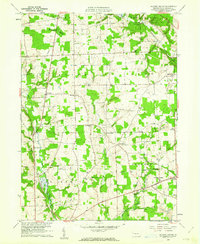
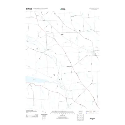
(20)- 1908 Map of Shenango
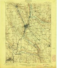 1908 Shenango1908 Print · USGSMercer County at the height of the steam era reveals a landscape defined by an intricate network of competing rail lines and rural hamlets. Genealogists can trace family roots through numerous country schools like Ray School and churches such as Goodhope Church.5 unique versions available
 - 1911 Map of Stoneboro, 1960 Print
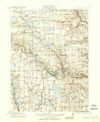 1911 Stoneboro1960 Print · USGSMercer County at the height of its rural rail era was a dense network of farming hamlets and local schools. Genealogists can trace family names at Williams Corners, find many one-room schools like Ross School, or locate the hamlet of Fiddlers Green.
 - 1913 Map of Stoneboro
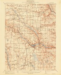 1913 Stoneboro1913 Print · USGSMercer County at the turn of the century shows a landscape of river-valley agriculture and developing rail lines. Researchers can trace family history through dozens of rural schools like Pike School and settlements such as Sheakleyville or Fiddlers Green.5 unique versions available
 - 1943 Map of Stoneboro
 1943 Stoneboro1943 Print · USGSMercer County during the Second World War remains a patchwork of rail-side boroughs and family crossroads. Researchers can trace the legacy of early industry and education through landmarks like Reeds Furnace, Stoneboro, and the many rural schoolhouses like Kerrtown Sch.
 - 1950 Map of Cleveland
 1950 Cleveland1950 Print · USGSCovers Fairview Township, including Cleveland, Akron, and other nearby areas
 - 1956 Map of Cleveland, 1967 Print
 1956 Cleveland1967 Print · USGSNortheast Ohio and Western Pennsylvania are shown at their industrial height during the mid-fifties, from the steel mills to the lakeshore. Researchers can trace the massive Ravenna Arsenal, the Ohio Turnpike, and vanished rail sidings of the B & O RR.3 unique versions available
 - 1958 Map of Fredonia, 1960 Print
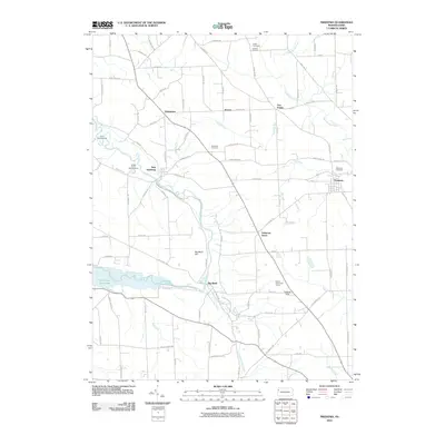
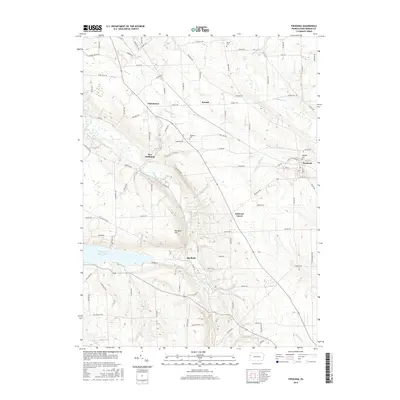
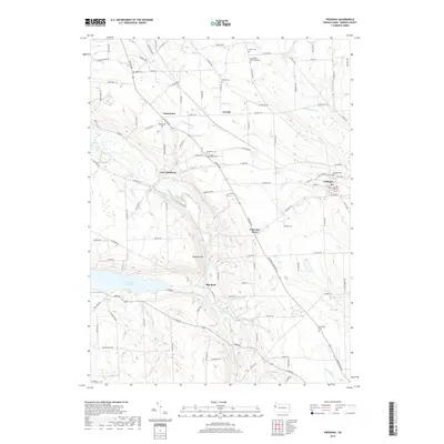
 1958 Fredonia1960 Print · USGSMercer County in the late fifties is captured here as a landscape of rural schoolhouses, country churches, and active rail lines. Researchers can trace family roots through sites like St Johns Ch, Reichard Sch, and the riverside settlement of New Hamburg.3 unique versions available
 - 1960 Map of Jackson Center, 1961 Print
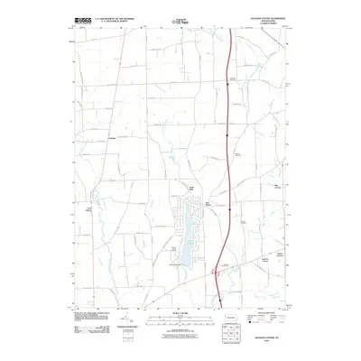
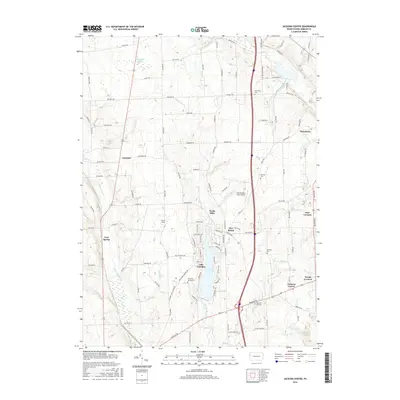
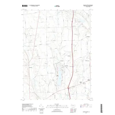
 1960 Jackson Center1961 Print · USGSMercer County's rural and industrial landscape is captured here during the 1960s, showing a network of rail lines and early strip mining operations. Trace family history at Centenary Cem, explore the rail junctions near Stoneboro, or locate old landmarks like Oak Grove Ch.3 unique versions available
 - 1962 Map of Cleveland
 1962 Cleveland1962 Print · USGSNortheast Ohio and the Pennsylvania borderlands appear here during the industrial peak of the early sixties. Genealogists and historians can trace the expansive rail lines of the Nickel Plate Road and the growth of suburbs from Parma to Lyndhurst.
 - 1986 Map of Youngstown, 1988 Print
 1986 Youngstown1988 Print · USGSThe industrial corridor of the Mahoning Valley and the collegiate towns of Western Pennsylvania are captured here in the mid-eighties. Researchers can trace the rail lines of the Conrail network or locate historical sites like Churchill and Crown Hill Cem.2 unique versions available
 - 2010 Map of Jackson Center, 2010 Print
 2010 Jackson Center2010 Print · USGSCovers Fairview Township, including New Vernon Township, Jackson Center, and other nearby areas
 - 2010 Map of Fredonia, 2010 Print
 2010 Fredonia2010 Print · USGSCovers Fairview Township, including Fredonia, Perry Township, and other nearby areas
 - 2013 Map of Jackson Center, 2013 Print
 2013 Jackson Center2013 Print · USGSCovers Fairview Township, including New Vernon Township, Jackson Center, and other nearby areas
 - 2013 Map of Fredonia, 2013 Print
 2013 Fredonia2013 Print · USGSCovers Fairview Township, including Fredonia, Perry Township, and other nearby areas
 - 2016 Map of Fredonia, 2016 Print
 2016 Fredonia2016 Print · USGSCovers Fairview Township, including Fredonia, Perry Township, and other nearby areas
 - 2016 Map of Jackson Center, 2016 Print
 2016 Jackson Center2016 Print · USGSCovers Fairview Township, including New Vernon Township, Jackson Center, and other nearby areas
 - 2019 Map of Fredonia, 2019 Print
 2019 Fredonia2019 Print · USGSCovers Fairview Township, including Fredonia, Perry Township, and other nearby areas
 - 2019 Map of Jackson Center, 2019 Print
 2019 Jackson Center2019 Print · USGSCovers Fairview Township, including New Vernon Township, Jackson Center, and other nearby areas
 - 2023 Map of Jackson Center, 2023 Print
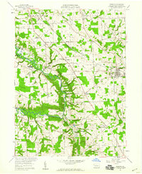
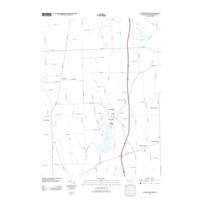
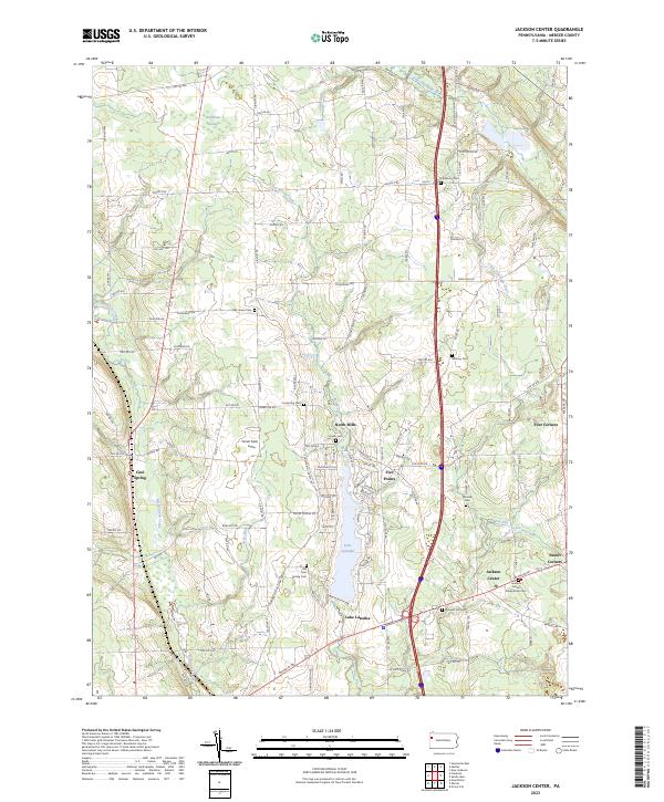 2023 Jackson Center2023 Print · USGSMercer County's rural crossroads and water features are meticulously detailed in this recent survey. Local historians can trace the community layouts of Jackson Center, North Mills, and Nesbit Corners, or locate family sites at the Amish Cem and Zahniser Cem.
 - 2023 Map of Fredonia, 2023 Print
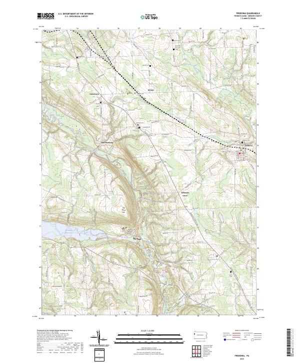 2023 Fredonia2023 Print · USGSMercer County’s rural townships and river valleys are captured here in the early 2020s, showing a landscape defined by historic settlements and winding creeks. Researchers can locate numerous family burial grounds including Bethal Cem and Moyer Cem near Oniontown.
End of results
Showing maps 1-20 of 20
Top cities near Fairview Township
- Hermitage historical maps
- Grove City historical maps
- Greenville historical maps
- Shenango historical maps
- Pulaski Township historical maps
- Mercer historical maps
See more
Frequently asked questions
- What are the different types of historical maps available for Fairview Township?
- What is the oldest map of Fairview Township?
- Where can I purchase historical maps of Fairview Township for my home or office?
- Where can I download high-res historical maps of Fairview Township?
- Are there historical topographic maps available for Fairview Township?
- Is there historical aerial imagery available for Fairview Township?
- Where are historical maps of Fairview Township sourced from?