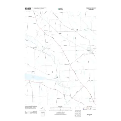
2013 Map of Fredonia
USGS Topo · Published 2013About this map
The Shenango River and Shenango River Lake anchor the landscape of this Mercer County region, which transitions from the village of Fredonia in the east to the scattered settlements of New Hamburg and Big Bend in the west. This 2013 survey documents a community defined by its crossroads and rural junctions, including Five Points, Kitches Corners, and the curiously named Oniontown. The terrain is characterized by winding waterways such as Neshannock Cr and Lawango Run, which cut through the agricultural and wooded surroundings near Big Bend Hill. Recreational sites like Camp Klondashawa, Temple Grove Campground, and the Mercer Public Golf Course indicate the area's contemporary use as a getaway and sporting destination. For genealogists and local historians, the map's detailed road network preserves the paths between long-established hamlets like Delaware Grove and Kremis.
Find a feature on this map
93 named features on this map. Tap any name to fly to it.
Don’t see what you’re looking for? This feature index may not catch every label — zoom into the map to look around manually.
Map Details
Editions of this 2013 Fredonia Map
This is the sole edition of this map. No revisions or reprints were ever made.
Other maps of this area

1905 · Neshannock
USGS Topo · 1:62,500

1907 · Neshannock
USGS Topo · 1:62,500

1908 · Shenango
USGS Topo · 1:62,500

1911 · Stoneboro
USGS Topo · 1:62,500

1913 · Stoneboro
USGS Topo · 1:62,500

1913 · Mercer
USGS Topo · 1:62,500

1939 · Mercer
USGS Topo · 1:62,500

1943 · Mercer
USGS Topo · 1:62,500

1943 · Stoneboro
USGS Topo · 1:62,500

1950 · Cleveland
USGS Topo · 1:250,000
Featured Places
- Fairview Township, PA
- Fredonia, PA
- Perry Township, PA
- Jefferson Township, PA
- Delaware Grove, Delaware Township