Old Maps of Jackson Township, Pennsylvania for Hiking & Exploration
Hike through history with 43 historic maps of Jackson Township. Explore old trails, ghost towns, and forgotten backroads — perfect for outdoor adventurers and local explorers.
- Rediscover forgotten places: Map out old mining camps, roads, and footpaths that no longer exist on modern maps.
- Layer with modern tools: Combine with LiDAR or satellite views to plan hikes through historical terrain.
- Made for exploration: Popular among hikers, overlanders, and local history lovers.
Use these maps to find adventure and explore the hidden past of Jackson Township.
Jackson Township, PA maps
(43)- 1919 Map of Newville
 1919 Newville1919 Print · USGSCumberland County life in the late teens centers on the rail corridors and water mills between the mountains. Trace family roots at Newville or Pine Grove Furnace, and locate rural landmarks like Reiters Mill and Miller Church.6 unique versions available
 - 1919 Map of Mattawana
 1919 Mattawana1919 Print · USGSCentral Pennsylvania's ridge-and-valley network is captured here at the end of the Great War, showing a landscape defined by small mill towns and diverging rail lines. Genealogists can trace family names and ancestral homes in McCulloch Mills, E. Waterford, and Blairs Mills.
 - 1923 Map of Shippensburg
 1923 Shippensburg1923 Print · USGSShippensburg and its surrounding valley floor were defined by the rail lines and agricultural networks of the early twentieth century. Genealogists can locate dozens of country schools and churches, including Brookside School, Lurgan Sta, and the State Normal School campus.3 unique versions available
 - 1930 Map of Loysville, 1953 Print
 1930 Loysville1953 Print · USGSPerry County's rural heartland is meticulously detailed in the 1930s, showing a landscape of ridge-and-valley farms and forest camps. Genealogists can trace family roots through numerous local landmarks like St Paul Ch, Academia Sch, and Loysville.
 - 1933 Map of Loysville
 1933 Loysville1933 Print · USGSPerry County's rural heartland is shown in detail during the early 1930s, when isolated valleys were still dotted with one-room schoolhouses and family farms. Genealogists can trace family footprints through sites like Fort Robinson, Cisna Run, and the numerous local schools like Oak Grove Sch.3 unique versions available
 - 1936 Map of East Waterford
 1936 East Waterford1936 Print · USGSThe ridge-and-valley corridor of Juniata and Perry Counties is captured here in the mid-1930s, showing a landscape defined by narrow mountain gaps and small milling hubs. Researchers can trace ancestral roots through dozens of rural schools and churches, including McCulloughs Mills, Honey Grove, and Fairview Ch and Sch.2 unique versions available
 - 1941 Map of East Waterford
 1941 East Waterford1941 Print · USGSThe Ridge-and-Valley province of Central Pennsylvania appears here in the years before the war, dominated by the great parallel spans of Tuscarora Mountain. Genealogists can locate family sites among numerous rural institutions like Pine Glen Ch, McCullochs Mills, and the CCC Camp at East Waterford.3 unique versions available
 - 1943 Map of Shippensburg, 1965 Print
 1943 Shippensburg1965 Print · USGSCumberland and Franklin Counties are captured here during the Second World War as modern infrastructure began to pierce the ridges. Researchers can trace family roots through dozens of rural landmarks like State Normal Sch, Orrstown, and the Union Ch.
 - 1945 Map of Newville
 1945 Newville1945 Print · USGSCumberland County at the end of the war shows a landscape where the new turnpike crosses a valley of established farms and mills. Researchers can trace family-named sites like Elliotts Mill, the Greythorne Walnut Bottom PO, and schools like Bluehill Sch.
 - 1945 Map of Shippensburg
 1945 Shippensburg1945 Print · USGSCumberland and Franklin counties meet at the base of the ridges in the mid-1940s, just as modern infrastructure begins to reshape the valley. Genealogists and historians can trace numerous rural schoolhouses like Clay Hill Sch and early infrastructure like the Kittatinny Tunnel and State Normal Sch.
 - 1950 Map of Harrisburg, 1952 Print
 1950 Harrisburg1952 Print · USGSMid-century Central Pennsylvania comes alive through its dense rail networks and river valley settlements during the post-war industrial era. Genealogists and historians can trace family roots through hubs like Harrisburg, locate Carlisle Barracks, or follow the Pennsylvania RR through the Lebanon Valley.
 - 1952 Map of Andersonburg, 1958 Print
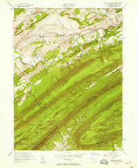 1952 Andersonburg1958 Print · USGSPerry County's rural landscape at the dawn of the fifties shows a network of crossroads settlements and ridges. Genealogists can trace family names at Emery Chapel Cemetery or locate old school sites like Bull Run School and Manassa School.4 unique versions available
 - 1952 Map of Newville, 1958 Print
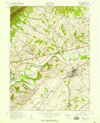 1952 Newville1958 Print · USGSCumberland County’s agricultural and rail corridor is captured here in the early fifties as the modern turnpike begins to bisect traditional township lands. Researchers can locate numerous family-history landmarks, from St Peters Upper Frankford Church to the Bridgewater School.3 unique versions available
 - 1952 Map of Loysville, 1959 Print
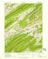 1952 Loysville1959 Print · USGSPerry County and the Juniata border at mid-century are defined by the ridgelines of the Appalachians and the legacy of the timber and rail era. Genealogists can trace family roots at Eshcol Cem or Emory Chapel Cem and locate schools like Manassa Sch.2 unique versions available
 - 1952 Map of Newville, 1959 Print
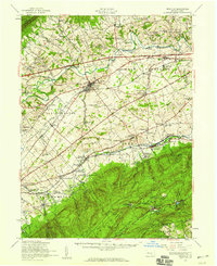 1952 Newville1959 Print · USGSCumberland County communities and traditional farmsteads are documented here in the early fifties, just as the turnpike began to reshape the valley. Genealogists can locate family landmarks like Moors Mill, Bethany Ch, and the many rural schoolhouses from Gillespie Sch to Pine Road Sch.3 unique versions available
 - 1957 Map of Harrisburg
 1957 Harrisburg1957 Print · USGSMid-century Central Pennsylvania comes into focus as a bustling network of rail, river, and mountain ridges. Genealogists and historians can trace the development of the State Capitol and surrounding hubs like Middletown, Columbia, and Pottsville.7 unique versions available
 - 1960 Map of Mc Coysville, 1962 Print
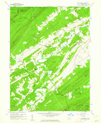 1960 Mc Coysville1962 Print · USGSJuniata County in the early sixties remains a landscape of traditional crossroads and mountain gaps. Genealogists can trace family footprints at McCullochs Mills, McCoysville Cem, and the small settlement of Honey Grove.3 unique versions available
 - 1960 Map of Blain, 1963 Print
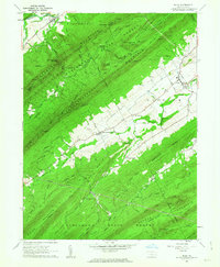 1960 Blain1963 Print · USGSPerry County saw its rural landscape and small-town centers well-established by the early sixties. Researchers can trace family history through Three Springs Ch, locate the cemetery near Blain, and explore mountain gaps like Winns Gap.4 unique versions available
 - 1961 Map of Harrisburg
 1961 Harrisburg1961 Print · USGSCentral Pennsylvania is shown at a mid-century peak of industrial and military activity, from the Susquehanna water gaps to the fertile Dutch Country. Genealogists and historians can trace the rail corridors of the Pennsylvania RR and find landmarks like Carlisle Barracks or the Anthracite Coal Fields.2 unique versions available
 - 1964 Map of Harrisburg
 1964 Harrisburg1964 Print · USGSCentral Pennsylvania in the mid-fifties reveals a landscape shaped by ridge-and-valley geology and critical Cold War infrastructure. Researchers can trace the massive Indiantown Gap Military Reservation or the rail corridors of the Pennsylvania RR and Reading RR.
 - 1966 Map of Newburg, 1968 Print
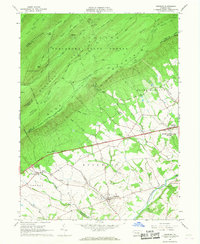 1966 Newburg1968 Print · USGSCumberland County life in the mid-sixties is centered on the valley around Newburg as the modern highway age reshapes the rural landscape. Genealogists can trace family names and local landmarks like Hanna Cem, Hopewell Ch, and the small settlement of McKinney.2 unique versions available
 - 1984 Map of Carlisle, 1985 Print
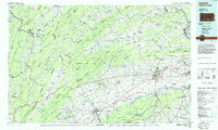 1984 Carlisle1985 Print · USGSSouth-central Pennsylvania is shown during the mid-eighties as a hub of military activity and mountain transit. Genealogists and historians can trace the development of Carlisle Barracks and Letterkenny Army Depot, alongside rail routes like Conrail.2 unique versions available
 - 2010 Map of Blain, 2010 Print
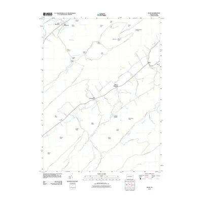 2010 Blain2010 Print · USGSCovers Jackson Township, including Blain, Southwest Madison Township, and other nearby areas
 - 2010 Map of Newville, 2010 Print
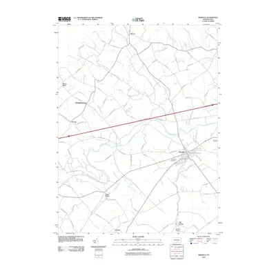 2010 Newville2010 Print · USGSCovers Jackson Township, including West Pennsboro Township, North Newton Township, and other nearby areas
 - 2010 Map of McCoysville, 2010 Print
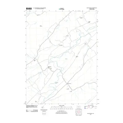 2010 McCoysville2010 Print · USGSCovers Jackson Township, including Spruce Hill Township, Milford Township, and other nearby areas
Showing maps 1-25 of 43
Top cities near Jackson Township
- Dickinson historical maps
- Granville Township historical maps
- Saville Township historical maps
- Centre historical maps
- Lurgan Township historical maps
- Menno Township historical maps
See more
Top neighborhoods of Jackson Township
Frequently asked questions
- What are the different types of historical maps available for Jackson Township?
- What is the oldest map of Jackson Township?
- Where can I purchase historical maps of Jackson Township for my home or office?
- Where can I download high-res historical maps of Jackson Township?
- Are there historical topographic maps available for Jackson Township?
- Is there historical aerial imagery available for Jackson Township?
- Where are historical maps of Jackson Township sourced from?