2000s (21st Century) Maps of Penn Township, Pennsylvania
Explore 15 historic maps of Penn Township from the 2000s (21st Century). These maps offer a rare glimpse into what life looked like during the 2000s — showing old roads, neighborhoods, homes, and landmarks that have changed or disappeared over time.
Whether you're researching your family's past, planning a metal detecting trip, or studying how Penn Township's landscape evolved across the 2000s, these high-resolution maps are a powerful tool for exploring the history of this region.
- Focus on a specific era: All maps on this page are from the 2000s, giving you a focused view of this time period.
- See what’s changed: Compare century-old streets, trails, and buildings to today's modern landscape using overlays and satellite layers.
- Research with precision: Use these maps for genealogy, historical research, land use analysis, or educational projects.
- View, download, or print: Maps are fully viewable online in high resolution, and can be downloaded or printed for your own records.
Start exploring Penn Township's history through authentic maps from the 2000s. This is your window into the past.
Penn Township, PA maps
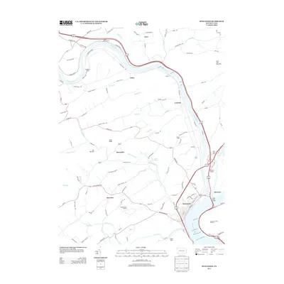
(15)- 2010 Map of Wertzville, 2010 Print
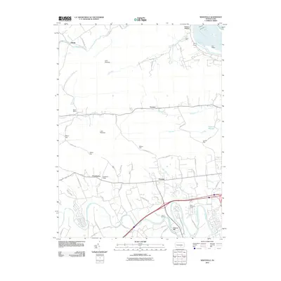 2010 Wertzville2010 Print · USGSCovers Penn Township, including Middlesex Township, Wheatfield Township, and other nearby areas
 - 2010 Map of Duncannon, 2010 Print
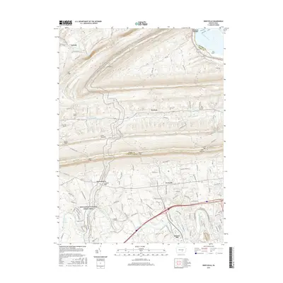
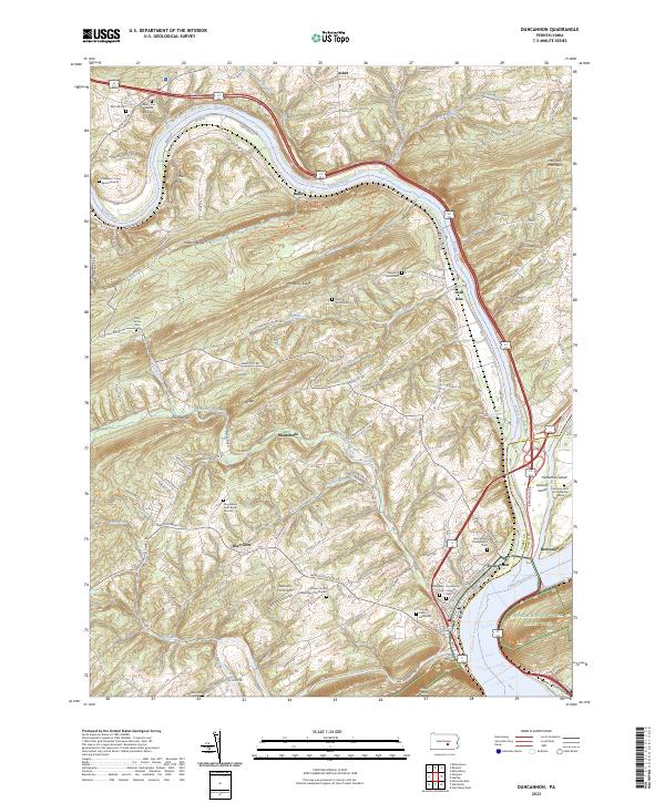
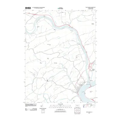 2010 Duncannon2010 Print · USGSCovers Penn Township, including Wheatfield Township, Reed Township, and other nearby areas
 - 2010 Map of Harrisburg West, 2010 Print
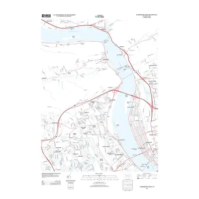
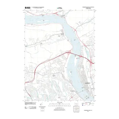 2010 Harrisburg West2010 Print · USGSCovers Penn Township, including Harrisburg, Enola, and other nearby areas
 - 2013 Map of Wertzville, 2013 Print
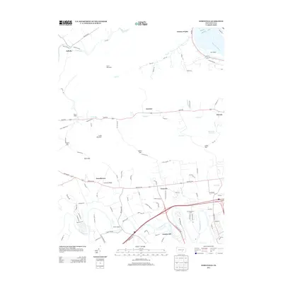 2013 Wertzville2013 Print · USGSCovers Penn Township, including Middlesex Township, Wheatfield Township, and other nearby areas
 - 2013 Map of Duncannon, 2013 Print
 2013 Duncannon2013 Print · USGSCovers Penn Township, including Wheatfield Township, Reed Township, and other nearby areas
 - 2013 Map of Harrisburg West, 2013 Print
 2013 Harrisburg West2013 Print · USGSCovers Penn Township, including Harrisburg, Enola, and other nearby areas
 - 2016 Map of Wertzville, 2016 Print
 2016 Wertzville2016 Print · USGSCovers Penn Township, including Middlesex Township, Wheatfield Township, and other nearby areas
 - 2016 Map of Harrisburg West, 2016 Print
 2016 Harrisburg West2016 Print · USGSCovers Penn Township, including Harrisburg, Enola, and other nearby areas
 - 2016 Map of Duncannon, 2016 Print
 2016 Duncannon2016 Print · USGSCovers Penn Township, including Wheatfield Township, Reed Township, and other nearby areas
 - 2019 Map of Duncannon, 2019 Print
 2019 Duncannon2019 Print · USGSCovers Penn Township, including Wheatfield Township, Reed Township, and other nearby areas
 - 2019 Map of Wertzville, 2019 Print
 2019 Wertzville2019 Print · USGSCovers Penn Township, including Middlesex Township, Wheatfield Township, and other nearby areas
 - 2019 Map of Harrisburg West, 2019 Print
 2019 Harrisburg West2019 Print · USGSCovers Penn Township, including Harrisburg, Enola, and other nearby areas
 - 2023 Map of Duncannon, 2023 Print
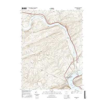
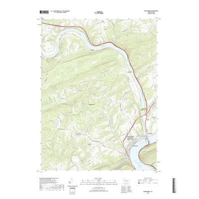
 2023 Duncannon2023 Print · USGSThe confluence of the Juniata and Susquehanna Rivers highlights this recent survey of Duncannon. Genealogists can trace family plots at Watts Burial Ground or Evergreen Cem and locate historic river landmarks like Haldeman Island.
 - 2023 Map of Wertzville, 2023 Print
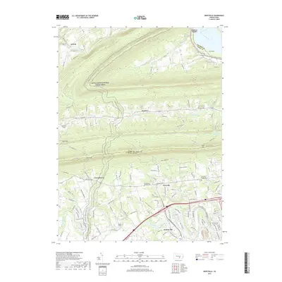
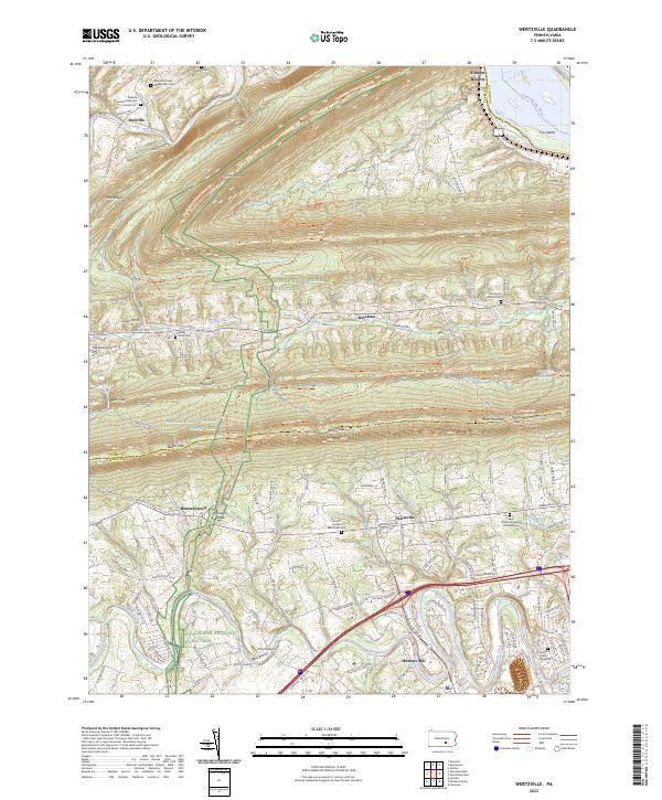 2023 Wertzville2023 Print · USGSCrossing the ridges of Perry and Cumberland counties, this contemporary survey captures the mountain gaps and valley settlements north of the state capital. Genealogists can trace family landmarks at the Kauffman Farm Graveyard, Hustons Mill, and Oak Grove School Cem.
 - 2023 Map of Harrisburg West, 2023 Print
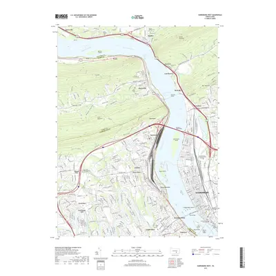
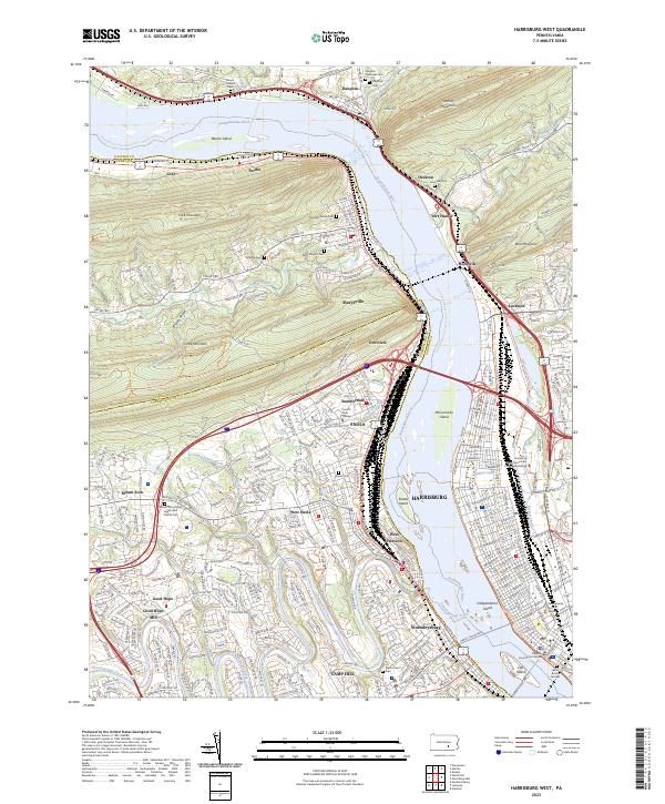 2023 Harrisburg West2023 Print · USGSThe Susquehanna River corridor near Harrisburg is captured here in the early 2020s, showing the dense rail yards and riverfront boroughs. Researchers can trace historic sites like Good Hope Mill, the Fort Hunter area, and the Harris Burial Ground near the state capital.
End of results
Showing maps 1-15 of 15
Top cities near Penn Township
- Harrisburg historical maps
- Carlisle historical maps
- Colonial Park historical maps
- Progress historical maps
- New Cumberland historical maps
- Lower Allen historical maps
See more
Top neighborhoods of Penn Township
Frequently asked questions
- What are the different types of historical maps available for Penn Township?
- What is the oldest map of Penn Township?
- Where can I purchase historical maps of Penn Township for my home or office?
- Where can I download high-res historical maps of Penn Township?
- Are there historical topographic maps available for Penn Township?
- Is there historical aerial imagery available for Penn Township?
- Where are historical maps of Penn Township sourced from?