2000s (21st Century) Maps of Paint Township, Pennsylvania
Explore 10 historic maps of Paint Township from the 2000s (21st Century). These maps offer a rare glimpse into what life looked like during the 2000s — showing old roads, neighborhoods, homes, and landmarks that have changed or disappeared over time.
Whether you're researching your family's past, planning a metal detecting trip, or studying how Paint Township's landscape evolved across the 2000s, these high-resolution maps are a powerful tool for exploring the history of this region.
- Focus on a specific era: All maps on this page are from the 2000s, giving you a focused view of this time period.
- See what’s changed: Compare century-old streets, trails, and buildings to today's modern landscape using overlays and satellite layers.
- Research with precision: Use these maps for genealogy, historical research, land use analysis, or educational projects.
- View, download, or print: Maps are fully viewable online in high resolution, and can be downloaded or printed for your own records.
Start exploring Paint Township's history through authentic maps from the 2000s. This is your window into the past.
Paint Township, PA maps
(10)- 2010 Map of Windber, 2010 Print
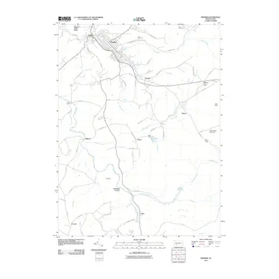 2010 Windber2010 Print · USGSCovers Paint Township, including Windber, Paint, and other nearby areas
 - 2010 Map of Hooversville, 2010 Print
 2010 Hooversville2010 Print · USGSCovers Paint Township, including Hooversville, Benson, and other nearby areas
 - 2013 Map of Hooversville, 2013 Print
 2013 Hooversville2013 Print · USGSCovers Paint Township, including Hooversville, Benson, and other nearby areas
 - 2013 Map of Windber, 2013 Print
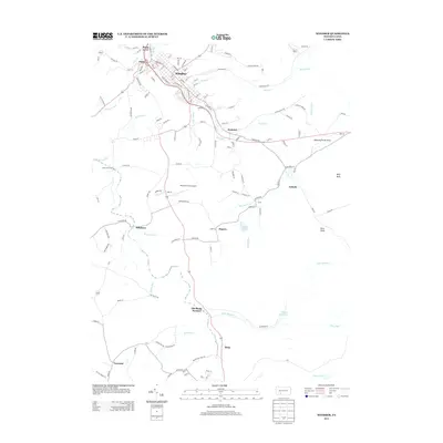 2013 Windber2013 Print · USGSCovers Paint Township, including Windber, Paint, and other nearby areas
 - 2016 Map of Hooversville, 2016 Print
 2016 Hooversville2016 Print · USGSCovers Paint Township, including Hooversville, Benson, and other nearby areas
 - 2016 Map of Windber, 2016 Print
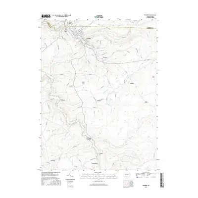 2016 Windber2016 Print · USGSCovers Paint Township, including Windber, Paint, and other nearby areas
 - 2019 Map of Windber, 2019 Print
 2019 Windber2019 Print · USGSCovers Paint Township, including Windber, Paint, and other nearby areas
 - 2019 Map of Hooversville, 2019 Print
 2019 Hooversville2019 Print · USGSCovers Paint Township, including Hooversville, Benson, and other nearby areas
 - 2023 Map of Windber, 2023 Print
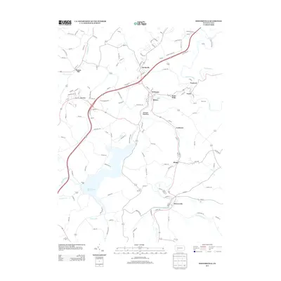
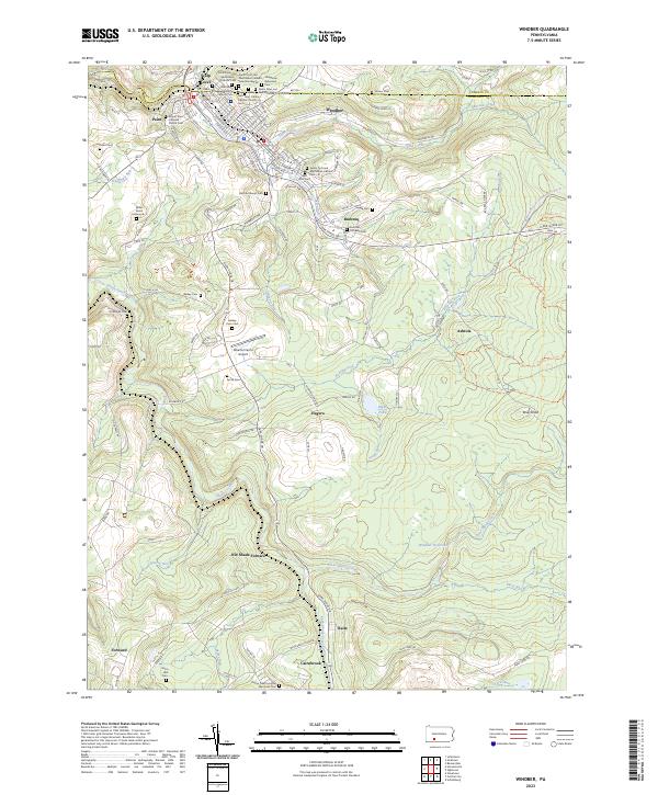 2023 Windber2023 Print · USGSThe northern Somerset County coalfields are captured here in the early twenty-first century, showing the dense settlement of Windber and its surrounding communities. Researchers can trace local heritage through sites like the Old Shade Furnace and the many ethnic cemeteries such as Hungarian Reformed Cem.
 - 2023 Map of Hooversville, 2023 Print
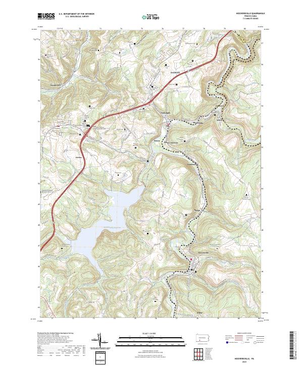 2023 Hooversville2023 Print · USGSSomerset County’s industrial and spiritual history is on full display in this modern survey of the Stonycreek River valley. Genealogists can trace family lines through dozens of sites like the Levi Yoder Burial Grounds and Hooversville Reformed Cem.
End of results
Showing maps 1-10 of 10
Top cities near Paint Township
- Johnstown historical maps
- Somerset historical maps
- Franklin historical maps
- Westmont historical maps
- Windber historical maps
- Stonycreek Township historical maps
See more
Top neighborhoods of Paint Township
- Blough historical maps
- Hillsboro historical maps
- Landstreet historical maps
- Hagero historical maps
- Rummel historical maps
- Seanor historical maps
See more
Frequently asked questions
- What are the different types of historical maps available for Paint Township?
- What is the oldest map of Paint Township?
- Where can I purchase historical maps of Paint Township for my home or office?
- Where can I download high-res historical maps of Paint Township?
- Are there historical topographic maps available for Paint Township?
- Is there historical aerial imagery available for Paint Township?
- Where are historical maps of Paint Township sourced from?