2010s Maps of Southampton Township, Pennsylvania
Explore 16 historic maps of Southampton Township from the 2010s. These maps offer a rare glimpse into what life looked like during the 2010s — showing old roads, neighborhoods, homes, and landmarks that have changed or disappeared over time.
Whether you're researching your family's past, planning a metal detecting trip, or studying how Southampton Township's landscape evolved across the 2010s, these high-resolution maps are a powerful tool for exploring the history of this region.
- Focus on a specific era: All maps on this page are from the 2010s, giving you a focused view of this time period.
- See what’s changed: Compare century-old streets, trails, and buildings to today's modern landscape using overlays and satellite layers.
- Research with precision: Use these maps for genealogy, historical research, land use analysis, or educational projects.
- View, download, or print: Maps are fully viewable online in high resolution, and can be downloaded or printed for your own records.
Start exploring Southampton Township's history through authentic maps from the 2010s. This is your window into the past.
Southampton Township, PA maps
(16)- 2010 Map of Fairhope, 2010 Print
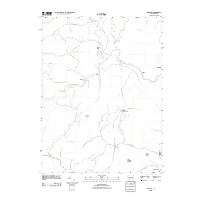 2010 Fairhope2010 Print · USGSSomerset County’s high ridges and creek valleys are documented here at the turn of the twenty-first century. Researchers can trace historic industrial sites like Bittners Mill and engineering landmarks such as the Falls Cut Tunnel and Fitchner Covered Bridge.
 - 2010 Map of Wittenberg, 2010 Print
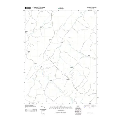 2010 Wittenberg2010 Print · USGSSomerset County’s rural highlands appear in great detail during the early 2000s, showing a landscape shaped by narrow creek valleys and historical crossroads. Genealogists and local historians can trace family-named sites like Hays Mill, Warrens Mill, and the Mount Zion-Hays Cemetery.
 - 2011 Map of Cumberland, 2011 Print
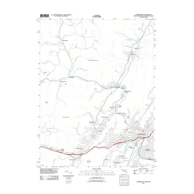 2011 Cumberland2011 Print · USGSCumberland and the Maryland-Pennsylvania borderlands appear here in the early twenty-first century, showcasing a landscape carved by river gaps and mountain ridges. Trace the region's infrastructure through Brush Tunnel, Maryland Junction, and historic sites like the Ellerslie Post Office.
 - 2011 Map of Frostburg, 2011 Print
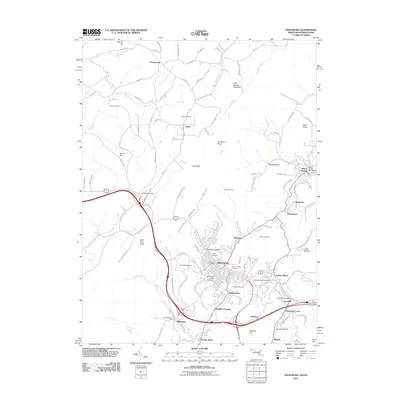 2011 Frostburg2011 Print · USGSMaryland's western highlands come to life in this 2011 survey of the coal and rail corridor near the Pennsylvania border. Researchers can trace the layout of mining towns like Eckhart Mines and Midlothian or locate family plots in Allegany Cemetery.
 - 2013 Map of Fairhope, 2013 Print
 2013 Fairhope2013 Print · USGSSomerset County in the early twenty-first century reveals a landscape shaped by water and high ridges. Genealogists and historians can trace the foundations of local industry and transit at Bittners Mill, the Falls Cut Tunnel, and the Fitchner Covered Bridge.
 - 2013 Map of Wittenberg, 2013 Print
 2013 Wittenberg2013 Print · USGSSomerset County’s milling history and creek-side settlements are detailed here in the early twenty-first century. Researchers can trace family names and local industry through features like Warrens Mill, Sand Patch, and the Old Cumberland Pike.
 - 2014 Map of Frostburg, 2014 Print
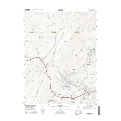 2014 Frostburg2014 Print · USGSFrostburg and the surrounding coal-patch towns of Allegany County are shown here in the early twenty-first century. Researchers can trace the enduring footprints of industry and travel at Eckhart Mines, Borden Shaft, and the Clarysville Bridge.
 - 2014 Map of Cumberland, 2014 Print
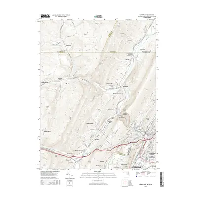 2014 Cumberland2014 Print · USGSCumberland and the Potomac River valley are captured here at the busy intersection of Maryland, Pennsylvania, and West Virginia. Researchers can trace historic transit and burial sites, from the C&O Canal Nat Hist Site to Rose Hill Cem and the Brush Tunnel.
 - 2016 Map of Wittenberg, 2016 Print
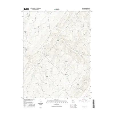 2016 Wittenberg2016 Print · USGSSomerset County's mountain landscape is captured here in the mid-2010s, showing the high-elevation settlements and watercourses of the Alleghenies. Researchers can trace rural lineages through sites like Mount Zion-Hays Cemetery and early industrial points such as Warrens Mill or Berkleys Mill.
 - 2016 Map of Fairhope, 2016 Print
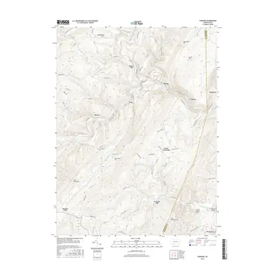 2016 Fairhope2016 Print · USGSThe high ridges and deep water gaps of the Allegheny Front define this area of Somerset County during the mid-2010s. Researchers can locate remote family landmarks and heritage sites like the Fitchner Covered Bridge, the Falls Cut Tunnel, and Kennells Mill.
 - 2016 Map of Frostburg, 2016 Print
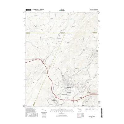 2016 Frostburg2016 Print · USGSFrostburg and the surrounding Maryland coal country appear in this modern survey of the Allegheny ridges. Researchers can trace the layout of Eckhart Mines, find family names in Allegany Cem, or follow the rail lines through Wrights Crossing and Mount Savage.
 - 2016 Map of Cumberland, 2016 Print
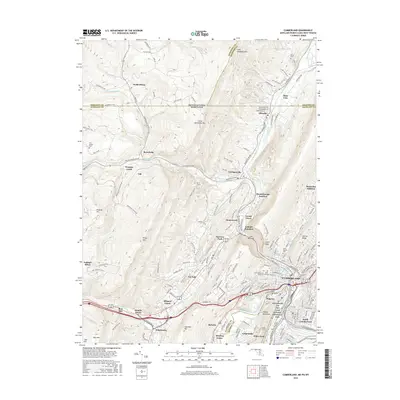 2016 Cumberland2016 Print · USGSCumberland and the surrounding mountain ridges come into focus in the mid-2010s at the intersection of the Potomac and Wills Creek. Researchers can find numerous family and church burial sites like Saint Patricks Cem or trace the path of the Chesapeake and Ohio Canal.
 - 2019 Map of Fairhope, 2019 Print
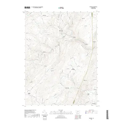 2019 Fairhope2019 Print · USGSSomerset and Bedford Counties appear in this modern survey as a landscape of deep valleys and formidable ridges. Genealogists and historians can trace the foundations of old rural life at Bittners Mill, Comps Crossroads, and the Fitchner Covered Bridge.
 - 2019 Map of Wittenberg, 2019 Print
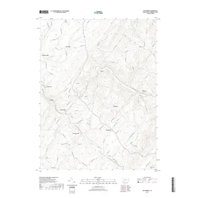 2019 Wittenberg2019 Print · USGSSomerset County's high ridges and creek valleys are documented here during the late 2010s, showcasing a landscape shaped by water and tradition. Genealogists can locate family sites at Mount Zion-Hays Cem and trace old industrial nodes like Berkleys Mill and Sand Patch.
 - 2019 Map of Cumberland, 2019 Print
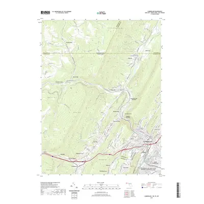 2019 Cumberland2019 Print · USGSCumberland and the Potomac River valley are shown in this recent survey during a period of modern growth and historical preservation. Trace the path of the Potomac Heritage National Scenic Trail or locate family sites at Porter Cem and Sixmile House.
 - 2019 Map of Frostburg, 2019 Print
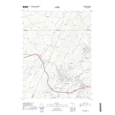 2019 Frostburg2019 Print · USGSFrostburg and the surrounding coal ridges are shown in high detail during this contemporary era. Genealogists and historians can trace the foundations of local industry and community at Eckhart Mines, Borden Shaft, and Saint Michael's Cem.
End of results
Showing maps 1-16 of 16
Top cities near Southampton Township
- Cumberland historical maps
- Frostburg historical maps
- Somerset historical maps
- La Vale historical maps
- Meyersdale historical maps
- Berlin historical maps
See more
Top neighborhoods of Southampton Township
Frequently asked questions
- What are the different types of historical maps available for Southampton Township?
- What is the oldest map of Southampton Township?
- Where can I purchase historical maps of Southampton Township for my home or office?
- Where can I download high-res historical maps of Southampton Township?
- Are there historical topographic maps available for Southampton Township?
- Is there historical aerial imagery available for Southampton Township?
- Where are historical maps of Southampton Township sourced from?