2020s Maps of Sullivan County, Pennsylvania
Explore 16 historic maps of Sullivan County from the 2020s. These maps offer a rare glimpse into what life looked like during the 2020s — showing old roads, neighborhoods, homes, and landmarks that have changed or disappeared over time.
Whether you're researching your family's past, planning a metal detecting trip, or studying how Sullivan County's landscape evolved across the 2020s, these high-resolution maps are a powerful tool for exploring the history of this region.
- Focus on a specific era: All maps on this page are from the 2020s, giving you a focused view of this time period.
- See what’s changed: Compare century-old streets, trails, and buildings to today's modern landscape using overlays and satellite layers.
- Research with precision: Use these maps for genealogy, historical research, land use analysis, or educational projects.
- View, download, or print: Maps are fully viewable online in high resolution, and can be downloaded or printed for your own records.
Start exploring Sullivan County's history through authentic maps from the 2020s. This is your window into the past.
Sullivan County, PA maps
(16)- 2023 Map of Lopez, 2023 Print
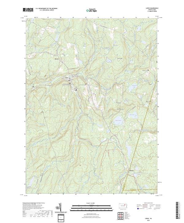 2023 Lopez2023 Print · USGSSullivan County settlement and mountain terrain are captured here in the 2020s, showing the enduring layout of rural mountain towns. Genealogists can trace family sites at Saint Peter and Pauls Byzantine Catholic Cem, Ellis Cem, and the settlement of Lopez.
 - 2023 Map of Hillsgrove, 2023 Print
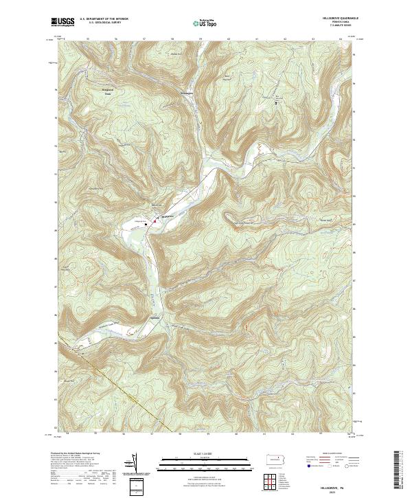 2023 Hillsgrove2023 Print · USGSSullivan County's deep valleys and timbered ridges are captured in this modern survey of the Loyalsock area. Researchers can find family cemeteries and remote settlements such as Hillsgrove, Ogdonia, and the riverfront grounds of Hillsgrove Cem.
 - 2023 Map of Sonestown, 2023 Print
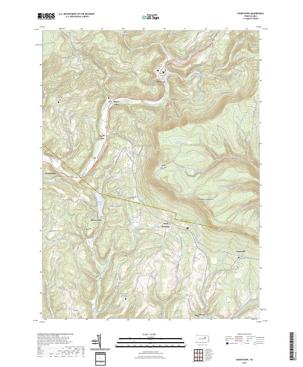 2023 Sonestown2023 Print · USGSSullivan County's high ridges and creek valleys are documented here in the early twenty-first century, showing the enduring rural layout of the region. Researchers can locate family landmarks like the Lungerville Cem and trace the paths through Muncy Valley or along Beaver Lake.
 - 2023 Map of Barbours, 2023 Print
 2023 Barbours2023 Print · USGSThis Lycoming County high-country landscape shows the deep valleys and ridges of the Loyalsock region in the 2020s. Genealogists and local historians can locate family sites near Barbours, Proctor, and Hoppestown, or trace the old roads leading to Barbours Cem and Coal Mine Hollow.
 - 2023 Map of Shunk, 2023 Print
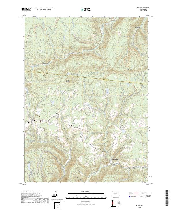 2023 Shunk2023 Print · USGSSullivan and Bradford Counties are shown in the early 2020s, featuring a network of mountain hamlets and old forest trails. Researchers can locate early burial grounds like Quaker Cem, find the Elkland Meetinghouse, and trace local landmarks such as Buttermilk Falls.
 - 2023 Map of Elk Grove, 2023 Print
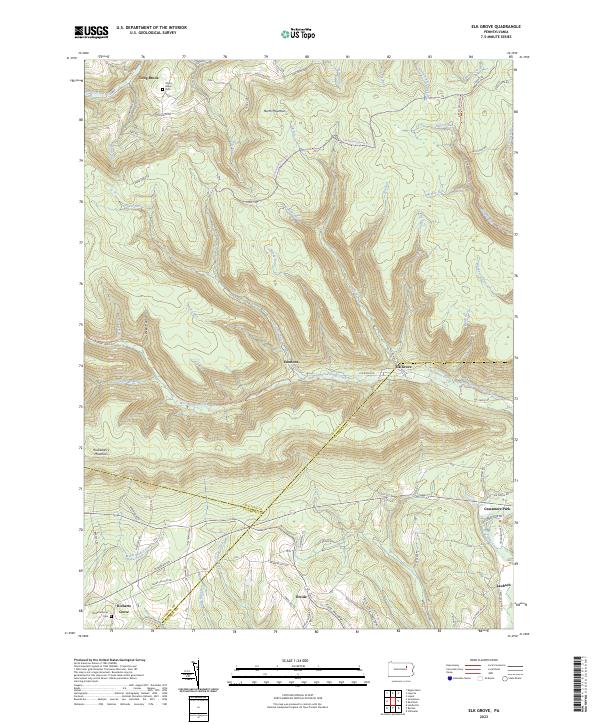 2023 Elk Grove2023 Print · USGSSullivan and Columbia counties meet in this highland region during the early twenty-first century, where the West Branch of Fishing Creek cuts through the plateau. Researchers can trace rural settlement patterns at Elk Grove, Richarts Grove, and Emmons, or locate family sites near York Hollow and Grassmere Park.
 - 2023 Map of Jenningsville, 2023 Print
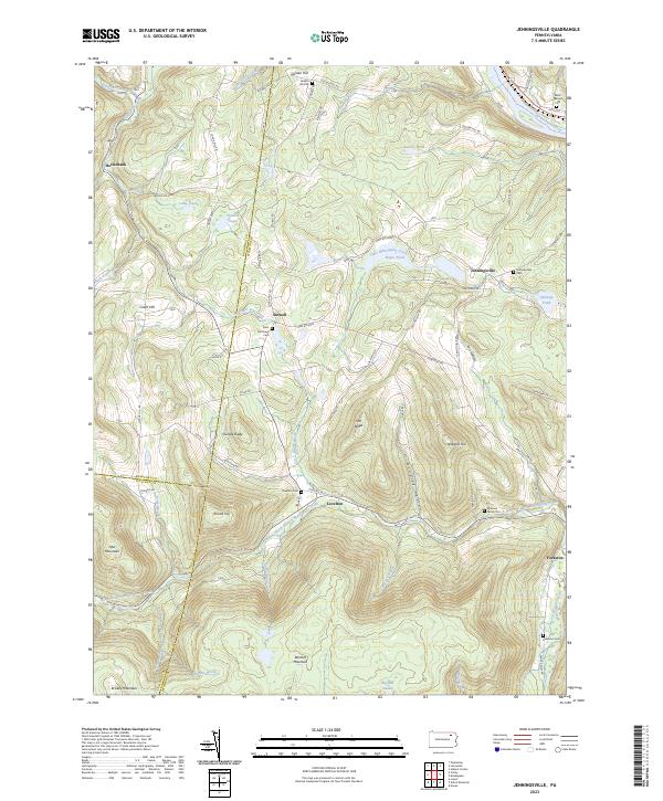 2023 Jenningsville2023 Print · USGSWyoming County communities near the Susquehanna River are documented here in recent decades as they maintain their rural heritage. Researchers can locate family burial sites like the Winslow Family Plot and trace old routes through Lovelton and Stowell.
 - 2023 Map of Dushore, 2023 Print
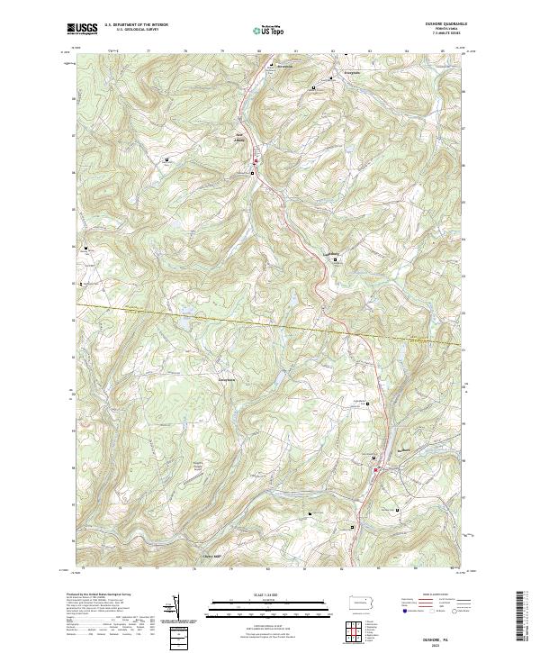 2023 Dushore2023 Print · USGSSullivan and Bradford counties appear in this modern survey of the uplands surrounding the Dushore borough. Genealogists can locate family burial grounds like the Heverly Family Cem and trace the paths of Little Loyalsock Creek through Cherry Mills.
 - 2023 Map of Overton, 2023 Print
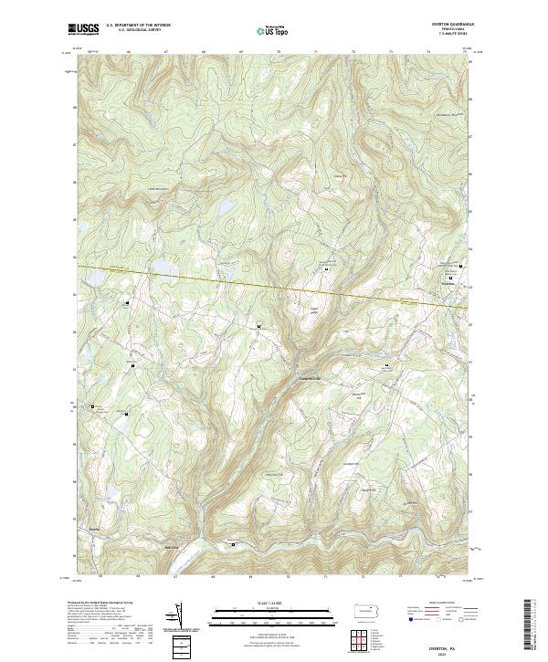 2023 Overton2023 Print · USGSThe Sullivan and Bradford county border region is shown here in the modern era, featuring upland mountain settlements and numerous family cemeteries. Locate local landmarks like Overton, Estella, and the Saint Francis Xavier Cem.
 - 2023 Map of Eagles Mere, 2023 Print
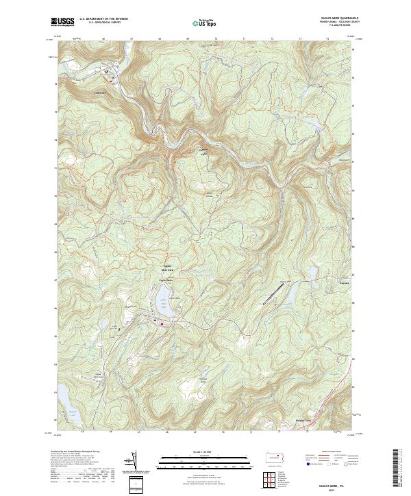 2023 Eagles Mere2023 Print · USGSSullivan County’s high forest plateau is documented here in the early twenty-first century, centered on the historic resort community of Eagles Mere. Genealogists and local historians can trace the town’s residential growth, find the Eagles Mere Cem, and follow the path of the old Conservancy Narrow Gauge Rail-Trl.
 - 2023 Map of Colley, 2023 Print
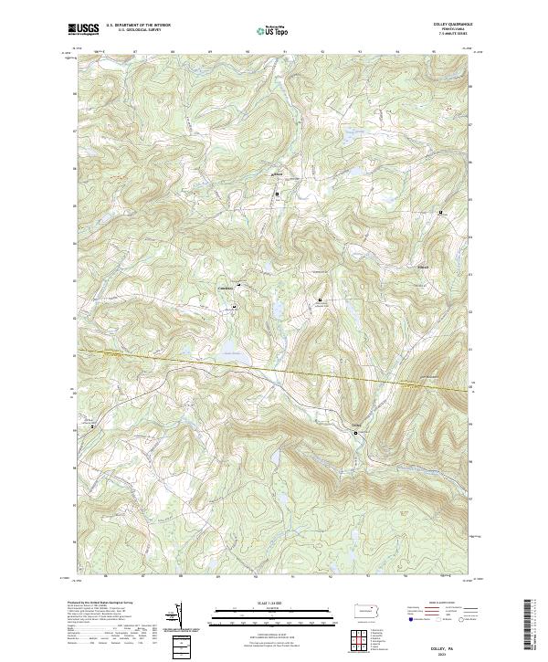 2023 Colley2023 Print · USGSThe rural borderlands of Bradford and Sullivan counties come alive in this recent survey. Local historians can trace family roots through numerous burial sites like Norconk Cem, Elwell Cem, and the church grounds at Old Zion Lutheran Cem.
 - 2023 Map of Picture Rocks, 2023 Print
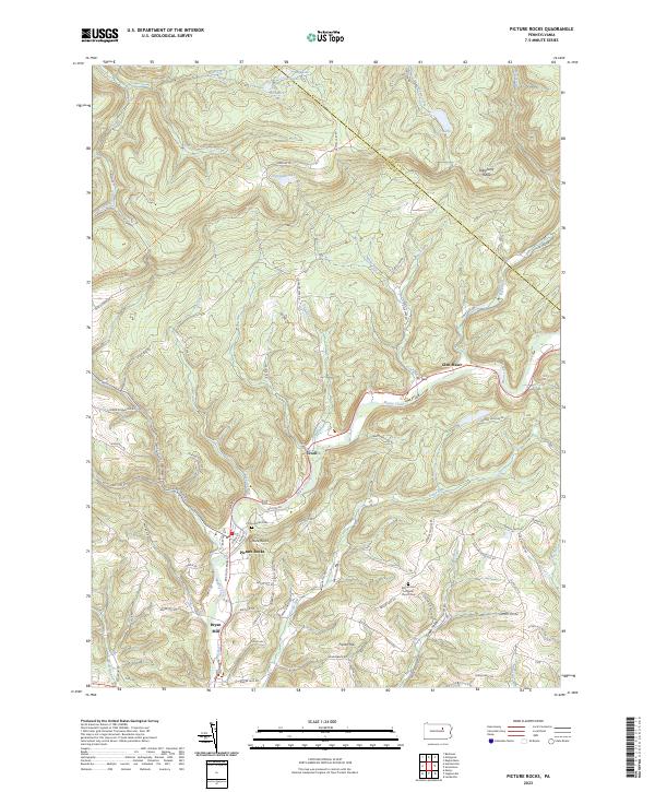 2023 Picture Rocks2023 Print · USGSLycoming County settlements and ridges appear in this 2023 survey of the Muncy Creek valley. Genealogists and hikers can locate Picture Rocks Cem, trace the Loyalsock Trl, or explore the hamlets of Tivoli and Bryan Mill.
 - 2023 Map of Grover, 2023 Print
 2023 Grover2023 Print · USGSThe high ridges of Lycoming and Bradford Counties come alive in this recent survey of the Endless Mountains region. Researchers can trace family history at Rutty Cem or explore the mountain hamlets of Grover and Ellenton along the Old Railroad Grade Rd.
 - 2023 Map of Dutch Mountain, 2023 Print
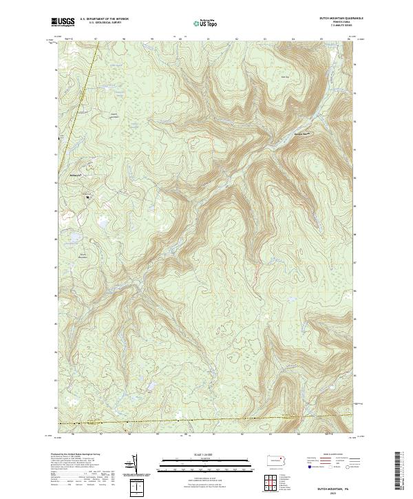 2023 Dutch Mountain2023 Print · USGSThe Wyoming County highlands are captured here in the early 2020s, showing a landscape defined by deep-woods settlements and high-plateau wetlands. You can trace the lineage of the region through family landmarks like Fincke Cem or explore old industrial paths along the Railroad Grade Trl.
 - 2023 Map of Red Rock, 2023 Print
 2023 Red Rock2023 Print · USGSThe high plateau where Sullivan, Luzerne, and Columbia counties converge is documented here in the early twenty-first century. Researchers can trace rural cemeteries like Mossville Cem and the small settlements of Jamison City and Tri Mills.
 - 2023 Map of Laporte, 2023 Print
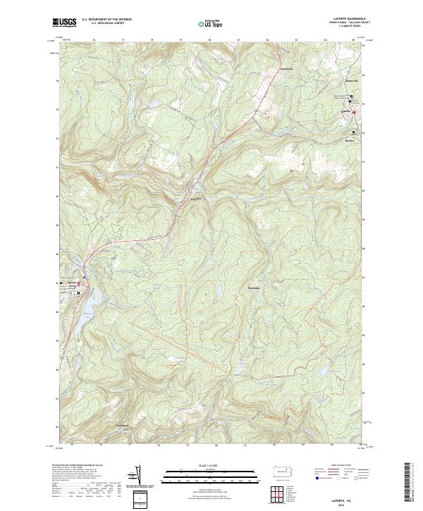 2023 Laporte2023 Print · USGSSullivan County’s high plateaus and historic hamlets are captured in this recent survey of the Laporte area. Genealogists and local historians can locate family sites at the Saint Francis of Assisi Cem or trace the early paths near Mildred and Bernice.
End of results
Showing maps 1-16 of 16
Top cities of Sullivan County
- Colley Township historical maps
- Dushore historical maps
- Laporte historical maps
- Hillsgrove Township historical maps
- Eagles Mere historical maps
- Forksville historical maps
Frequently asked questions
- What are the different types of historical maps available for Sullivan County?
- What is the oldest map of Sullivan County?
- Where can I purchase historical maps of Sullivan County for my home or office?
- Where can I download high-res historical maps of Sullivan County?
- Are there historical topographic maps available for Sullivan County?
- Is there historical aerial imagery available for Sullivan County?
- Where are historical maps of Sullivan County sourced from?