Old Maps of Sullivan County, Pennsylvania for Academic Research
Study the evolution of Sullivan County with 64 high-resolution historic maps. Whether you're teaching, researching, or modeling changes in land use, these maps provide essential visual documentation of urban, environmental, and geographic change.
- Analyze long-term change: Track patterns in development, transportation, and natural features.
- Ideal for environmental or urban studies: Support academic projects with primary historical map data.
- Use in the classroom or lab: Educators and researchers rely on these maps to bring historical context to life.
These maps are a powerful tool for teaching, research, and visualizing how Sullivan County has changed over the decades.
Sullivan County, PA maps
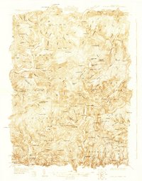
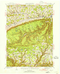
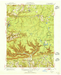
(64)- 1891 Map of Harveys Lake, 1962 Print
 1891 Harveys Lake1962 Print · USGSCovers Sullivan County, including Dallas Township, Lehman Township, and other nearby areas
 - 1893 Map of Harvey Lake
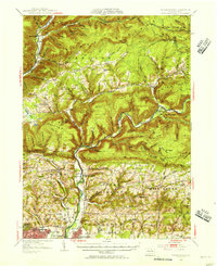
 1893 Harvey Lake1893 Print · USGSCovers Sullivan County, including Dallas Township, Lehman Township, and other nearby areas6 unique versions available
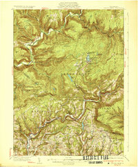
 - 1927 Map of Eagles Mere
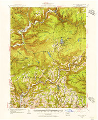
 1927 Eagles Mere1927 Print · USGSCovers Sullivan County, including Picture Rocks, Hillsgrove Township, and other nearby areas
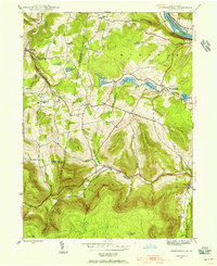
 - 1930 Map of Warrensville
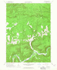
 1930 Warrensville1930 Print · USGSCovers Sullivan County, including Williamsport, Faxon, and other nearby areas3 unique versions available
 - 1932 Map of Eagle Mere
 1932 Eagle Mere1932 Print · USGSCovers Sullivan County, including Picture Rocks, Hillsgrove Township, and other nearby areas4 unique versions available
 - 1934 Map of Warrensville
 1934 Warrensville1934 Print · USGSCovers Sullivan County, including Williamsport, Faxon, and other nearby areas3 unique versions available
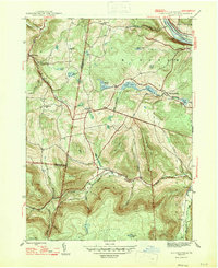
 - 1934 Map of Laporte
 1934 Laporte1934 Print · USGSCovers Sullivan County, including Jackson Township, Colley Township, and other nearby areas3 unique versions available
 - 1942 Map of Canton, 1958 Print
 1942 Canton1958 Print · USGSCovers Sullivan County, including Canton, Leroy Township, and other nearby areas2 unique versions available
 - 1943 Map of Monroeton, 1945 Print
 1943 Monroeton1945 Print · USGSCovers Sullivan County, including Wysox Township, Wilmot Township, and other nearby areas3 unique versions available
 - 1943 Map of Powell, 1955 Print
 1943 Powell1955 Print · USGSCovers Sullivan County, including West Burlington Township, Leroy Township, and other nearby areas2 unique versions available
 - 1944 Map of Canton
 1944 Canton1944 Print · USGSCovers Sullivan County, including Canton, Leroy Township, and other nearby areas3 unique versions available
 - 1945 Map of Powell
 1945 Powell1945 Print · USGSCovers Sullivan County, including West Burlington Township, Leroy Township, and other nearby areas3 unique versions available
 - 1945 Map of Meshoppen, 1952 Print
 1945 Meshoppen1952 Print · USGSCovers Sullivan County, including Rush Township, Wilmot Township, and other nearby areas4 unique versions available
 - 1945 Map of Jenningsville, 1956 Print
 1945 Jenningsville1956 Print · USGSCovers Sullivan County, including Wilmot Township, Colley Township, and other nearby areas4 unique versions available
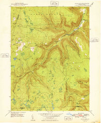
 - 1946 Map of Dutch Mtn, 1960 Print
 1946 Dutch Mtn1960 Print · USGSCovers Sullivan County, including Noxen Township, Colley Township, and other nearby areas3 unique versions available
 - 1947 Map of Jenningsville
 1947 Jenningsville1947 Print · USGSCovers Sullivan County, including Wilmot Township, Colley Township, and other nearby areas2 unique versions available
 - 1948 Map of Dutch Mtn
 1948 Dutch Mtn1948 Print · USGSCovers Sullivan County, including Noxen Township, Colley Township, and other nearby areas2 unique versions available
 - 1953 Map of LaPorte, 1956 Print
 1953 LaPorte1956 Print · USGSCovers Sullivan County, including Jackson Township, Colley Township, and other nearby areas3 unique versions available
 - 1953 Map of Warrensville, 1956 Print
 1953 Warrensville1956 Print · USGSCovers Sullivan County, including Williamsport, Faxon, and other nearby areas2 unique versions available
 - 1953 Map of Eagles Mere, 1956 Print
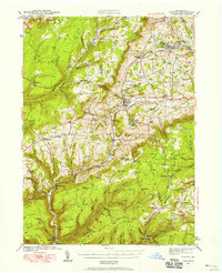
 1953 Eagles Mere1956 Print · USGSCovers Sullivan County, including Picture Rocks, Hillsgrove Township, and other nearby areas3 unique versions available
 - 1954 Map of Williamsport
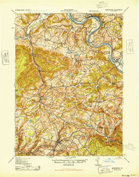
 1954 Williamsport1954 Print · USGSCovers Sullivan County, including Vestal, Williamsport, and other nearby areas
 - 1960 Map of Williamsport
 1960 Williamsport1960 Print · USGSCovers Sullivan County, including Vestal, Williamsport, and other nearby areas
 - 1962 Map of Williamsport, 1966 Print
 1962 Williamsport1966 Print · USGSCovers Sullivan County, including Vestal, Williamsport, and other nearby areas5 unique versions available
 - 1965 Map of Williamsport
 1965 Williamsport1965 Print · USGSCovers Sullivan County, including Vestal, Williamsport, and other nearby areas
 - 1965 Map of Barbours, 1967 Print
 1965 Barbours1967 Print · USGSCovers Sullivan County, including Hillsgrove Township, Proctor, and other nearby areas2 unique versions available
Showing maps 1-25 of 64
Top cities of Sullivan County
- Colley Township historical maps
- Dushore historical maps
- Laporte historical maps
- Hillsgrove Township historical maps
- Eagles Mere historical maps
- Forksville historical maps
Frequently asked questions
- What are the different types of historical maps available for Sullivan County?
- What is the oldest map of Sullivan County?
- Where can I purchase historical maps of Sullivan County for my home or office?
- Where can I download high-res historical maps of Sullivan County?
- Are there historical topographic maps available for Sullivan County?
- Is there historical aerial imagery available for Sullivan County?
- Where are historical maps of Sullivan County sourced from?