2000s (21st Century) Maps of Shrewsbury Township, Pennsylvania
Explore 20 historic maps of Shrewsbury Township from the 2000s (21st Century). These maps offer a rare glimpse into what life looked like during the 2000s — showing old roads, neighborhoods, homes, and landmarks that have changed or disappeared over time.
Whether you're researching your family's past, planning a metal detecting trip, or studying how Shrewsbury Township's landscape evolved across the 2000s, these high-resolution maps are a powerful tool for exploring the history of this region.
- Focus on a specific era: All maps on this page are from the 2000s, giving you a focused view of this time period.
- See what’s changed: Compare century-old streets, trails, and buildings to today's modern landscape using overlays and satellite layers.
- Research with precision: Use these maps for genealogy, historical research, land use analysis, or educational projects.
- View, download, or print: Maps are fully viewable online in high resolution, and can be downloaded or printed for your own records.
Start exploring Shrewsbury Township's history through authentic maps from the 2000s. This is your window into the past.
Shrewsbury Township, PA maps
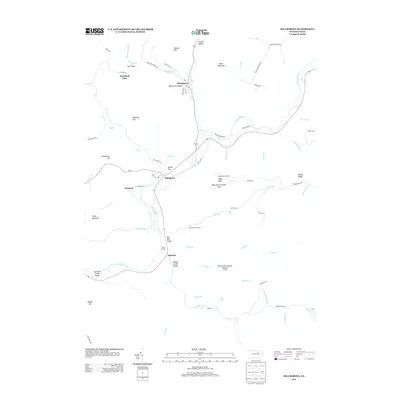
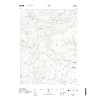
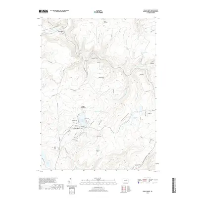
(20)- 2010 Map of Eagles Mere, 2010 Print
 2010 Eagles Mere2010 Print · USGSCovers Shrewsbury Township, including Eagles Mere, Forksville, and other nearby areas
 - 2010 Map of Hillsgrove, 2010 Print
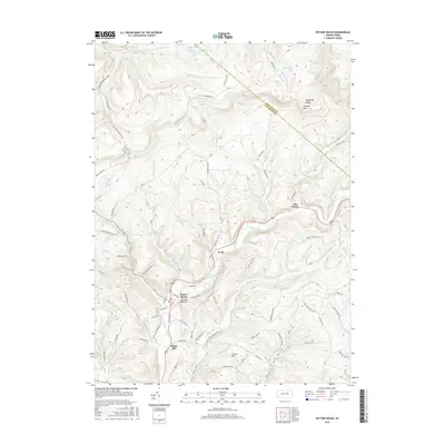
 2010 Hillsgrove2010 Print · USGSCovers Shrewsbury Township, including Hillsgrove Township, Elkland Township, and other nearby areas
 - 2010 Map of Picture Rocks, 2010 Print
 2010 Picture Rocks2010 Print · USGSCovers Shrewsbury Township, including Picture Rocks, Hillsgrove Township, and other nearby areas
 - 2010 Map of Sonestown, 2010 Print
 2010 Sonestown2010 Print · USGSCovers Shrewsbury Township, including Laporte Township, Biggerstown, and other nearby areas
 - 2013 Map of Eagles Mere, 2013 Print
 2013 Eagles Mere2013 Print · USGSCovers Shrewsbury Township, including Eagles Mere, Forksville, and other nearby areas
 - 2013 Map of Sonestown, 2013 Print
 2013 Sonestown2013 Print · USGSCovers Shrewsbury Township, including Laporte Township, Biggerstown, and other nearby areas
 - 2013 Map of Hillsgrove, 2013 Print
 2013 Hillsgrove2013 Print · USGSCovers Shrewsbury Township, including Hillsgrove Township, Elkland Township, and other nearby areas
 - 2013 Map of Picture Rocks, 2013 Print
 2013 Picture Rocks2013 Print · USGSCovers Shrewsbury Township, including Picture Rocks, Hillsgrove Township, and other nearby areas
 - 2016 Map of Picture Rocks, 2016 Print
 2016 Picture Rocks2016 Print · USGSCovers Shrewsbury Township, including Picture Rocks, Hillsgrove Township, and other nearby areas
 - 2016 Map of Eagles Mere, 2016 Print
 2016 Eagles Mere2016 Print · USGSCovers Shrewsbury Township, including Eagles Mere, Forksville, and other nearby areas
 - 2016 Map of Hillsgrove, 2016 Print
 2016 Hillsgrove2016 Print · USGSCovers Shrewsbury Township, including Hillsgrove Township, Elkland Township, and other nearby areas
 - 2016 Map of Sonestown, 2016 Print
 2016 Sonestown2016 Print · USGSCovers Shrewsbury Township, including Laporte Township, Biggerstown, and other nearby areas
 - 2019 Map of Picture Rocks, 2019 Print
 2019 Picture Rocks2019 Print · USGSCovers Shrewsbury Township, including Picture Rocks, Hillsgrove Township, and other nearby areas
 - 2019 Map of Hillsgrove, 2019 Print
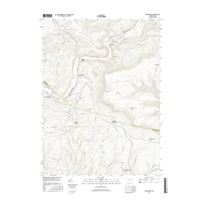
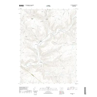 2019 Hillsgrove2019 Print · USGSCovers Shrewsbury Township, including Hillsgrove Township, Elkland Township, and other nearby areas
 - 2019 Map of Sonestown, 2019 Print
 2019 Sonestown2019 Print · USGSCovers Shrewsbury Township, including Laporte Township, Biggerstown, and other nearby areas
 - 2019 Map of Eagles Mere, 2019 Print
 2019 Eagles Mere2019 Print · USGSCovers Shrewsbury Township, including Eagles Mere, Forksville, and other nearby areas
 - 2023 Map of Hillsgrove, 2023 Print
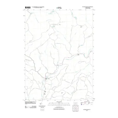
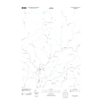
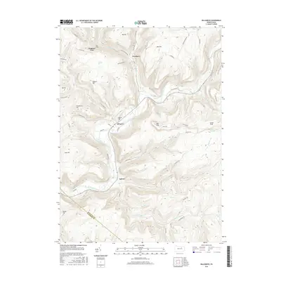
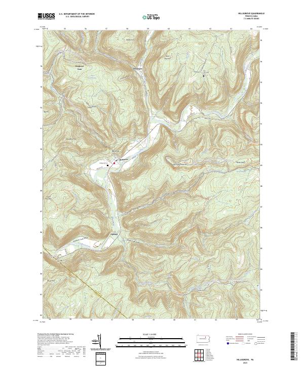 2023 Hillsgrove2023 Print · USGSSullivan County's deep valleys and timbered ridges are captured in this modern survey of the Loyalsock area. Researchers can find family cemeteries and remote settlements such as Hillsgrove, Ogdonia, and the riverfront grounds of Hillsgrove Cem.
 - 2023 Map of Sonestown, 2023 Print
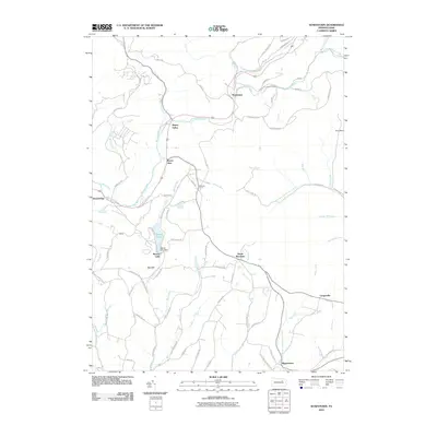
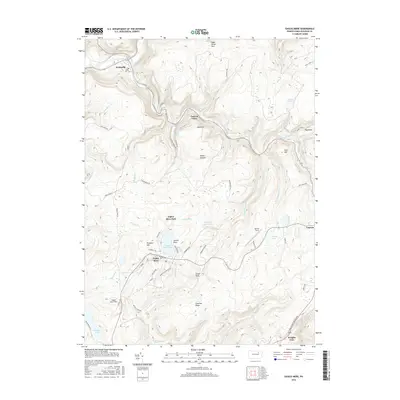
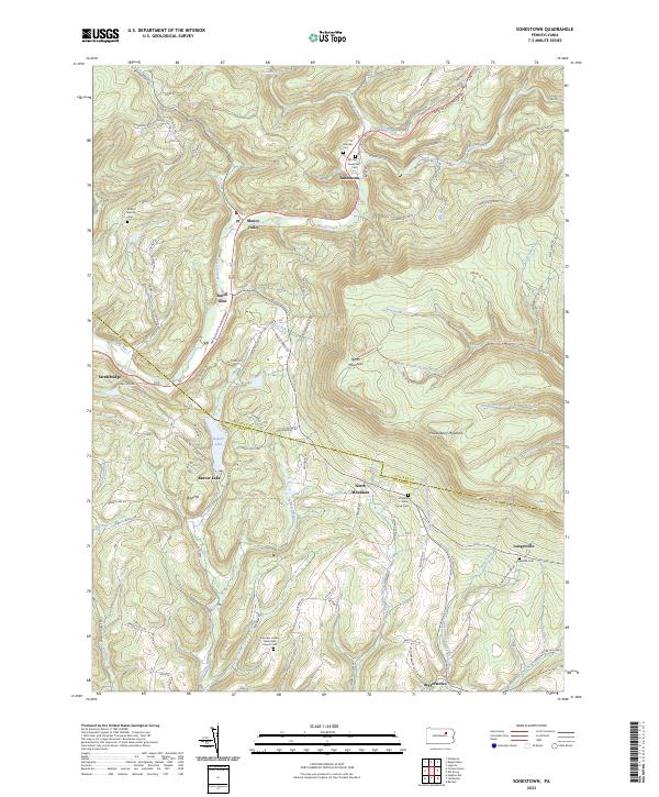 2023 Sonestown2023 Print · USGSSullivan County's high ridges and creek valleys are documented here in the early twenty-first century, showing the enduring rural layout of the region. Researchers can locate family landmarks like the Lungerville Cem and trace the paths through Muncy Valley or along Beaver Lake.
 - 2023 Map of Eagles Mere, 2023 Print
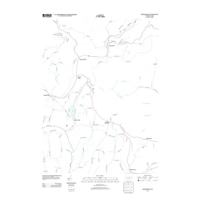
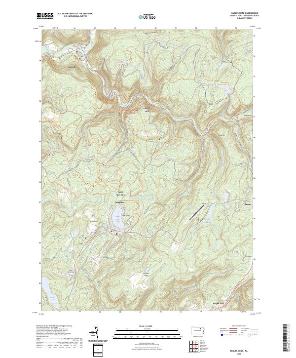 2023 Eagles Mere2023 Print · USGSSullivan County’s high forest plateau is documented here in the early twenty-first century, centered on the historic resort community of Eagles Mere. Genealogists and local historians can trace the town’s residential growth, find the Eagles Mere Cem, and follow the path of the old Conservancy Narrow Gauge Rail-Trl.
 - 2023 Map of Picture Rocks, 2023 Print
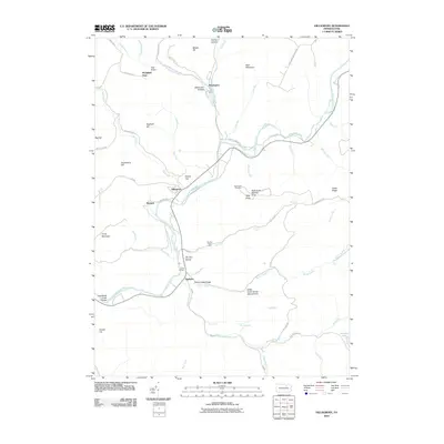
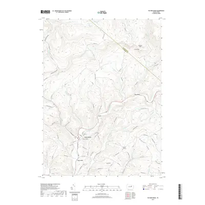
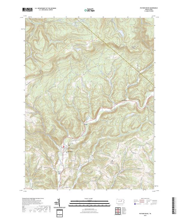 2023 Picture Rocks2023 Print · USGSLycoming County settlements and ridges appear in this 2023 survey of the Muncy Creek valley. Genealogists and hikers can locate Picture Rocks Cem, trace the Loyalsock Trl, or explore the hamlets of Tivoli and Bryan Mill.
End of results
Showing maps 1-20 of 20
Top cities near Shrewsbury Township
- Greenwood Township historical maps
- Moreland Township historical maps
- Benton historical maps
- Jackson Township historical maps
- Picture Rocks historical maps
- Leroy Township historical maps
See more
Frequently asked questions
- What are the different types of historical maps available for Shrewsbury Township?
- What is the oldest map of Shrewsbury Township?
- Where can I purchase historical maps of Shrewsbury Township for my home or office?
- Where can I download high-res historical maps of Shrewsbury Township?
- Are there historical topographic maps available for Shrewsbury Township?
- Is there historical aerial imagery available for Shrewsbury Township?
- Where are historical maps of Shrewsbury Township sourced from?