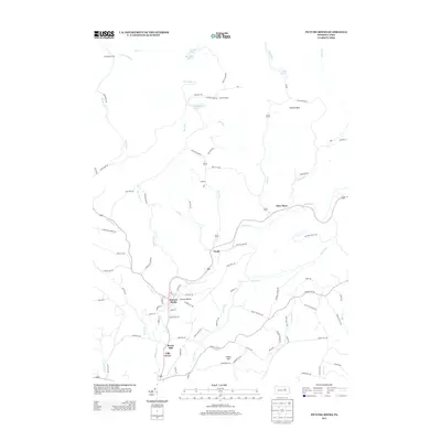
2013 Map of Picture Rocks
USGS Topo · Published 2013About this map
Muncy Creek carves a central valley through this Lycoming County landscape, anchoring the borough of Picture Rocks and the nearby villages of Tivoli and Glen Mawr. The topography is defined by significant ridges and hollows, including Ticklish Rock and the high ground of Frantz Hill. Historically, the settlement pattern follows the water and road corridors, with clusters of development at Bryan Mill and Villa Grove.
Find a feature on this map
98 named features on this map. Tap any name to fly to it.
Don’t see what you’re looking for? This feature index may not catch every label — zoom into the map to look around manually.
Map Details
Editions of this 2013 Picture Rocks Map
This is the sole edition of this map. No revisions or reprints were ever made.
Other maps of this area

1924 · Milton
USGS Topo · 1:62,500

1927 · Eagles Mere
USGS Topo · 1:48,000

1930 · Warrensville
USGS Topo · 1:62,500

1932 · Eagle Mere
USGS Topo · 1:62,500

1934 · Warrensville
USGS Topo · 1:62,500

1935 · Hughesville
USGS Topo · 1:62,500

1953 · Hughesville
USGS Topo · 1:62,500

1953 · Warrensville
USGS Topo · 1:62,500

1953 · Eagles Mere
USGS Topo · 1:62,500

1953 · Milton
USGS Topo · 1:62,500
Featured Places
- Picture Rocks, PA
- Hillsgrove Township, PA
- Tivoli, Shrewsbury Township
- Bryan Mill, Wolf Township
- Villa Grove, Wolf Township