Old Maps of Elk Lake, Dimock Township for Genealogy
Trace your family roots with 16 historic maps of Elk Lake. These high-res maps reveal old neighborhoods, homesites, landmarks, and streets — helping you uncover where your ancestors lived and how the area evolved over time.
- Explore historic neighborhoods: Identify where your relatives may have lived in the 1800s or 1900s.
- Compare maps over time: Trace the changes in streets, buildings, and landmarks for multi-generational research.
- Perfect for genealogy & ancestry research: Used by family historians and researchers to map out lineage and migration.
These maps are an incredible resource for exploring your personal connection to Elk Lake's past.
Elk Lake, Dimock Township maps
(16)- 1943 Map of Montrose, 1957 Print
 1943 Montrose1957 Print · USGSSusquehanna County at the height of the mid-century railroad era shows a landscape of upland farms and valley rail junctions. Researchers can locate long-standing family landmarks and rural hubs like South Montrose, the Lehigh Valley line, and Prospect Hill Cem.3 unique versions available
 - 1945 Map of Montrose
 1945 Montrose1945 Print · USGSSusquehanna County is shown in the mid-1940s as a landscape of rural schoolhouses and established rail corridors. Genealogists and historians can locate family landmarks such as Prospect Hill Cem, tracing the paths between Montrose and the mills at Snows Mill.2 unique versions available
 - 1950 Map of Scranton, 1952 Print
 1950 Scranton1952 Print · USGSMid-century Northeast Pennsylvania and the Hudson Valley come alive in this survey of the tri-state region. Genealogists and historians can trace the dense rail networks of the Erie RR and DL&W RR between industrial hubs like Scranton and Wilkes-Barre.
 - 1953 Map of Scranton
 1953 Scranton1953 Print · USGSNortheastern Pennsylvania and the Catskills are shown in great detail during the early fifties, a time when rail lines and river valleys dictated the region's growth. Genealogists and historians can trace the industrial hearts of Scranton and Wilkes-Barre or locate remote landmarks like High Point and Lake Wallenpaupack.
 - 1959 Map of Scranton
 1959 Scranton1959 Print · USGSThe northern coalfields and the Hudson Valley meet in this mid-century survey of the Pennsylvania and New York borderlands. Genealogists and historians can trace the intricate rail networks of the Erie Railroad and the vast waters of Lake Wallenpaupack.2 unique versions available
 - 1962 Map of Scranton, 1977 Print
 1962 Scranton1977 Print · USGSThe industrial heart of eastern Pennsylvania and the New York Catskills are captured here in the early sixties. Genealogists and historians can trace the dense valley settlements from Scranton to Wilkes-Barre and the rail lines of the Erie Lackawanna Railroad.2 unique versions available
 - 1965 Map of Scranton
 1965 Scranton1965 Print · USGSThe tri-state highlands of Pennsylvania, New York, and New Jersey come alive in the mid-sixties as industry and recreation converge. Trace the intricate rail lines of the Erie Lackawanna RR or locate landmarks like the U S Military Academy.2 unique versions available
 - 1967 Map of Montrose West, 1971 Print
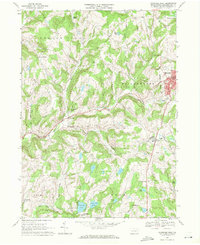 1967 Montrose West1971 Print · USGSSusquehanna County in the late sixties reveals a landscape of upland farms and valley industry centered around Montrose. Researchers can trace family sites near Prospect Hill Cem, follow the Lehigh Valley rail corridor, or locate landmarks like Snows Mill and Zaverton Airfield.
 - 1968 Map of Montrose West, 1978 Print
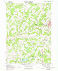 1968 Montrose West1978 Print · USGSSusquehanna County hills and small-town centers appear as they were in the late sixties and seventies. Researchers can trace the Lehigh Valley rail corridor, locate family plots at Prospect Hill Cem, or explore rural hamlets like Fairdale and Snows Mill.
 - 1986 Map of Honesdale
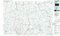 1986 Honesdale1986 Print · USGSNortheastern Pennsylvania and the New York borderlands appear here in the mid-1980s, during a period of transition for the region's industrial river valleys. Genealogists can trace family connections across the Moosic Mountains between the coal towns of Carbondale and the canal-era heritage of Honesdale.2 unique versions available
 - 1994 Map of Montrose West, 1995 Print
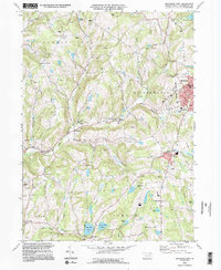 1994 Montrose West1995 Print · USGSSusquehanna County’s ridge-and-valley landscape was well-established by the mid-1990s, centering on the administrative hub of Montrose. Researchers can trace old family sites and rural infrastructure from Bumps Corners and Snows Mill to Zaverton Airport and North Hill Cem.2 unique versions available
 - 2010 Map of Montrose West, 2010 Print
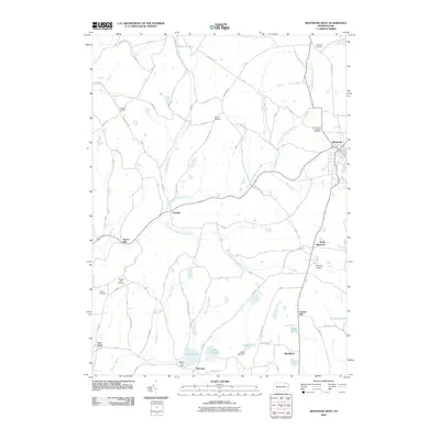 2010 Montrose West2010 Print · USGSSusquehanna County’s rolling landscape near the turn of the twenty-first century is defined by its winding creek branches and quiet rural settlements. Researchers can trace family history through sites like North Hill Cemetery, Snows Mill, and the many farms along Fair Hill Rd.
 - 2013 Map of Montrose West, 2013 Print
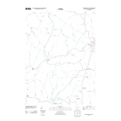 2013 Montrose West2013 Print · USGSSusquehanna County at the start of the 2010s shows a landscape of plateau settlements and glacial lakes. Researchers can trace rural lineages through local hubs like Fairdale and South Montrose or locate family landmarks near Big Elk Lake and Snows Mill.
 - 2016 Map of Montrose West, 2016 Print
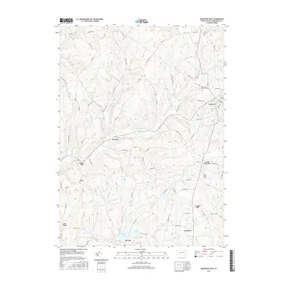 2016 Montrose West2016 Print · USGSSusquehanna County in the mid-2010s reveals a landscape of high ridges and quiet glacial lakes. Genealogists and local historians can trace family-named sites like Snows Mill and Louden Hill, or locate ancestral plots at North Hill Cem and Prospect Hill Cem.
 - 2019 Map of Montrose West, 2019 Print
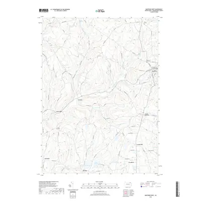 2019 Montrose West2019 Print · USGSMontrose and the surrounding townships of Susquehanna County are shown here in the late twenty-first century, centered on the historic county seat. Researchers can locate family sites near the Susquehanna County Courthouse, Fairdale, or the shores of Big Elk Lake.
 - 2023 Map of Montrose West, 2023 Print
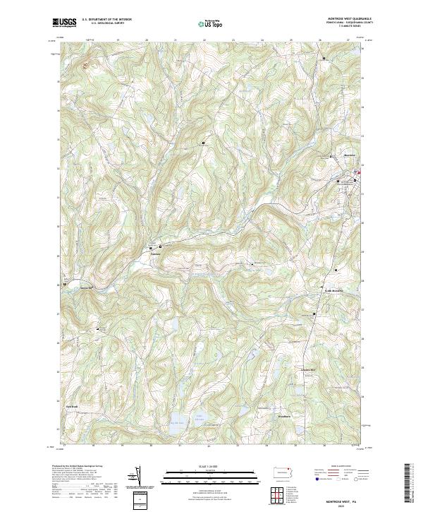 2023 Montrose West2023 Print · USGSSusquehanna County remains a region of quiet hamlets and family-named ridges in this contemporary view of the Pennsylvania uplands. Genealogists and local historians can locate several family burial sites, including Cornwell Family Cem, and trace the waters of Big Elk Lake or Forest Lake Creek.
End of results
Showing maps 1-16 of 16
Top cities near Elk Lake
- Bridgewater Township historical maps
- Lenox Township historical maps
- Tunkhannock historical maps
- Springville Township historical maps
- Silver Lake Township historical maps
- Glenburn Township historical maps
See more
Frequently asked questions
- What are the different types of historical maps available for Elk Lake?
- What is the oldest map of Elk Lake?
- Where can I purchase historical maps of Elk Lake for my home or office?
- Where can I download high-res historical maps of Elk Lake?
- Are there historical topographic maps available for Elk Lake?
- Is there historical aerial imagery available for Elk Lake?
- Where are historical maps of Elk Lake sourced from?