Old Maps of Franklin Township, Pennsylvania for Academic Research
Study the evolution of Franklin Township with 37 high-resolution historic maps. Whether you're teaching, researching, or modeling changes in land use, these maps provide essential visual documentation of urban, environmental, and geographic change.
- Analyze long-term change: Track patterns in development, transportation, and natural features.
- Ideal for environmental or urban studies: Support academic projects with primary historical map data.
- Use in the classroom or lab: Educators and researchers rely on these maps to bring historical context to life.
These maps are a powerful tool for teaching, research, and visualizing how Franklin Township has changed over the decades.
Franklin Township, PA maps
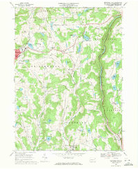
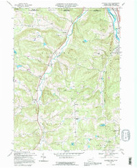
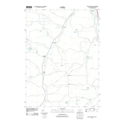
(37)- 1943 Map of Montrose, 1957 Print
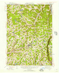 1943 Montrose1957 Print · USGSSusquehanna County at the height of the mid-century railroad era shows a landscape of upland farms and valley rail junctions. Researchers can locate long-standing family landmarks and rural hubs like South Montrose, the Lehigh Valley line, and Prospect Hill Cem.3 unique versions available
 - 1945 Map of Montrose
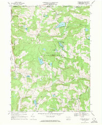
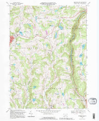
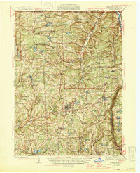 1945 Montrose1945 Print · USGSSusquehanna County is shown in the mid-1940s as a landscape of rural schoolhouses and established rail corridors. Genealogists and historians can locate family landmarks such as Prospect Hill Cem, tracing the paths between Montrose and the mills at Snows Mill.2 unique versions available
 - 1950 Map of Scranton, 1952 Print
 1950 Scranton1952 Print · USGSMid-century Northeast Pennsylvania and the Hudson Valley come alive in this survey of the tri-state region. Genealogists and historians can trace the dense rail networks of the Erie RR and DL&W RR between industrial hubs like Scranton and Wilkes-Barre.
 - 1953 Map of Scranton
 1953 Scranton1953 Print · USGSNortheastern Pennsylvania and the Catskills are shown in great detail during the early fifties, a time when rail lines and river valleys dictated the region's growth. Genealogists and historians can trace the industrial hearts of Scranton and Wilkes-Barre or locate remote landmarks like High Point and Lake Wallenpaupack.
 - 1959 Map of Scranton
 1959 Scranton1959 Print · USGSThe northern coalfields and the Hudson Valley meet in this mid-century survey of the Pennsylvania and New York borderlands. Genealogists and historians can trace the intricate rail networks of the Erie Railroad and the vast waters of Lake Wallenpaupack.2 unique versions available
 - 1962 Map of Scranton, 1977 Print
 1962 Scranton1977 Print · USGSThe industrial heart of eastern Pennsylvania and the New York Catskills are captured here in the early sixties. Genealogists and historians can trace the dense valley settlements from Scranton to Wilkes-Barre and the rail lines of the Erie Lackawanna Railroad.2 unique versions available
 - 1965 Map of Scranton
 1965 Scranton1965 Print · USGSThe tri-state highlands of Pennsylvania, New York, and New Jersey come alive in the mid-sixties as industry and recreation converge. Trace the intricate rail lines of the Erie Lackawanna RR or locate landmarks like the U S Military Academy.2 unique versions available
 - 1967 Map of Montrose West, 1971 Print
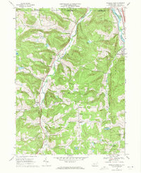
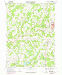
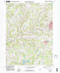
 1967 Montrose West1971 Print · USGSSusquehanna County in the late sixties reveals a landscape of upland farms and valley industry centered around Montrose. Researchers can trace family sites near Prospect Hill Cem, follow the Lehigh Valley rail corridor, or locate landmarks like Snows Mill and Zaverton Airfield.
 - 1968 Map of Franklin Forks, 1971 Print
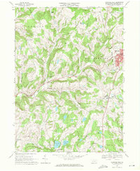
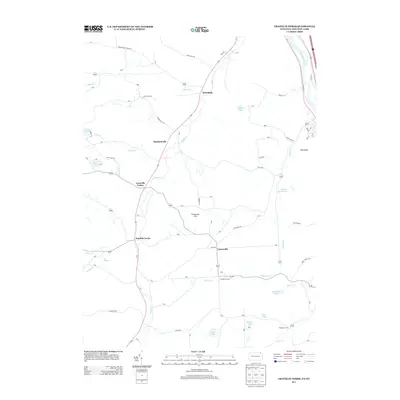
 1968 Franklin Forks1971 Print · USGSNorthern Susquehanna County is captured in the late sixties as a landscape of hillside quarries and winding valley roads. Genealogists can locate family landmarks like Franklin Hill Ch or trace the Erie-Lackawanna line near Brookdale.3 unique versions available
 - 1968 Map of Montrose East, 1971 Print
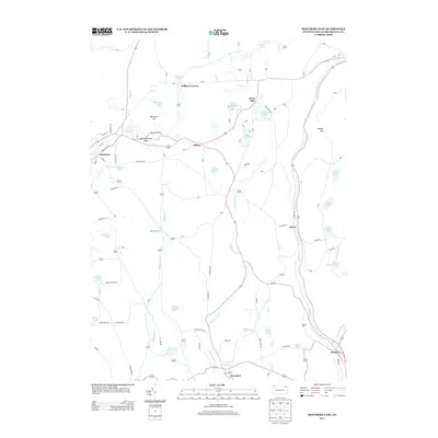
 1968 Montrose East1971 Print · USGSSusquehanna County at the end of the sixties shows a landscape of small dairy-era settlements and active extraction. Researchers can trace the Erie-Lackawanna Railroad route or locate family roots at Newton Hill Cem and East Bridgewater Ch.2 unique versions available
 - 1968 Map of Laurel Lake, 1971 Print
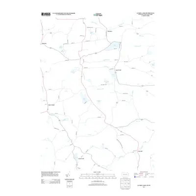
 1968 Laurel Lake1971 Print · USGSUpper Susquehanna County is captured here in the late sixties as a land of glacial lakes and quiet upland hamlets. Genealogists and local historians can locate family plots at Quaker Lake Cemetery or trace the early rural footprint of St Joseph and Fisk Mill.2 unique versions available
 - 1968 Map of Montrose West, 1978 Print
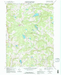
 1968 Montrose West1978 Print · USGSSusquehanna County hills and small-town centers appear as they were in the late sixties and seventies. Researchers can trace the Lehigh Valley rail corridor, locate family plots at Prospect Hill Cem, or explore rural hamlets like Fairdale and Snows Mill.
 - 1986 Map of Honesdale
 1986 Honesdale1986 Print · USGSNortheastern Pennsylvania and the New York borderlands appear here in the mid-1980s, during a period of transition for the region's industrial river valleys. Genealogists can trace family connections across the Moosic Mountains between the coal towns of Carbondale and the canal-era heritage of Honesdale.2 unique versions available
 - 1992 Map of Laurel Lake, 1995 Print
 1992 Laurel Lake1995 Print · USGSSusquehanna County highland life at the New York border is preserved here, showing a landscape defined by glacial waters and rural industry. Trace family roots at St Augustine Ch or Brackney Cem, and locate old landmarks like Fisk Mill and Silver Lake.
 - 1992 Map of Franklin Forks, 1995 Print
 1992 Franklin Forks1995 Print · USGSSusquehanna County near the New York border shows a landscape of small farming hamlets and active stone extraction in the mid-1990s. Genealogists and local researchers can locate Franklin Forks, Mountain Valley Cem, and the rural crossroads of Upsonville.
 - 1992 Map of Montrose East, 1995 Print
 1992 Montrose East1995 Print · USGSSusquehanna County in the early nineties shows a landscape of clustered hill-country settlements and upland glacial lakes. Trace the paths of the Old Railroad Grade and find historic landmarks like Newton Hill Cem and East Bridgewater Ch.
 - 1994 Map of Montrose West, 1995 Print
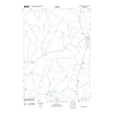
 1994 Montrose West1995 Print · USGSSusquehanna County’s ridge-and-valley landscape was well-established by the mid-1990s, centering on the administrative hub of Montrose. Researchers can trace old family sites and rural infrastructure from Bumps Corners and Snows Mill to Zaverton Airport and North Hill Cem.2 unique versions available
 - 2010 Map of Laurel Lake, 2010 Print
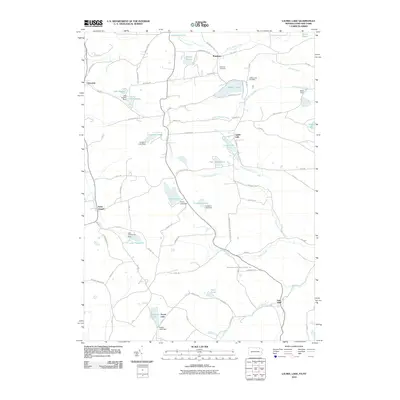 2010 Laurel Lake2010 Print · USGSCovers Franklin Township, including Vestal, Binghamton, and other nearby areas
 - 2010 Map of Franklin Forks, 2010 Print
 2010 Franklin Forks2010 Print · USGSCovers Franklin Township, including Kirkwood, Conklin, and other nearby areas
 - 2010 Map of Montrose West, 2010 Print
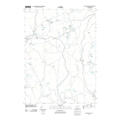
 2010 Montrose West2010 Print · USGSCovers Franklin Township, including Bridgewater Township, Rush Township, and other nearby areas
 - 2010 Map of Montrose East, 2010 Print
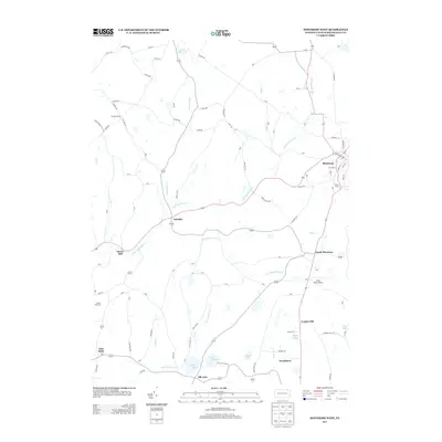
 2010 Montrose East2010 Print · USGSCovers Franklin Township, including Bridgewater Township, Harford Township, and other nearby areas
 - 2013 Map of Montrose West, 2013 Print
 2013 Montrose West2013 Print · USGSCovers Franklin Township, including Bridgewater Township, Rush Township, and other nearby areas
 - 2013 Map of Laurel Lake, 2013 Print
 2013 Laurel Lake2013 Print · USGSCovers Franklin Township, including Vestal, Binghamton, and other nearby areas
 - 2013 Map of Franklin Forks, 2013 Print
 2013 Franklin Forks2013 Print · USGSCovers Franklin Township, including Kirkwood, Conklin, and other nearby areas
 - 2013 Map of Montrose East, 2013 Print
 2013 Montrose East2013 Print · USGSCovers Franklin Township, including Bridgewater Township, Harford Township, and other nearby areas
Showing maps 1-25 of 37
Top cities near Franklin Township
- Union historical maps
- Binghamton historical maps
- Vestal historical maps
- Johnson City historical maps
- Endicott historical maps
- Endwell historical maps
See more
Top neighborhoods of Franklin Township
Frequently asked questions
- What are the different types of historical maps available for Franklin Township?
- What is the oldest map of Franklin Township?
- Where can I purchase historical maps of Franklin Township for my home or office?
- Where can I download high-res historical maps of Franklin Township?
- Are there historical topographic maps available for Franklin Township?
- Is there historical aerial imagery available for Franklin Township?
- Where are historical maps of Franklin Township sourced from?