Old Maps of Jackson Township, Pennsylvania for Academic Research
Study the evolution of Jackson Township with 36 high-resolution historic maps. Whether you're teaching, researching, or modeling changes in land use, these maps provide essential visual documentation of urban, environmental, and geographic change.
- Analyze long-term change: Track patterns in development, transportation, and natural features.
- Ideal for environmental or urban studies: Support academic projects with primary historical map data.
- Use in the classroom or lab: Educators and researchers rely on these maps to bring historical context to life.
These maps are a powerful tool for teaching, research, and visualizing how Jackson Township has changed over the decades.
Jackson Township, PA maps
(36)- 1932 Map of Susquehanna, 1959 Print
 1932 Susquehanna1959 Print · USGSSusquehanna County at the start of the 1930s is a landscape of thriving rail junctions and upland farming crossroads. Researchers can trace the path of the Erie RR through Lanesboro or locate rural landmarks like Sweet Chapel and the Lamb Cem.
 - 1935 Map of Susquehanna
 1935 Susquehanna1935 Print · USGSThe Susquehanna River valley in the 1930s was a bustling corridor of heavy rail and industrial settlements along the New York border. Genealogists and historians can trace family homesteads near rural schools like Oak Hill Sch and early transit routes like the Newburg Turnpike.3 unique versions available
 - 1950 Map of Scranton, 1952 Print
 1950 Scranton1952 Print · USGSMid-century Northeast Pennsylvania and the Hudson Valley come alive in this survey of the tri-state region. Genealogists and historians can trace the dense rail networks of the Erie RR and DL&W RR between industrial hubs like Scranton and Wilkes-Barre.
 - 1953 Map of Scranton
 1953 Scranton1953 Print · USGSNortheastern Pennsylvania and the Catskills are shown in great detail during the early fifties, a time when rail lines and river valleys dictated the region's growth. Genealogists and historians can trace the industrial hearts of Scranton and Wilkes-Barre or locate remote landmarks like High Point and Lake Wallenpaupack.
 - 1959 Map of Scranton
 1959 Scranton1959 Print · USGSThe northern coalfields and the Hudson Valley meet in this mid-century survey of the Pennsylvania and New York borderlands. Genealogists and historians can trace the intricate rail networks of the Erie Railroad and the vast waters of Lake Wallenpaupack.2 unique versions available
 - 1962 Map of Scranton, 1977 Print
 1962 Scranton1977 Print · USGSThe industrial heart of eastern Pennsylvania and the New York Catskills are captured here in the early sixties. Genealogists and historians can trace the dense valley settlements from Scranton to Wilkes-Barre and the rail lines of the Erie Lackawanna Railroad.2 unique versions available
 - 1965 Map of Scranton
 1965 Scranton1965 Print · USGSThe tri-state highlands of Pennsylvania, New York, and New Jersey come alive in the mid-sixties as industry and recreation converge. Trace the intricate rail lines of the Erie Lackawanna RR or locate landmarks like the U S Military Academy.2 unique versions available
 - 1968 Map of Susquehanna, 1970 Print
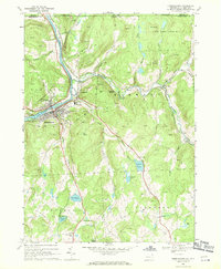 1968 Susquehanna1970 Print · USGSSusquehanna and Oakland are shown at a peak of rail and quarry activity in the late 1960s. Genealogists can locate family landmarks like St Johns Cem, North Jackson Cem, and the Susquehanna Consolidated Sch.4 unique versions available
 - 1968 Map of Harford, 1970 Print
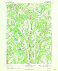 1968 Harford1970 Print · USGSSusquehanna County is captured here in the late sixties as the new interstate highway began to reshape this rural landscape. Genealogists and local historians can trace family-named crossroads like Moxley Corners and Wellmans Corners or locate Sweet Chapel and Peck Cem.2 unique versions available
 - 1968 Map of Great Bend, 1971 Print
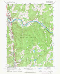 1968 Great Bend1971 Print · USGSThe Susquehanna River valley and northern Pennsylvania highlands come into focus in the late sixties as modern highways began to bypass historic rail towns. Genealogists and hikers can trace old routes to Locust Hill Ch, the remote Highland Cem, or the hilltop Maple Ridge settlement.3 unique versions available
 - 1968 Map of Thompson, 1971 Print
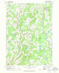 1968 Thompson1971 Print · USGSUpper Susquehanna County is captured here in the late sixties, showing a landscape defined by parallel rail lines and high ridges. Researchers can trace historical routes like the Old Newburgh and Cochecton Turnpike and find local landmarks such as Aldrich Airfield and Fairmount Cem.2 unique versions available
 - 1986 Map of Honesdale
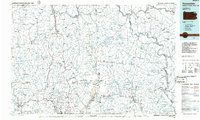 1986 Honesdale1986 Print · USGSNortheastern Pennsylvania and the New York borderlands appear here in the mid-1980s, during a period of transition for the region's industrial river valleys. Genealogists can trace family connections across the Moosic Mountains between the coal towns of Carbondale and the canal-era heritage of Honesdale.2 unique versions available
 - 1992 Map of Harford, 1995 Print
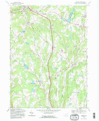 1992 Harford1995 Print · USGSNortheastern Pennsylvania’s crossroads and farm country are captured here during the 1990s as the region balanced its rural character with modern transit. Genealogists can trace family landmarks and historic hamlets from Sweet Chapel to Kentuck Corners and Steinbachs Corners.2 unique versions available
 - 1992 Map of Great Bend, 1995 Print
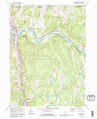 1992 Great Bend1995 Print · USGSSusquehanna County at the New York border shows a landscape of river loops and ridges in the early 1990s. Local researchers can locate family sites near Brushville, Hickory Grove, and Highland Cem or trace the Conrail line through Hallstead.
 - 1994 Map of Susquehanna, 1995 Print
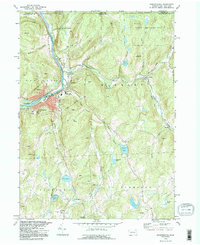 1994 Susquehanna1995 Print · USGSSusquehanna and Oakland sit at a major river bend during the late twentieth century, showing a landscape shaped by stone quarries and rail history. Trace local genealogy and industry through St Johns Cem, the Old Railroad Grade, and Lanesboro.
 - 1994 Map of Thompson, 1995 Print
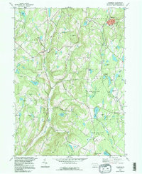 1994 Thompson1995 Print · USGSSusquehanna County in the mid-1990s retains its rural character, defined by upland ridges and historic turnpikes. Trace local family history at Jackson Cem and St Martins Ch, or follow the waters of Tunkhannock Creek through the hills.
 - 2010 Map of Great Bend, 2010 Print
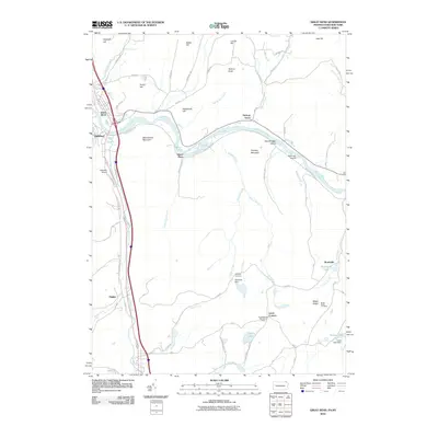 2010 Great Bend2010 Print · USGSThe Susquehanna River bend dominates this northern border region as it appeared in the early 2000s. Genealogists and local historians can trace family locations near Highland Cemetery, Hickory Grove, and the small settlement of Tingley.
 - 2010 Map of Thompson, 2010 Print
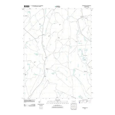 2010 Thompson2010 Print · USGSSusquehanna County hills and headwaters are captured here in the early twenty-first century, showing a network of small upland settlements. Researchers can locate family landmarks like Fairmount Cemetery, trace the Old Newburg Tpke, or explore the shores of Fiddle Lake and Hathaway Lake.
 - 2010 Map of Susquehanna, 2010 Print
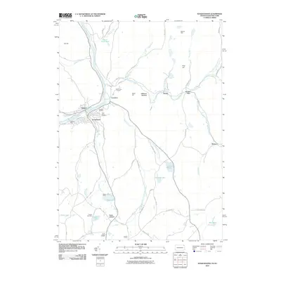 2010 Susquehanna2010 Print · USGSThe river and rail corridor of the northern Susquehanna Valley is captured here in the early twenty-first century. Genealogists and local historians can trace family plots at Evergreen Cemetery or explore the geography of Lanesboro, Oakland, and Raskelly Corners.
 - 2010 Map of Harford, 2010 Print
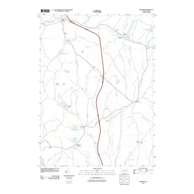 2010 Harford2010 Print · USGSSusquehanna County’s lake country is captured here in the early twenty-first century, showing a landscape of scattered rural hamlets and private aviation. Genealogists and local historians can trace family-named sites like Peck Cemetery, Moxley Corners, and the heritage grounds of Old Mill Village.
 - 2013 Map of Harford, 2013 Print
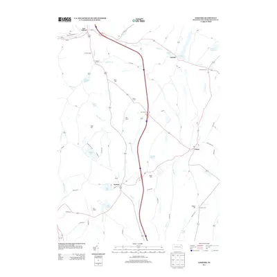 2013 Harford2013 Print · USGSSusquehanna County remains a landscape of historic hamlets and glacial lakes in this early twenty-first-century record. Researchers can trace the layout of Harford and Gibson or locate small landmarks like Old Mill Village and Tyler Airport.
 - 2013 Map of Thompson, 2013 Print
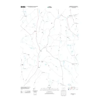 2013 Thompson2013 Print · USGSSusquehanna County’s quiet hills and glacial lakes are captured here in the early twenty-first century. Genealogists and local historians can trace the rural road networks connecting Gelatt, Smiley, and Ararat, or locate family landmarks near Fiddle Lake and Pickering Pond.
 - 2013 Map of Susquehanna, 2013 Print
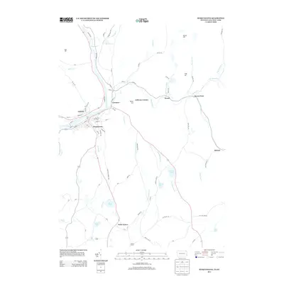 2013 Susquehanna2013 Print · USGSThis early twenty-first-century view of the upper Susquehanna valley traces the long-standing settlements of Susquehanna and Oakland along the river. Genealogists and historians can locate family landmarks like Raskelly Corners or follow the historic Lenox and Harmony Tpke.
 - 2013 Map of Great Bend, 2013 Print
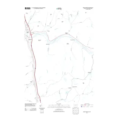 2013 Great Bend2013 Print · USGSThe northern border of Pennsylvania meets New York along the winding Susquehanna River in this modern topographic study. Genealogists and local historians can trace family locations across Great Bend, Hallstead, and smaller settlements like Tingley or Brushville.
 - 2016 Map of Great Bend, 2016 Print
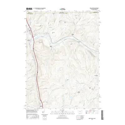 2016 Great Bend2016 Print · USGSSusquehanna County at the New York border is shown here as the river makes its great northerly arc past Great Bend and Hallstead. Researchers can trace the upland settlements of Lewis Corners and Brushville or locate family plots at Highland Cem.
Showing maps 1-25 of 36
Top cities near Jackson Township
- Windsor historical maps
- Kirkwood historical maps
- Conklin historical maps
- Bridgewater Township historical maps
- Clifford Township historical maps
- Sanford historical maps
See more
Top neighborhoods of Jackson Township
Frequently asked questions
- What are the different types of historical maps available for Jackson Township?
- What is the oldest map of Jackson Township?
- Where can I purchase historical maps of Jackson Township for my home or office?
- Where can I download high-res historical maps of Jackson Township?
- Are there historical topographic maps available for Jackson Township?
- Is there historical aerial imagery available for Jackson Township?
- Where are historical maps of Jackson Township sourced from?