2020s Maps of Union Township, Pennsylvania
Explore 5 historic maps of Union Township from the 2020s. These maps offer a rare glimpse into what life looked like during the 2020s — showing old roads, neighborhoods, homes, and landmarks that have changed or disappeared over time.
Whether you're researching your family's past, planning a metal detecting trip, or studying how Union Township's landscape evolved across the 2020s, these high-resolution maps are a powerful tool for exploring the history of this region.
- Focus on a specific era: All maps on this page are from the 2020s, giving you a focused view of this time period.
- See what’s changed: Compare century-old streets, trails, and buildings to today's modern landscape using overlays and satellite layers.
- Research with precision: Use these maps for genealogy, historical research, land use analysis, or educational projects.
- View, download, or print: Maps are fully viewable online in high resolution, and can be downloaded or printed for your own records.
Start exploring Union Township's history through authentic maps from the 2020s. This is your window into the past.
Union Township, PA maps
(5)- 2023 Map of Gleason, 2023 Print
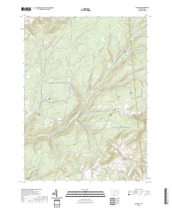 2023 Gleason2023 Print · USGSTioga County is captured in this contemporary survey of the high plateaus and creek valleys along the Bradford County border. Genealogists and local historians can trace family roots through several small burial grounds like North Union Cem, Segur Cem, and Fallbrook Cem.
 - 2023 Map of Ralston, 2023 Print
 2023 Ralston2023 Print · USGSNorthern Lycoming County settlements follow the path of Lycoming Creek in this contemporary survey of the Pennsylvania mountains. Genealogists can locate numerous burial sites such as Ralston Cem, Mcintyre Cem, and Newelltown Cem.
 - 2023 Map of Liberty, 2023 Print
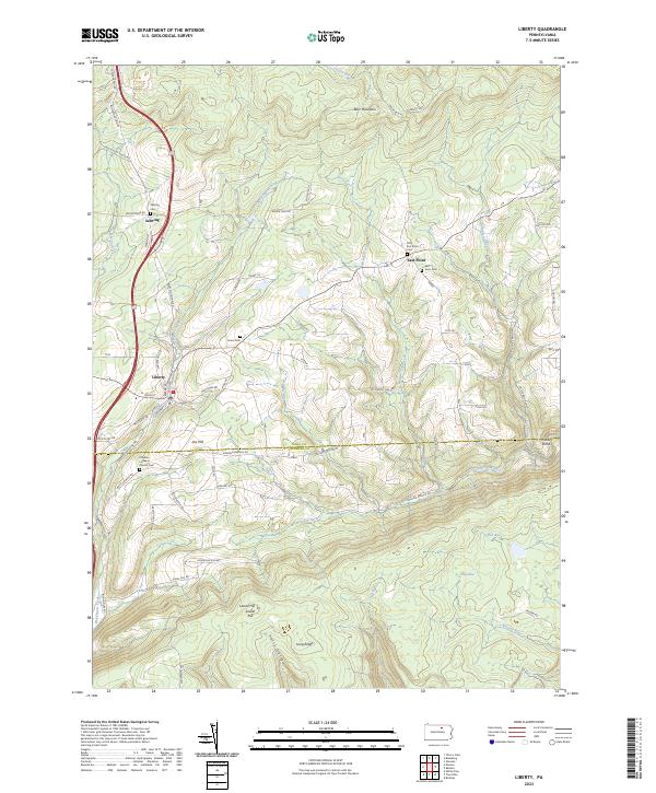 2023 Liberty2023 Print · USGSThe borderlands of Tioga and Lycoming counties remain a rugged rural landscape in the twenty-first century. Genealogists and local researchers can trace family lines through numerous sites like Friedens Lutheran Church Cem, Jew Hill, and the small community of East Point.
 - 2023 Map of Grover, 2023 Print
 2023 Grover2023 Print · USGSThe high ridges of Lycoming and Bradford Counties come alive in this recent survey of the Endless Mountains region. Researchers can trace family history at Rutty Cem or explore the mountain hamlets of Grover and Ellenton along the Old Railroad Grade Rd.
 - 2023 Map of Blossburg, 2023 Print
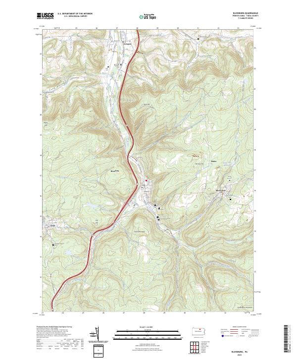 2023 Blossburg2023 Print · USGSTioga County's coal-country settlements are captured here in the contemporary era. Researchers can trace family history through a dense network of local burial sites like Gray Cem, Morris Run Cem, and the Saint Josephs Cem.
End of results
Showing maps 1-5 of 5
Top cities near Union Township
- Mansfield historical maps
- Canton historical maps
- Troy historical maps
- Blossburg historical maps
- Springfield Township historical maps
- Covington historical maps
See more
Top neighborhoods of Union Township
- South Union historical maps
- Gleason historical maps
- Newelltown historical maps
- Ogdensburg historical maps
- Union Center historical maps
- Penbryn historical maps
See more
Frequently asked questions
- What are the different types of historical maps available for Union Township?
- What is the oldest map of Union Township?
- Where can I purchase historical maps of Union Township for my home or office?
- Where can I download high-res historical maps of Union Township?
- Are there historical topographic maps available for Union Township?
- Is there historical aerial imagery available for Union Township?
- Where are historical maps of Union Township sourced from?