Old Maps of Mineral Township, Pennsylvania for Academic Research
Study the evolution of Mineral Township with 26 high-resolution historic maps. Whether you're teaching, researching, or modeling changes in land use, these maps provide essential visual documentation of urban, environmental, and geographic change.
- Analyze long-term change: Track patterns in development, transportation, and natural features.
- Ideal for environmental or urban studies: Support academic projects with primary historical map data.
- Use in the classroom or lab: Educators and researchers rely on these maps to bring historical context to life.
These maps are a powerful tool for teaching, research, and visualizing how Mineral Township has changed over the decades.
Mineral Township, PA maps
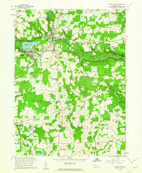
(26)- 1909 Map of Franklin, 1956 Print
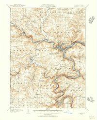 1909 Franklin1956 Print · USGSVenango County at the dawn of the twentieth century is a landscape defined by the deep meanders of the Allegheny River and a dense network of competing railroads. Genealogists can trace rural life through numerous landmarks like Five Points School, Hickory Grove Church, and the State Institute for Feeble Minded at Polk.2 unique versions available
 - 1911 Map of Franklin
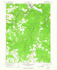
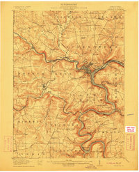 1911 Franklin1911 Print · USGSVenango County at the peak of the rail era shows the busy confluence of the Allegheny River and French Creek. Trace the legacy of early industrial settlements like Coal City, family landmarks at McKenzie Cors, and the grounds of the State Institute for Feeble Minded.4 unique versions available
 - 1911 Map of Stoneboro, 1960 Print
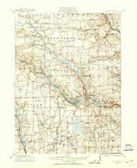 1911 Stoneboro1960 Print · USGSMercer County at the height of its rural rail era was a dense network of farming hamlets and local schools. Genealogists can trace family names at Williams Corners, find many one-room schools like Ross School, or locate the hamlet of Fiddlers Green.
 - 1913 Map of Stoneboro
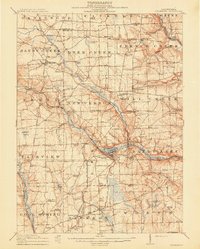 1913 Stoneboro1913 Print · USGSMercer County at the turn of the century shows a landscape of river-valley agriculture and developing rail lines. Researchers can trace family history through dozens of rural schools like Pike School and settlements such as Sheakleyville or Fiddlers Green.5 unique versions available
 - 1943 Map of Stoneboro
 1943 Stoneboro1943 Print · USGSMercer County during the Second World War remains a patchwork of rail-side boroughs and family crossroads. Researchers can trace the legacy of early industry and education through landmarks like Reeds Furnace, Stoneboro, and the many rural schoolhouses like Kerrtown Sch.
 - 1950 Map of Cleveland
 1950 Cleveland1950 Print · USGSCovers Mineral Township, including Cleveland, Akron, and other nearby areas
 - 1956 Map of Cleveland, 1967 Print
 1956 Cleveland1967 Print · USGSNortheast Ohio and Western Pennsylvania are shown at their industrial height during the mid-fifties, from the steel mills to the lakeshore. Researchers can trace the massive Ravenna Arsenal, the Ohio Turnpike, and vanished rail sidings of the B & O RR.3 unique versions available
 - 1957 Map of Warren, 1964 Print
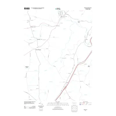
 1957 Warren1964 Print · USGSThe northern Pennsylvania oil and timber country comes into focus in the mid-fifties, showing the region before modern highway expansions. Trace the industrial rail networks of the Pennsylvania RR and the early Allegheny River Reservoir near Warren and Oil City.4 unique versions available
 - 1958 Map of Warren
 1958 Warren1958 Print · USGSNorthern Pennsylvania’s timber and oil country is captured here during the late fifties, showing the interplay of industrial valleys and vast state forests. Genealogists can trace family connections across the Cornplanter Indian Reservation or through rail hubs like Oil City and Saint Marys.
 - 1959 Map of Warren
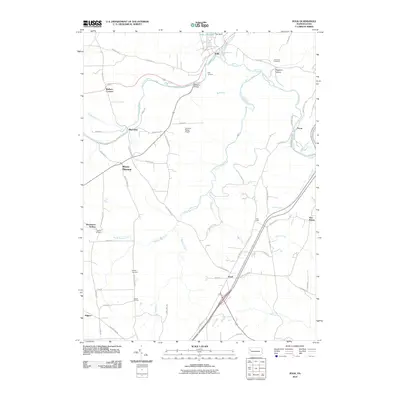
 1959 Warren1959 Print · USGSNorthern Pennsylvania's oil and timber country comes alive in this late-fifties study of the forest-clad plateaus. Trace the historic Cornplanter (Indian Reservation), the sprawling Oil Field, and the rail lines of the Pennsylvania RR.2 unique versions available
 - 1960 Map of Sandy Lake, 1962 Print
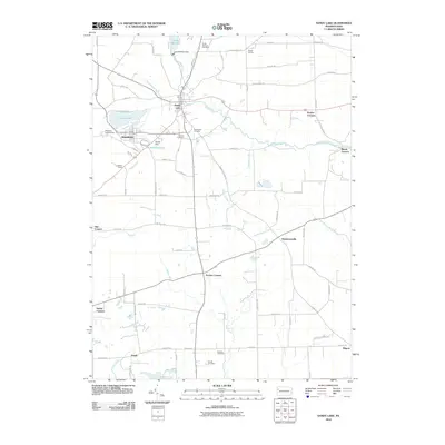
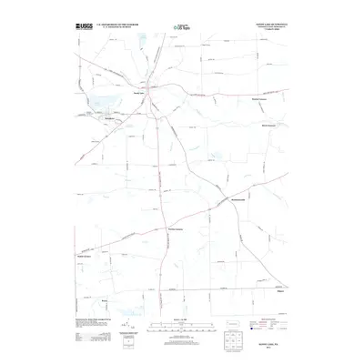
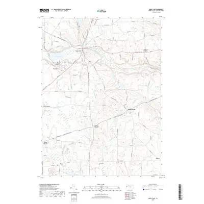
 1960 Sandy Lake1962 Print · USGSMercer County at the start of the sixties reveals a landscape transitioning between its industrial roots and modern conservation. Trace family roots and vanished landmarks through Yankee Hill Cem, the New York Central Railroad line, and the numerous oil wells near Hendersonville.3 unique versions available
 - 1962 Map of Cleveland
 1962 Cleveland1962 Print · USGSNortheast Ohio and the Pennsylvania borderlands appear here during the industrial peak of the early sixties. Genealogists and historians can trace the expansive rail lines of the Nickel Plate Road and the growth of suburbs from Parma to Lyndhurst.
 - 1963 Map of Polk, 1965 Print
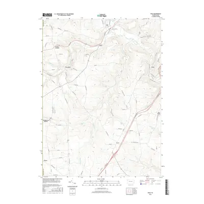
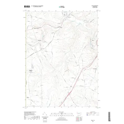
 1963 Polk1965 Print · USGSVenango County's industrial and institutional landscape is captured here in the early 1960s, centered on the confluence of French Creek and Sandy Creek. Genealogists and researchers can map out the extensive oil wells at Raymilton or locate family sites near Hebron Ch and Gadsby Cem.5 unique versions available
 - 1971 Map of Warren
 1971 Warren1971 Print · USGSNorth Central Pennsylvania is captured here in the early seventies, showing a landscape defined by industrial centers and massive state forests. Genealogists and historians can trace the rail lines of the Penn Central and Erie Lackawanna connecting towns like Warren, Kane, and Du Bois.
 - 1983 Map of Oil City, 1984 Print
 1983 Oil City1984 Print · USGSThe Allegheny and Clarion river valleys are shown in the early eighties as a hub of rail lines and conservation lands. Genealogists can trace family connections in Oil City and Franklin or locate rural sites like the Pennsylvania State Hospital and School and Coal City.
 - 1986 Map of Youngstown, 1988 Print
 1986 Youngstown1988 Print · USGSThe industrial corridor of the Mahoning Valley and the collegiate towns of Western Pennsylvania are captured here in the mid-eighties. Researchers can trace the rail lines of the Conrail network or locate historical sites like Churchill and Crown Hill Cem.2 unique versions available
 - 2010 Map of Sandy Lake, 2010 Print
 2010 Sandy Lake2010 Print · USGSCovers Mineral Township, including Sandy Lake, New Vernon Township, and other nearby areas
 - 2010 Map of Polk, 2010 Print
 2010 Polk2010 Print · USGSCovers Mineral Township, including Polk, Sandycreek Township, and other nearby areas
 - 2013 Map of Polk, 2013 Print
 2013 Polk2013 Print · USGSCovers Mineral Township, including Polk, Sandycreek Township, and other nearby areas
 - 2013 Map of Sandy Lake, 2013 Print
 2013 Sandy Lake2013 Print · USGSCovers Mineral Township, including Sandy Lake, New Vernon Township, and other nearby areas
 - 2016 Map of Sandy Lake, 2016 Print
 2016 Sandy Lake2016 Print · USGSCovers Mineral Township, including Sandy Lake, New Vernon Township, and other nearby areas
 - 2016 Map of Polk, 2016 Print
 2016 Polk2016 Print · USGSCovers Mineral Township, including Polk, Sandycreek Township, and other nearby areas
 - 2019 Map of Sandy Lake, 2019 Print
 2019 Sandy Lake2019 Print · USGSCovers Mineral Township, including Sandy Lake, New Vernon Township, and other nearby areas
 - 2019 Map of Polk, 2019 Print
 2019 Polk2019 Print · USGSCovers Mineral Township, including Polk, Sandycreek Township, and other nearby areas
 - 2023 Map of Sandy Lake, 2023 Print
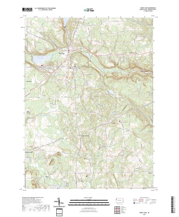 2023 Sandy Lake2023 Print · USGSThe boroughs of Sandy Lake and Stoneboro are shown in this contemporary study of Mercer County's landscape. Researchers can trace rural cemeteries and crossroads like Perrine Corners, Oak Hill Cem, and the path of the Norfolk Southern railroad.
Showing maps 1-25 of 26
Top cities near Mineral Township
- Grove City historical maps
- Cranberry Township historical maps
- Franklin historical maps
- Sugarcreek historical maps
- Cherrytree Township historical maps
- Rockland Township historical maps
See more
Top neighborhoods of Mineral Township
- Mount Pleasant historical maps
- Wallace Corners historical maps
- Henderson Station historical maps
- Raymilton historical maps
Frequently asked questions
- What are the different types of historical maps available for Mineral Township?
- What is the oldest map of Mineral Township?
- Where can I purchase historical maps of Mineral Township for my home or office?
- Where can I download high-res historical maps of Mineral Township?
- Are there historical topographic maps available for Mineral Township?
- Is there historical aerial imagery available for Mineral Township?
- Where are historical maps of Mineral Township sourced from?