Old Maps of Conewango Township, Pennsylvania for Academic Research
Study the evolution of Conewango Township with 35 high-resolution historic maps. Whether you're teaching, researching, or modeling changes in land use, these maps provide essential visual documentation of urban, environmental, and geographic change.
- Analyze long-term change: Track patterns in development, transportation, and natural features.
- Ideal for environmental or urban studies: Support academic projects with primary historical map data.
- Use in the classroom or lab: Educators and researchers rely on these maps to bring historical context to life.
These maps are a powerful tool for teaching, research, and visualizing how Conewango Township has changed over the decades.
Conewango Township, PA maps
(35)- 1906 Map of Warren
 1906 Warren1906 Print · USGSWarren and its surrounding river valleys are captured here at the height of the early rail era. Genealogists can trace family names across dozens of rural landmarks, from the State Insane Asylum to scattered outposts like Lander and Old Clarendon.3 unique versions available
 - 1907 Map of Warren
 1907 Warren1907 Print · USGSWarren and its riverfront neighborhoods thrived at the dawn of the century as a hub for the Pennsylvania RR. Local historians can trace the footprint of the State Insane Asylum and find rural schools such as Dutch Hill School and Knupp School.
 - 1908 Map of Warren
 1908 Warren1908 Print · USGSThe river-and-rail economy of Warren County is documented here at the turn of the century. Genealogists can trace family-named landmarks and rural hubs like Lander, Oakland Cem, and the State Insane Asylum.3 unique versions available
 - 1926 Map of Youngsville, 1961 Print
 1926 Youngsville1961 Print · USGSWarren County at the dawn of the motorized age shows a landscape of small valley towns and isolated hill farms. Local researchers can trace old schoolhouse locations like White Sch and family-named landmarks such as Pikes Rocks and Cole Hill Fire Tower.
 - 1929 Map of Youngsville
 1929 Youngsville1929 Print · USGSWarren County at the close of the twenties shows a landscape of busy rail junctions and upland farm communities. You can trace early family sites through dozens of named schoolhouses like Yankebush Sch, find the Cole Hill Fire Tower, or follow the Erie RR through Bear Lake.5 unique versions available
 - 1943 Map of Youngsville
 1943 Youngsville1943 Print · USGSThe valleys and ridges of Warren County appear in detail during the early 1940s, highlighting the rail-to-river economy along the Allegheny River. Genealogists can trace family roots through numerous hill schools and rural churches like Davy Hill Ch and Vankirkbush Sch.
 - 1954 Map of Russell, 1956 Print
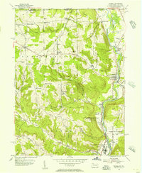 1954 Russell1956 Print · USGSWarren County in the mid-1950s shows a landscape of institutional farms and rural crossroads along the Conewango Creek. Trace the New York Central Railroad corridor through Russell and Akeley, or locate ancestral sites like Marshtown Cem and Putnamville.4 unique versions available
 - 1954 Map of Warren, 1956 Print
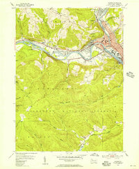 1954 Warren1956 Print · USGSWarren and its river valleys are seen here in the mid-fifties, when the rail and oil industries shaped the local economy. Researchers can trace historic cemeteries like Oakland Cem and industry sites like the Oil Refinery and Buchers Mills.6 unique versions available
 - 1957 Map of Warren, 1964 Print
 1957 Warren1964 Print · USGSThe northern Pennsylvania oil and timber country comes into focus in the mid-fifties, showing the region before modern highway expansions. Trace the industrial rail networks of the Pennsylvania RR and the early Allegheny River Reservoir near Warren and Oil City.4 unique versions available
 - 1958 Map of Warren
 1958 Warren1958 Print · USGSNorthern Pennsylvania’s timber and oil country is captured here during the late fifties, showing the interplay of industrial valleys and vast state forests. Genealogists can trace family connections across the Cornplanter Indian Reservation or through rail hubs like Oil City and Saint Marys.
 - 1959 Map of Warren
 1959 Warren1959 Print · USGSNorthern Pennsylvania's oil and timber country comes alive in this late-fifties study of the forest-clad plateaus. Trace the historic Cornplanter (Indian Reservation), the sprawling Oil Field, and the rail lines of the Pennsylvania RR.2 unique versions available
 - 1968 Map of Sugar Grove, 1972 Print
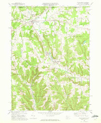 1968 Sugar Grove1972 Print · USGSThe Pennsylvania and New York border comes alive in the late sixties, showing a landscape of small farming valleys and early energy development. Genealogists and local historians can trace family roots through landmarks like Peoples Ch, Wesleyan Cem, and the old Stillwater Road.3 unique versions available
 - 1969 Map of Youngsville, 1971 Print
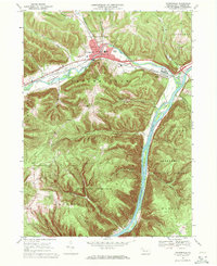 1969 Youngsville1971 Print · USGSYoungsville and the Allegheny River valley appear here in the late sixties, showing a landscape defined by industry and conservation. Local historians can trace the Penn Central rail lines and locate the County Home and Hospital or the historic St Lukes Ch.4 unique versions available
 - 1971 Map of Warren
 1971 Warren1971 Print · USGSNorth Central Pennsylvania is captured here in the early seventies, showing a landscape defined by industrial centers and massive state forests. Genealogists and historians can trace the rail lines of the Penn Central and Erie Lackawanna connecting towns like Warren, Kane, and Du Bois.
 - 1983 Map of Warren, 1984 Print
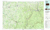 1983 Warren1984 Print · USGSNorthwestern Pennsylvania at the dawn of the 1980s reveals a landscape defined by the petroleum industry and expansive public lands. Trace the legacy of early oil at Drake Well Memorial Park and Pithole City Historical Site, or locate family sites near Warren State Hospital and Kellettville.
 - 2010 Map of Russell, 2010 Print
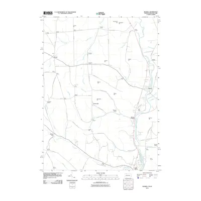 2010 Russell2010 Print · USGSThe Pennsylvania and New York border comes to life in this detailed map of rural crossroads and creek valleys. Genealogists and local historians can trace family-named locations like Mahan Corners, Wheeler Corners, and Foster Cemetery.
 - 2010 Map of Sugar Grove, 2010 Print
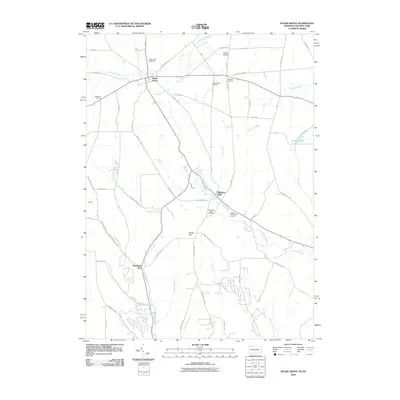 2010 Sugar Grove2010 Print · USGSThe Pennsylvania and New York border comes into focus in this early 21st-century study of the Sugar Grove area. Researchers can trace rural settlement patterns through local sites like the Sugar Grove Oil Field, Cherry Hill Cemetery, and the hamlet of Chandlers Valley.
 - 2011 Map of Warren, 2011 Print
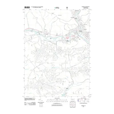 2011 Warren2011 Print · USGSThe confluence of the Allegheny River and Conewango Creek anchors the community of Warren in the early twenty-first century. Genealogists and local historians can trace legacy sites from the industrial corridors of Starbrick to the grounds of Oakland Cemetery and Yankee Bush Cemetery.
 - 2011 Map of Youngsville, 2011 Print
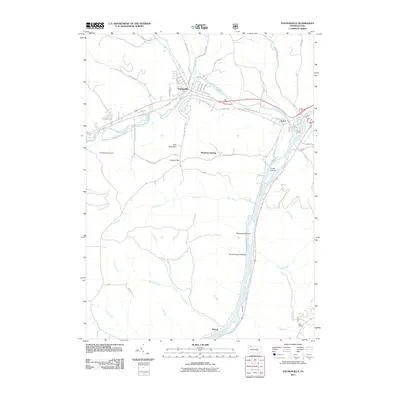 2011 Youngsville2011 Print · USGSYoungsville and the Brokenstraw Valley are documented here in the early twenty-first century as the river-and-rail landscape continues to evolve. Researchers can trace family-named terrain and rural roads, from York Mountain and Crippen Hill to the riverside settlement at Althom.
 - 2013 Map of Youngsville, 2013 Print
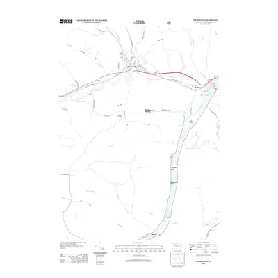 2013 Youngsville2013 Print · USGSThe confluence of the Allegheny River and Brokenstraw Creek defines this corner of Warren County in the early twenty-first century. Genealogists and local historians can trace family roots through the streets of Youngsville or explore the riverbanks near Irvine and Althom.
 - 2013 Map of Sugar Grove, 2013 Print
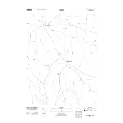 2013 Sugar Grove2013 Print · USGSThe Pennsylvania and New York borderlands near Chautauqua County appear here in the early twenty-first century as a landscape of rural villages and winding valley runs. Genealogists and local historians can locate Sugar Grove, the Sugar Grove Oil Field, and the settlement at Chandlers Valley.
 - 2013 Map of Russell, 2013 Print
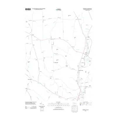 2013 Russell2013 Print · USGSThe Pennsylvania-New York borderlands are shown here in the early twenty-first century, centered on the winding Conewango Cr. Genealogists and local historians can trace family-named sites like Fairbanks Corners, Lander, and the Guy C Irving House.
 - 2013 Map of Warren, 2013 Print
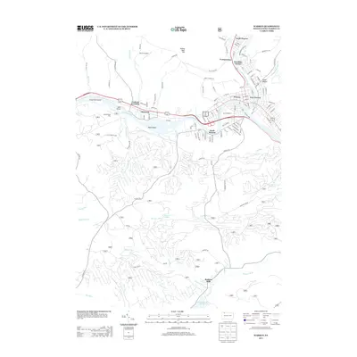 2013 Warren2013 Print · USGSWarren County and the city of Warren are shown in the early twenty-first century as the industrial and residential hub of the Allegheny River valley. Researchers can trace the layout of traditional neighborhoods in Starbrick and North Warren or locate rural landmarks like Buchers Mills and the Warren Airpark.
 - 2016 Map of Russell, 2016 Print
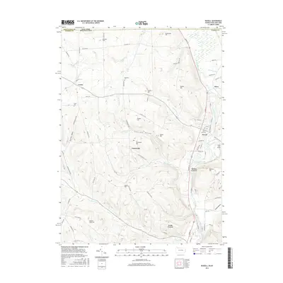 2016 Russell2016 Print · USGSThe Pennsylvania and New York border comes to life in this recent survey of the Conewango valley. Researchers can trace family roots at Marshtown Cem and Pine Grove Cem, or locate landmarks like Shield Farm Airport and Backup Corners.
 - 2016 Map of Youngsville, 2016 Print
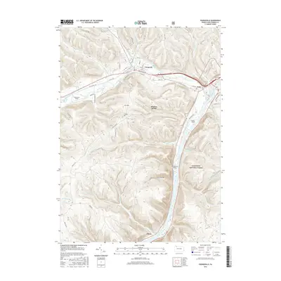 2016 Youngsville2016 Print · USGSThe Allegheny River valley comes into focus during the mid-2010s, showing the intersection of the Allegheny National Forest and local river towns. Genealogists and historians can trace family-named landmarks like Crippen Hill or locate riverfront sites at Althom and Irvine.
Showing maps 1-25 of 35
Top cities near Conewango Township
- Jamestown historical maps
- Warren historical maps
- Ellicott historical maps
- Busti historical maps
- Carroll historical maps
- Lakewood historical maps
See more
Top neighborhoods of Conewango Township
- Starbrick historical maps
- Venturetown historical maps
- Jackson Crossing historical maps
- North Warren historical maps
Frequently asked questions
- What are the different types of historical maps available for Conewango Township?
- What is the oldest map of Conewango Township?
- Where can I purchase historical maps of Conewango Township for my home or office?
- Where can I download high-res historical maps of Conewango Township?
- Are there historical topographic maps available for Conewango Township?
- Is there historical aerial imagery available for Conewango Township?
- Where are historical maps of Conewango Township sourced from?