2000s (21st Century) Maps of Warren, Pennsylvania
Explore 10 historic maps of Warren from the 2000s (21st Century). These maps offer a rare glimpse into what life looked like during the 2000s — showing old roads, neighborhoods, homes, and landmarks that have changed or disappeared over time.
Whether you're researching your family's past, planning a metal detecting trip, or studying how Warren's landscape evolved across the 2000s, these high-resolution maps are a powerful tool for exploring the history of this region.
- Focus on a specific era: All maps on this page are from the 2000s, giving you a focused view of this time period.
- See what’s changed: Compare century-old streets, trails, and buildings to today's modern landscape using overlays and satellite layers.
- Research with precision: Use these maps for genealogy, historical research, land use analysis, or educational projects.
- View, download, or print: Maps are fully viewable online in high resolution, and can be downloaded or printed for your own records.
Start exploring Warren's history through authentic maps from the 2000s. This is your window into the past.
Warren, PA maps
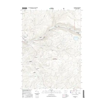
(10)- 2011 Map of Warren, 2011 Print
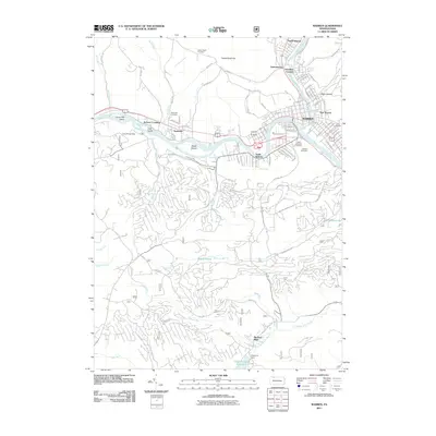 2011 Warren2011 Print · USGSCovers Warren, including North Warren, East Warren, and other nearby areas
 - 2011 Map of Clarendon, 2011 Print
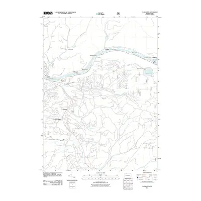 2011 Clarendon2011 Print · USGSCovers Warren, including Sheffield Township, Glade, and other nearby areas
 - 2013 Map of Clarendon, 2013 Print
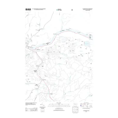 2013 Clarendon2013 Print · USGSCovers Warren, including Sheffield Township, Glade, and other nearby areas
 - 2013 Map of Warren, 2013 Print
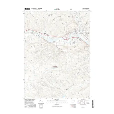
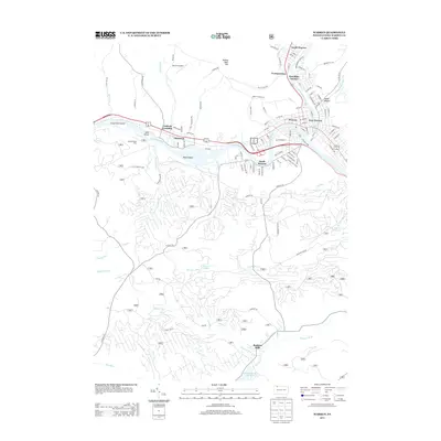 2013 Warren2013 Print · USGSCovers Warren, including North Warren, East Warren, and other nearby areas
 - 2016 Map of Clarendon, 2016 Print
 2016 Clarendon2016 Print · USGSCovers Warren, including Sheffield Township, Glade, and other nearby areas
 - 2016 Map of Warren, 2016 Print
 2016 Warren2016 Print · USGSCovers Warren, including North Warren, East Warren, and other nearby areas
 - 2019 Map of Warren, 2019 Print
 2019 Warren2019 Print · USGSCovers Warren, including North Warren, East Warren, and other nearby areas
 - 2019 Map of Clarendon, 2019 Print
 2019 Clarendon2019 Print · USGSCovers Warren, including Sheffield Township, Glade, and other nearby areas
 - 2023 Map of Clarendon, 2023 Print
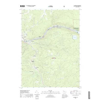
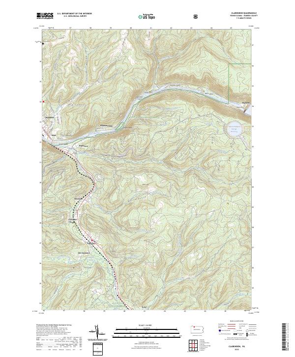 2023 Clarendon2023 Print · USGSThe northern Pennsylvania highlands and the Allegheny River valley are shown here as they appear today within the Allegheny National Forest. Researchers can trace the legacy of timber and industry through settlements like Old Clarendon, Stoneham, and Tiona, or locate family sites at Snyder Cem and Shipmans Eddy.
 - 2023 Map of Warren, 2023 Print
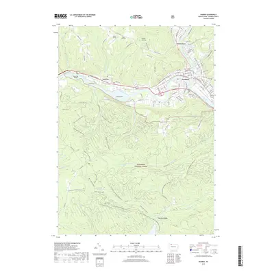
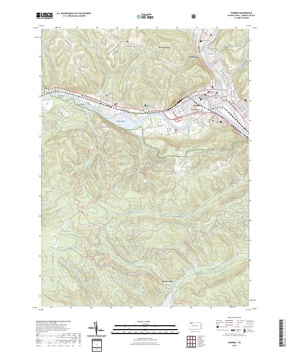 2023 Warren2023 Print · USGSWarren and the Allegheny River valley appear in high detail during this era. Genealogists and researchers can trace civic history at the Warren County Courthouse or locate family plots in Oakland Cem and Saint Josephs Cem.
End of results
Showing maps 1-10 of 10
Top cities near Warren
- Busti historical maps
- Carroll historical maps
- Sheffield Township historical maps
- Glade historical maps
- North Warren historical maps
- Frewsburg historical maps
See more
Top neighborhoods of Warren
- East Warren historical maps
- Hazeltine Corners historical maps
- Glade historical maps
- Downtown Warren historical maps
Frequently asked questions
- What are the different types of historical maps available for Warren?
- What is the oldest map of Warren?
- Where can I purchase historical maps of Warren for my home or office?
- Where can I download high-res historical maps of Warren?
- Are there historical topographic maps available for Warren?
- Is there historical aerial imagery available for Warren?
- Where are historical maps of Warren sourced from?