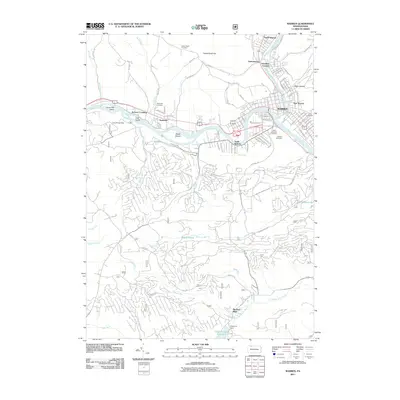
2011 Map of Warren
USGS Topo · Published 2011About this map
The Allegheny River and Conewango Creek converge at the heart of Warren, defining the layout of this historic Pennsylvania county seat. The map reveals a dense network of neighborhoods including North Warren, South Warren, and East Warren, alongside smaller surrounding clusters like Venturetown and Hazeltine Corners. Settlement patterns follow the river valleys, with industrial and residential development concentrated near the water, while the periphery transitions into the wooded ridges of Yankee Bush Hill. Local heritage is well-preserved through several large burial grounds, notably Oakland Cemetery and Saint Josephs Cemetery. In the more rural southern and western reaches, the landscape is defined by drainage systems such as Morrison Run and Elkhorn Run, which feed into larger bodies like the Chapman Dam Reservoir. This survey provides a contemporary record of the area's infrastructure, from the roads of Starbrick to the recreational grounds of Camp Birdsell Edey.
Find a feature on this map
110 named features on this map. Tap any name to fly to it.
Don’t see what you’re looking for? This feature index may not catch every label — zoom into the map to look around manually.
Map Details
Editions of this 2011 Warren Map
This is the sole edition of this map. No revisions or reprints were ever made.
Other maps of this area

1906 · Warren
USGS Topo · 1:62,500

1907 · Warren
USGS Topo · 1:62,500

1908 · Warren
USGS Topo · 1:62,500

1926 · Youngsville
USGS Topo · 1:62,500

1927 · Tidioute
USGS Topo · 1:48,000

1929 · Youngsville
USGS Topo · 1:62,500

1930 · Tidioute
USGS Topo · 1:62,500

1935 · Sheffield
USGS Topo · 1:48,000

1941 · Sheffield
USGS Topo · 1:62,500

1943 · Youngsville
USGS Topo · 1:62,500