2020s Maps of Ligonier Township, Pennsylvania
Explore 6 historic maps of Ligonier Township from the 2020s. These maps offer a rare glimpse into what life looked like during the 2020s — showing old roads, neighborhoods, homes, and landmarks that have changed or disappeared over time.
Whether you're researching your family's past, planning a metal detecting trip, or studying how Ligonier Township's landscape evolved across the 2020s, these high-resolution maps are a powerful tool for exploring the history of this region.
- Focus on a specific era: All maps on this page are from the 2020s, giving you a focused view of this time period.
- See what’s changed: Compare century-old streets, trails, and buildings to today's modern landscape using overlays and satellite layers.
- Research with precision: Use these maps for genealogy, historical research, land use analysis, or educational projects.
- View, download, or print: Maps are fully viewable online in high resolution, and can be downloaded or printed for your own records.
Start exploring Ligonier Township's history through authentic maps from the 2020s. This is your window into the past.
Ligonier Township, PA maps
(6)- 2023 Map of Stahlstown, 2023 Print
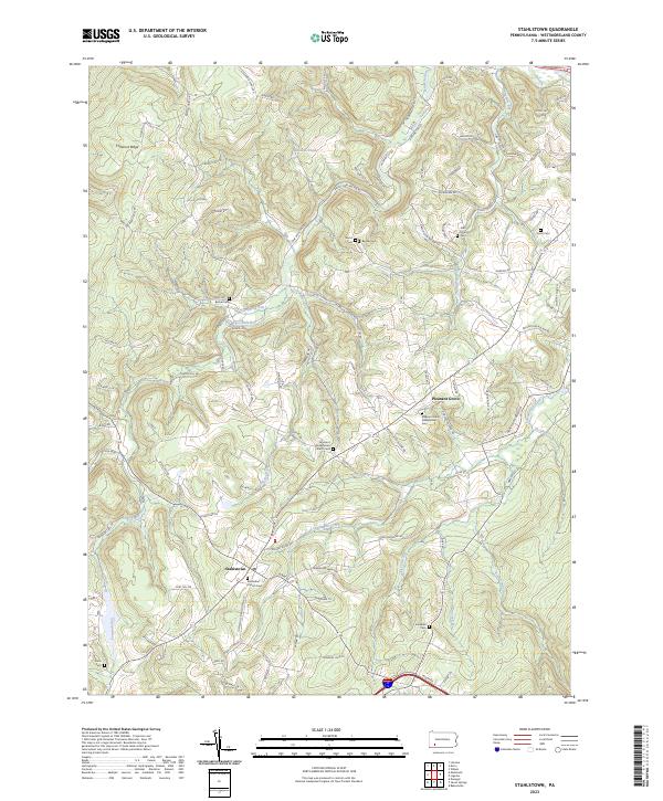 2023 Stahlstown2023 Print · USGSWestmoreland County highland settlements are captured in this 2023 survey of the Ligonier Valley. Researchers can trace family sites from Stahlstown to Pleasant Grove, including Snowball Cem and the Methodist Church.
 - 2023 Map of Ligonier, 2023 Print
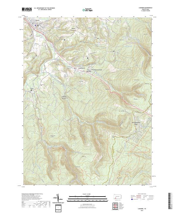 2023 Ligonier2023 Print · USGSWestmoreland County at the foot of the mountains shows a landscape shaped by early iron works and valley farming. Genealogists can trace family lines at Old Ligonier Cem or Cole Cem, while historians can locate the California Furnace and Thomas Crossroads.
 - 2023 Map of Rachelwood, 2023 Print
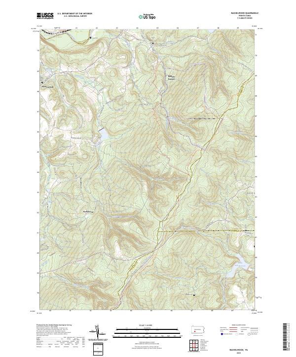 2023 Rachelwood2023 Print · USGSThe Laurel Highlands south of the Conemaugh River come into focus in this recent survey of Westmoreland County. Genealogists can locate several remote burial sites such as Mishler Cem and Legat Cem, while historians can trace the area's iron heritage at Baldwin Furnace.
 - 2023 Map of Boswell, 2023 Print
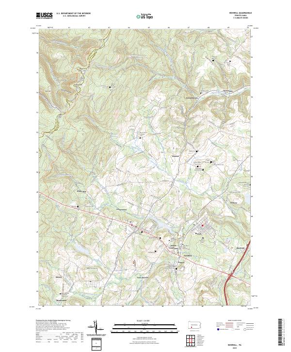 2023 Boswell2023 Print · USGSSomerset County communities like Boswell and Jennerstown are shown in detail as they appeared in 2023. You can trace family roots at Saint Stanislaus Cem or explore industrial history near Coal Junction and Klines Mill.
 - 2023 Map of Derry, 2023 Print
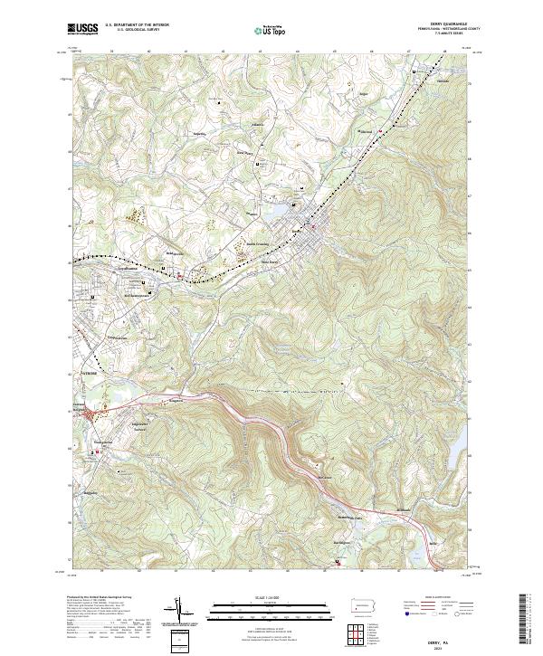 2023 Derry2023 Print · USGSDerry and the Westmoreland County hills are documented here in the early twenty-first century, showcasing a landscape of industrial hamlets and rail corridors. Trace family heritage at Fort Barr Cem, follow the Norfolk Southern through Loyalhanna Gorge, or locate old settlements like Peanut and Burds Crossing.
 - 2023 Map of Wilpen, 2023 Print
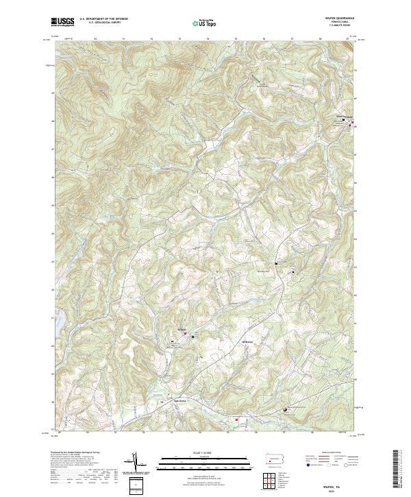 2023 Wilpen2023 Print · USGSThe Ligonier Valley's complex ridge-and-hollow terrain is shown here at the start of the 2020s. Genealogists can locate several historic burial sites like the Union Church Cem, Camp Fairfield Cem, and Green Mountain Cem.
End of results
Showing maps 1-6 of 6
Top cities near Ligonier Township
- Latrobe historical maps
- Somerset historical maps
- Blairsville historical maps
- Derry historical maps
- Loyalhanna historical maps
- Black Lick Township historical maps
See more
Top neighborhoods of Ligonier Township
- Shirley historical maps
- Thomas Crossroads historical maps
- Rector historical maps
- Waterford historical maps
- Bells historical maps
- Buttermilk Falls historical maps
See more
Frequently asked questions
- What are the different types of historical maps available for Ligonier Township?
- What is the oldest map of Ligonier Township?
- Where can I purchase historical maps of Ligonier Township for my home or office?
- Where can I download high-res historical maps of Ligonier Township?
- Are there historical topographic maps available for Ligonier Township?
- Is there historical aerial imagery available for Ligonier Township?
- Where are historical maps of Ligonier Township sourced from?