2000s (21st Century) Maps of Loyalhanna Township, Pennsylvania
Explore 15 historic maps of Loyalhanna Township from the 2000s (21st Century). These maps offer a rare glimpse into what life looked like during the 2000s — showing old roads, neighborhoods, homes, and landmarks that have changed or disappeared over time.
Whether you're researching your family's past, planning a metal detecting trip, or studying how Loyalhanna Township's landscape evolved across the 2000s, these high-resolution maps are a powerful tool for exploring the history of this region.
- Focus on a specific era: All maps on this page are from the 2000s, giving you a focused view of this time period.
- See what’s changed: Compare century-old streets, trails, and buildings to today's modern landscape using overlays and satellite layers.
- Research with precision: Use these maps for genealogy, historical research, land use analysis, or educational projects.
- View, download, or print: Maps are fully viewable online in high resolution, and can be downloaded or printed for your own records.
Start exploring Loyalhanna Township's history through authentic maps from the 2000s. This is your window into the past.
Loyalhanna Township, PA maps
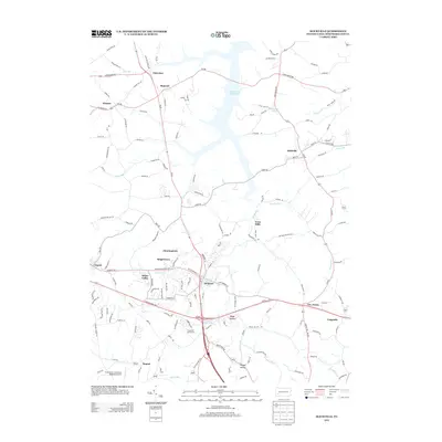
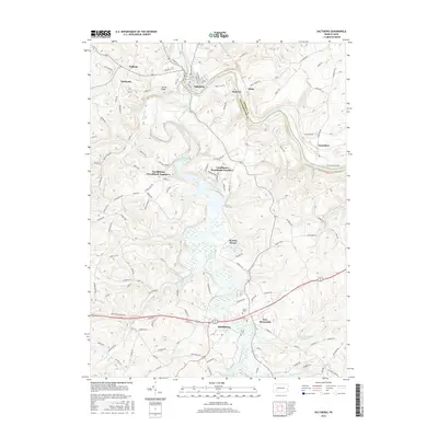
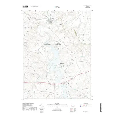
(15)- 2010 Map of Slickville, 2010 Print
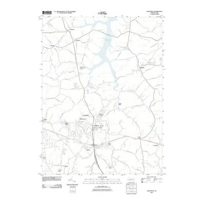 2010 Slickville2010 Print · USGSCovers Loyalhanna Township, including Delmont, Penn Township, and other nearby areas
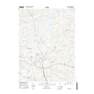
 - 2010 Map of Saltsburg, 2010 Print
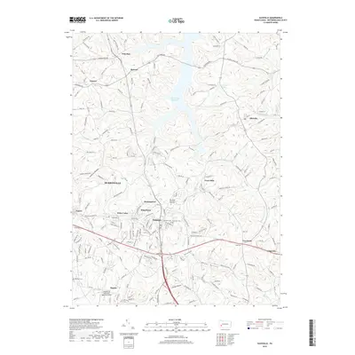
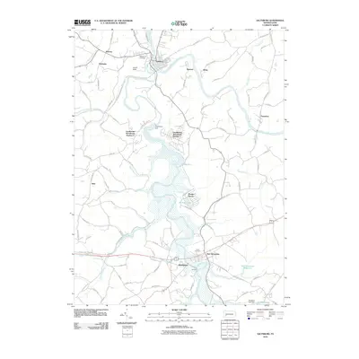 2010 Saltsburg2010 Print · USGSCovers Loyalhanna Township, including White, Saltsburg, and other nearby areas
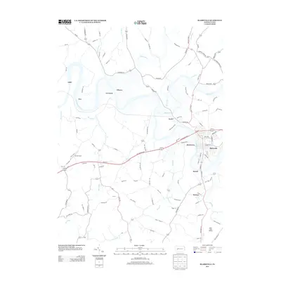
 - 2010 Map of Blairsville, 2010 Print
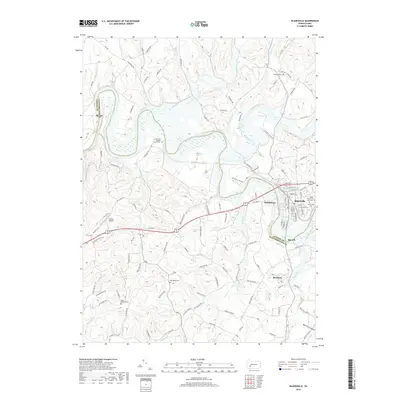
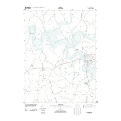 2010 Blairsville2010 Print · USGSCovers Loyalhanna Township, including Blairsville, Black Lick Township, and other nearby areas
 - 2013 Map of Saltsburg, 2013 Print
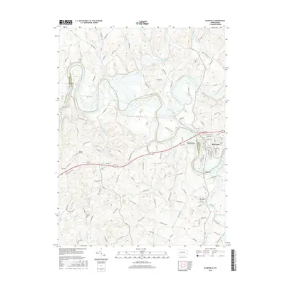
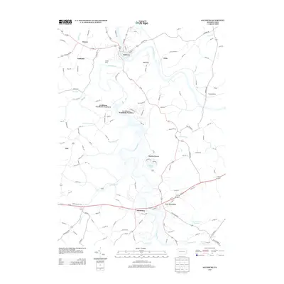 2013 Saltsburg2013 Print · USGSCovers Loyalhanna Township, including White, Saltsburg, and other nearby areas
 - 2013 Map of Slickville, 2013 Print
 2013 Slickville2013 Print · USGSCovers Loyalhanna Township, including Delmont, Penn Township, and other nearby areas
 - 2013 Map of Blairsville, 2013 Print
 2013 Blairsville2013 Print · USGSCovers Loyalhanna Township, including Blairsville, Black Lick Township, and other nearby areas
 - 2016 Map of Slickville, 2016 Print
 2016 Slickville2016 Print · USGSCovers Loyalhanna Township, including Delmont, Penn Township, and other nearby areas
 - 2016 Map of Blairsville, 2016 Print
 2016 Blairsville2016 Print · USGSCovers Loyalhanna Township, including Blairsville, Black Lick Township, and other nearby areas
 - 2016 Map of Saltsburg, 2016 Print
 2016 Saltsburg2016 Print · USGSCovers Loyalhanna Township, including White, Saltsburg, and other nearby areas
 - 2019 Map of Blairsville, 2019 Print
 2019 Blairsville2019 Print · USGSCovers Loyalhanna Township, including Blairsville, Black Lick Township, and other nearby areas
 - 2019 Map of Saltsburg, 2019 Print
 2019 Saltsburg2019 Print · USGSCovers Loyalhanna Township, including White, Saltsburg, and other nearby areas
 - 2019 Map of Slickville, 2019 Print
 2019 Slickville2019 Print · USGSCovers Loyalhanna Township, including Delmont, Penn Township, and other nearby areas
 - 2023 Map of Blairsville, 2023 Print
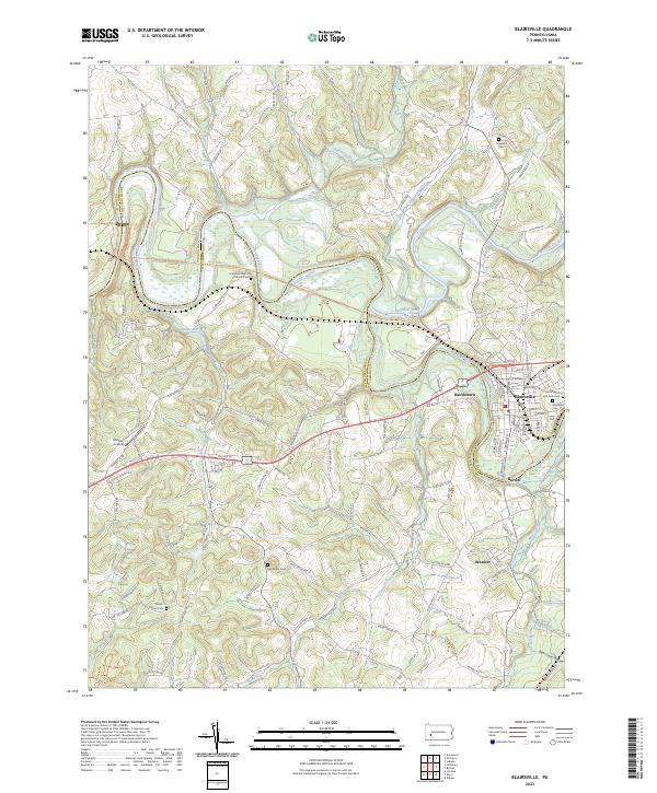 2023 Blairsville2023 Print · USGSThe Conemaugh River valley at the Indiana and Westmoreland county line reveals a landscape of riverfront towns and historic cemeteries. Genealogists can trace family names at Blairsville Cemetery or find smaller settlements like Bairdstown and Brenizer.
 - 2023 Map of Slickville, 2023 Print
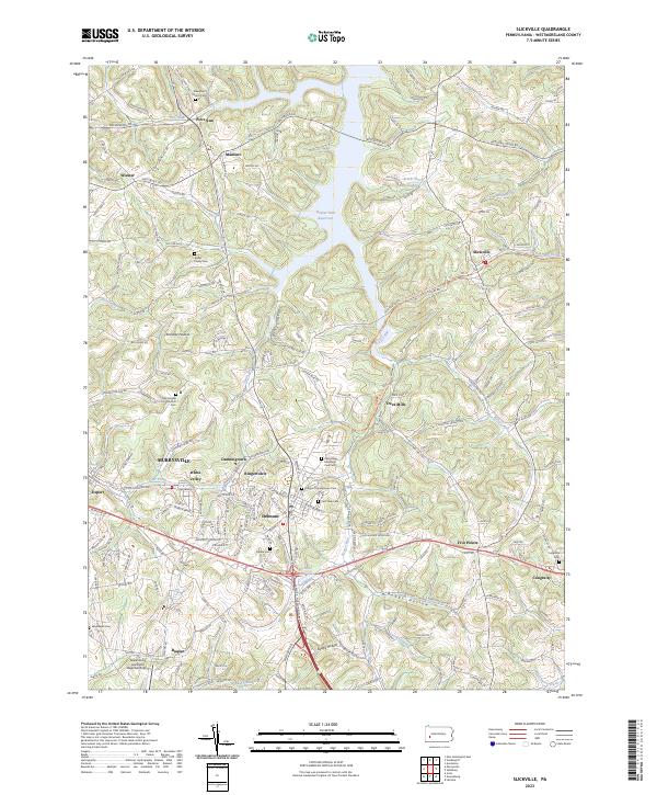 2023 Slickville2023 Print · USGSWestmoreland County communities appear in the 2020s amidst the ridges and hollows of western Pennsylvania. Genealogists can locate family landmarks like Kistler Family Cem or trace the early hamlets of Trees Mills and Mamont.
 - 2023 Map of Saltsburg, 2023 Print
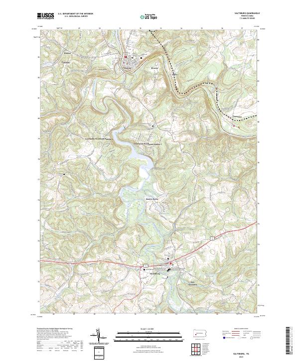 2023 Saltsburg2023 Print · USGSThe confluence of the Conemaugh and Kiskiminetas rivers at Saltsburg is captured in the early 2020s, showing a landscape shaped by river valleys and deep-rooted settlements. Genealogists can trace family sites at Saint Matthew's Cem and the New Alexandria Union Cem.
End of results
Showing maps 1-15 of 15
Top cities near Loyalhanna Township
- Greensburg historical maps
- White historical maps
- Lower Burrell historical maps
- Jeannette historical maps
- Latrobe historical maps
- Vandergrift historical maps
See more
Top neighborhoods of Loyalhanna Township
- Loyalhanna Woodlands Number 2 historical maps
- Manitto Haven historical maps
- Moween historical maps
- Wakena historical maps
- Loyalhanna Woodlands Number 1 historical maps
- Patton historical maps
See more
Frequently asked questions
- What are the different types of historical maps available for Loyalhanna Township?
- What is the oldest map of Loyalhanna Township?
- Where can I purchase historical maps of Loyalhanna Township for my home or office?
- Where can I download high-res historical maps of Loyalhanna Township?
- Are there historical topographic maps available for Loyalhanna Township?
- Is there historical aerial imagery available for Loyalhanna Township?
- Where are historical maps of Loyalhanna Township sourced from?