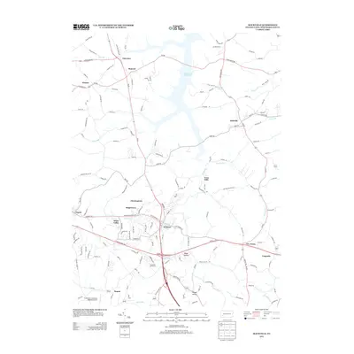
2013 Map of Slickville
USGS Topo · Published 2013About this map
Beaver Run Reservoir dominates the northern landscape of this Westmoreland County study, where the waters of Beaver Run meet a network of rural routes and valley settlements. The terrain is defined by its drainages, including Thorn Run, Porters Run, and Wolford Run, which carve through the countryside between established communities like Slickville and Delmont. Transportation corridors such as Us-22 and Pa-66 intersect at the Cloverleaf Golf Course, marking a modern transition point for the region. The map captures a mix of industrial and residential patterns, from the aviation activity at the Greensburg Jeannette Regional Airport to the quiet clusters of Trees Mills and Sleepy Hollow. Genealogists and local historians can trace the specific road networks, such as Poke Run Church Rd and Mamont Dr, that connect family homesteads and small hamlets like Mamont and Boquet.
Find a feature on this map
148 named features on this map. Tap any name to fly to it.
Don’t see what you’re looking for? This feature index may not catch every label — zoom into the map to look around manually.
Map Details
Editions of this 2013 Slickville Map
This is the sole edition of this map. No revisions or reprints were ever made.
Other maps of this area

1900 · Latrobe
USGS Topo · 1:62,500

1902 · Latrobe
USGS Topo · 1:62,500

1902 · Elders Ridge
USGS Topo · 1:62,500

1903 · Latrobe
USGS Topo · 1:62,500

1904 · Elders Ridge
USGS Topo · 1:62,500

1904 · Greensburg
USGS Topo · 1:62,500

1906 · Greensburg
USGS Topo · 1:62,500

1907 · Freeport
USGS Topo · 1:62,500

1909 · Freeport
USGS Topo · 1:62,500

1953 · Pittsburgh
USGS Topo · 1:250,000