1950s Maps of Rhode Island
Explore 39 historic maps of Rhode Island from the 1950s. These maps offer a rare glimpse into what life looked like during the 1950s — showing old roads, neighborhoods, homes, and landmarks that have changed or disappeared over time.
Whether you're researching your family's past, planning a metal detecting trip, or studying how Rhode Island's landscape evolved across the 1950s, these high-resolution maps are a powerful tool for exploring the history of this region.
- Focus on a specific era: All maps on this page are from the 1950s, giving you a focused view of this time period.
- See what’s changed: Compare century-old streets, trails, and buildings to today's modern landscape using overlays and satellite layers.
- Research with precision: Use these maps for genealogy, historical research, land use analysis, or educational projects.
- View, download, or print: Maps are fully viewable online in high resolution, and can be downloaded or printed for your own records.
Start exploring Rhode Island's history through authentic maps from the 1950s. This is your window into the past.
Rhode Island maps
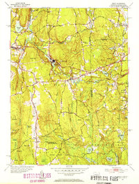
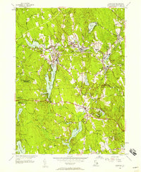
(39)- 1950 Map of East Killingly
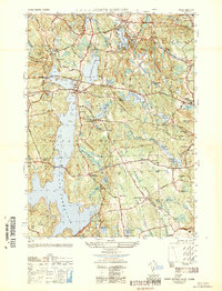
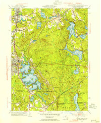
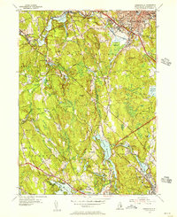
 1950 East Killingly1950 Print · USGSThe Connecticut and Rhode Island borderlands are captured here during the 1940s, showing a landscape of upland ridges and industrial brooks. You can trace early schoolhouse locations like Titus Sch and remote burial grounds including Hopkins Cem and Fiske Cem.
 - 1950 Map of Slocum
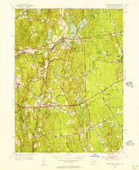
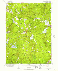
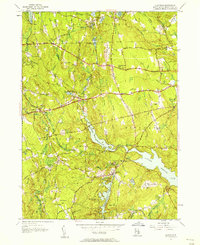
 1950 Slocum1950 Print · USGSSouthern Rhode Island's rural and institutional heartland comes to life in this mid-century survey of the Slocum and Exeter areas. Researchers can trace historic local sites like Liberty Ch, Hitty Corner Sch, and the grounds of the State Hospital.
 - 1950 Map of North Scituate
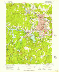
 1950 North Scituate1950 Print · USGSThe upland hills of Providence County appear here in the post-war era, as the massive Scituate Reservoir reshapes the local landscape. Researchers can trace ancestral locations near North Scituate, Smithville Cem, and old schools like Brown Ave Sch.
 - 1950 Map of Coventry
 1950 Coventry1950 Print · USGSWestern Rhode Island at mid-century reveals a landscape of isolated farmsteads and vital rail connections centered on the town of Coventry. Genealogists and local historians can trace family-named landmarks like Bowen Hill or locate rural landmarks such as Mt Vernon Ch and Summit Sch.
 - 1951 Map of Westport
 1951 Westport1951 Print · USGSThe Westport area in the early fifties reveals a classic New England coastal economy centered on the forks of the river and the barrier sounds. Genealogists can trace family homesteads at Slades Corner and Russells Mills or find ancestors at Beech Grove Cem.3 unique versions available
 - 1953 Map of Carolina
 1953 Carolina1953 Print · USGSCoastal Washington County villages and early transit corridors are captured here in the mid-fifties. Genealogists and historians can trace family plots at White Brook Cemetery or explore the rail hubs of Carolina Station and Wood River Junction.7 unique versions available
 - 1953 Map of Quonochontaug
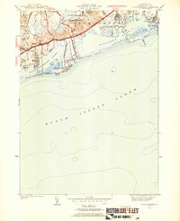 1953 Quonochontaug1953 Print · USGSThe Rhode Island shoreline in the early fifties shows a coastal landscape shaped by military aviation and growing seasonal tourism. Genealogists and local historians can trace the mid-century footprints of Shelter Harbor, the U S Naval Auxiliary Air Station, and the Drive-In Theater.5 unique versions available
 - 1953 Map of Oneco, 1954 Print
 1953 Oneco1954 Print · USGSThe borderlands of Connecticut and Rhode Island are shown in the early fifties as the railroad still connected industrial hamlets. Genealogists can locate Ekonk Ch, Moosup Valley Cem, and the small airfield at Ricinn Airport.6 unique versions available
 - 1953 Map of Voluntown, 1954 Print
 1953 Voluntown1954 Print · USGSThe Connecticut and Rhode Island borderlands come alive in the 1950s, showing a landscape defined by timber, state forests, and glacial ponds. Researchers can trace family names and landmarks from Voluntown to Rockville, or find sites like Sawmill Pond and Stepstone Falls.5 unique versions available
 - 1953 Map of Blackstone, 1954 Print
 1953 Blackstone1954 Print · USGSThe industrial corridor between Mendon and Woonsocket comes alive in this mid-century survey of the Blackstone River valley. Local historians can trace the paths of the New York New Haven and Hartford railroad through family landmarks like the Chestnut Hill Meeting House and Draper Airfield.4 unique versions available
 - 1953 Map of Oxford, 1954 Print
 1953 Oxford1954 Print · USGSSouthern Worcester County was a busy intersection of industry and nature in the early fifties. Trace the rail lines of the New York New Haven and Hartford and locate landmarks like the St Joseph Cem and the sprawling Lake Chaubunagungamaug.3 unique versions available
 - 1953 Map of Watch Hill, 1954 Print
 1953 Watch Hill1954 Print · USGSCoastal life and industrial heritage meet at the state line in the early fifties, where the river divides two states. Trace the maritime history of the sound through the Watch Hill Lighthouse, the residential growth of Westerly, and local landmarks like River Bend Cem.7 unique versions available
 - 1953 Map of Ashaway, 1955 Print
 1953 Ashaway1955 Print · USGSThe borderlands of Connecticut and Rhode Island are captured here in the mid-1950s, centered on the river-powered mill towns of the Pawcatuck Valley. Researchers can trace historic industrial sites and neighborhood roots in Westerly, Ashaway, and the riverside hamlet of Potter Hill.5 unique versions available
 - 1953 Map of Uxbridge, 1955 Print
 1953 Uxbridge1955 Print · USGSThe Blackstone Valley villages of the mid-twentieth century are captured here alongside the rural borderlands of Rhode Island. Genealogists can trace family heritage through the Aldrich and Buffum cemeteries or locate the Tasseltop Sch.3 unique versions available
 - 1953 Map of Hope Valley, 1955 Print
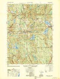
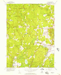
 1953 Hope Valley1955 Print · USGSThe rural valleys of western Rhode Island are captured here in the early 1950s, centered on the thriving mill villages of Hope Valley and Wyoming. Genealogists can trace family landmarks and rural institutions from the West Exeter Ch to the Barber Cem and the West Greenwich Sch.8 unique versions available
 - 1954 Map of Georgiaville, 1956 Print
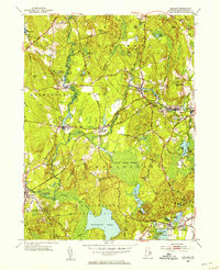
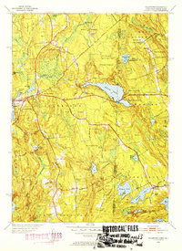
 1954 Georgiaville1956 Print · USGSNorthern Rhode Island in the mid-fifties is captured here during a period of industrial activity along the Woonasquatucket. Trace family history through Union Cem and The Shrine, or locate old rail stops at Tarkiln and Primrose.5 unique versions available
 - 1955 Map of Bristol
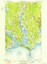
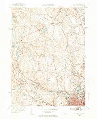
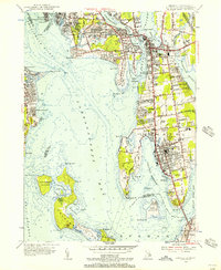 1955 Bristol1955 Print · USGSThe coastal towns of Bristol and Barrington are captured in the mid-1950s, showing a landscape defined by the New Haven Railroad and the surrounding bays. Genealogists and local historians can locate early cemeteries like South Burial Grounds and institutions such as St Columbans Seminary.7 unique versions available
 - 1955 Map of Sakonnet Point, 1956 Print
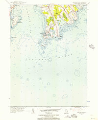 1955 Sakonnet Point1956 Print · USGSThe coastal reaches of Little Compton and the Sakonnet River are captured here in the mid-fifties. Researchers can trace maritime landmarks and early summer colonies from Sakonnet Light to the grounds of the Sakonnet Golf Course.3 unique versions available
 - 1955 Map of East Killingly, 1956 Print
 1955 East Killingly1956 Print · USGSThe Connecticut and Rhode Island borderlands are captured here in the mid-1950s, showing a landscape of textile-era mill towns and upland farms. Trace old property lines and rural communities near East Killingly, the North Foster Ch, and the heights of Jerimoth Hill.6 unique versions available
 - 1955 Map of Crompton, 1957 Print
 1955 Crompton1957 Print · USGSMid-century Rhode Island mill towns and evolving rural landscapes define this survey of the Kent County corridor. Researchers can trace the industrial footprint of West Warwick villages or locate family sites near Mishnock Swamp and Greenwood Cem.3 unique versions available
 - 1955 Map of Slocum, 1957 Print
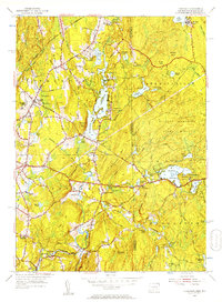
 1955 Slocum1957 Print · USGSCentral Rhode Island in the mid-fifties is defined by its rural crossroads and woodland preserves. Genealogists and historians can trace the footprint of Slocum, find the Exeter State Sch, and follow the New York New Haven and Hartford Railroad as it passes Yawgoo Pond.5 unique versions available
 - 1955 Map of Coventry Center, 1957 Print
 1955 Coventry Center1957 Print · USGSWestern Rhode Island's rural landscape is captured here in the mid-1950s, showing a region defined by river reservoirs and small rail-stop villages. Researchers can trace family-named hills and old landmarks like Mt Vernon Ch, Kitts Corner, and the Jackson Quarry.5 unique versions available
 - 1955 Map of Thompson, 1957 Print
 1955 Thompson1957 Print · USGSNortheastern Connecticut and the Rhode Island border are captured here in the mid-fifties, showing a landscape of scattered mill villages and expansive state forests. Genealogists and local historians can trace family roots at Dike Cem or locate old community hubs like East Putnam and Ballouville.2 unique versions available
 - 1955 Map of Chepachet, 1957 Print
 1955 Chepachet1957 Print · USGSProvidence County’s mill towns and reservoir systems are preserved here in the mid-fifties. Genealogists and hikers can trace the New York New Haven and Hartford Railroad and explore landmarks like Acote Hill or Burrillville High Sch.5 unique versions available
 - 1955 Map of Clayville, 1957 Print
 1955 Clayville1957 Print · USGSProvidence County in the mid-fifties is captured here as a landscape of sprawling reservoirs and quiet rural crossroads. Researchers can trace the layout of Foster Center and South Foster, locating the Paine Sch, Wilder Cem, and the prominent Chopmist Hill tower.5 unique versions available
Showing maps 1-25 of 39
Top cities of Rhode Island
- Providence historical maps
- Warwick historical maps
- Cranston historical maps
- Pawtucket historical maps
- East Providence historical maps
- Woonsocket historical maps
See more
Top counties of Rhode Island
- Providence County historical maps
- Kent County historical maps
- South County historical maps
- Newport County historical maps
- Bristol County historical maps
Frequently asked questions
- What are the different types of historical maps available for Rhode Island?
- What is the oldest map of Rhode Island?
- Where can I purchase historical maps of Rhode Island for my home or office?
- Where can I download high-res historical maps of Rhode Island?
- Are there historical topographic maps available for Rhode Island?
- Is there historical aerial imagery available for Rhode Island?
- Where are historical maps of Rhode Island sourced from?