2020s Maps of Little Compton, Rhode Island
Explore 8 historic maps of Little Compton from the 2020s. These maps offer a rare glimpse into what life looked like during the 2020s — showing old roads, neighborhoods, homes, and landmarks that have changed or disappeared over time.
Whether you're researching your family's past, planning a metal detecting trip, or studying how Little Compton's landscape evolved across the 2020s, these high-resolution maps are a powerful tool for exploring the history of this region.
- Focus on a specific era: All maps on this page are from the 2020s, giving you a focused view of this time period.
- See what’s changed: Compare century-old streets, trails, and buildings to today's modern landscape using overlays and satellite layers.
- Research with precision: Use these maps for genealogy, historical research, land use analysis, or educational projects.
- View, download, or print: Maps are fully viewable online in high resolution, and can be downloaded or printed for your own records.
Start exploring Little Compton's history through authentic maps from the 2020s. This is your window into the past.
Little Compton, RI maps
(8)- 2021 Map of Head of Westport, 2021 Print
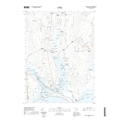 2021 Head of Westport2021 Print · USGSCovers Little Compton, including Dartmouth, Westport, and other nearby areas
 - 2021 Map of Head of Westport OE S, 2021 Print
 2021 Head of Westport OE S2021 Print · USGSCovers Little Compton, including Westport, Gosnold, and other nearby areas
 - 2021 Map of Sakonnet Point, 2021 Print
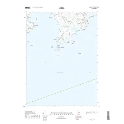 2021 Sakonnet Point2021 Print · USGSCovers Little Compton, including Middletown, Newport County, and other nearby areas
 - 2021 Map of Tiverton, 2021 Print
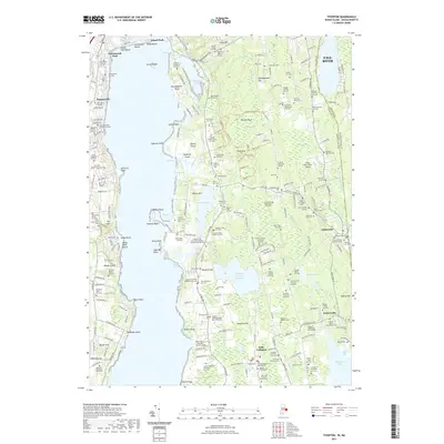 2021 Tiverton2021 Print · USGSCovers Little Compton, including Fall River, Portsmouth, and other nearby areas
 - 2024 Map of Sakonnet Point, 2024 Print
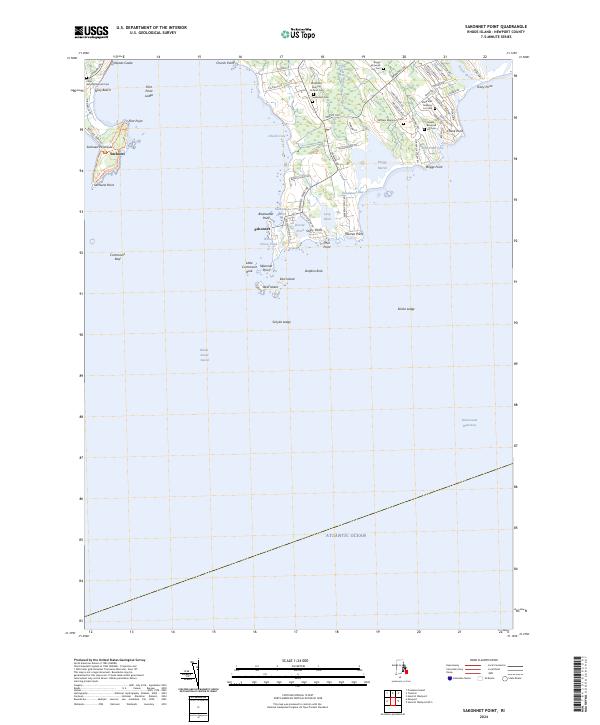 2024 Sakonnet Point2024 Print · USGSSakonnet Point and the surrounding Rhode Island coastline appear here in contemporary detail, showing a landscape shaped by conservation and historic family lineages. Genealogists can locate several family burial sites like Seaconnet Cem and the William Briggs Lot Cem near Sakonnet.
 - 2024 Map of Head of Westport OE S, 2024 Print
 2024 Head of Westport OE S2024 Print · USGSCoastal Massachusetts and Rhode Island are captured in this maritime survey, where the land meets the open Atlantic Ocean. Trace seafaring history and family-named landmarks like Joe Burris Ledge, Gooseberry Neck, and the famously named Hen and Chickens.
 - 2024 Map of Head of Westport, 2024 Print
 2024 Head of Westport2024 Print · USGSThe Bristol County coast in the twenty-first century reveals a landscape still deeply anchored by its maritime roots and family legacies. Genealogists can trace hundreds of names across burial sites like Lyon Burial Ground and Friends Cem near Acoaxet.
 - 2024 Map of Tiverton, 2024 Print
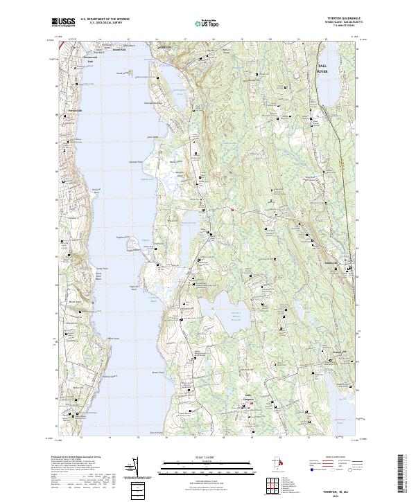 2024 Tiverton2024 Print · USGSThe coastal area of Little Compton and Tiverton is shown in this detailed 2024 survey at the Sakonnet River. Researchers can trace dozens of family burial sites like Stone Church Cem and the Quaker Meeting House Burial Ground, alongside landmarks like Wing-Over Farm Airport.
End of results
Showing maps 1-8 of 8
Top cities near Little Compton
- New Bedford historical maps
- Fall River historical maps
- Warwick historical maps
- Cranston historical maps
- Dartmouth historical maps
- Bristol historical maps
See more
Top neighborhoods of Little Compton
- Adamsville historical maps
- Pottersville historical maps
- Bahia Corner historical maps
- Sakonnet historical maps
Frequently asked questions
- What are the different types of historical maps available for Little Compton?
- What is the oldest map of Little Compton?
- Where can I purchase historical maps of Little Compton for my home or office?
- Where can I download high-res historical maps of Little Compton?
- Are there historical topographic maps available for Little Compton?
- Is there historical aerial imagery available for Little Compton?
- Where are historical maps of Little Compton sourced from?