2000s (21st Century) Maps of Quonochontaug, Charlestown
Explore 6 historic maps of Quonochontaug from the 2000s (21st Century). These maps offer a rare glimpse into what life looked like during the 2000s — showing old roads, neighborhoods, homes, and landmarks that have changed or disappeared over time.
Whether you're researching your family's past, planning a metal detecting trip, or studying how Quonochontaug's landscape evolved across the 2000s, these high-resolution maps are a powerful tool for exploring the history of this region.
- Focus on a specific era: All maps on this page are from the 2000s, giving you a focused view of this time period.
- See what’s changed: Compare century-old streets, trails, and buildings to today's modern landscape using overlays and satellite layers.
- Research with precision: Use these maps for genealogy, historical research, land use analysis, or educational projects.
- View, download, or print: Maps are fully viewable online in high resolution, and can be downloaded or printed for your own records.
Start exploring Quonochontaug's history through authentic maps from the 2000s. This is your window into the past.
Quonochontaug, Charlestown maps
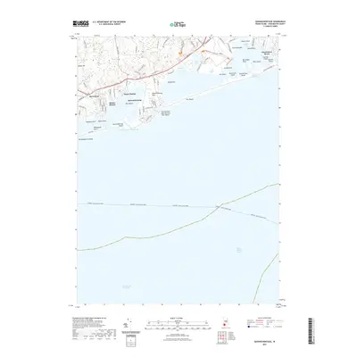
(6)- 2001 Map of Quonochontaug, 2003 Print
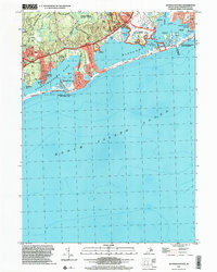 2001 Quonochontaug2003 Print · USGSThe Rhode Island coast comes alive in this millennial-era survey of the salt ponds and barrier beaches. Trace the residential growth of Shelter Harbor and Haversham, and locate local landmarks like the Drive-In Theater and Quonochontaug Breachway.
 - 2012 Map of Quonochontaug, 2012 Print
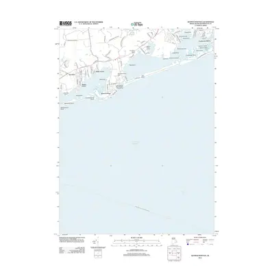 2012 Quonochontaug2012 Print · USGSCovers Quonochontaug, including Westerly, Charlestown, and other nearby areas
 - 2015 Map of Quonochontaug, 2015 Print
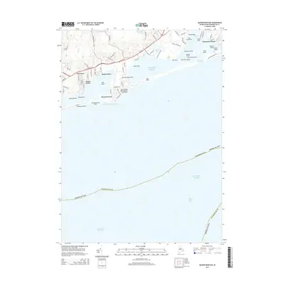 2015 Quonochontaug2015 Print · USGSCovers Quonochontaug, including Westerly, Charlestown, and other nearby areas
 - 2018 Map of Quonochontaug, 2018 Print
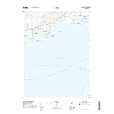 2018 Quonochontaug2018 Print · USGSCovers Quonochontaug, including Westerly, Charlestown, and other nearby areas
 - 2021 Map of Quonochontaug, 2021 Print
 2021 Quonochontaug2021 Print · USGSCovers Quonochontaug, including Westerly, Charlestown, and other nearby areas
 - 2024 Map of Quonochontaug, 2024 Print
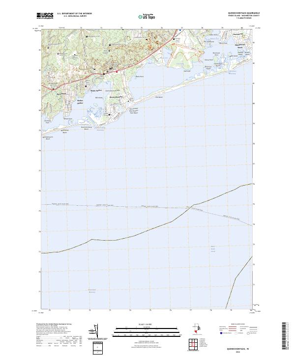 2024 Quonochontaug2024 Print · USGSThe Rhode Island coast in recent years remains a landscape of tidal breachways and deep family roots. Genealogists can locate numerous small burial sites like the Benjamin Hazard Ground Cem and Peter English Lot Cem near the Ninigret National Wildlife Refuge.
End of results
Showing maps 1-6 of 6
Top cities near Quonochontaug
- South Kingstown historical maps
- East Hampton historical maps
- North Kingstown historical maps
- Southold historical maps
- Westerly historical maps
- Narragansett historical maps
See more
Frequently asked questions
- What are the different types of historical maps available for Quonochontaug?
- What is the oldest map of Quonochontaug?
- Where can I purchase historical maps of Quonochontaug for my home or office?
- Where can I download high-res historical maps of Quonochontaug?
- Are there historical topographic maps available for Quonochontaug?
- Is there historical aerial imagery available for Quonochontaug?
- Where are historical maps of Quonochontaug sourced from?