Old Maps of Ashaway, Hopkinton for Genealogy
Trace your family roots with 19 historic maps of Ashaway. These high-res maps reveal old neighborhoods, homesites, landmarks, and streets — helping you uncover where your ancestors lived and how the area evolved over time.
- Explore historic neighborhoods: Identify where your relatives may have lived in the 1800s or 1900s.
- Compare maps over time: Trace the changes in streets, buildings, and landmarks for multi-generational research.
- Perfect for genealogy & ancestry research: Used by family historians and researchers to map out lineage and migration.
These maps are an incredible resource for exploring your personal connection to Ashaway's past.
Ashaway, Hopkinton maps
(19)- 1889 Map of Stonington
 1889 Stonington1889 Print · USGSThe Connecticut and Rhode Island borderlands are documented here at the height of the maritime and rail era. Genealogists and historians can trace family-named hills like Stewart Hill or locate industrial sites such as the Silax Mine and the rail hub at Mystic Bridge.
 - 1893 Map of Stonington
 1893 Stonington1893 Print · USGSThe coastal borderlands of Connecticut and Rhode Island are captured here in the late nineteenth century, showing a landscape defined by maritime trade and river power. Genealogists can trace family landmarks like Ayer Hill and Pequot Hill or locate industrial sites such as the Silex Mine.10 unique versions available
 - 1921 Map of Stonington
 1921 Stonington1921 Print · USGSCoastal Connecticut and Rhode Island meet here between the wars, where river and rail drive the regional economy. Genealogists can trace family footprints in North Stonington and Westerly, or locate the Silex Mine and the Light House at Stonington.
 - 1942 Map of Block Island, 1943 Print
 1942 Block Island1943 Print · USGSThe coastal borderlands of Rhode Island and Connecticut are captured here during the wartime years, documenting a landscape defined by rail and sea. Researchers can trace the NY NH & H RR through historic mill villages or locate landmarks like the Silex Mine and Indian Burying Hill.2 unique versions available
 - 1943 Map of Ashaway
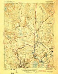 1943 Ashaway1943 Print · USGSThe Rhode Island-Connecticut borderlands during the early 1940s are defined here by textile-mill settlements and old turnpikes. Genealogists can trace family names and sites from Stillmanville to Potter Hill, including landmarks like Oak Grove Cem and St Michael Cem.2 unique versions available
 - 1947 Map of Providence, 1948 Print
 1947 Providence1948 Print · USGSSouthern New England is captured in the mid-1940s, showing a landscape defined by busy industrial ports and expanding military installations. Researchers can trace the rail lines of the N.Y. N.H. & H. RR or locate coastal defenses like Fort Adams and Quonset Point.5 unique versions available
 - 1948 Map of Providence, 1951 Print
 1948 Providence1951 Print · USGSSouthern New England’s coastal reaches are captured here in the late 1940s, from the industrial heart of Providence to the tip of Provincetown. Genealogists and historians can trace rail lines like the Central Vermont Railway and locate active military sites such as Otis Air Force Base and Fort Rodman.
 - 1953 Map of Ashaway, 1955 Print
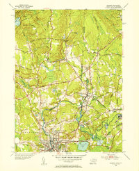 1953 Ashaway1955 Print · USGSThe borderlands of Connecticut and Rhode Island are captured here in the mid-1950s, centered on the river-powered mill towns of the Pawcatuck Valley. Researchers can trace historic industrial sites and neighborhood roots in Westerly, Ashaway, and the riverside hamlet of Potter Hill.5 unique versions available
 - 1957 Map of Providence
 1957 Providence1957 Print · USGSCoastal New England at the height of the mid-century era shows a landscape shaped by maritime industry and Cold War defense. Genealogists and historians can trace the reach of the New York, New Haven & Hartford RR and locate legacy sites like Fort Adams and Quonset Point Naval Air Station.
 - 1958 Map of Providence
 1958 Providence1958 Print · USGSThe Rhode Island and Massachusetts coastlines are shown in detail during the late 1950s, from the urban cores to the tips of the islands. Researchers can trace the mid-century footprint of Quonset Point Naval Air Station, the defense works at Fort Adams, and the rail network of the New York, New Haven and Hartford RR.
 - 1963 Map of Providence
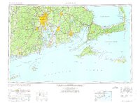 1963 Providence1963 Print · USGSSouthern New England's coastal and industrial heartland is captured here in the early sixties, from the Rhode Island mainland to the far reaches of the Cape. Researchers can trace mid-century growth in Providence or locate landmarks on Marthas Vineyard and Nantucket Island.
 - 1984 Map of Block Island
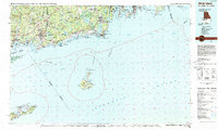 1984 Block Island1984 Print · USGSThe coastal borderlands of Rhode Island, Connecticut, and New York are captured here in the mid-eighties, from the rail hubs of Westerly to the shores of Block Island. Genealogists and historians can trace the shoreline's evolution through landmarks like the Pequot Indian Res, New Shoreham, and Narragansett Pier.
 - 1984 Map of Ashaway, 1985 Print
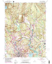 1984 Ashaway1985 Print · USGSThe Rhode Island and Connecticut border comes alive in the mid-eighties as a landscape of river-driven industry and forest management. Genealogists and historians can trace the development of riverside villages like Potter Hill and White Rock or follow the path of the Conrail line.2 unique versions available
 - 2001 Map of Ashaway, 2003 Print
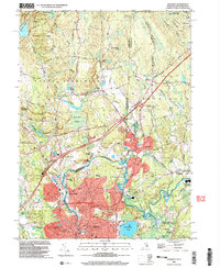 2001 Ashaway2003 Print · USGSThe Rhode Island and Connecticut borderlands come alive in the early 2000s, showing the industrial river towns of Pawcatuck and Ashaway. Genealogists and historians can trace family-named sites from Potter Hill to the St Michael Cem and Ward High Sch.
 - 2012 Map of Ashaway, 2012 Print
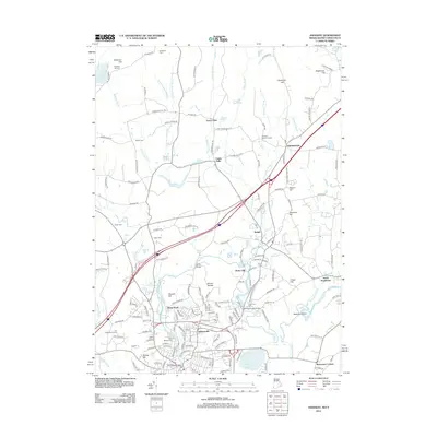 2012 Ashaway2012 Print · USGSThe Rhode Island and Connecticut borderlands appear here in the early twenty-first century, centered on the river-fed industrial settlements of the Pawcatuck. Researchers can trace local lineage through several burial sites like Maine Cem and the Friends Burial Ground, or locate the historic Meeting-House Bridge.
 - 2015 Map of Ashaway, 2015 Print
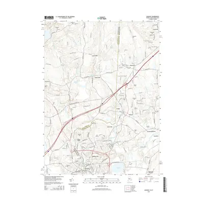 2015 Ashaway2015 Print · USGSThe borderlands of Rhode Island and Connecticut are captured here during the mid-2010s, centered on the historic mill towns along the Pawcatuck River. Researchers can locate dozens of family burial plots like the Sarah Larkin Lot or trace the early paths of Stillmanville and Ashaway.
 - 2018 Map of Ashaway, 2018 Print
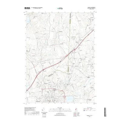 2018 Ashaway2018 Print · USGSSpanning the river border of Rhode Island and Connecticut, this late 2010s survey captures the industrial and agricultural heritage of the South County region. Researchers can locate dozens of historic family burial sites like the Oatley Plot or visit the riverside remains of Potter Hill and White Rock.
 - 2021 Map of Ashaway, 2021 Print
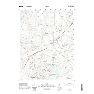 2021 Ashaway2021 Print · USGSThe borderlands of Rhode Island and Connecticut are captured here in the early twenty-first century, centered on the Pawcatuck River corridor. Genealogists can trace dozens of family burial sites including the Spicer Plot, Burton Plot, and Elias Lewis Plot near Hopkinton and Ashaway.
 - 2024 Map of Ashaway, 2024 Print
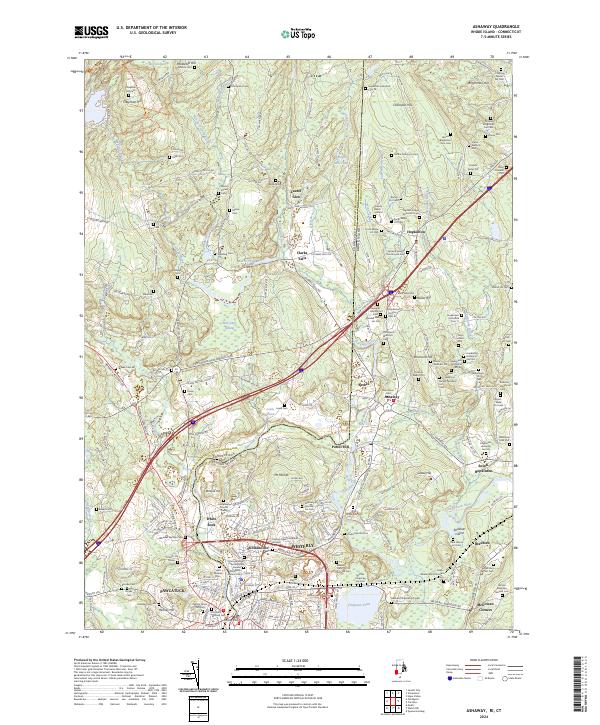 2024 Ashaway2024 Print · USGSThe Rhode Island and Connecticut borderlands along the Pawcatuck River maintain their historic character in this modern survey. Genealogists and local historians can locate dozens of family burial sites, including the Francis Tanner Lot Cem, Burton Lot Cem, and Kindal Oatley Lot Cem.
End of results
Showing maps 1-19 of 19
Top cities near Ashaway
- Groton historical maps
- South Kingstown historical maps
- East Hampton historical maps
- Southold historical maps
- Westerly historical maps
- Plainfield historical maps
See more
Frequently asked questions
- What are the different types of historical maps available for Ashaway?
- What is the oldest map of Ashaway?
- Where can I purchase historical maps of Ashaway for my home or office?
- Where can I download high-res historical maps of Ashaway?
- Are there historical topographic maps available for Ashaway?
- Is there historical aerial imagery available for Ashaway?
- Where are historical maps of Ashaway sourced from?