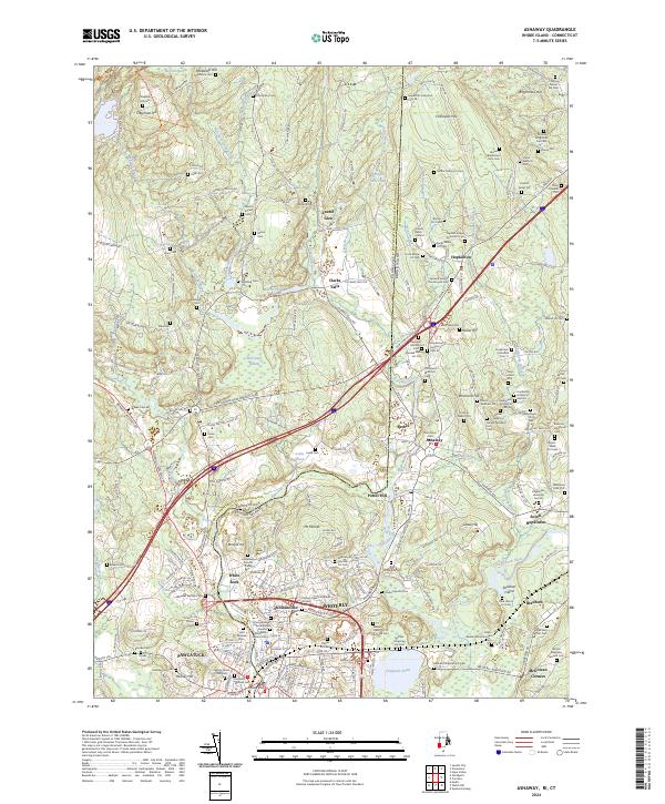
2024 Map of Ashaway
USGS Topo · Published 2024About this map
Pawcatuck and the surrounding borderlands of Rhode Island and Connecticut are defined by the winding course of the Pawcatuck River. The landscape is heavily marked by colonial and early American history, evidenced by an exceptional density of family burial plots and municipal graveyards such as Hopkinton Historical Cem 39 and the Friend's Burial Ground. The region’s development is tied closely to its water resources, with settlements like Potter Hill, Stillmanville, and Clarks Falls situated near falls or mill ponds. Significant wetlands, including Hetchel Swamp and Bell Cedar Swamp, break up the terrain between the hills. The transit network reflects layers of movement through the valley, from the historic Providence-New London Tpke to the rail corridor near Cooky Hill. This survey provides a modern topographical look at the Wood-Pawcatuck Watershed Wild and Scenic River, capturing the current state of these long-established New England villages.
Find a feature on this map
135 named features on this map. Tap any name to fly to it.
Don’t see what you’re looking for? This feature index may not catch every label — zoom into the map to look around manually.
Map Details
Editions of this 2024 Ashaway Map
This is the sole edition of this map. No revisions or reprints were ever made.
Other maps of this area

1889 · Stonington
USGS Topo · 1:62,500

1889 · Charlestown
USGS Topo · 1:62,500

1889 · Moosup
USGS Topo · 1:62,500

1890 · Kent
USGS Topo · 1:62,500

1893 · Moosup
USGS Topo · 1:62,500

1893 · Stonington
USGS Topo · 1:62,500

1894 · Kent
USGS Topo · 1:62,500

1919 · Charlestown
USGS Topo · 1:62,500

1920 · Moosup
USGS Topo · 1:62,500

1921 · Charlestown
USGS Topo · 1:62,500