2000s (21st Century) Maps of Shiprock Agency
Explore 440 historic maps of Shiprock Agency from the 2000s (21st Century). These maps offer a rare glimpse into what life looked like during the 2000s — showing old roads, neighborhoods, homes, and landmarks that have changed or disappeared over time.
Whether you're researching your family's past, planning a metal detecting trip, or studying how Shiprock Agency's landscape evolved across the 2000s, these high-resolution maps are a powerful tool for exploring the history of this region.
- Focus on a specific era: All maps on this page are from the 2000s, giving you a focused view of this time period.
- See what’s changed: Compare century-old streets, trails, and buildings to today's modern landscape using overlays and satellite layers.
- Research with precision: Use these maps for genealogy, historical research, land use analysis, or educational projects.
- View, download, or print: Maps are fully viewable online in high resolution, and can be downloaded or printed for your own records.
Start exploring Shiprock Agency's history through authentic maps from the 2000s. This is your window into the past.
Shiprock Agency maps
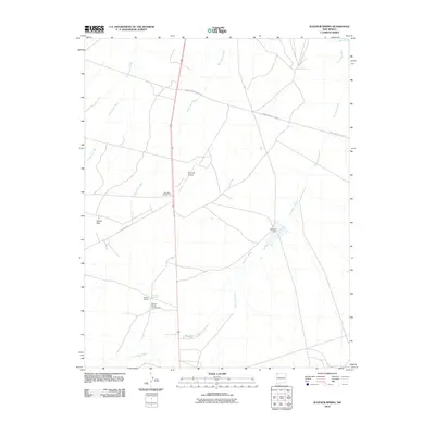
(440)- 2010 Map of Shiprock, 2010 Print
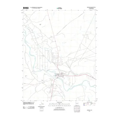 2010 Shiprock2010 Print · USGSCovers Shiprock Agency, including Shiprock, San Juan County, and other nearby areas
 - 2010 Map of Bisti Trading Post, 2010 Print
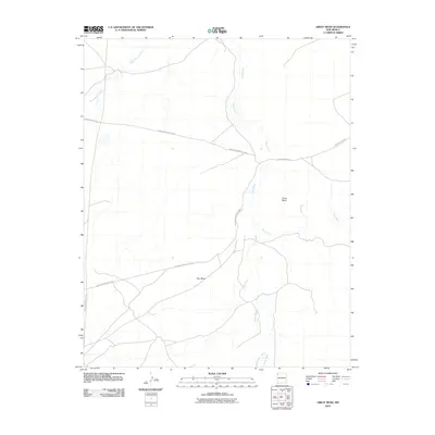
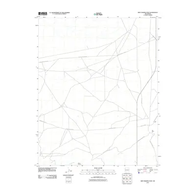 2010 Bisti Trading Post2010 Print · USGSCovers Shiprock Agency, including Eastern Navajo Agency, Bisti, and other nearby areas
 - 2010 Map of The Hogback South, 2010 Print
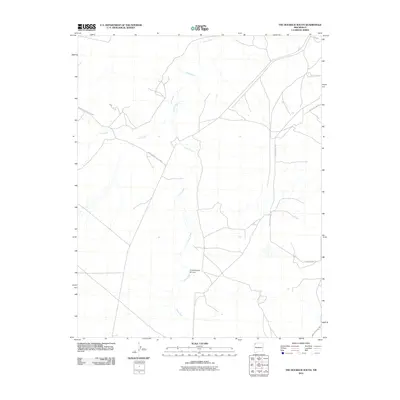 2010 The Hogback South2010 Print · USGSCovers Shiprock Agency, including San Juan County, United States, and other nearby areas
 - 2010 Map of Newcomb NE, 2010 Print
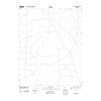 2010 Newcomb NE2010 Print · USGSCovers Shiprock Agency, including San Juan County, United States, and other nearby areas
 - 2010 Map of Kirtland SE, 2010 Print
 2010 Kirtland SE2010 Print · USGSCovers Shiprock Agency, including Eastern Navajo Agency, San Juan County, and other nearby areas
 - 2010 Map of Table Mesa, 2010 Print
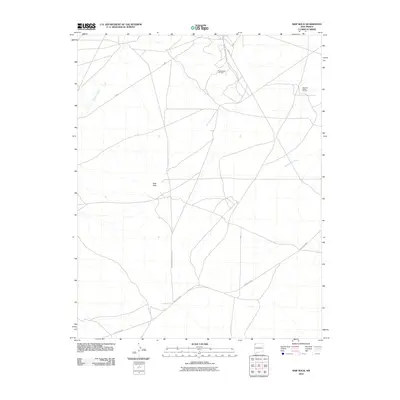
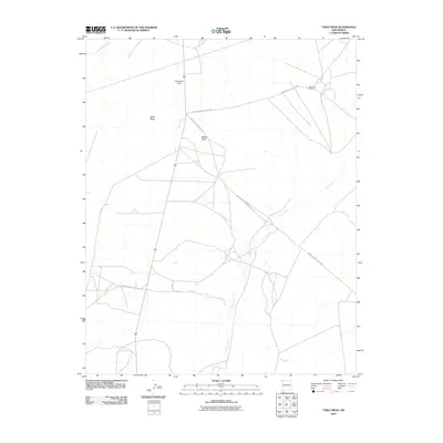 2010 Table Mesa2010 Print · USGSCovers Shiprock Agency, including San Juan County, United States, and other nearby areas
 - 2010 Map of Ship Rock, 2010 Print
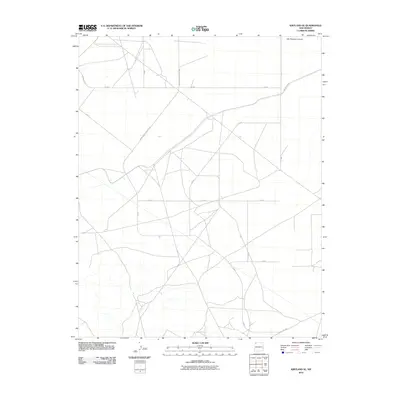
 2010 Ship Rock2010 Print · USGSCovers Shiprock Agency, including San Juan County, United States, and other nearby areas
 - 2010 Map of Yellow Hill, 2010 Print
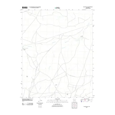 2010 Yellow Hill2010 Print · USGSCovers Shiprock Agency, including San Juan County, United States, and other nearby areas
 - 2010 Map of Burnham Trading Post, 2010 Print
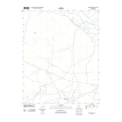
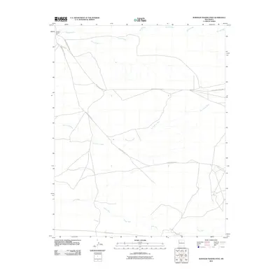 2010 Burnham Trading Post2010 Print · USGSCovers Shiprock Agency, including Burnham, San Juan County, and other nearby areas
 - 2010 Map of Canal Creek, 2010 Print
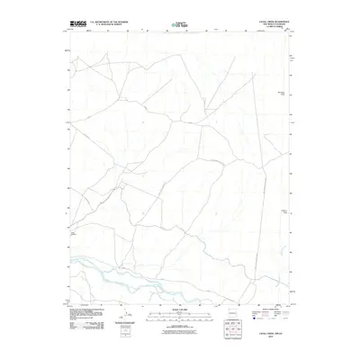 2010 Canal Creek2010 Print · USGSCovers Shiprock Agency, including San Juan County, Montezuma County, and other nearby areas
 - 2010 Map of Great Bend, 2010 Print
 2010 Great Bend2010 Print · USGSCovers Shiprock Agency, including Fort Defiance Agency, San Juan County, and other nearby areas
 - 2010 Map of Rattlesnake, 2010 Print
 2010 Rattlesnake2010 Print · USGSCovers Shiprock Agency, including Rattlesnake, Gadii'ahi, and other nearby areas
 - 2010 Map of The Hogback North, 2010 Print
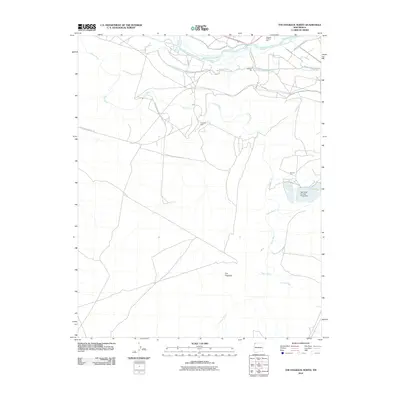 2010 The Hogback North2010 Print · USGSCovers Shiprock Agency, including San Juan, San Juan County, and other nearby areas
 - 2010 Map of Sand Spring, 2010 Print
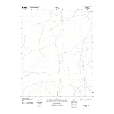 2010 Sand Spring2010 Print · USGSCovers Shiprock Agency, including San Juan County, United States, and other nearby areas
 - 2010 Map of Little Water, 2010 Print
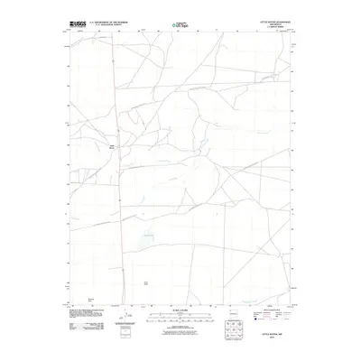 2010 Little Water2010 Print · USGSCovers Shiprock Agency, including Little Water, San Juan County, and other nearby areas
 - 2010 Map of The Pillar, 2010 Print
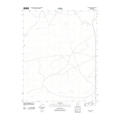 2010 The Pillar2010 Print · USGSCovers Shiprock Agency, including Eastern Navajo Agency, San Juan County, and other nearby areas
 - 2010 Map of Crystal, 2010 Print
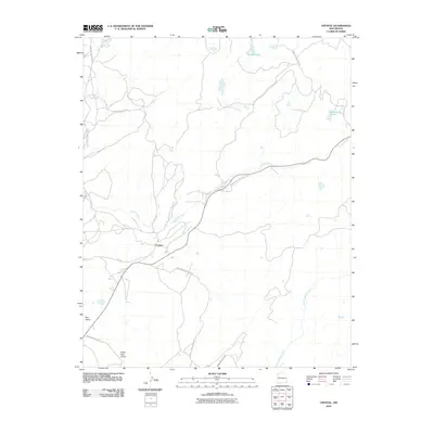 2010 Crystal2010 Print · USGSCovers Shiprock Agency, including Fort Defiance Agency, Áshįįshzhiin, and other nearby areas
 - 2010 Map of East of Great Bend, 2010 Print
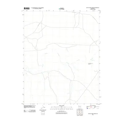 2010 East of Great Bend2010 Print · USGSCovers Shiprock Agency, including Fort Defiance Agency, Eastern Navajo Agency, and other nearby areas
 - 2010 Map of Sanostee West, 2010 Print
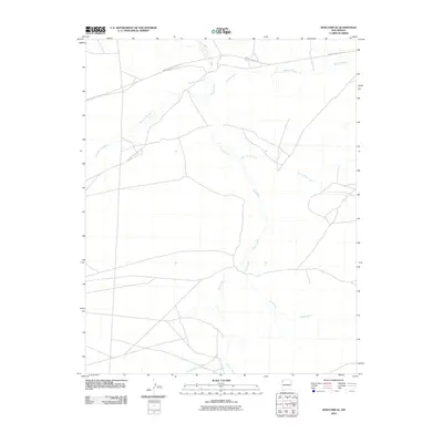
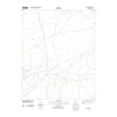
 2010 Sanostee West2010 Print · USGSCovers Shiprock Agency, including San Juan County, United States, and other nearby areas
 - 2010 Map of Newcomb SE, 2010 Print
 2010 Newcomb SE2010 Print · USGSCovers Shiprock Agency, including San Juan County, United States, and other nearby areas
 - 2010 Map of Sulphur Spring, 2010 Print
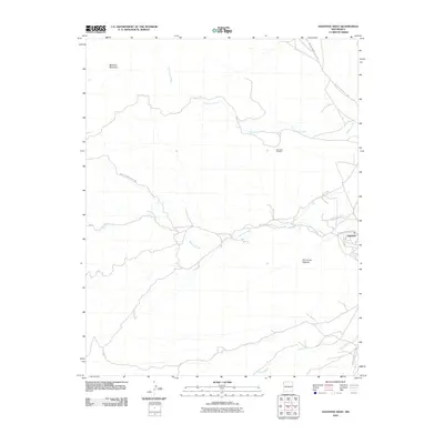
 2010 Sulphur Spring2010 Print · USGSCovers Shiprock Agency, including San Juan County, United States, and other nearby areas
 - 2010 Map of Newcomb, 2010 Print
 2010 Newcomb2010 Print · USGSCovers Shiprock Agency, including Newcomb, San Juan County, and other nearby areas
 - 2010 Map of Old Pine Spring, 2010 Print
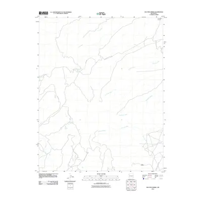 2010 Old Pine Spring2010 Print · USGSCovers Shiprock Agency, including San Juan County, United States, and other nearby areas
 - 2010 Map of Fruitland, 2010 Print
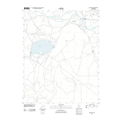 2010 Fruitland2010 Print · USGSCovers Shiprock Agency, including Nenahnezad, Kirtland, and other nearby areas
 - 2010 Map of Naschitti, 2010 Print
 2010 Naschitti2010 Print · USGSCovers Shiprock Agency, including Fort Defiance Agency, Naschitti, and other nearby areas
Showing maps 1-25 of 440
Top cities near Shiprock Agency
Top neighborhoods of Shiprock Agency
- Horse Mesa historical maps
- Beclabito historical maps
- Little Water historical maps
- Tselakai Dezza historical maps
- Twin Falls historical maps
- Rattlesnake historical maps
See more
Frequently asked questions
- What are the different types of historical maps available for Shiprock Agency?
- What is the oldest map of Shiprock Agency?
- Where can I purchase historical maps of Shiprock Agency for my home or office?
- Where can I download high-res historical maps of Shiprock Agency?
- Are there historical topographic maps available for Shiprock Agency?
- Is there historical aerial imagery available for Shiprock Agency?
- Where are historical maps of Shiprock Agency sourced from?