1960s Maps of Anderson County, South Carolina
Explore 6 historic maps of Anderson County from the 1960s. These maps offer a rare glimpse into what life looked like during the 1960s — showing old roads, neighborhoods, homes, and landmarks that have changed or disappeared over time.
Whether you're researching your family's past, planning a metal detecting trip, or studying how Anderson County's landscape evolved across the 1960s, these high-resolution maps are a powerful tool for exploring the history of this region.
- Focus on a specific era: All maps on this page are from the 1960s, giving you a focused view of this time period.
- See what’s changed: Compare century-old streets, trails, and buildings to today's modern landscape using overlays and satellite layers.
- Research with precision: Use these maps for genealogy, historical research, land use analysis, or educational projects.
- View, download, or print: Maps are fully viewable online in high resolution, and can be downloaded or printed for your own records.
Start exploring Anderson County's history through authentic maps from the 1960s. This is your window into the past.
Anderson County, SC maps
(6)- 1960 Map of Reed Creek, 1963 Print
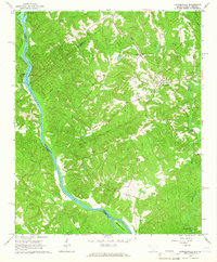
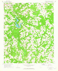
 1960 Reed Creek1963 Print · USGSThe Georgia and South Carolina border is caught in a moment of transition during the 1960s as the Hartwell Reservoir fills the valley. Researchers can trace old family landmarks and rural congregations like Sharon Ch, Cleveland Cem, and the community of Maretts.3 unique versions available
 - 1964 Map of Iva
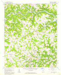
 1964 Iva1964 Print · USGSUpper South Carolina in the mid-sixties reveals a landscape of railroad towns and country congregations along the Georgia border. Genealogists can trace family footprints through numerous rural landmarks like Goodhope Cem, Barnes Station, and Pleasant Grove Ch.3 unique versions available
 - 1964 Map of Antreville, 1965 Print
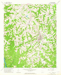
 1964 Antreville1965 Print · USGSThe rural border of Abbeville and Anderson counties is captured here in the mid-sixties, centered on the winding waters of Secession Lake. Genealogists can locate numerous landmarks including the Antreville School, Hall-Cromer Cem, and Shiloh Ch.
 - 1964 Map of Lowndesville, 1965 Print
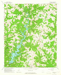
 1964 Lowndesville1965 Print · USGSThe South Carolina and Georgia borderlands near the Savannah River are captured here in the mid-1960s. Genealogists can trace family roots through numerous sites like Old McCalla Cemetery, Smyrna Church, and the Atlantic Coast Line rail corridor.3 unique versions available
 - 1964 Map of Saylors Crossroads, 1965 Print
 1964 Saylors Crossroads1965 Print · USGSAnderson County's rural heartland is captured here in the mid-sixties, showing a landscape shaped by the Rocky River and the waters of Broadway Lake. Genealogists and local historians can trace the foundations of Saylors Crossroads or locate rural landmarks like New Mount Pleasant Ch and McFall Cem.2 unique versions available
 - 1964 Map of Anderson South, 1965 Print
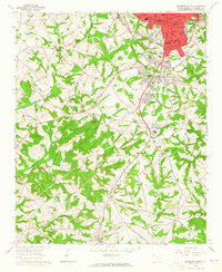 1964 Anderson South1965 Print · USGSThe southern fringes of ANDERSON and the surrounding Piedmont countryside are captured in the early sixties as suburban growth met traditional rural life. Researchers can trace family sites near Silverbrook Cemetery or follow the rails to historic stops like Deans and Starr.3 unique versions available
End of results
Showing maps 1-6 of 6
Top cities of Anderson County
- Anderson historical maps
- Belton historical maps
- Williamston historical maps
- Honea Path historical maps
- Pendleton historical maps
- Iva historical maps
See more
Frequently asked questions
- What are the different types of historical maps available for Anderson County?
- What is the oldest map of Anderson County?
- Where can I purchase historical maps of Anderson County for my home or office?
- Where can I download high-res historical maps of Anderson County?
- Are there historical topographic maps available for Anderson County?
- Is there historical aerial imagery available for Anderson County?
- Where are historical maps of Anderson County sourced from?