2020s Maps of Anderson County, South Carolina
Explore 48 historic maps of Anderson County from the 2020s. These maps offer a rare glimpse into what life looked like during the 2020s — showing old roads, neighborhoods, homes, and landmarks that have changed or disappeared over time.
Whether you're researching your family's past, planning a metal detecting trip, or studying how Anderson County's landscape evolved across the 2020s, these high-resolution maps are a powerful tool for exploring the history of this region.
- Focus on a specific era: All maps on this page are from the 2020s, giving you a focused view of this time period.
- See what’s changed: Compare century-old streets, trails, and buildings to today's modern landscape using overlays and satellite layers.
- Research with precision: Use these maps for genealogy, historical research, land use analysis, or educational projects.
- View, download, or print: Maps are fully viewable online in high resolution, and can be downloaded or printed for your own records.
Start exploring Anderson County's history through authentic maps from the 2020s. This is your window into the past.
Anderson County, SC maps
(48)- 2020 Map of Due West, 2020 Print
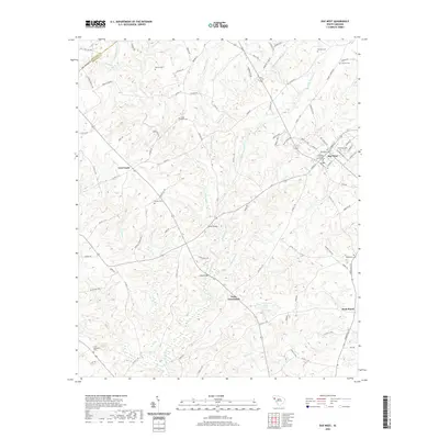 2020 Due West2020 Print · USGSThe upstate South Carolina countryside surrounding Due West is documented here in the early twenty-first century. Researchers can trace local lineage through a dozen community landmarks, including Erskine College and Seminary, Winona Cem, and the rural settlement of Level Land.
 - 2020 Map of Greenville, 2020 Print
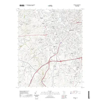 2020 Greenville2020 Print · USGSGreenville and its surrounding textile and rail suburbs are captured here in the early twenty-first century. Researchers can trace family history through numerous documented sites like the Christ Church Cem, the old P & N RR corridor, and Nicholtown.
 - 2020 Map of Belton East, 2020 Print
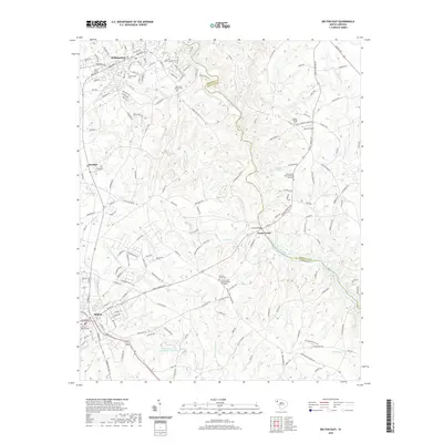 2020 Belton East2020 Print · USGSAnderson and Greenville counties meet along the winding Saluda River in this modern survey of the South Carolina Piedmont. Genealogists and local historians can trace family plots at Big Creek Baptist Cem, Shadow Grove Cem, and Beech Springs Cem.
 - 2020 Map of Pelzer, 2020 Print
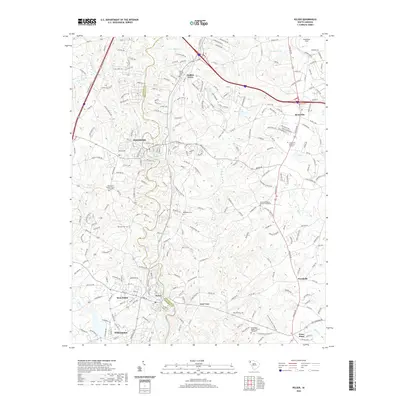 2020 Pelzer2020 Print · USGSThe riverfront towns of Piedmont and Pelzer are captured here as they straddle the Saluda River in the modern era. Researchers can trace family sites at Harrison Cem and Oak Grove Baptist Church Graveyard or explore the growth of Moonville and Woodville.
 - 2020 Map of Easley, 2020 Print
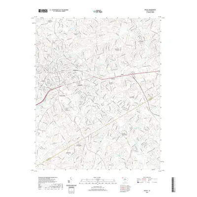 2020 Easley2020 Print · USGSThe Upstate Piedmont surrounding Easley appears in this recent survey during a period of sustained suburban and educational growth. Genealogists and local historians can trace family plots at Antioch United Methodist Church and Easley Mill Cem.
 - 2020 Map of Antreville, 2020 Print
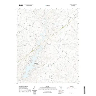 2020 Antreville2020 Print · USGSThe crossroads of Antreville and the shores of Lake Secession come into focus in this recent study of the Abbeville County Piedmont. Researchers can trace family sites at Carswell Baptist Cemetery, Leverett Cemetery, and Lees Shoals.
 - 2020 Map of Liberty, 2020 Print
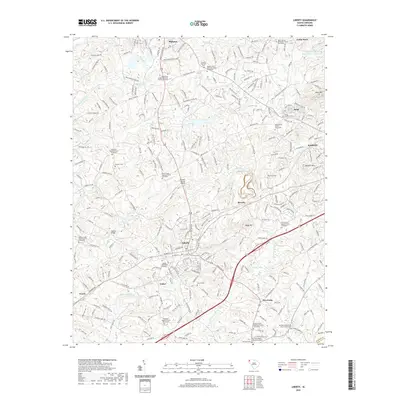 2020 Liberty2020 Print · USGSUpstate South Carolina is captured here in the early twenty-first century, showing the established communities of Liberty and Pickens. Genealogists can trace numerous historic burial sites, including the Carmel Presbyterian Church Graveyard and Hendricks Cemetery.
 - 2020 Map of Belton West, 2020 Print
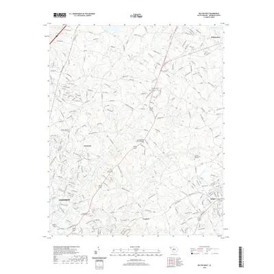 2020 Belton West2020 Print · USGSAnderson County's rural church communities and waterways are meticulously documented here in the contemporary era. Researchers can trace family history through numerous church sites and burial grounds like Eureka Baptist Church Graveyard and Dorchester Baptist Church Graveyard.
 - 2020 Map of Ware Shoals West, 2020 Print
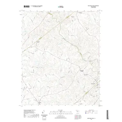 2020 Ware Shoals West2020 Print · USGSThe Saluda River valley is captured here in the 2020s, showing a landscape defined by many county boundaries and river shoals. Genealogists can trace family landmarks and cemeteries near Princeton Baptist Church, Donalds, and the quiet community of Blue Heaven.
 - 2020 Map of Fair Play, 2020 Print
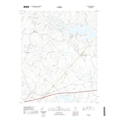 2020 Fair Play2020 Print · USGSAnderson and Oconee Counties at the turn of the decade show a landscape of rising waters and rural settlements. Genealogists can trace family connections through the Townville Baptist Church Graveyard, Hays Cem, and the old community at Earles Grove.
 - 2020 Map of Piercetown, 2020 Print
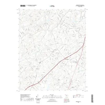 2020 Piercetown2020 Print · USGSAnderson County settlements like Piercetown and White Plains are shown in contemporary detail within this South Carolina landscape. Genealogists can trace family roots through several landmarks including the Friendship Baptist Church Graveyard and Beulah Methodist Cem.
 - 2020 Map of Clemson, 2020 Print
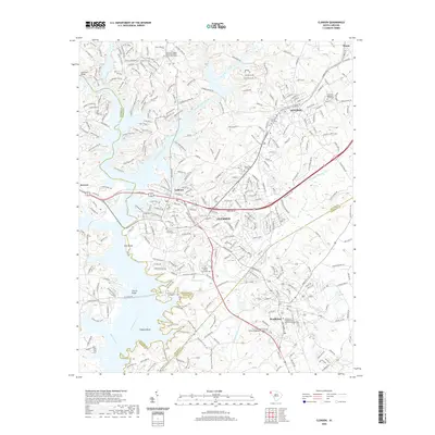 2020 Clemson2020 Print · USGSThe Upstate collegiate and river corridor at the start of the 2020s shows the dense development of Clemson and Central. Researchers can locate historic burial sites like the Old Stone Church Graveyard and trace the paths of the Green Triangle Trail or the Norfolk Southern rail line.
 - 2020 Map of Anderson South, 2020 Print
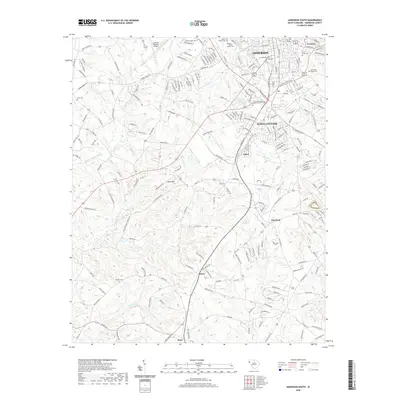 2020 Anderson South2020 Print · USGSThe southern reaches of Anderson thrive during a period of suburban and industrial growth. Researchers can trace family history through numerous burial sites like Silver Brook Cem or explore the outlying communities of Homeland Park and Toxaway.
 - 2020 Map of Saylors Crossroads, 2020 Print
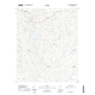 2020 Saylors Crossroads2020 Print · USGSThe outskirts of Anderson and the rural intersection at Saylors Crossroads are documented here in recent decades as suburban growth met traditional farmsteads. Researchers can trace family history through several local landmarks, including Neals Creek Baptist Church Graveyard and Hencoop Creek.
 - 2020 Map of Honea Path, 2020 Print
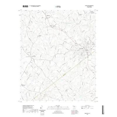 2020 Honea Path2020 Print · USGSHonea Path and its surrounding rural communities are captured in modern detail just before the turn of the decade. Researchers can locate numerous family and church burial grounds, including the Greer Family Cem, Keowee Cem, and Friendship.
 - 2020 Map of Lowndesville, 2020 Print
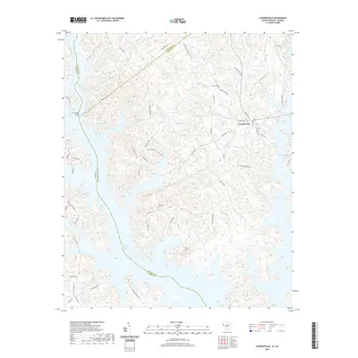 2020 Lowndesville2020 Print · USGSModern Abbeville County remains a landscape of deep-rooted settlements and extensive shorelines along the Savannah River basin. Genealogists and local historians can trace family locations near Lowndesville and locate burial grounds like Old McCalla Cem and Smyrna Cem.
 - 2020 Map of Fork Shoals, 2020 Print
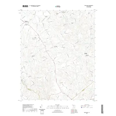 2020 Fork Shoals2020 Print · USGSGreenville County and its neighbors are captured here in the modern era, showing a landscape shaped by river bends and country crossroads. Genealogists can trace family names at the Cooley Whitt Family Cem, McKelvey Crossroads, and Old Shady Oak Cem.
 - 2020 Map of Five Forks, 2020 Print
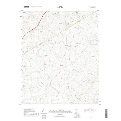 2020 Five Forks2020 Print · USGSThe Upstate border of Pickens and Anderson counties comes into focus in this recent survey of Norris and Five Forks. Researchers can trace ancestral sites at Willis Chapel Methodist Church Graveyard or follow the paths of Eighteenmile Cr and Double Br.
 - 2020 Map of Hartwell NE, 2020 Print
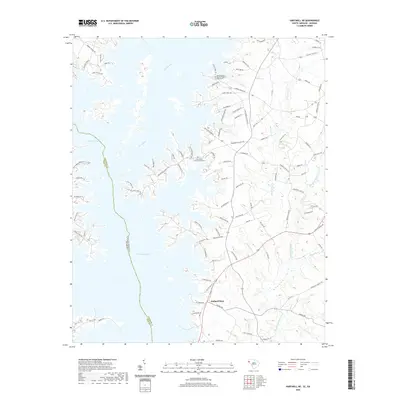 2020 Hartwell NE2020 Print · USGSThe South Carolina and Georgia borderlands are seen here as a landscape defined by the waters of Hartwell Lake and the Seneca River. Researchers can locate community centers like Holland Store and the Andersonville Baptist Church.
 - 2020 Map of Reed Creek, 2020 Print
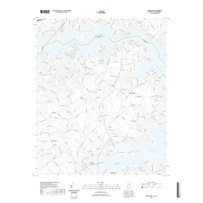 2020 Reed Creek2020 Print · USGSThe Georgia and South Carolina borderlands appear in their modern residential era, centered on the sprawling reaches of Hartwell Lake. Genealogists and local historians can locate numerous family burial sites and rural landmarks, including Cole Civil War Cem and the Sharon Presbyterian Church Cem.
 - 2020 Map of Iva, 2020 Print
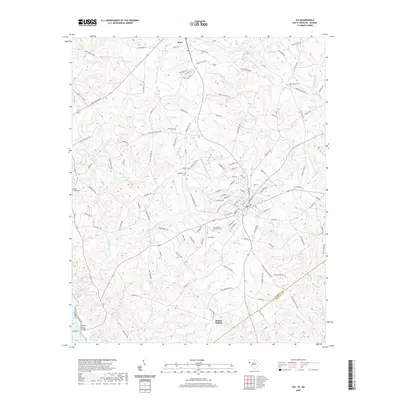 2020 Iva2020 Print · USGSThe rural Upstate landscape between Iva and Starr is captured here in 2020, showing a region defined by its creek valleys and country crossroads. Genealogists and local historians can locate many local landmarks, including Goodhope Ch, Hebron Cem, and the state line crossing at Sanders Ferry Bridge.
 - 2020 Map of Hartwell Dam, 2020 Print
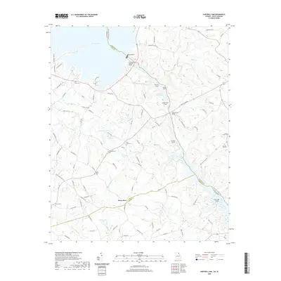 2020 Hartwell Dam2020 Print · USGSThe Savannah River borderlands between Georgia and South Carolina are transformed by mid-century reservoirs in this recent survey. Researchers can trace rural lineages through Sardis Cem and Montevideo or locate landmarks like Hartwell Dam.
 - 2020 Map of Anderson North, 2020 Print
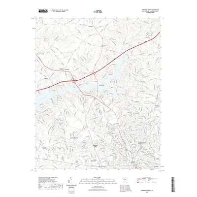 2020 Anderson North2020 Print · USGSThe city of Anderson and its northern suburbs are shown here in the 2020s, revealing a landscape where urban growth meets traditional upstate settlements. Genealogists and local historians can trace family sites at the Anderson First Presbyterian Graveyard, Mountain Spring Baptist Church, and Old Welcome Baptist Church.
 - 2020 Map of La France, 2020 Print
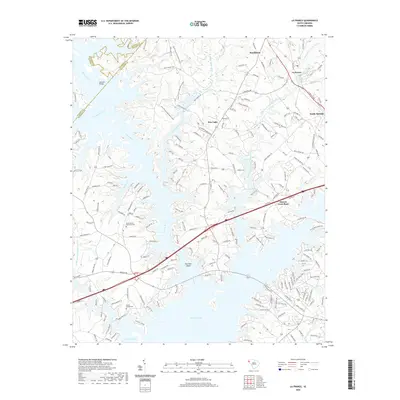 2020 La France2020 Print · USGSThis South Carolina Piedmont landscape near the Anderson and Pickens county lines shows the expansive reach of Hartwell Lake. Researchers can trace the modern shoreline relative to landmarks like the Cedar Grove Methodist Cem and the settlement of La France.
 - 2024 Map of Five Forks, 2024 Print
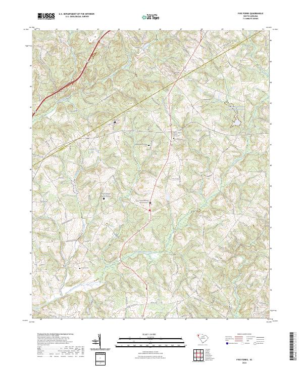 2024 Five Forks2024 Print · USGSAnderson and Pickens counties in the modern era remain defined by a deep-rooted network of family homesteads and rural congregations. Genealogists can trace local history through sites like the Fielding Martin Family Cem, Sharon Cem, and Willis Chapel Methodist Church.
Showing maps 1-25 of 48
Top cities of Anderson County
- Anderson historical maps
- Belton historical maps
- Williamston historical maps
- Honea Path historical maps
- Pendleton historical maps
- Iva historical maps
See more
Frequently asked questions
- What are the different types of historical maps available for Anderson County?
- What is the oldest map of Anderson County?
- Where can I purchase historical maps of Anderson County for my home or office?
- Where can I download high-res historical maps of Anderson County?
- Are there historical topographic maps available for Anderson County?
- Is there historical aerial imagery available for Anderson County?
- Where are historical maps of Anderson County sourced from?