2020s Maps of Elko, South Carolina
Explore 8 historic maps of Elko from the 2020s. These maps offer a rare glimpse into what life looked like during the 2020s — showing old roads, neighborhoods, homes, and landmarks that have changed or disappeared over time.
Whether you're researching your family's past, planning a metal detecting trip, or studying how Elko's landscape evolved across the 2020s, these high-resolution maps are a powerful tool for exploring the history of this region.
- Focus on a specific era: All maps on this page are from the 2020s, giving you a focused view of this time period.
- See what’s changed: Compare century-old streets, trails, and buildings to today's modern landscape using overlays and satellite layers.
- Research with precision: Use these maps for genealogy, historical research, land use analysis, or educational projects.
- View, download, or print: Maps are fully viewable online in high resolution, and can be downloaded or printed for your own records.
Start exploring Elko's history through authentic maps from the 2020s. This is your window into the past.
Elko, SC maps
(8)- 2020 Map of Long Branch, 2020 Print
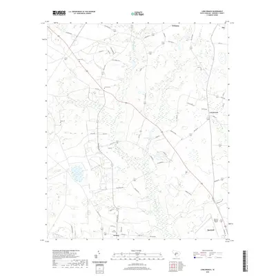 2020 Long Branch2020 Print · USGSCovers Elko, including Barnwell, Williston, and other nearby areas
 - 2020 Map of Williston, 2020 Print
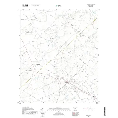 2020 Williston2020 Print · USGSCovers Elko, including Williston, White Pond, and other nearby areas
 - 2020 Map of Springfield, 2020 Print
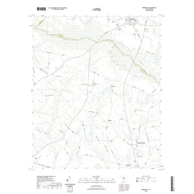 2020 Springfield2020 Print · USGSCovers Elko, including Blackville, Springfield, and other nearby areas
 - 2020 Map of Blackville, 2020 Print
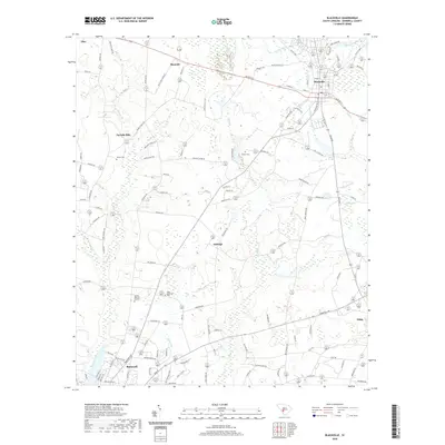 2020 Blackville2020 Print · USGSCovers Elko, including Barnwell, Blackville, and other nearby areas
 - 2024 Map of Springfield, 2024 Print
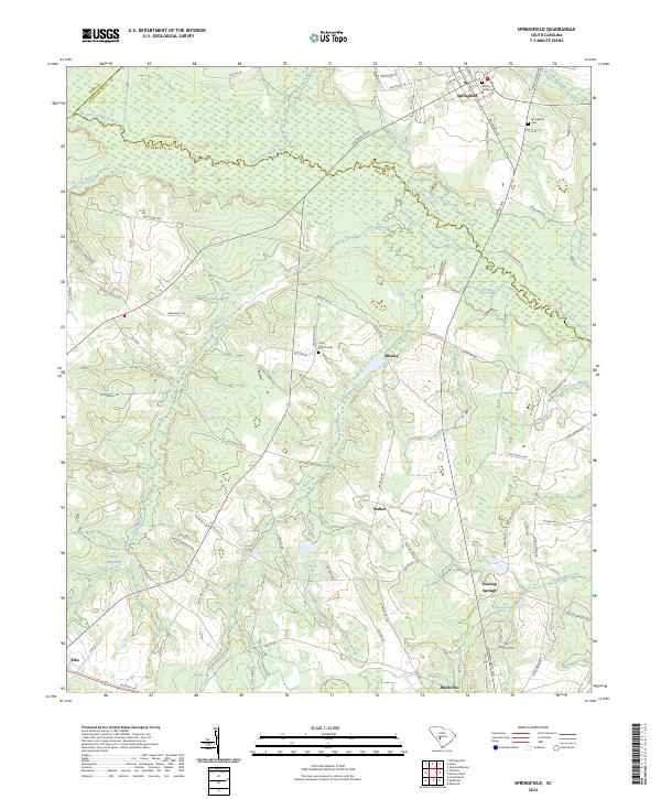 2024 Springfield2024 Print · USGSThe rural borderlands of Aiken and Barnwell counties come alive in this recent survey of the South Carolina lowcountry. Researchers can trace ancestral connections and local water-powered industry through landmarks like Brodie Family Cem, Healing Springs, and Willis Millpond.
 - 2024 Map of Blackville, 2024 Print
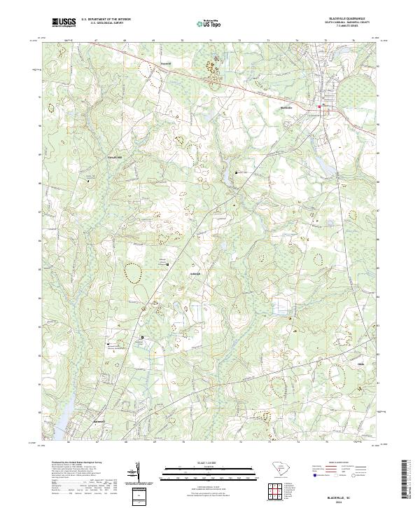 2024 Blackville2024 Print · USGSBarnwell County is shown in detail during the early twenty-first century as the area around Blackville continues its rural traditions. Genealogists can locate several local burial grounds including the Ashleigh Church Graveyard, Jowers Cem, and the Jowers - Birt - Carroll Cem.
 - 2024 Map of Long Branch, 2024 Print
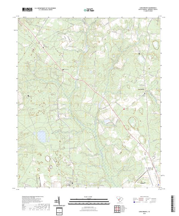 2024 Long Branch2024 Print · USGSThe lowlands of Barnwell County come into focus in this contemporary survey, showing the relationship between the Salkehatchie River and the rural South Carolina landscape. Genealogists can trace local roots through numerous sites like Hair Cem, Woods Cem, and the Seven Pines Church Graveyard.
 - 2024 Map of Williston, 2024 Print
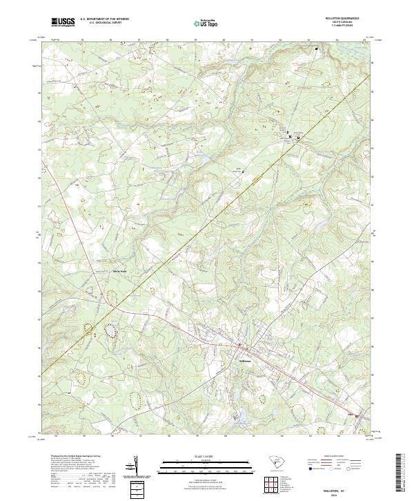 2024 Williston2024 Print · USGSBarnwell County in the early twenty-first century is defined by its small-town rail corridors and rural family estates. Genealogists can trace property lines and legacy sites like Webb Family Cem, Webb Millpond, and Edisto Baptist Church.
End of results
Showing maps 1-8 of 8
Top cities near Elko
- Barnwell historical maps
- Williston historical maps
- Denmark historical maps
- Blackville historical maps
- Springfield historical maps
- Hilda historical maps
See more
Frequently asked questions
- What are the different types of historical maps available for Elko?
- What is the oldest map of Elko?
- Where can I purchase historical maps of Elko for my home or office?
- Where can I download high-res historical maps of Elko?
- Are there historical topographic maps available for Elko?
- Is there historical aerial imagery available for Elko?
- Where are historical maps of Elko sourced from?