Loading...
Loading map...2024 Map of Springfield
USGS Topo · Published 2024About this map
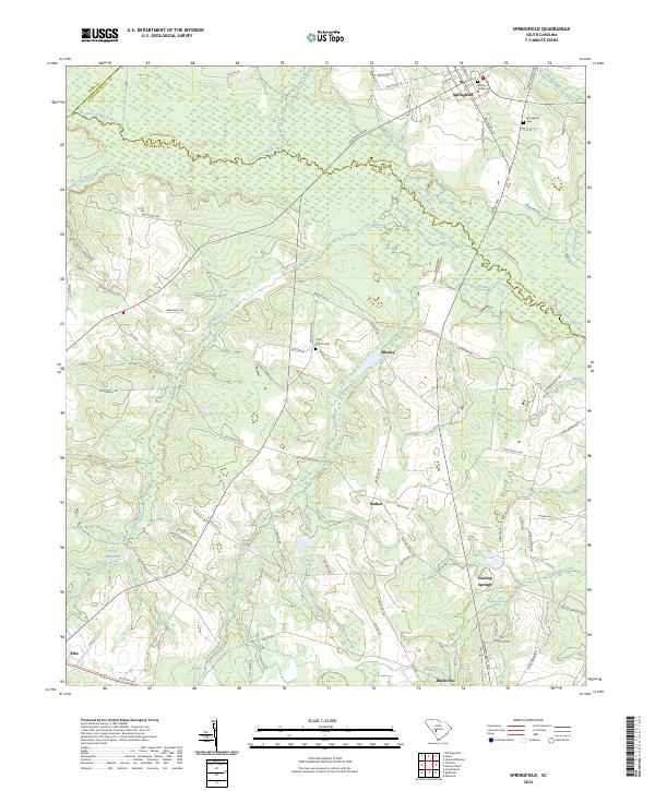
The South Fork Edisto River meanders across the northern portion of this South Carolina landscape, forming a natural boundary between Aiken, Orangeburg, and Barnwell counties. This modern topographic record details a rural corridor defined by small settlements and family-named landmarks. The town of Springfield sits at a crossroads in the northeast, while the communities of Blackville and Elko anchor the southern edge near a prominent rail line along Railroad Ave.
Find a feature on this map
79 named features on this map. Tap any name to fly to it.
Don’t see what you’re looking for? This feature index may not catch every label — zoom into the map to look around manually.
Map Details
Date Portrayed2024
Date Published2024
PublisherU.S. Geological Survey
Map TypeTopographic
Scale1:24000
Physical Dimensions24 x 29 inches
Editions of this 2024 Springfield Map
This is the sole edition of this map. No revisions or reprints were ever made.
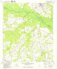
Historical Maps of Elko Through Time
Featured Locations
Source Details
SourceU.S. Geological Survey
CopyrightPublic Domain