Old Maps of Cane Bay Plantation, South Carolina
Explore 34 old maps of Cane Bay Plantation, spanning from 1919 to today. These high-resolution historic maps reveal how streets, neighborhoods, landmarks, and natural features evolved over time — perfect for genealogy, metal detecting, research, and local history exploration.
What you can do with these maps:
- See how Cane Bay Plantation changed over time: Compare historical maps to modern-day views to trace roads, homesites, rail lines & more.
- View detailed metadata: Each map includes creators, publishers, year, scale, and archive source.
- Overlay maps with satellite & LiDAR: Visualize the past alongside modern tools to explore terrain & human change.
- Trusted historical sources: Maps sourced from the USGS, Library of Congress, and other archives.
- Access maps your way: View online, download high-res files, or order prints for personal or research use.
Start exploring old maps of Cane Bay Plantation to uncover forgotten places, hidden landmarks, and the deep history beneath your feet.
Cane Bay Plantation, SC maps
(34)- 1919 Map of Summerville
 1919 Summerville1919 Print · USGSSummerville and the surrounding Lowcountry wetlands are captured here just after the Great War, during a period of established rail reliance and rural growth. Genealogists and researchers can trace local landmarks like St Johns Church, the Clemson Coast Express Station, and numerous early school sites including Barrow School.
 - 1920 Map of Summerville
 1920 Summerville1920 Print · USGSThe South Carolina Lowcountry at the close of the Great War reveals a landscape of deep cypress basins and burgeoning rail-side towns. Genealogists can locate numerous rural landmarks like Appii Church, Whitesville School, and the Clemson Coast Experiment Station.3 unique versions available
 - 1944 Map of Summerville
 1944 Summerville1944 Print · USGSThe South Carolina lowcountry near the end of World War II is documented here, showing the rural landscapes of Dorchester and Berkeley counties. Genealogists can trace family roots through numerous local landmarks like Black Tom Sch, St Johns Ch, and Lincolnville.
 - 1954 Map of Augusta
 1954 Augusta1954 Print · USGSThe Savannah River valley and South Carolina Midlands are captured here during a period of post-war growth. Researchers can trace the rail-and-river economy through the Southern RR corridor and locate historic settlements like Aiken, Orangeburg, and Sumter.
 - 1957 Map of Mount Holly, 1959 Print
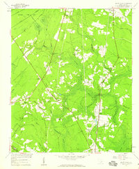 1957 Mount Holly1959 Print · USGSBerkeley County was characterized by dense swamplands and rural railroad hamlets in the mid-1950s. Genealogists can trace family roots through numerous local landmarks, including Varner Sch, Driggerstown, and the Groomsville Cem.4 unique versions available
 - 1957 Map of Augusta, 1966 Print
 1957 Augusta1966 Print · USGSThe Savannah River and Santee basins are captured here during a period of massive military and industrial expansion in the late fifties. Genealogists can trace family footprints across Four Hole Swamp or near the Savannah River Plant.3 unique versions available
 - 1958 Map of Augusta
 1958 Augusta1958 Print · USGSThe borderlands between Georgia and South Carolina come alive in the 1950s, showing the early footprint of the Savannah River Plant. Genealogists and historians can trace rail-dependent towns and rural landmarks from Orangeburg to the Fort Jackson Military Reservation.
 - 1958 Map of Summerville NW, 1959 Print
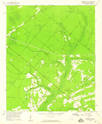 1958 Summerville NW1959 Print · USGSBerkeley County was characterized by deep wetlands and isolated rural communities in the late fifties. Genealogists and researchers can trace local family centers at Lebanon Ch, Wassamassaw Ch, and the Millpond near Coton Bay.3 unique versions available
 - 1958 Map of Summerville, 1959 Print
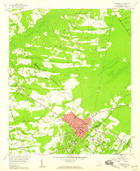 1958 Summerville1959 Print · USGSSummerville and its surrounding Lowcountry reaches appear here in the late fifties as a network of rail-side settlements and vast wetlands. Trace local history through landmarks like Jedburg, the Alston Schools, and the winding Cypress Swamp.4 unique versions available
 - 1958 Map of Moncks Corner, 1959 Print
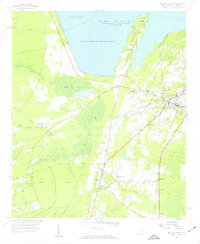 1958 Moncks Corner1959 Print · USGSBerkeley County life in the late fifties centered on the growing hub of Moncks Corner and the vast waters of Lake Moultrie. Researchers can trace rural family roots through landmarks like the Whitesville Sch, The Oak Chapel, and the Atlantic Coast Line railroad.3 unique versions available
 - 1961 Map of Augusta
 1961 Augusta1961 Print · USGSThe South Carolina lowcountry and CSRA appear here in the early sixties, during a period of massive military and industrial growth. Researchers can trace the development of the Savannah River Plant or locate legacy landmarks like Nelson Ferry and Magnolia Cemetery.2 unique versions available
 - 1962 Map of Augusta
 1962 Augusta1962 Print · USGSThe South Carolina and Georgia borderlands are seen here in the early sixties, showing the rise of the Savannah River Plant and the expansion of Fort Jackson. Researchers can trace old rail lines like the Southern Railway and find landmarks such as St. Pauls Church or the Santee Canal.
 - 1985 Map of Saint George, 1986 Print
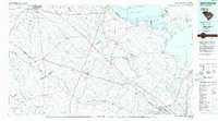 1985 Saint George1986 Print · USGSThe South Carolina Lowcountry in the mid-eighties shows a landscape defined by the great reservoirs and the meandering Edisto River. Researchers can trace the rail corridors of the Southern Railway and find rural settlements like Harleyville, Smoaks, and Grover.
 - 1990 Map of Saint George
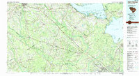 1990 Saint George1990 Print · USGSThe South Carolina Lowcountry in the early nineties reveals a complex network of river systems and massive reservoirs. Genealogists and local historians can trace the development of inland settlements like St George and Branchville or explore the wetlands of Four Hole Swamp.
 - 2011 Map of Summerville, 2011 Print
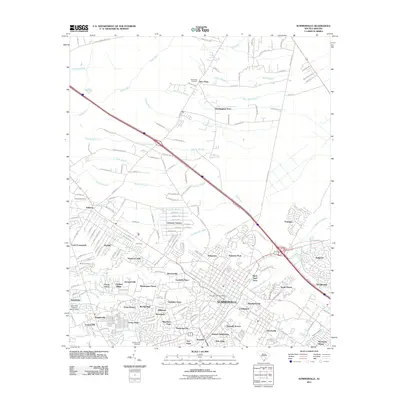 2011 Summerville2011 Print · USGSSummerville and its surrounding South Carolina lowcountry are shown here in a period of significant suburban growth. Researchers can locate family landmarks and burial sites including Murray Cemetery, Waring Hall, and the Summerville Post Office.
 - 2011 Map of Summerville NW, 2011 Print
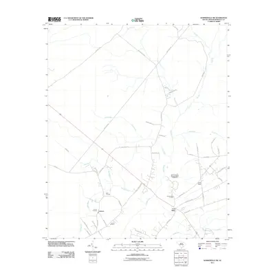 2011 Summerville NW2011 Print · USGSThe headwaters of the Ashley River and the settlements of Lebanon and Long Ridge are mapped here in the early twenty-first century. Genealogists and local historians can locate several family burial sites, including Wassamassaw Cemetery, Rudd Cemetery, and Blanton Cemetery.
 - 2011 Map of Mount Holly, 2011 Print
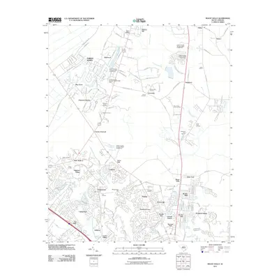 2011 Mount Holly2011 Print · USGSBerkeley County settlement patterns are on full display here in the early twenty-first century, showing the growth of the Goose Creek area. Researchers can trace family history through sites like Groomsville Cemetery or explore old local nodes like Carnes Crossroad and Wide Awake.
 - 2011 Map of Moncks Corner, 2011 Print
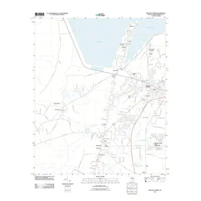 2011 Moncks Corner2011 Print · USGSBerkeley County, South Carolina, is shown here in the early twenty-first century as modern developments meet the shoreline of the great reservoir. Researchers can locate family landmarks like Appii Cemetery, Saint Johns Cemetery, and the community of Pinopolis.
 - 2014 Map of Summerville NW, 2014 Print
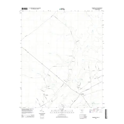 2014 Summerville NW2014 Print · USGSBerkeley County settlement and Lowcountry wetlands are documented here in the early twenty-first century. Genealogists can locate family burial grounds including Wassamassaw Cem and trace the headwaters of the Ashley River near Lebanon.
 - 2014 Map of Mount Holly, 2014 Print
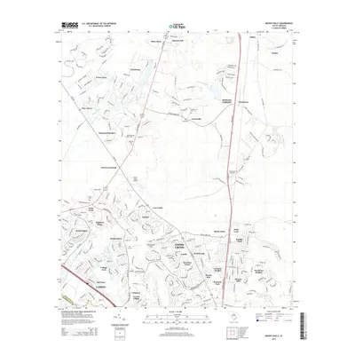 2014 Mount Holly2014 Print · USGSThe Berkeley County suburbs north of Charleston are shown here at a moment of significant residential growth and established local history. Researchers can locate numerous family and community burial sites like Groomsville Cem and Smyrna Cem near the historic Strawberry area.
 - 2014 Map of Summerville, 2014 Print
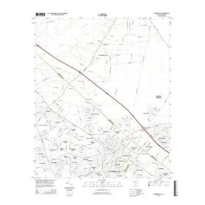 2014 Summerville2014 Print · USGSSummerville and its surrounding Lowcountry communities are shown during a period of significant residential growth in the mid-2010s. Genealogists and local historians can trace family locations near Waring Hall, Jedburg Cem, or the historic Tea Farm.
 - 2014 Map of Moncks Corner, 2014 Print
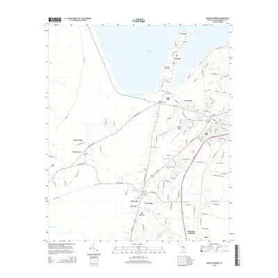 2014 Moncks Corner2014 Print · USGSBerkeley County is captured here in the early twenty-first century as the landscape transitions from the shores of Lake Moultrie to the hub of Moncks Corner. Researchers can trace local lineage through numerous sites like Trinity Cem, Ebenezer Cem, and the historic settlement at Pinopolis.
 - 2017 Map of Summerville, 2017 Print
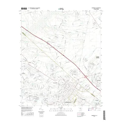 2017 Summerville2017 Print · USGSSummerville and its neighboring hamlets are captured here just before the turn of the decade, showing the rapid growth across the Dorchester and Berkeley county lines. Genealogists and local historians can locate New Hope Cemetery, trace the old roads at Lotts Crossroads, and explore the banks of the Ashley River.
 - 2017 Map of Moncks Corner, 2017 Print
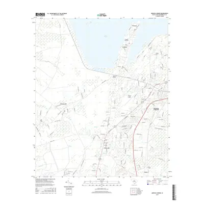 2017 Moncks Corner2017 Print · USGSBerkeley County in the late twenty-teens shows a landscape where the waters of Lake Moultrie meet expanding settlements. Researchers can trace family history at Saint Johns Cem or Ebenezer Cem and locate landmarks like the Berkeley County Airport.
 - 2017 Map of Summerville NW, 2017 Print
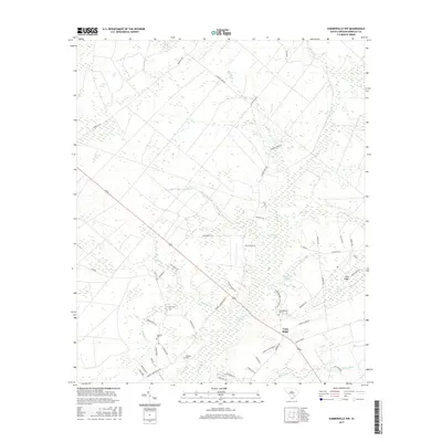 2017 Summerville NW2017 Print · USGSBerkeley County's rural interior comes into focus during the late 2010s, revealing a landscape of Carolina Bays and swampy headwaters. Genealogists can trace ancestral sites at Lebanon Cem, Wassamassaw Cem, and the settlement of Long Ridge.
Showing maps 1-25 of 34
Frequently asked questions
- What are the different types of historical maps available for Cane Bay Plantation?
- What is the oldest map of Cane Bay Plantation?
- Where can I purchase historical maps of Cane Bay Plantation for my home or office?
- Where can I download high-res historical maps of Cane Bay Plantation?
- Are there historical topographic maps available for Cane Bay Plantation?
- Is there historical aerial imagery available for Cane Bay Plantation?
- Where are historical maps of Cane Bay Plantation sourced from?