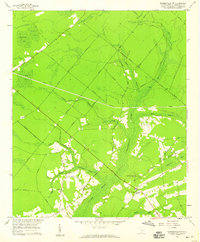
1958 Map of Summerville NW
USGS Topo · Published 1959About this map
The low-lying wetlands of Wassamassaw Swamp and Cypress Swamp define this 1958 survey of Berkeley County, South Carolina. The landscape is a network of ecological "bays" and slow-moving runs, including Coton Bay, Mosquito Bay, and Long Ridge Bay. These geological depressions and dense swamp forests dictate the settlement patterns, with development concentrated along the higher ground of the ridges. Rural life is anchored by a series of small community hubs, most notably Lebanon Ch, Wassamassaw Ch, and St James Ch. Evidence of earlier land use is visible at the Millpond on the edge of Coton Bay, while the interior is marked by a network of private roads and drainage features like Big Run and Black Creek that feed into the larger river systems of the Coastal Plain.
Find a feature on this map
23 named features on this map. Tap any name to fly to it.
Don’t see what you’re looking for? This feature index may not catch every label — zoom into the map to look around manually.
Map Details
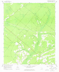
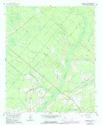
Editions of this 1958 Summerville NW Map
3 editions found
Other maps of this area

1919 · Summerville
USGS Topo · 1:48,000

1919 · Ridgeville
USGS Topo · 1:48,000

1920 · Eutawville
USGS Topo · 1:48,000

1920 · Chicora
USGS Topo · 1:48,000

1920 · Ridgeville
USGS Topo · 1:62,500

1920 · Summerville
USGS Topo · 1:62,500

1921 · Chicora
USGS Topo · 1:62,500

1921 · Eutawville
USGS Topo · 1:62,500

1943 · Chicora
USGS Topo · 1:62,500

1943 · Ridgeville
USGS Topo · 1:62,500