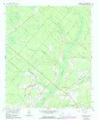
1958 Map of Summerville NW
USGS Topo · Published 1990About this map
Wassamassaw Swamp and Cypress Swamp dominate this Berkeley County landscape, illustrating a drainage pattern defined by low-lying bays and slow-moving runs. The rural community of Lebanon serves as a primary point of reference, centered around its local institutions like Lebanon Ch and the nearby Rudd Cem. The terrain is marked by numerous distinctive "bays"—shallow elliptical depressions typical of the region—including Ditch Bay, Mosquito Bay, and Caton Bay.
Find a feature on this map
29 named features on this map. Tap any name to fly to it.
Don’t see what you’re looking for? This feature index may not catch every label — zoom into the map to look around manually.
Map Details
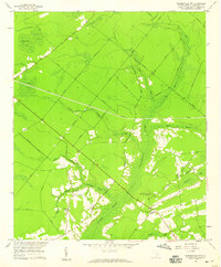
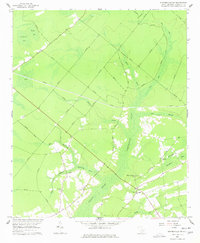
Editions of this 1958 Summerville NW Map
3 editions found
Other maps of this area

1919 · Summerville
USGS Topo · 1:48,000

1919 · Ridgeville
USGS Topo · 1:48,000

1920 · Eutawville
USGS Topo · 1:48,000

1920 · Chicora
USGS Topo · 1:48,000

1920 · Ridgeville
USGS Topo · 1:62,500

1920 · Summerville
USGS Topo · 1:62,500

1921 · Chicora
USGS Topo · 1:62,500

1921 · Eutawville
USGS Topo · 1:62,500

1943 · Chicora
USGS Topo · 1:62,500

1943 · Ridgeville
USGS Topo · 1:62,500