2020s Maps of Cherokee County, South Carolina
Explore 30 historic maps of Cherokee County from the 2020s. These maps offer a rare glimpse into what life looked like during the 2020s — showing old roads, neighborhoods, homes, and landmarks that have changed or disappeared over time.
Whether you're researching your family's past, planning a metal detecting trip, or studying how Cherokee County's landscape evolved across the 2020s, these high-resolution maps are a powerful tool for exploring the history of this region.
- Focus on a specific era: All maps on this page are from the 2020s, giving you a focused view of this time period.
- See what’s changed: Compare century-old streets, trails, and buildings to today's modern landscape using overlays and satellite layers.
- Research with precision: Use these maps for genealogy, historical research, land use analysis, or educational projects.
- View, download, or print: Maps are fully viewable online in high resolution, and can be downloaded or printed for your own records.
Start exploring Cherokee County's history through authentic maps from the 2020s. This is your window into the past.
Cherokee County, SC maps
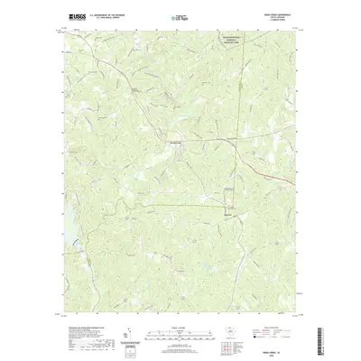
(30)- 2020 Map of Cowpens, 2020 Print
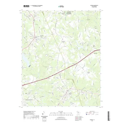 2020 Cowpens2020 Print · USGSCovers Cherokee County, including Cowpens, Love Springs, and other nearby areas
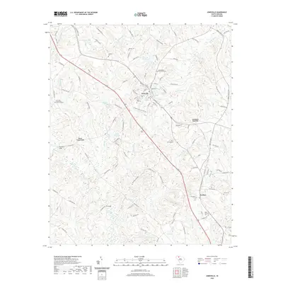
 - 2020 Map of Gaffney, 2020 Print
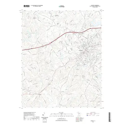 2020 Gaffney2020 Print · USGSCovers Cherokee County, including Gaffney, Wellington Manor, and other nearby areas
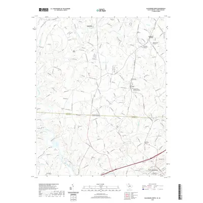
 - 2020 Map of Blacksburg South, 2020 Print
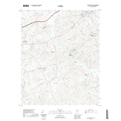 2020 Blacksburg South2020 Print · USGSCovers Cherokee County, including Gaffney, Blacksburg, and other nearby areas
 - 2020 Map of Chesnee, 2020 Print
 2020 Chesnee2020 Print · USGSCovers Cherokee County, including Chesnee, State Line, and other nearby areas
 - 2020 Map of Kings Creek, 2020 Print
 2020 Kings Creek2020 Print · USGSCovers Cherokee County, including Smyrna, Piedmont Springs, and other nearby areas
 - 2020 Map of Blacksburg North, 2020 Print
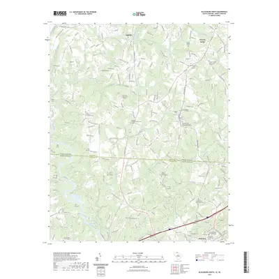
 2020 Blacksburg North2020 Print · USGSCovers Cherokee County, including Shelby, Blacksburg, and other nearby areas
 - 2020 Map of Jonesville, 2020 Print
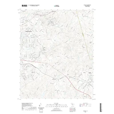
 2020 Jonesville2020 Print · USGSCovers Cherokee County, including Jonesville, Bonham, and other nearby areas
 - 2020 Map of Pacolet, 2020 Print
 2020 Pacolet2020 Print · USGSCovers Cherokee County, including Spartanburg, Pacolet, and other nearby areas
 - 2020 Map of Lockhart, 2020 Print
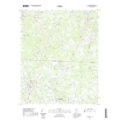
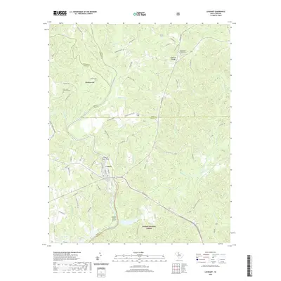 2020 Lockhart2020 Print · USGSCovers Cherokee County, including Lockhart, Pinckney, and other nearby areas
 - 2020 Map of Pacolet Mills, 2020 Print
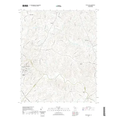 2020 Pacolet Mills2020 Print · USGSCovers Cherokee County, including Pacolet, Central Pacolet, and other nearby areas
 - 2020 Map of Kelton, 2020 Print
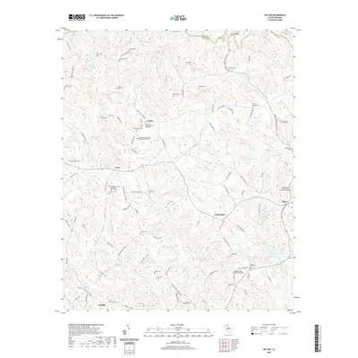 2020 Kelton2020 Print · USGSCovers Cherokee County, including Union, Robat, and other nearby areas
 - 2020 Map of Wilkinsville, 2020 Print
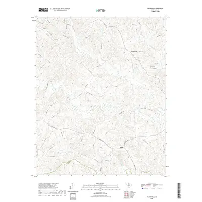 2020 Wilkinsville2020 Print · USGSCovers Cherokee County, including Wilkinsville, Saratt, and other nearby areas
 - 2020 Map of Hickory Grove, 2020 Print
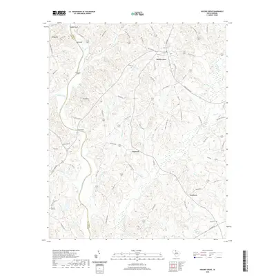 2020 Hickory Grove2020 Print · USGSCovers Cherokee County, including Hickory Grove, Hoodtown, and other nearby areas
 - 2022 Map of Grover, 2022 Print
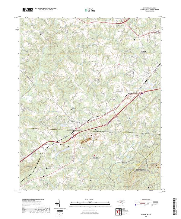 2022 Grover2022 Print · USGSThe borderlands of North and South Carolina are captured here in the early 2020s, centered on the historic town of Grover. Researchers can find an incredible density of burial sites including Clingman Memorial Gardens and the Kings Mountain Battlefield Cem.
 - 2022 Map of Kings Mountain, 2022 Print
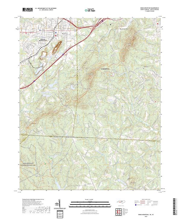 2022 Kings Mountain2022 Print · USGSThe borderlands of Cleveland and York counties come alive in this survey of the peaks and valleys surrounding the Revolutionary War site. Researchers can trace family sites near Mountain Rest Cem, the waters of Lake Montonia, and the heights of The Pinnacle.
 - 2022 Map of Boiling Springs South, 2022 Print
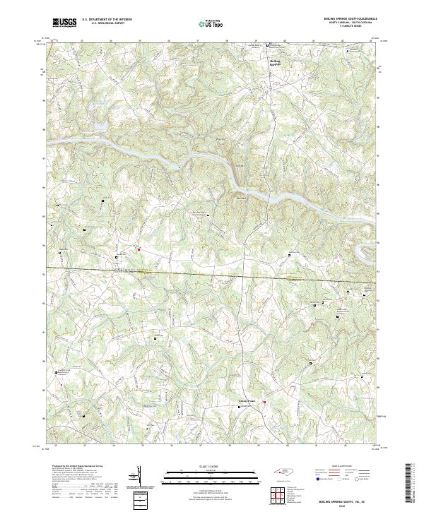 2022 Boiling Springs South2022 Print · USGSThe Carolina borderlands north of Gaffney appear in this recent survey, where the Broad River divides the landscape between the Blue Ridge and the Piedmont. Researchers can trace decades of family history through numerous burial sites like Furnace Place Cem, Robbs Cem, and the Camps Creek Baptist Church Graveyard.
 - 2023 Map of Blacksburg North, 2023 Print
 2023 Blacksburg North2023 Print · USGSCovers Cherokee County, including Shelby, Blacksburg, and other nearby areas
 - 2024 Map of Lockhart, 2024 Print
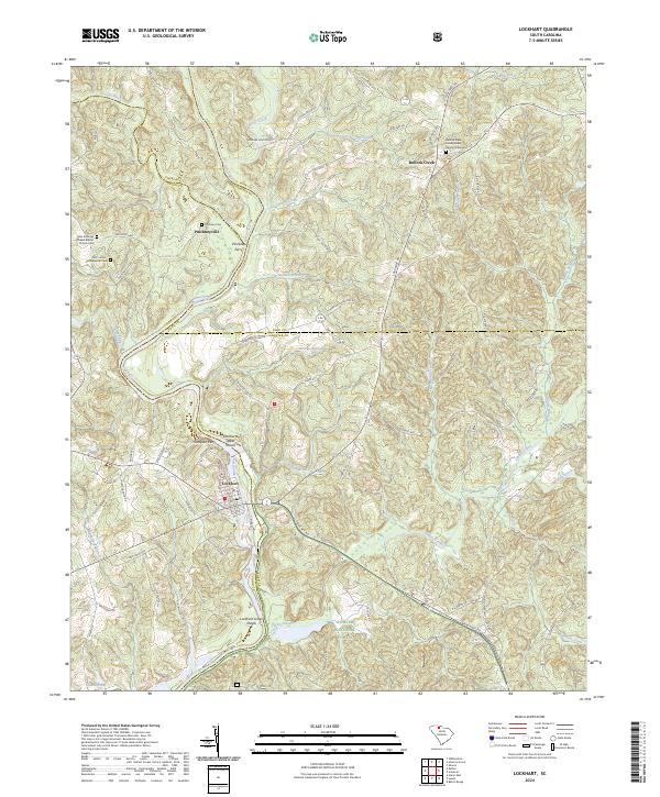 2024 Lockhart2024 Print · USGSThe Broad River valley at the Union and York county line comes into focus in this recent survey of the Carolina Piedmont. Genealogists can trace family names and local landmarks at the Bullock Creek Presbyterian Church Graveyard, Pinckney Ferry, and the shoals near Lockhart.
 - 2024 Map of Pacolet Mills, 2024 Print
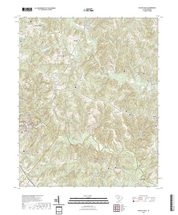 2024 Pacolet Mills2024 Print · USGSCherokee County at the junction of Spartanburg and Union counties shows a landscape defined by the Pacolet River and deep family roots. Researchers can trace ancestral sites at Whig Hill Cemetery, Grindall Shoals, and Pacolet Mills.
 - 2024 Map of Blacksburg South, 2024 Print
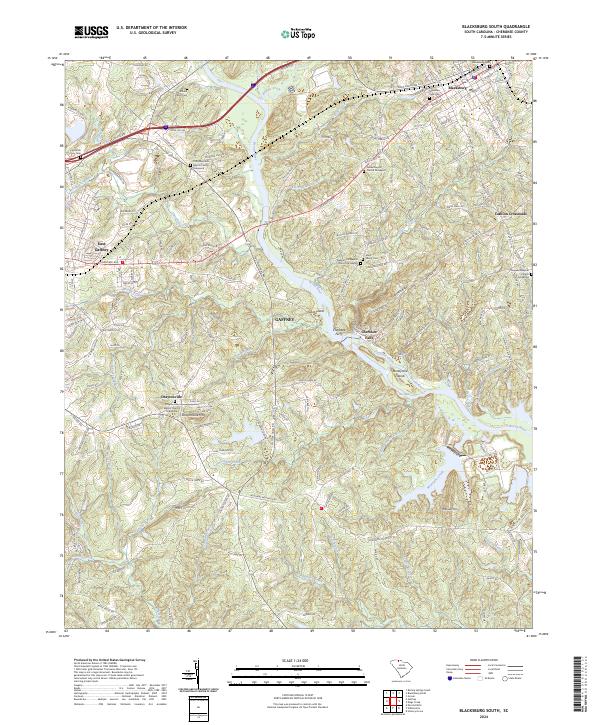 2024 Blacksburg South2024 Print · USGSCherokee County in the modern era continues to be shaped by its deep-seated river routes and hill-country settlements. Researchers can locate family landmarks like the Moss Family Cem or trace old river crossings near Cherokee Ferry and Cherokee Falls.
 - 2024 Map of Gaffney, 2024 Print
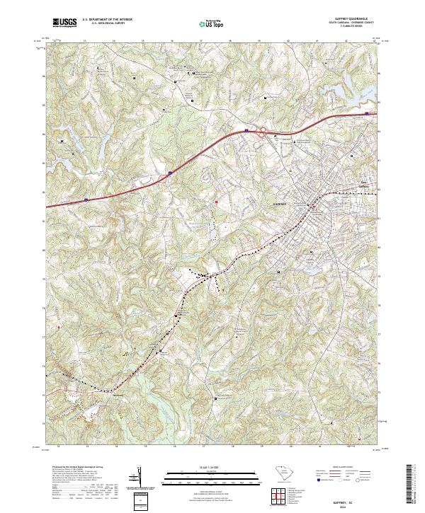 2024 Gaffney2024 Print · USGSGaffney and the surrounding Cherokee County Piedmont are shown in fine detail during the mid-2020s. Researchers can trace local lineage through numerous family and church burial sites, including the Michael Gaffney Family Cem and Littlejohn Family Cem.
 - 2024 Map of Hickory Grove, 2024 Print
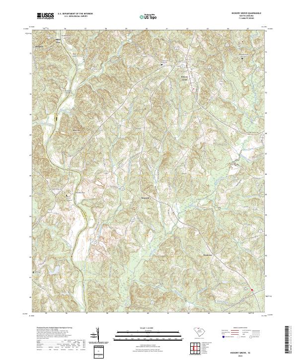 2024 Hickory Grove2024 Print · USGSThe South Carolina Piedmont and the Broad River corridor are shown in great detail during the early twenty-first century. Genealogists and local historians can trace family-named landmarks and rural congregations like Unity Church, Salem Church, and Hoodtown.
 - 2024 Map of Blacksburg North, 2024 Print
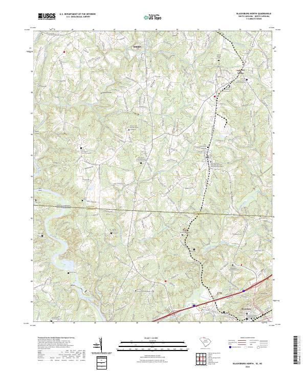 2024 Blacksburg North2024 Print · USGSThe borderlands of the Carolinas come alive in this detailed record of the rural landscape between Shelby and Blacksburg. Local historians can trace family roots through numerous sites like Shoal Creek Baptist Church and historic river crossings at Buck Ford or Ellis Ferry.
 - 2024 Map of Cowpens, 2024 Print
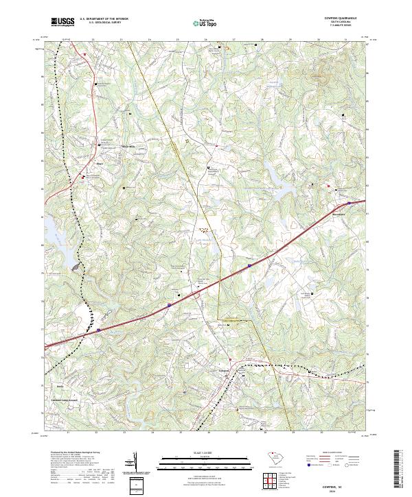 2024 Cowpens2024 Print · USGSThe Upstate South Carolina countryside is captured here in the contemporary era, centered on the intersection of the Pacolet River and the CSX Transportation rail line. Researchers can trace family history through numerous specific sites like Mayo Mills, Cannons Camp Ground, and the Piedmont Baptist Church Cem.
 - 2024 Map of Chesnee, 2024 Print
 2024 Chesnee2024 Print · USGSThe Carolina state line meets the historic ground of Cowpens National Battlefield in this contemporary topographic survey. Local historians can trace family roots through numerous sites like Martin Family Cem, Cliffside Cem, and the Mid-Atlantic Railroad corridor.
Showing maps 1-25 of 30
Top cities of Cherokee County
Frequently asked questions
- What are the different types of historical maps available for Cherokee County?
- What is the oldest map of Cherokee County?
- Where can I purchase historical maps of Cherokee County for my home or office?
- Where can I download high-res historical maps of Cherokee County?
- Are there historical topographic maps available for Cherokee County?
- Is there historical aerial imagery available for Cherokee County?
- Where are historical maps of Cherokee County sourced from?