2000s (21st Century) Maps of Cherokee County, South Carolina
Explore 81 historic maps of Cherokee County from the 2000s (21st Century). These maps offer a rare glimpse into what life looked like during the 2000s — showing old roads, neighborhoods, homes, and landmarks that have changed or disappeared over time.
Whether you're researching your family's past, planning a metal detecting trip, or studying how Cherokee County's landscape evolved across the 2000s, these high-resolution maps are a powerful tool for exploring the history of this region.
- Focus on a specific era: All maps on this page are from the 2000s, giving you a focused view of this time period.
- See what’s changed: Compare century-old streets, trails, and buildings to today's modern landscape using overlays and satellite layers.
- Research with precision: Use these maps for genealogy, historical research, land use analysis, or educational projects.
- View, download, or print: Maps are fully viewable online in high resolution, and can be downloaded or printed for your own records.
Start exploring Cherokee County's history through authentic maps from the 2000s. This is your window into the past.
Cherokee County, SC maps
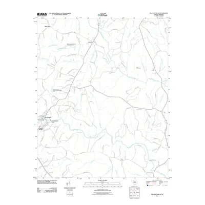
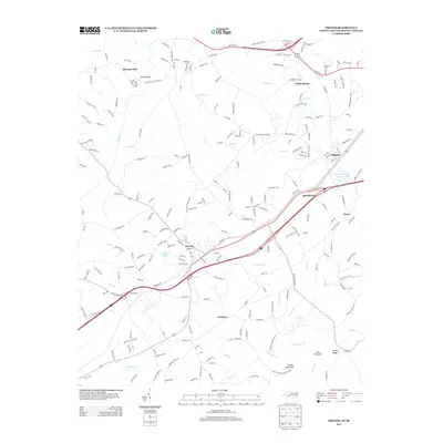
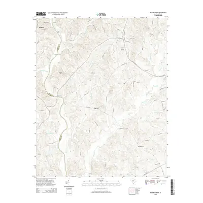
(81)- 2011 Map of Hickory Grove, 2011 Print
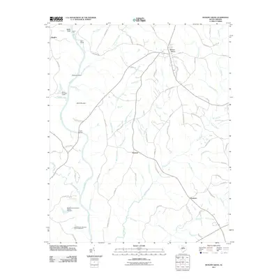 2011 Hickory Grove2011 Print · USGSCovers Cherokee County, including Hickory Grove, Hoodtown, and other nearby areas
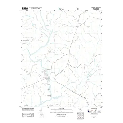
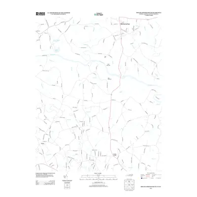
 - 2011 Map of Jonesville, 2011 Print
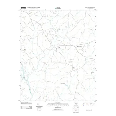
 2011 Jonesville2011 Print · USGSCovers Cherokee County, including Jonesville, Bonham, and other nearby areas
 - 2011 Map of Kelton, 2011 Print
 2011 Kelton2011 Print · USGSCovers Cherokee County, including Union, Robat, and other nearby areas
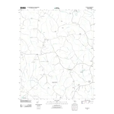
 - 2011 Map of Lockhart, 2011 Print
 2011 Lockhart2011 Print · USGSCovers Cherokee County, including Lockhart, Pinckney, and other nearby areas
 - 2011 Map of Pacolet Mills, 2011 Print
 2011 Pacolet Mills2011 Print · USGSCovers Cherokee County, including Pacolet, Central Pacolet, and other nearby areas
 - 2011 Map of Pacolet, 2011 Print
 2011 Pacolet2011 Print · USGSCovers Cherokee County, including Spartanburg, Pacolet, and other nearby areas
 - 2011 Map of Wilkinsville, 2011 Print
 2011 Wilkinsville2011 Print · USGSCovers Cherokee County, including Wilkinsville, Saratt, and other nearby areas
 - 2011 Map of Kings Creek, 2011 Print
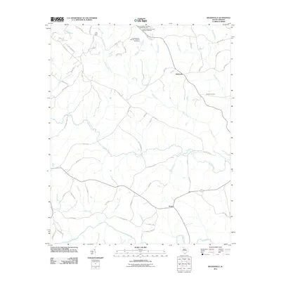
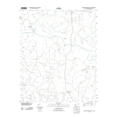
 2011 Kings Creek2011 Print · USGSCovers Cherokee County, including Smyrna, Piedmont Springs, and other nearby areas
 - 2011 Map of Blacksburg North, 2011 Print
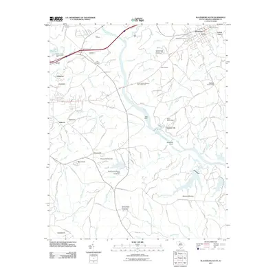
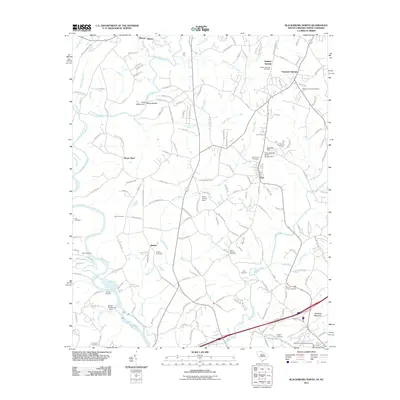 2011 Blacksburg North2011 Print · USGSCovers Cherokee County, including Shelby, Blacksburg, and other nearby areas
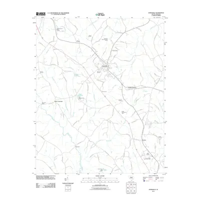
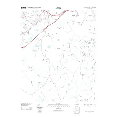
 - 2011 Map of Gaffney, 2011 Print
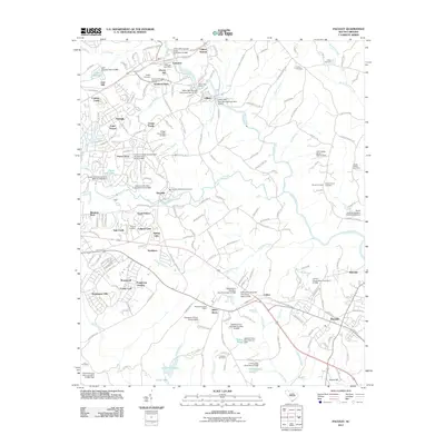
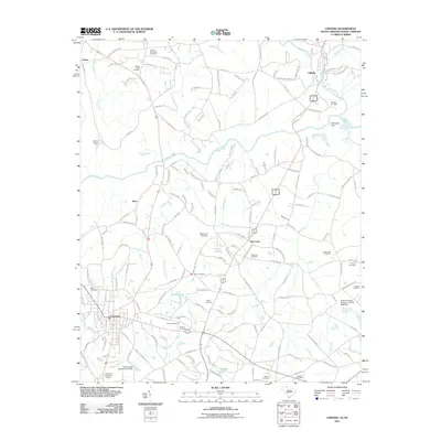
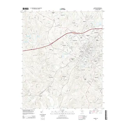
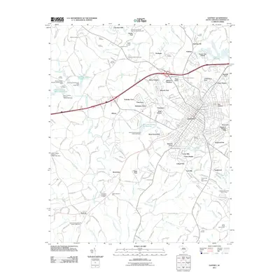 2011 Gaffney2011 Print · USGSCovers Cherokee County, including Gaffney, Wellington Manor, and other nearby areas
 - 2011 Map of Grover, 2011 Print
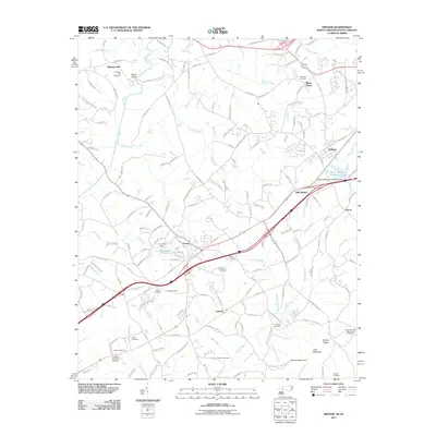 2011 Grover2011 Print · USGSCovers Cherokee County, including Kings Mountain, Grover, and other nearby areas
 - 2011 Map of Boiling Springs South, 2011 Print
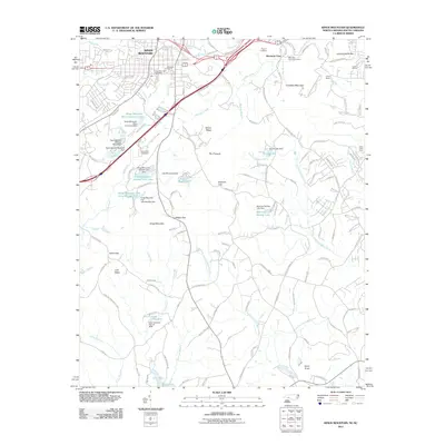
 2011 Boiling Springs South2011 Print · USGSCovers Cherokee County, including Boiling Springs, Maud, and other nearby areas
 - 2011 Map of Cowpens, 2011 Print
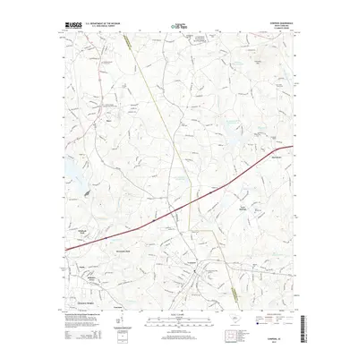
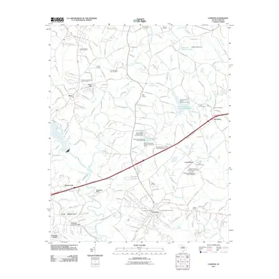 2011 Cowpens2011 Print · USGSCovers Cherokee County, including Cowpens, Love Springs, and other nearby areas
 - 2011 Map of Blacksburg South, 2011 Print
 2011 Blacksburg South2011 Print · USGSCovers Cherokee County, including Gaffney, Blacksburg, and other nearby areas
 - 2011 Map of Kings Mountain, 2011 Print
 2011 Kings Mountain2011 Print · USGSCovers Cherokee County, including Gastonia, Kings Mountain, and other nearby areas
 - 2011 Map of Chesnee, 2011 Print
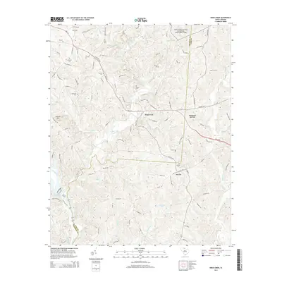
 2011 Chesnee2011 Print · USGSCovers Cherokee County, including Chesnee, State Line, and other nearby areas
 - 2013 Map of Grover, 2013 Print
 2013 Grover2013 Print · USGSCovers Cherokee County, including Kings Mountain, Grover, and other nearby areas
 - 2013 Map of Boiling Springs South, 2013 Print
 2013 Boiling Springs South2013 Print · USGSCovers Cherokee County, including Boiling Springs, Maud, and other nearby areas
 - 2013 Map of Kings Mountain, 2013 Print
 2013 Kings Mountain2013 Print · USGSCovers Cherokee County, including Gastonia, Kings Mountain, and other nearby areas
 - 2014 Map of Kings Creek, 2014 Print
 2014 Kings Creek2014 Print · USGSCovers Cherokee County, including Smyrna, Piedmont Springs, and other nearby areas
 - 2014 Map of Gaffney, 2014 Print
 2014 Gaffney2014 Print · USGSCovers Cherokee County, including Gaffney, Wellington Manor, and other nearby areas
 - 2014 Map of Cowpens, 2014 Print
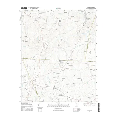
 2014 Cowpens2014 Print · USGSCovers Cherokee County, including Cowpens, Love Springs, and other nearby areas
 - 2014 Map of Blacksburg South, 2014 Print
 2014 Blacksburg South2014 Print · USGSCovers Cherokee County, including Gaffney, Blacksburg, and other nearby areas
 - 2014 Map of Chesnee, 2014 Print
 2014 Chesnee2014 Print · USGSCovers Cherokee County, including Chesnee, State Line, and other nearby areas
 - 2014 Map of Hickory Grove, 2014 Print
 2014 Hickory Grove2014 Print · USGSCovers Cherokee County, including Hickory Grove, Hoodtown, and other nearby areas
Showing maps 1-25 of 81
Top cities of Cherokee County
Frequently asked questions
- What are the different types of historical maps available for Cherokee County?
- What is the oldest map of Cherokee County?
- Where can I purchase historical maps of Cherokee County for my home or office?
- Where can I download high-res historical maps of Cherokee County?
- Are there historical topographic maps available for Cherokee County?
- Is there historical aerial imagery available for Cherokee County?
- Where are historical maps of Cherokee County sourced from?