Old Maps of Society Hill, South Carolina for Academic Research
Study the evolution of Society Hill with 17 high-resolution historic maps. Whether you're teaching, researching, or modeling changes in land use, these maps provide essential visual documentation of urban, environmental, and geographic change.
- Analyze long-term change: Track patterns in development, transportation, and natural features.
- Ideal for environmental or urban studies: Support academic projects with primary historical map data.
- Use in the classroom or lab: Educators and researchers rely on these maps to bring historical context to life.
These maps are a powerful tool for teaching, research, and visualizing how Society Hill has changed over the decades.
Society Hill, SC maps
(17)- 1942 Map of Rockingham, 1944 Print
 1942 Rockingham1944 Print · USGSThe North Carolina and South Carolina borderlands come alive in this wartime survey of the Pee Dee River valley. Researchers can trace historic mill sites like Burnt Factory Pond or locate family landmarks such as Roberdell and Old Sneedsboro.
 - 1953 Map of Florence, 1964 Print
 1953 Florence1964 Print · USGSThe Carolina borderlands in the mid-fifties were a landscape of vast river swamps and rising rail towns. Trace the legacy of the Seaboard Air Line through Florence or explore the wetlands surrounding Lake Waccamaw and the Green Swamp.3 unique versions available
 - 1954 Map of Florence
 1954 Florence1954 Print · USGSThe Carolinas borderlands come alive in the early fifties, showing the vital rail-and-river networks of the coastal plain. Genealogists can trace family footprints across the Green Swamp or through settlements like Red Springs, Chadbourn, and McColl.
 - 1963 Map of Mont Clare, 1964 Print
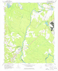
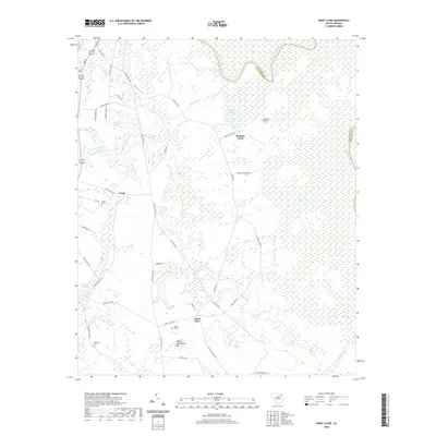
 1963 Mont Clare1964 Print · USGSThe Pee Dee River basin in the 1960s reveals a rural Darlington County landscape of family cemeteries and crossroad settlements. Researchers can locate the Rosenwald Consolidated Sch, trace the Old Grade Railroad, and find markers like Round O Cem.
 - 1971 Map of Society Hill, 1977 Print
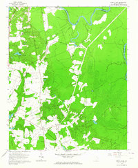
 1971 Society Hill1977 Print · USGSSociety Hill and the surrounding river lowlands are captured here in the early seventies as a hub of rail and river transit. Genealogists and local historians can trace family sites at St Marks Ch, the Rosenwald Sch, and the old community of Cash.
 - 1983 Map of Laurinburg, 1984 Print
 1983 Laurinburg1984 Print · USGSThe Carolina borderlands come into focus in the early 1980s, showcasing a landscape defined by the Sandhills Game Land and major river systems. Genealogists and rail historians can trace the paths of the Seaboard Coast Line Railroad through Hamlet or locate St Andrews College and Cheraw State Park.2 unique versions available
 - 1983 Map of Florence, 1985 Print
 1983 Florence1985 Print · USGSThe Pee Dee region in the early eighties shows a landscape shaped by river commerce and rail expansion. Researchers can trace historic river crossings at Galivants Ferry or locate vanished rail stops like Willow Creek Siding and Blue Brick.
 - 2011 Map of Society Hill, 2011 Print
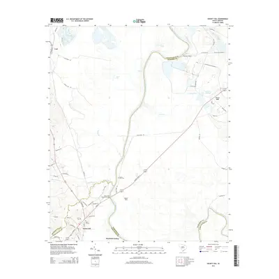
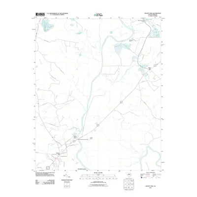 2011 Society Hill2011 Print · USGSCovers Society Hill, including Plumfield Landing, Dyers Hill, and other nearby areas
 - 2011 Map of Mont Clare, 2011 Print
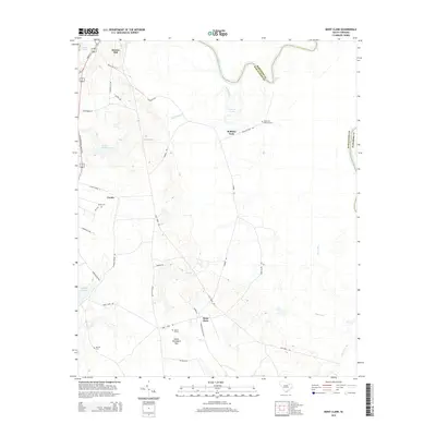
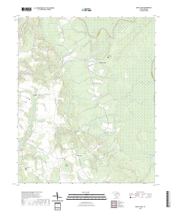
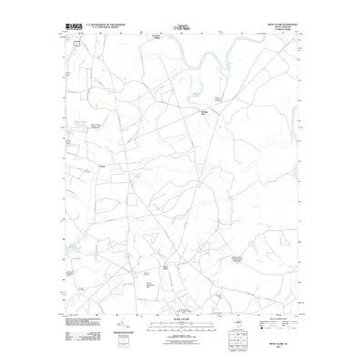 2011 Mont Clare2011 Print · USGSCovers Society Hill, including Robbins Neck, Gandy, and other nearby areas
 - 2014 Map of Society Hill, 2014 Print
 2014 Society Hill2014 Print · USGSCovers Society Hill, including Plumfield Landing, Dyers Hill, and other nearby areas
 - 2014 Map of Mont Clare, 2014 Print
 2014 Mont Clare2014 Print · USGSCovers Society Hill, including Robbins Neck, Gandy, and other nearby areas
 - 2017 Map of Society Hill, 2017 Print
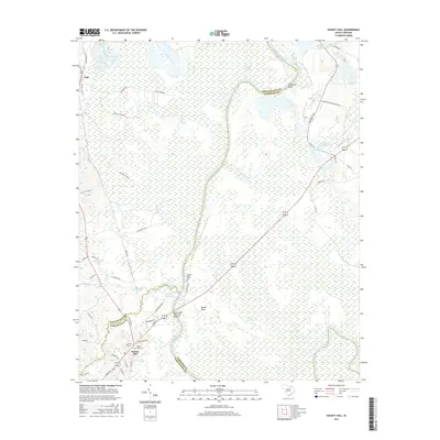 2017 Society Hill2017 Print · USGSCovers Society Hill, including Plumfield Landing, Dyers Hill, and other nearby areas
 - 2017 Map of Mont Clare, 2017 Print
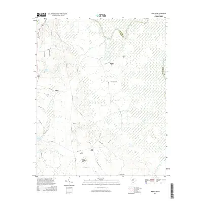 2017 Mont Clare2017 Print · USGSCovers Society Hill, including Robbins Neck, Gandy, and other nearby areas
 - 2020 Map of Mont Clare, 2020 Print
 2020 Mont Clare2020 Print · USGSCovers Society Hill, including Robbins Neck, Gandy, and other nearby areas
 - 2020 Map of Society Hill, 2020 Print
 2020 Society Hill2020 Print · USGSCovers Society Hill, including Plumfield Landing, Dyers Hill, and other nearby areas
 - 2024 Map of Mont Clare, 2024 Print
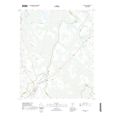
 2024 Mont Clare2024 Print · USGSDarlington and Marlboro counties meet along the winding banks of the Great Pee Dee River in this modern-day survey. Genealogists can trace family burial sites at Governor Williams Cem or Round O Cem and explore local landmarks like Devils Woodyard Bay.
 - 2024 Map of Society Hill, 2024 Print
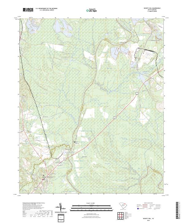 2024 Society Hill2024 Print · USGSSociety Hill and the surrounding Pee Dee riverfront appear in modern detail on this 2024 map. Genealogists and local historians can locate the Colonel Kolbs Tomb Cem, trace the wetlands of Goose Marsh, and identify old crossing points like Sparks Ferry.
End of results
Showing maps 1-17 of 17
Top cities near Society Hill
- Bennettsville historical maps
- Hartsville historical maps
- Darlington historical maps
- Cheraw historical maps
- Chesterfield historical maps
- Blenheim historical maps
Frequently asked questions
- What are the different types of historical maps available for Society Hill?
- What is the oldest map of Society Hill?
- Where can I purchase historical maps of Society Hill for my home or office?
- Where can I download high-res historical maps of Society Hill?
- Are there historical topographic maps available for Society Hill?
- Is there historical aerial imagery available for Society Hill?
- Where are historical maps of Society Hill sourced from?