Old Maps of Mill Branch, South Carolina for Genealogy
Trace your family roots with 11 historic maps of Mill Branch. These high-res maps reveal old neighborhoods, homesites, landmarks, and streets — helping you uncover where your ancestors lived and how the area evolved over time.
- Explore historic neighborhoods: Identify where your relatives may have lived in the 1800s or 1900s.
- Compare maps over time: Trace the changes in streets, buildings, and landmarks for multi-generational research.
- Perfect for genealogy & ancestry research: Used by family historians and researchers to map out lineage and migration.
These maps are an incredible resource for exploring your personal connection to Mill Branch's past.
Mill Branch, SC maps
(11)- 1940 Map of Florence East, 1971 Print
 1940 Florence East1971 Print · USGSThe Pee Dee region just before the Second World War shows a landscape defined by riverside landings and rural rail stops. Genealogists can locate family-named landmarks and community hubs like Browns Old Mill, Tabernacle Sch, and Hewitt Cem.
 - 1945 Map of Florence East
 1945 Florence East1945 Print · USGSThe Pee Dee region of South Carolina was a web of rail lines and river landings in the years following the second World War. Researchers can trace the heritage of local communities at Browns Old Mill, Mars Bluff, and rural schoolhouses like Red Hill Sch.2 unique versions available
 - 1953 Map of Florence, 1964 Print
 1953 Florence1964 Print · USGSThe Carolina borderlands in the mid-fifties were a landscape of vast river swamps and rising rail towns. Trace the legacy of the Seaboard Air Line through Florence or explore the wetlands surrounding Lake Waccamaw and the Green Swamp.3 unique versions available
 - 1954 Map of Florence
 1954 Florence1954 Print · USGSThe Carolinas borderlands come alive in the early fifties, showing the vital rail-and-river networks of the coastal plain. Genealogists can trace family footprints across the Green Swamp or through settlements like Red Springs, Chadbourn, and McColl.
 - 1983 Map of Florence, 1985 Print
 1983 Florence1985 Print · USGSThe Pee Dee region in the early eighties shows a landscape shaped by river commerce and rail expansion. Researchers can trace historic river crossings at Galivants Ferry or locate vanished rail stops like Willow Creek Siding and Blue Brick.
 - 1986 Map of Pamplico North, 1987 Print
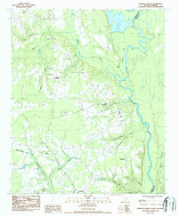 1986 Pamplico North1987 Print · USGSThe Pee Dee riverfront and rural Florence County are captured here in the mid-eighties, showing a landscape of traditional crossroads and river bends. Genealogists can locate family landmarks such as Willow Creek Ch, Davistown, and Pleasant Hill Cem.
 - 2011 Map of Pamplico North, 2011 Print
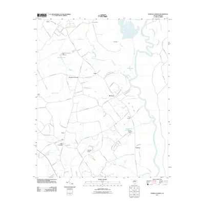 2011 Pamplico North2011 Print · USGSCovers Mill Branch, including Pamplico, Kennedy Crossroads, and other nearby areas
 - 2014 Map of Pamplico North, 2014 Print
 2014 Pamplico North2014 Print · USGSCovers Mill Branch, including Pamplico, Kennedy Crossroads, and other nearby areas
 - 2017 Map of Pamplico North, 2017 Print
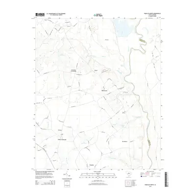
 2017 Pamplico North2017 Print · USGSCovers Mill Branch, including Pamplico, Kennedy Crossroads, and other nearby areas
 - 2020 Map of Pamplico North, 2020 Print
 2020 Pamplico North2020 Print · USGSCovers Mill Branch, including Pamplico, Kennedy Crossroads, and other nearby areas
 - 2024 Map of Pamplico North, 2024 Print
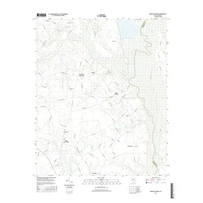
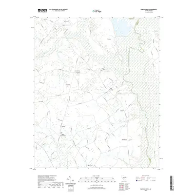
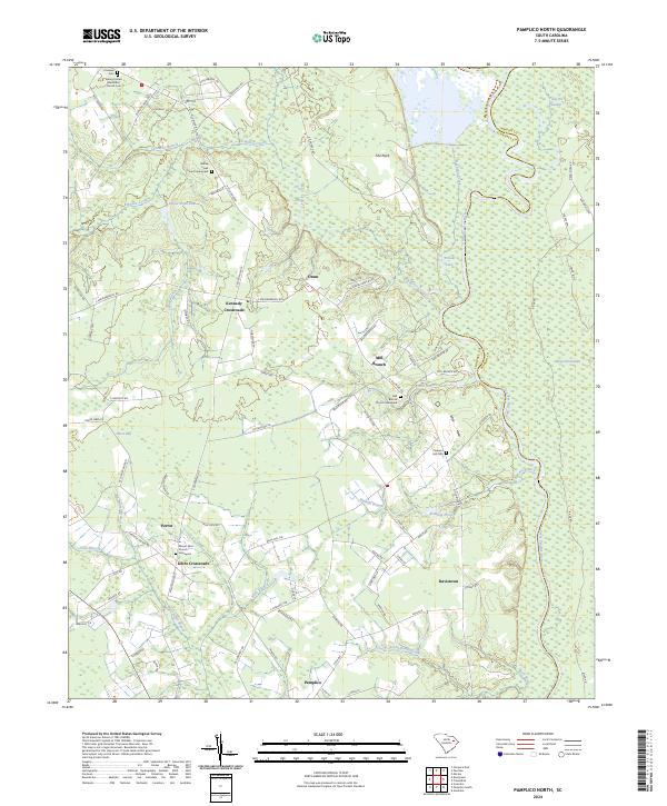 2024 Pamplico North2024 Print · USGSCoastal plains and deep swamps along the Great Pee Dee River characterize this Florence County landscape in the 2020s. Genealogists can trace community roots through several historic burial sites, including Pleasant Hill Cem and the Mill Branch Church Graveyard.
End of results
Showing maps 1-11 of 11
Top cities near Mill Branch
- Florence historical maps
- Marion historical maps
- Lake City historical maps
- Pamplico historical maps
- Scranton historical maps
- Quinby historical maps
See more
Frequently asked questions
- What are the different types of historical maps available for Mill Branch?
- What is the oldest map of Mill Branch?
- Where can I purchase historical maps of Mill Branch for my home or office?
- Where can I download high-res historical maps of Mill Branch?
- Are there historical topographic maps available for Mill Branch?
- Is there historical aerial imagery available for Mill Branch?
- Where are historical maps of Mill Branch sourced from?