Old Maps of Parker Crossroads, South Carolina for Academic Research
Study the evolution of Parker Crossroads with 11 high-resolution historic maps. Whether you're teaching, researching, or modeling changes in land use, these maps provide essential visual documentation of urban, environmental, and geographic change.
- Analyze long-term change: Track patterns in development, transportation, and natural features.
- Ideal for environmental or urban studies: Support academic projects with primary historical map data.
- Use in the classroom or lab: Educators and researchers rely on these maps to bring historical context to life.
These maps are a powerful tool for teaching, research, and visualizing how Parker Crossroads has changed over the decades.
Parker Crossroads, SC maps
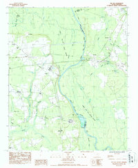
(11)- 1940 Map of Florence East, 1971 Print
 1940 Florence East1971 Print · USGSThe Pee Dee region just before the Second World War shows a landscape defined by riverside landings and rural rail stops. Genealogists can locate family-named landmarks and community hubs like Browns Old Mill, Tabernacle Sch, and Hewitt Cem.
 - 1945 Map of Florence East
 1945 Florence East1945 Print · USGSThe Pee Dee region of South Carolina was a web of rail lines and river landings in the years following the second World War. Researchers can trace the heritage of local communities at Browns Old Mill, Mars Bluff, and rural schoolhouses like Red Hill Sch.2 unique versions available
 - 1953 Map of Florence, 1964 Print
 1953 Florence1964 Print · USGSThe Carolina borderlands in the mid-fifties were a landscape of vast river swamps and rising rail towns. Trace the legacy of the Seaboard Air Line through Florence or explore the wetlands surrounding Lake Waccamaw and the Green Swamp.3 unique versions available
 - 1954 Map of Florence
 1954 Florence1954 Print · USGSThe Carolinas borderlands come alive in the early fifties, showing the vital rail-and-river networks of the coastal plain. Genealogists can trace family footprints across the Green Swamp or through settlements like Red Springs, Chadbourn, and McColl.
 - 1983 Map of Florence, 1985 Print
 1983 Florence1985 Print · USGSThe Pee Dee region in the early eighties shows a landscape shaped by river commerce and rail expansion. Researchers can trace historic river crossings at Galivants Ferry or locate vanished rail stops like Willow Creek Siding and Blue Brick.
 - 1986 Map of Pee Dee, 1987 Print
 1986 Pee Dee1987 Print · USGSThe Great Pee Dee River lowlands are shown here in the late 1970s, marking the crossroads of Florence and Marion counties. Genealogists can locate rural landmarks like Bowers Chapel, Mars Bluff, and the small settlement of Blue Brick.
 - 2011 Map of Pee Dee, 2011 Print
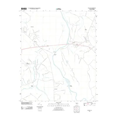 2011 Pee Dee2011 Print · USGSCovers Parker Crossroads, including Oak Grove, Carter Landing, and other nearby areas
 - 2014 Map of Pee Dee, 2014 Print
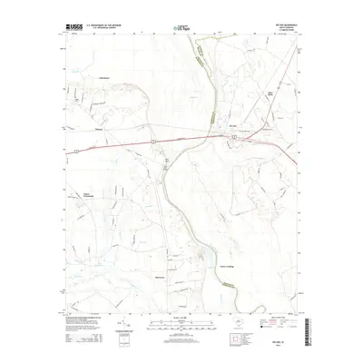 2014 Pee Dee2014 Print · USGSCovers Parker Crossroads, including Oak Grove, Carter Landing, and other nearby areas
 - 2017 Map of Pee Dee, 2017 Print
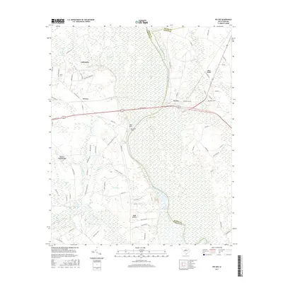 2017 Pee Dee2017 Print · USGSCovers Parker Crossroads, including Oak Grove, Carter Landing, and other nearby areas
 - 2020 Map of Pee Dee, 2020 Print
 2020 Pee Dee2020 Print · USGSCovers Parker Crossroads, including Oak Grove, Carter Landing, and other nearby areas
 - 2024 Map of Pee Dee, 2024 Print
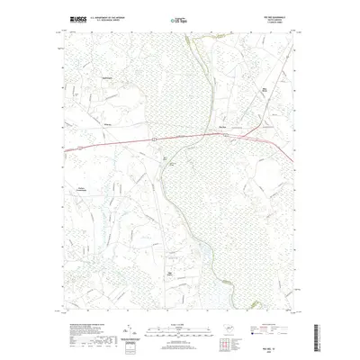
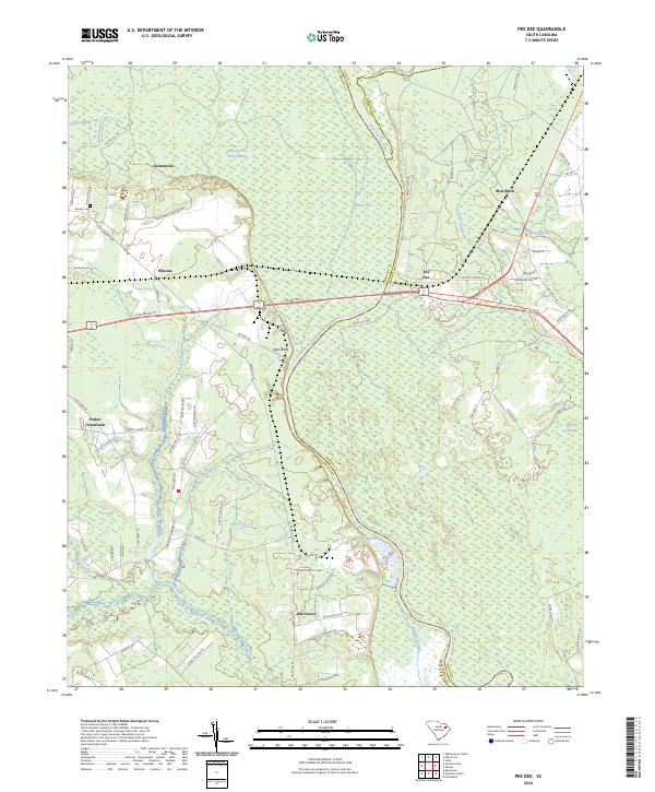 2024 Pee Dee2024 Print · USGSThe Pee Dee River basin comes to life in this modern survey of the Florence and Marion county borders. Researchers can locate family landmarks such as Moody Cem and early settlements like Winona, Mars Bluff, and the riverside community of Pee Dee.
End of results
Showing maps 1-11 of 11
Top cities near Parker Crossroads
- Florence historical maps
- Marion historical maps
- Dillon historical maps
- Pamplico historical maps
- Quinby historical maps
- Coward historical maps
See more
Frequently asked questions
- What are the different types of historical maps available for Parker Crossroads?
- What is the oldest map of Parker Crossroads?
- Where can I purchase historical maps of Parker Crossroads for my home or office?
- Where can I download high-res historical maps of Parker Crossroads?
- Are there historical topographic maps available for Parker Crossroads?
- Is there historical aerial imagery available for Parker Crossroads?
- Where are historical maps of Parker Crossroads sourced from?