Old Maps of Parker Crossroads, South Carolina for Metal Detecting
Plan your next treasure hunt with 11 historic maps of Parker Crossroads. Find old homesites, ghost towns, trails, and gathering spots that may be lost to time — perfect for identifying promising metal detecting locations.
- Locate forgotten sites: Uncover places like long-lost settlements, abandoned rail lines, or gathering spots.
- Plan better hunts: Use map overlays combined with LiDAR or satellite views to narrow in on historically rich areas.
- Made for detectorists: Thousands of hobbyists use these maps to discover relics, coins, and hidden history.
Use these historic maps to boost your research and find new opportunities beneath the surface of Parker Crossroads.
Parker Crossroads, SC maps
(11)- 1940 Map of Florence East, 1971 Print
 1940 Florence East1971 Print · USGSThe Pee Dee region just before the Second World War shows a landscape defined by riverside landings and rural rail stops. Genealogists can locate family-named landmarks and community hubs like Browns Old Mill, Tabernacle Sch, and Hewitt Cem.
 - 1945 Map of Florence East
 1945 Florence East1945 Print · USGSThe Pee Dee region of South Carolina was a web of rail lines and river landings in the years following the second World War. Researchers can trace the heritage of local communities at Browns Old Mill, Mars Bluff, and rural schoolhouses like Red Hill Sch.2 unique versions available
 - 1953 Map of Florence, 1964 Print
 1953 Florence1964 Print · USGSThe Carolina borderlands in the mid-fifties were a landscape of vast river swamps and rising rail towns. Trace the legacy of the Seaboard Air Line through Florence or explore the wetlands surrounding Lake Waccamaw and the Green Swamp.3 unique versions available
 - 1954 Map of Florence
 1954 Florence1954 Print · USGSThe Carolinas borderlands come alive in the early fifties, showing the vital rail-and-river networks of the coastal plain. Genealogists can trace family footprints across the Green Swamp or through settlements like Red Springs, Chadbourn, and McColl.
 - 1983 Map of Florence, 1985 Print
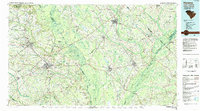 1983 Florence1985 Print · USGSThe Pee Dee region in the early eighties shows a landscape shaped by river commerce and rail expansion. Researchers can trace historic river crossings at Galivants Ferry or locate vanished rail stops like Willow Creek Siding and Blue Brick.
 - 1986 Map of Pee Dee, 1987 Print
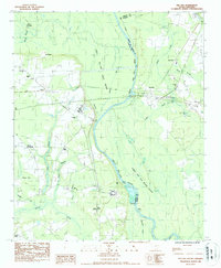 1986 Pee Dee1987 Print · USGSThe Great Pee Dee River lowlands are shown here in the late 1970s, marking the crossroads of Florence and Marion counties. Genealogists can locate rural landmarks like Bowers Chapel, Mars Bluff, and the small settlement of Blue Brick.
 - 2011 Map of Pee Dee, 2011 Print
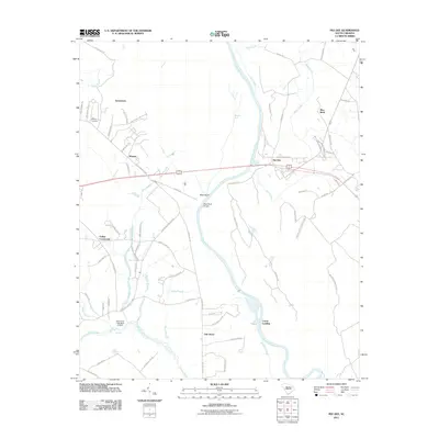 2011 Pee Dee2011 Print · USGSCoastal plain communities and riverine wetlands define this South Carolina landscape in the early twenty-first century. Researchers can trace local lineage near Moody Cemetery or locate the historic crossings of Mars Bluff Bridge and Carter Landing along the river.
 - 2014 Map of Pee Dee, 2014 Print
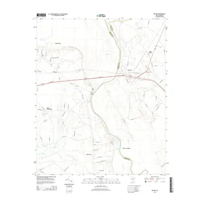 2014 Pee Dee2014 Print · USGSThe riverfront and rural settlements of the Pee Dee region are shown here as they appeared in the early 2010s. Researchers can locate family landmarks like Jamestown Cemetery or trace the geography of Carter Landing and Mars Bluff.
 - 2017 Map of Pee Dee, 2017 Print
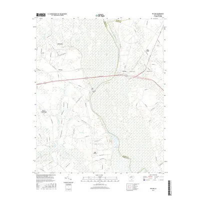 2017 Pee Dee2017 Print · USGSThe riverine landscapes of the Pee Dee region are captured here in the late 2010s, showing a blend of historic river crossings and rural settlements. Researchers can trace family sites near Moody Cem or follow the old roadbeds through Winona and Mars Bluff.
 - 2020 Map of Pee Dee, 2020 Print
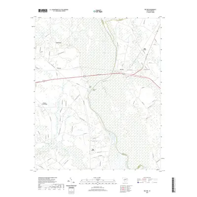 2020 Pee Dee2020 Print · USGSThe Great Pee Dee River corridor comes to life in this modern survey, revealing the enduring settlement patterns of Florence and Marion Counties. Genealogists and local historians can trace family-named sites such as Moody Cem and established communities like Mars Bluff and Oak Grove.
 - 2024 Map of Pee Dee, 2024 Print
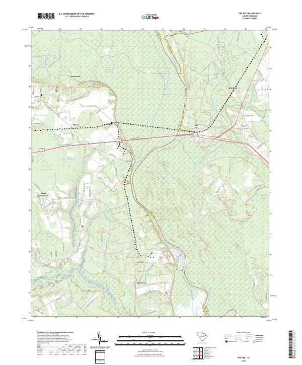 2024 Pee Dee2024 Print · USGSThe Pee Dee River basin comes to life in this modern survey of the Florence and Marion county borders. Researchers can locate family landmarks such as Moody Cem and early settlements like Winona, Mars Bluff, and the riverside community of Pee Dee.
End of results
Showing maps 1-11 of 11
Top cities near Parker Crossroads
- Florence historical maps
- Marion historical maps
- Dillon historical maps
- Pamplico historical maps
- Quinby historical maps
- Coward historical maps
See more
Frequently asked questions
- What are the different types of historical maps available for Parker Crossroads?
- What is the oldest map of Parker Crossroads?
- Where can I purchase historical maps of Parker Crossroads for my home or office?
- Where can I download high-res historical maps of Parker Crossroads?
- Are there historical topographic maps available for Parker Crossroads?
- Is there historical aerial imagery available for Parker Crossroads?
- Where are historical maps of Parker Crossroads sourced from?